

Inspiration
Wildland fires burn several hundred million hectares of vegetation every year, and increased fire activity has been reported in many global regions. Many of these fires have had serious negative impacts on human safety, health, regional economies, global climate change, and ecosystems in non-fire-prone biomes. It seems like every year there's a handful of wildfires every summer that sweep across BC and sometimes even Alberta; they vary in intensity and damage, from providing a mild inconvenience and closed roads to getting completely ravaged to near-total destruction. Wildfires are not new, but between the climate change, careless campers with smouldering campfires, and Mother Nature's penchant for indulging in a spot of lightning or two, it's been a bad time for wildfires lately. Not only are wildfires dangerous (because, fire) - they also produce so much smoke that even neighbouring provinces may be affected, resulting in a week (or several!) of deplorable air quality and acrid smoky lungfuls of air. This isn't exactly an exciting (or healthy) part of summer!
What it does
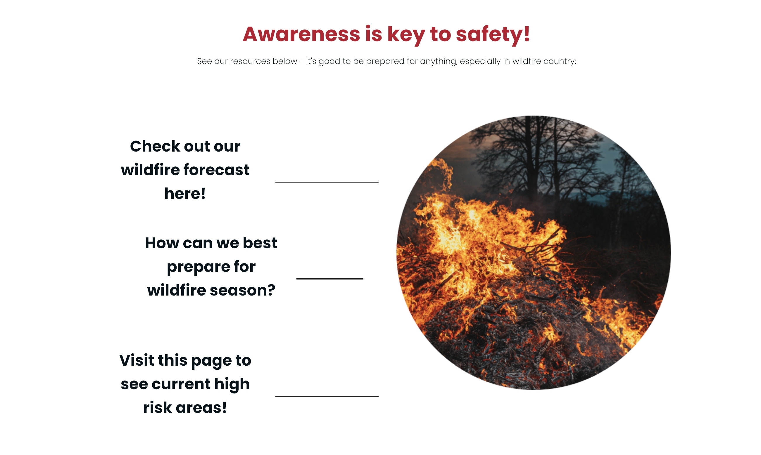
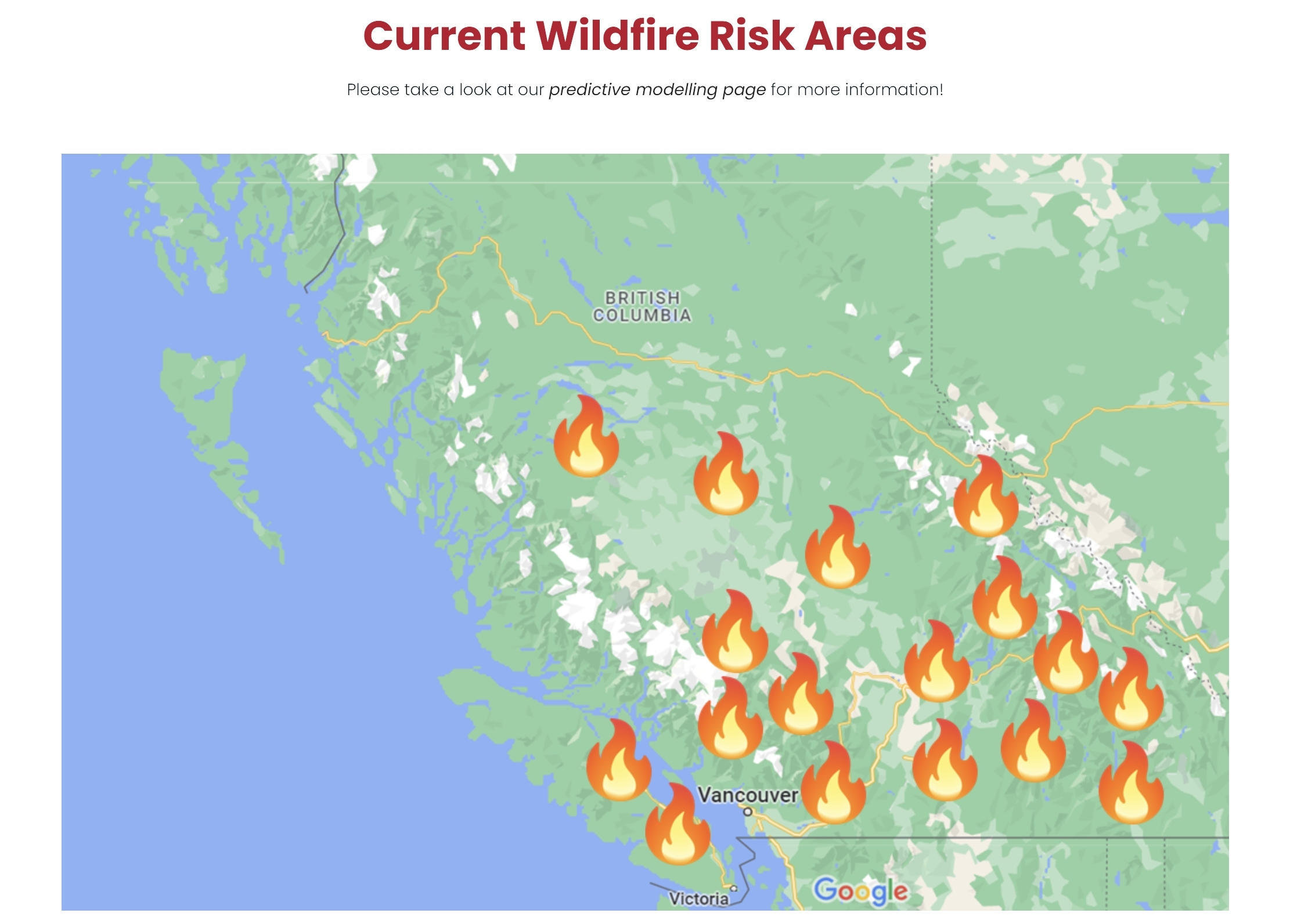
Our website, WildfireWatch, uses predictive modelling to predict the likelihood of wildfires occurring at a given date by analyzing past wildfire occurrences in order for us to know when to prepare for these (and when to evacuate, if needed). It also uses AI to generate helpful resources for those living in areas that are prone to wildfires, equipping them with the necessary information to be prepared for wildfire occurrences (and avoid them in the first place with fire safety and mindfulness tips) should they happen!
How we built it
We built and trained the predictive model in R using historical wildfire data and contributing factors. The model was then built into Python code that takes user input in order to run the model and determine whether the chosen date or geographic location is likely to see wildfire occurrences based on the predictive model. The website also provides resources for preparing for wildfires courtesy of the co:here API, which generates useful information that is good to know for those that would like to know what to have on hand in case of evacuation (or simply to have as an emergency kit just in case). HTML and CSS were used for the website, and PyScript was used to integrate some Python code into the HTML files.
Challenges we ran into
Creating a frontend and integrating it into our backend was our biggest challenge as usual, but we managed to find a way to create a functional and responsive website that utilized our backend (and was made only with HTML and CSS!)
Accomplishments that we're proud of
We coded our model entirely in R, but realized quickly that we needed to write it in Python to integrate it with the rest of our project - a teammate (doing her first hackathon!) was brilliant and learned how to do it perfectly in the short time given! Also, discovering that PyScript existed for our niche purposes was quite exciting.
What we learned
- you CAN make a decently functional and pretty website with just HTML and CSS
- R is great for data science but less helpful when you're coding things that aren't necessarily data science and you need to integrate them in one program,
- sleep is godtier
What's next for WildfireWatch
Full integration of geolocation API would be great!


Log in or sign up for Devpost to join the conversation.