Inspiration
Wildfires have become increasingly frequent and destructive, especially in areas like Los Angeles. During evacuations, people often struggle to find safe routes due to unpredictable fire spread, traffic congestion, and poor air quality. This project was inspired by the need for an AI-driven solution that not only finds the shortest route but also considers accessibility, real-time conditions, and wildfire risks to help people evacuate safely.
What it does
This project provides an intelligent wildfire escape route planner by integrating AI and real-time data sources:
- Wildfire Prediction: A machine learning model predicts whether certain weather conditions indicate the presence of a wildfire. If a wildfire is detected, users receive a danger warning; otherwise, the location is marked as generally safe.
- Optimized Evacuation Routes: Uses the A-star pathfinding algorithm to determine the best escape route based on:
- Shortest distance (Routes API)
- Least traffic congestion (Routes API)
- Best Air quality conditions (Air Quality API)
- Optimized Evacuation Routes: Uses the A-star pathfinding algorithm to determine the best escape route based on:
- Accessible Shelter Locations: The Places API identifies nearby accessible shelters to people with disabilities.
How we built it
This project integrates multiple technologies to create an intelligent wildfire escape route planner:
- Machine Learning Model: Predicts whether certain weather conditions indicate the presence of a wildfire. If a wildfire is detected, users receive a danger warning; otherwise, the location is marked as safe.
- A-star Pathfinding Algorithm: Finds the most efficient escape route by considering:
- Distance (Routes API)
- Traffic congestion (Routes API)
- Air quality conditions (Air Quality API)
- Distance (Routes API)
- Places API: Identifies accessible shelters along the escape route, ensuring safe destinations for evacuees.
Challenges we ran into
- Integrating multiple APIs and ensuring real-time updates without performance bottlenecks.
- Fine-tuning the A-star heuristic function to balance distance, traffic, and air quality effectively.
- Training the wildfire prediction model with reliable data to minimize false alarms.
- Ensuring accessibility so people with disabilities can safely evacuate to designated shelters.
Accomplishments that we're proud of
- Successfully integrated multiple APIs to create a real-time, data-driven evacuation tool.
- Developed an optimized A-star heuristic function that balances multiple factors for safer route planning.
- Trained a machine learning model that accurately predicts wildfire risks based on weather data.
- Ensured that the tool considers accessibility, making evacuations safer for people with disabilities.
- Designed a solution that could potentially save lives during emergency wildfire evacuations.
What we learned
- How to optimize pathfinding with A-star by incorporating multiple real-world factors.
- The importance of data-driven decision-making in emergencies.
- How can different APIs (Routes, Places, Air Quality) be combined for smarter navigation?
- Challenges in predicting wildfire occurrences based on weather data and how ML models can be improved over time.
What's next for WildFire Escape Plan
- Provide real-time wildfire spread predictions using satellite imagery and additional datasets.
- Offer voice-enabled emergency assistance for people in distress.
- Integrate with government emergency response systems for coordinated evacuations.
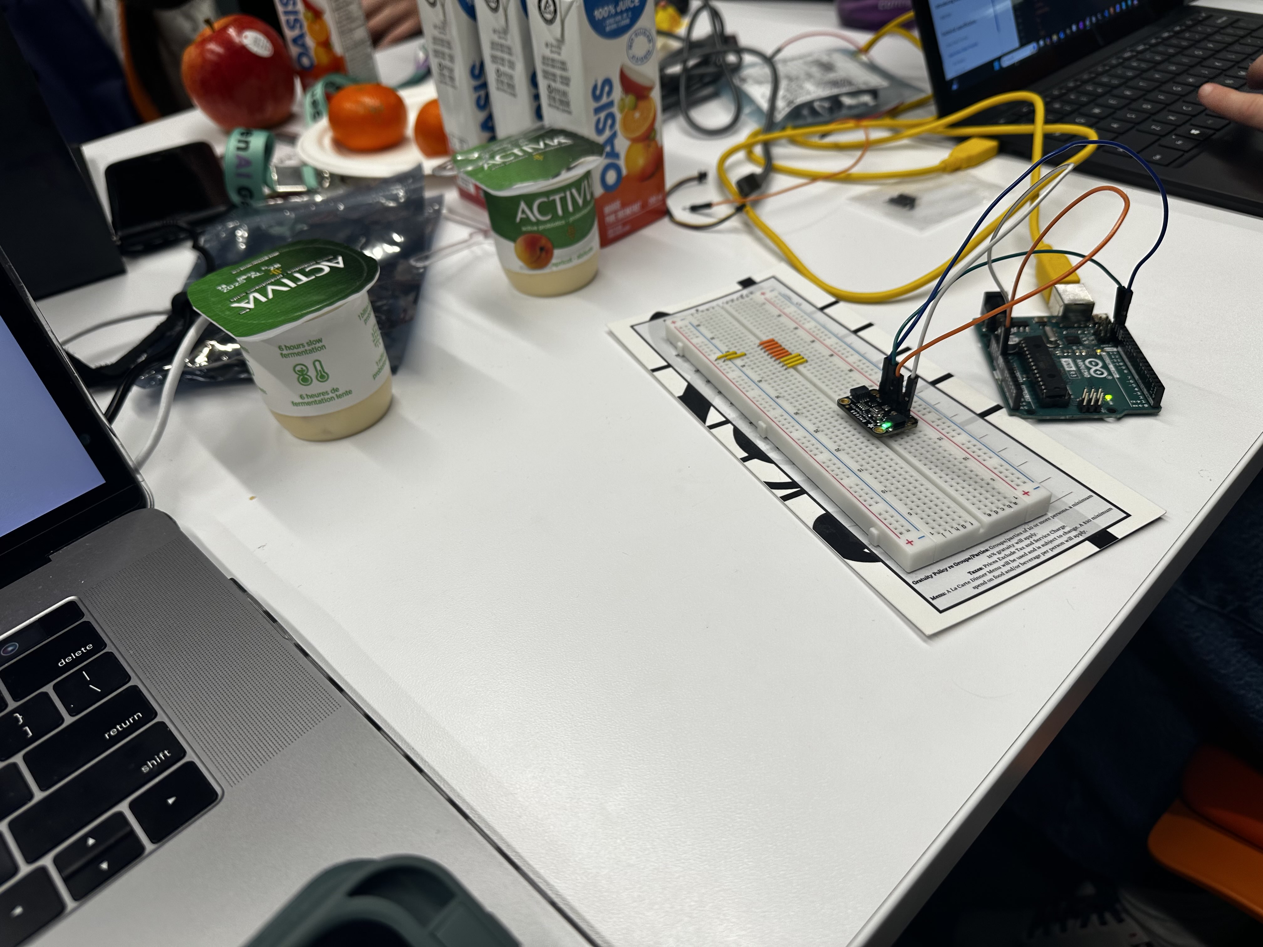
- Possibly use hardware (specifically sensors) to add another layer of functionality.
- Expand to other natural disasters (such as hurricanes, tsunamis, etc.) in other parts of the world
- Plans to include a wider range of people with disabilities
Built With
- airqualityapi
- colab
- python
- routesapi


Log in or sign up for Devpost to join the conversation.