-
-
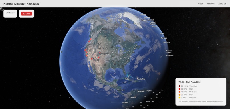
Globe display with wildfire locations shown
-
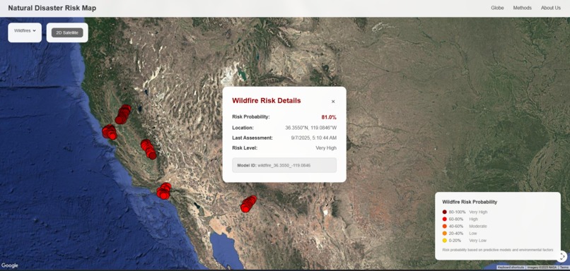
2d satellite image with clickable popups showing region information and risk
-
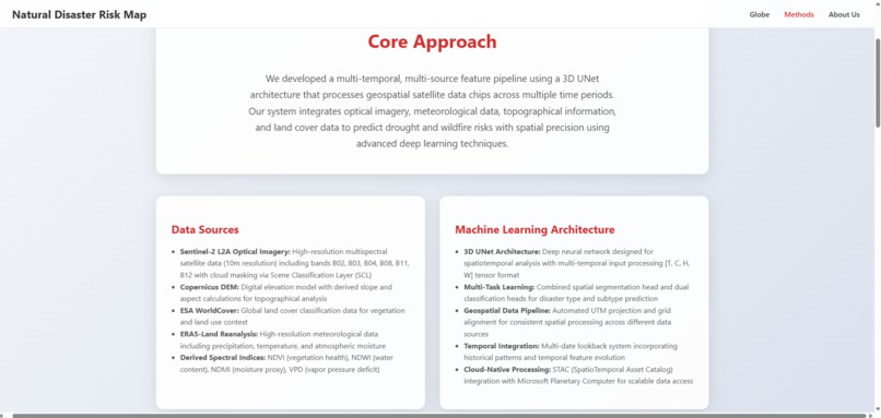
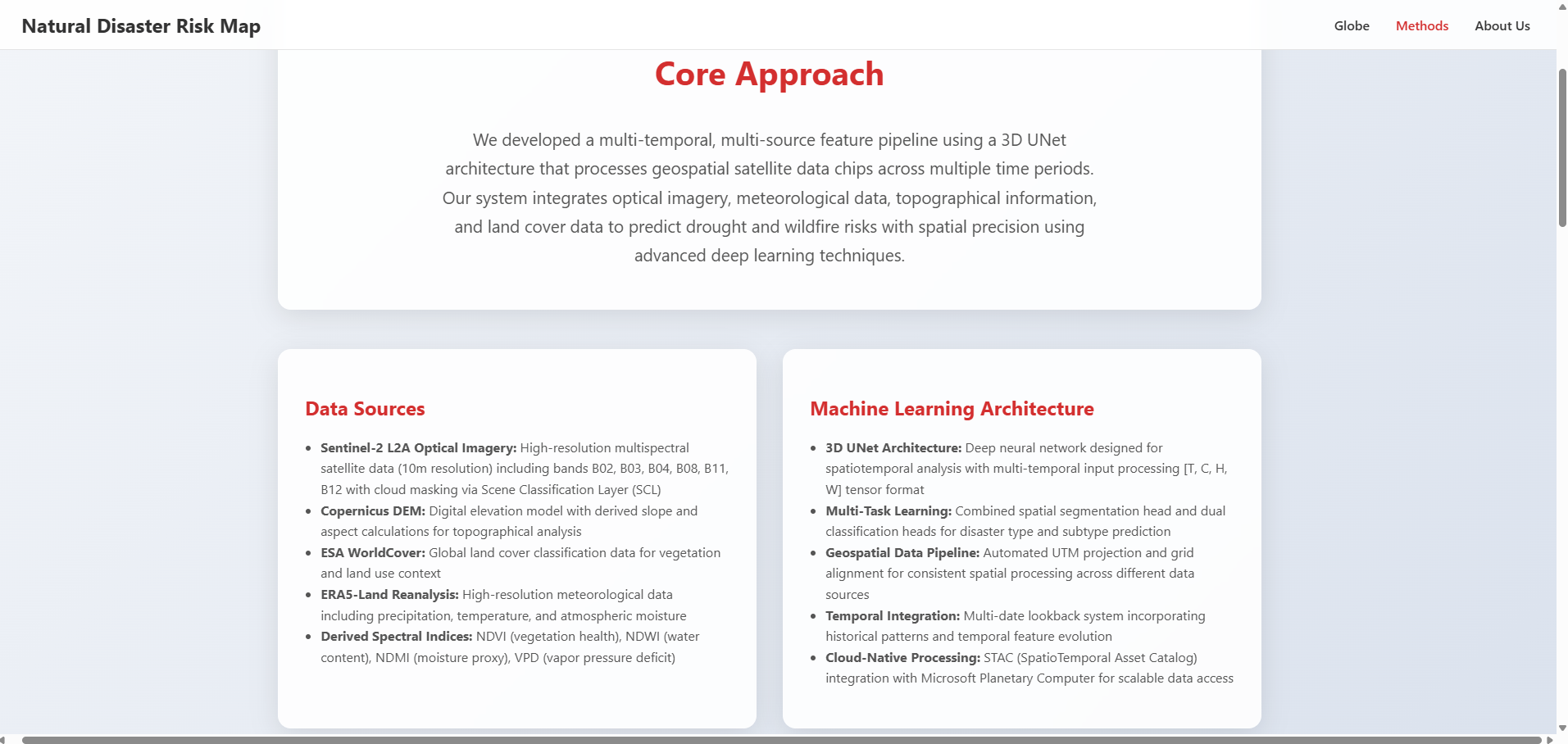
Our methods
-
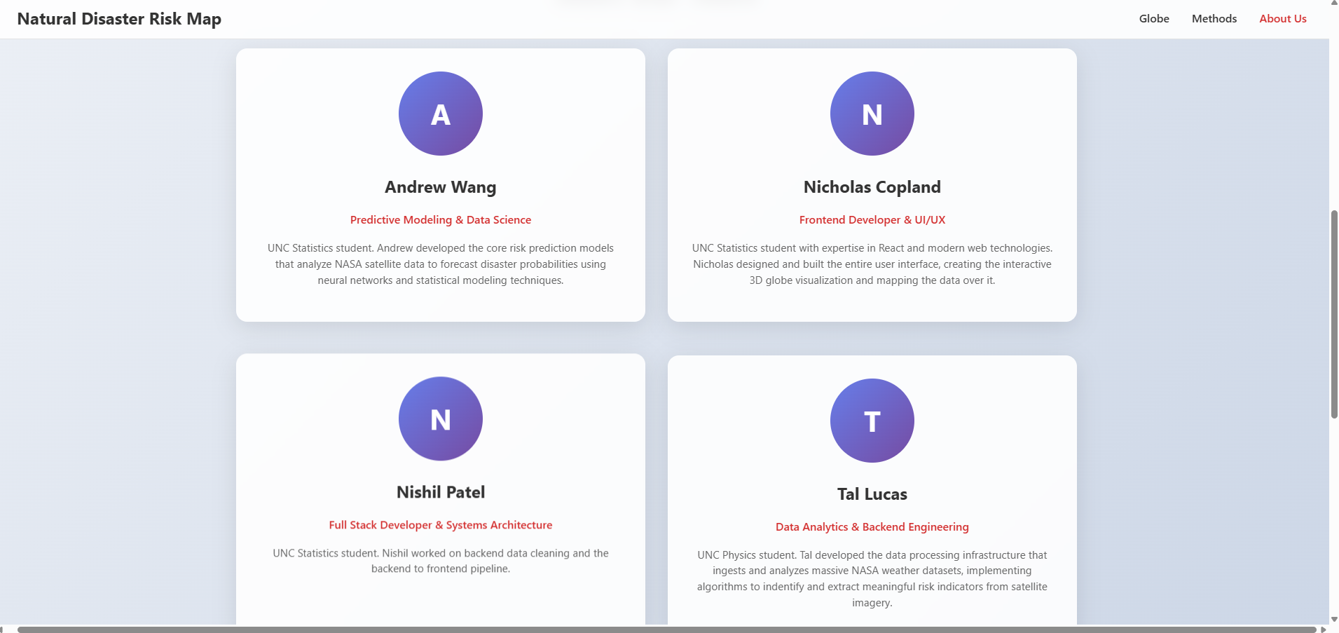
Our contributions


Inspiration
Recent climate disasters, especially wildfires in California and increasing drought severity, highlighted the need for predictive tools that can help communities prepare for natural disasters before they strike.
What it does
Maps wildfire and drought risk in an interactive format. The data being displayed is simulated.
How we built it
We developed a multi-source feature pipeline (not connected to the UI) that integrates Sentinel-2 optical imagery, Copernicus DEM data, ESA WorldCover land classification, and ERA5-Land meteorological data. Our 3D UNet model processes spatiotemporal data tensors [T, C, H, W] with multi-task learning for both spatial segmentation and disaster classification. The frontend uses React with Google Maps 3D API for visualization and user interaction.
Challenges we ran into
Time was ultimately the biggest challenge. The vastness of our datasets. Model runtimes and errors.
Accomplishments that we're proud of
Successfully integrated real satellite data from multiple sources using STAC protocols, implemented a working 3D UNet architecture for spatiotemporal prediction, created an intuitive 3D visualization interface, and built a no-args training system that simplifies model deployment. Implemented google-maps api to display model results. UI is clean and usable.
What we learned
Working with cloud-native geospatial data at scale, applying deep learning to Earth observation problems, the complexity of multi-temporal satellite data processing, and not to bite off more than we can chew.
What's next for Wildfire/Drought Prediction
Improve model accuracy through ensemble methods, add more disaster types, and pipeline to the frontend for live display.

Log in or sign up for Devpost to join the conversation.