-
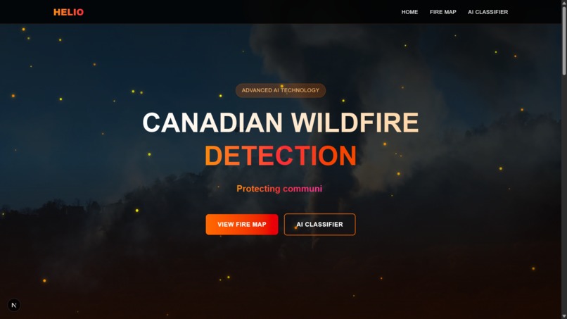
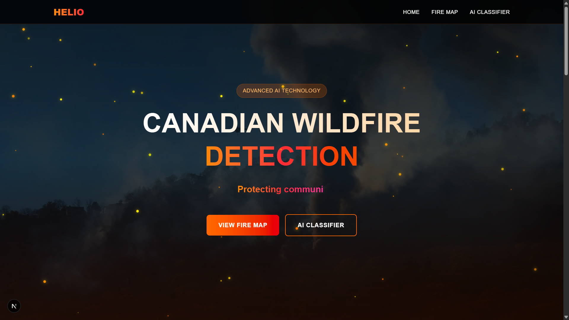
Homepage
-

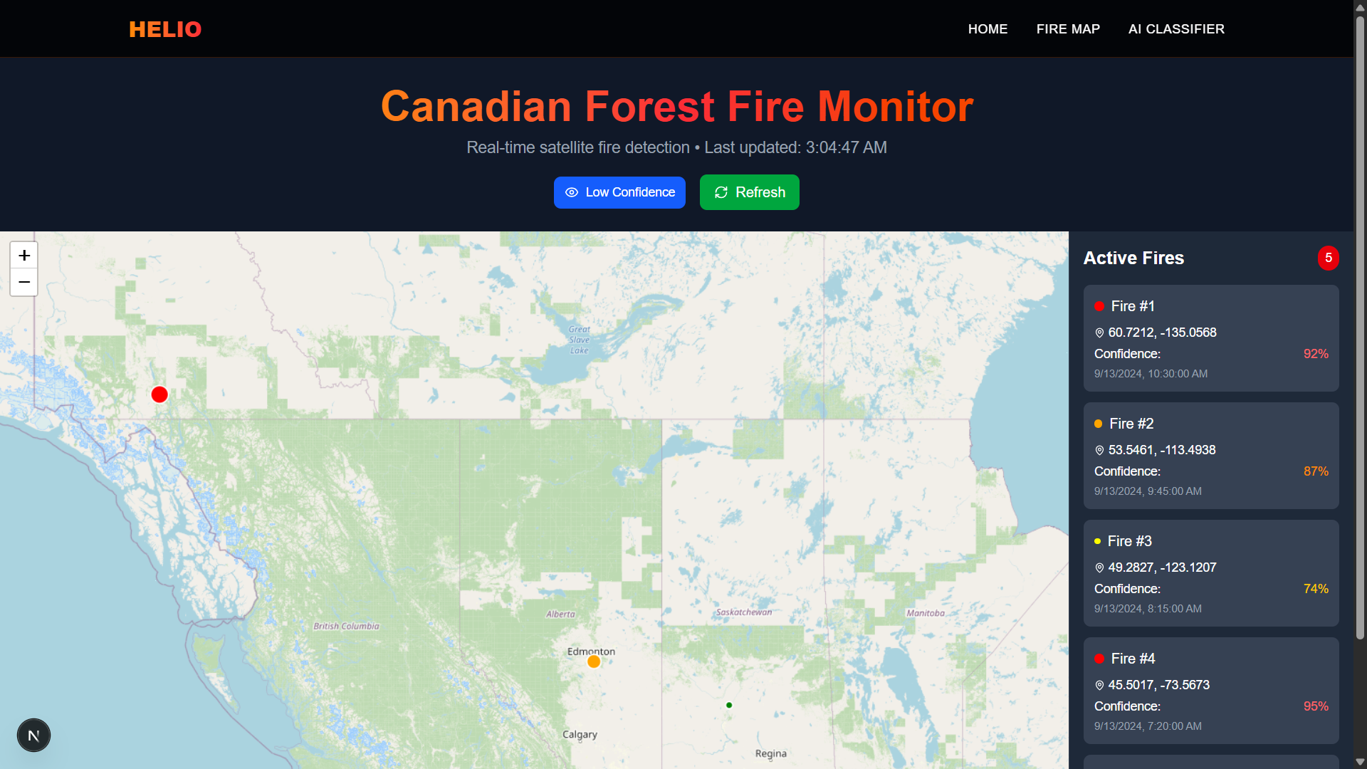
Real-time Wildfire Map
-

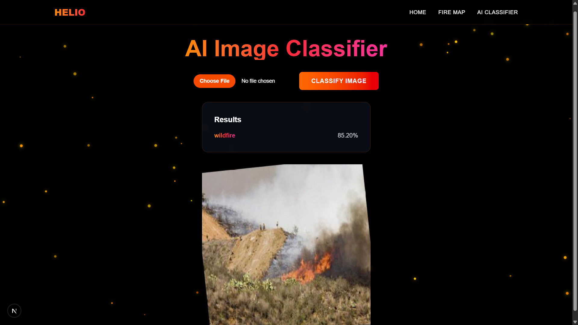
Wildfire Satellite Image Classifier
-
AI-powered Object Detection
-
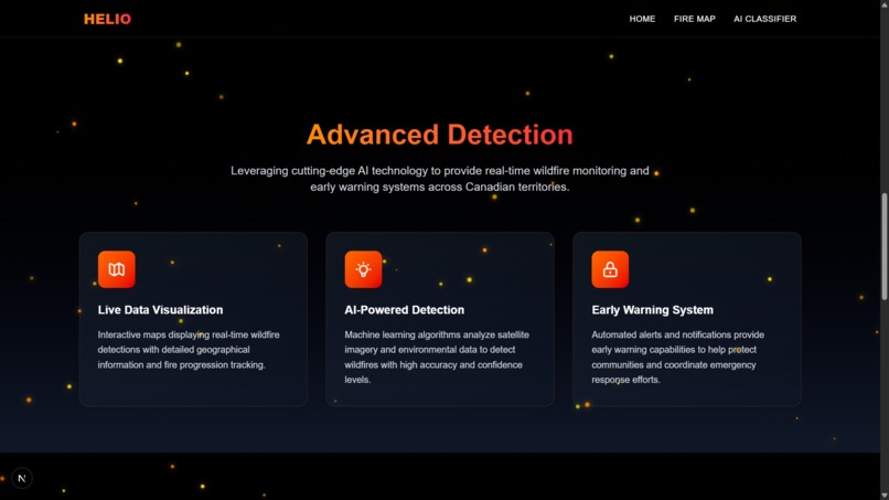
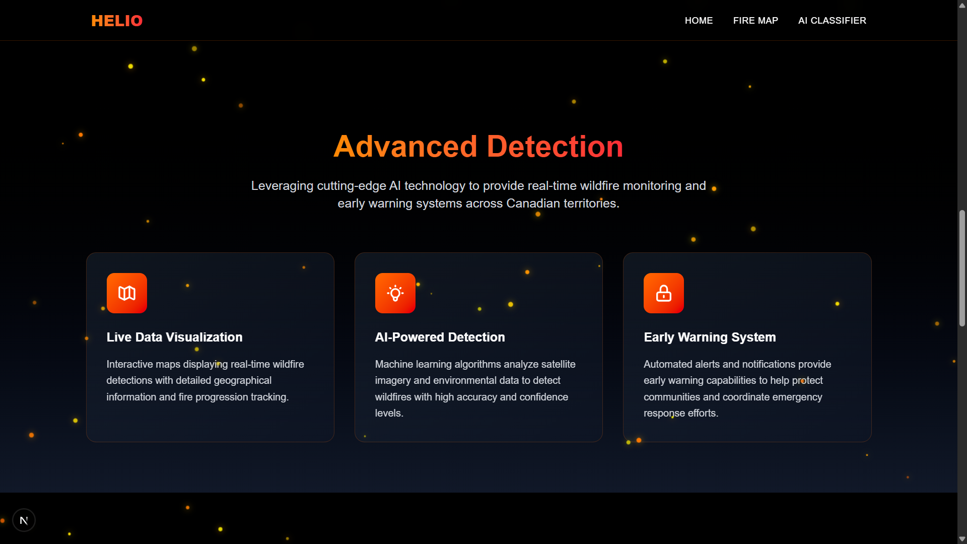
Features
Inspiration
1. The Growing Threat of Wildfires in Canada
Wildfires are a natural part of Canada’s ecosystem, but in recent years their frequency, intensity, and reach have grown dramatically due to:
- Climate change → Warmer, drier conditions extend the fire season and make forests more flammable.
- Human activity → More fires are caused by people (campfires, equipment sparks, debris burning) than lightning.
- Expanding communities → More towns and settlements now border forested areas, placing more people directly in harm’s way.
The 2023 wildfire season, for example, was the worst in Canadian history, burning over 18 million hectares and displacing tens of thousands of people. With smoke spreading nationwide (and even crossing into the U.S.), wildfires are no longer just a rural concern — they are a national public safety issue.
2. Why Traditional Alerts Aren’t Enough
Canada’s Alert Ready system can push emergency warnings to television and radio, compatible mobile phones and some online services. However, this system has blind spots:
- No Internet Access → Many rural and northern communities have little or no internet connectivity, making digital alerts ineffective.
- Spotty Cell Coverage → Wildfire-prone areas often lack reliable mobile service, so alerts may not reach residents.
- Infrastructure Vulnerability → Wildfires themselves can destroy power lines, cell towers, and fiber cables, cutting off communications exactly when people need them most.
This leaves thousands of Canadians at immediate risk with no guaranteed way to receive timely evacuation orders or safety instructions.
3. The Human Cost of Inaction
Failing to implement a reliable, offline EAS has severe consequences:
- Delayed evacuations → Fires can spread kilometers within hours; without alerts, people may not have enough time to leave safely.
- Loss of life and property → Entire communities, especially in northern or Indigenous regions, may be destroyed without warning.
- Wider public safety risks → First responders and rescue crews are endangered when evacuations are incomplete or chaotic.
Ultimately, every minute counts in a wildfire emergency. Without an inclusive alert system, many Canadians remain vulnerable.
About the Project
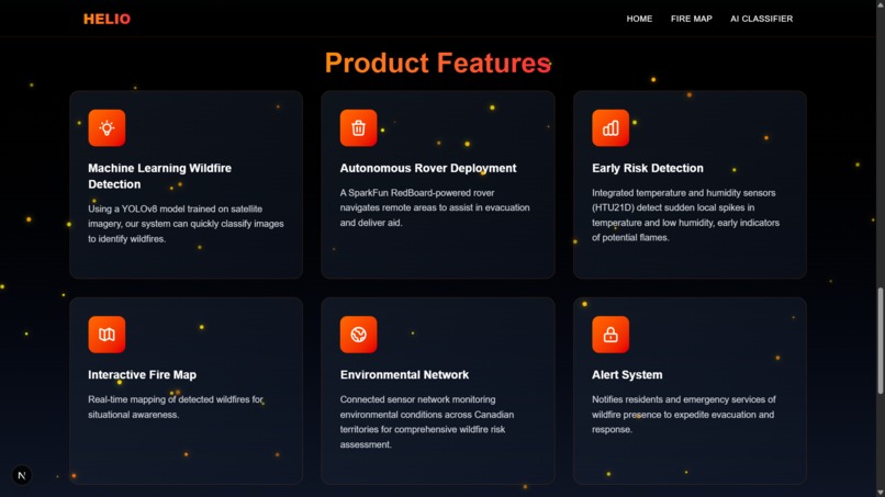
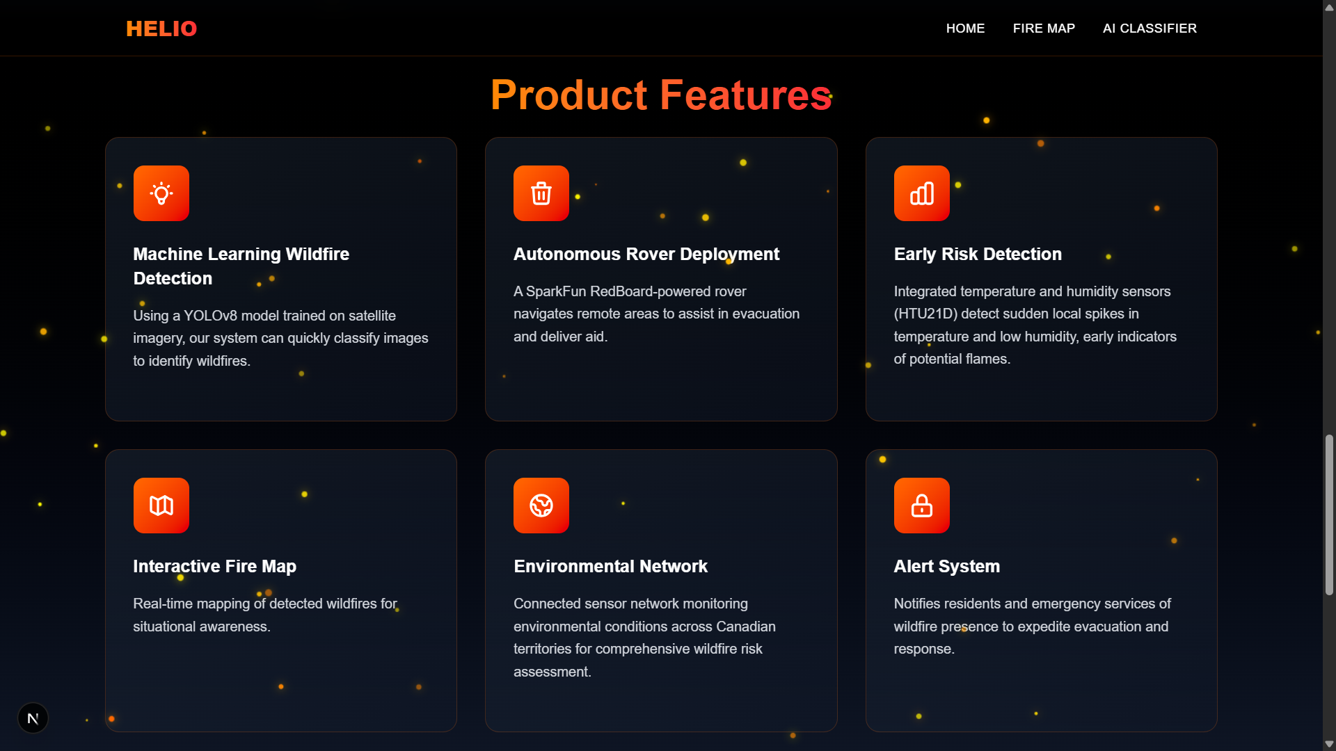
Helio integrates machine learning, hardware and satellite imagery to improve early wildfire detection and streamline emergency response through its core features:
- AI Wildfire Detection: YOLOv8 model trained on satellite imagery to identify wildfires with confidence scores.
- Autonomous Rover: A SparkFun RedBoard-powered rover navigates remote areas to assist in evacuation and deliver aid.
- Interactive Fire Map: A Canadian map of active wildfires that displays location, detection time, and confidence level.
- Alert System: Sends instant notifications via Twilio to residents and emergency services.
Tech Stack
- Frontend: Next.js, TailwindCSS
- Backend: FastAPI (Python), Twilio, Pillow (PIL), YOLOv8, PyTorch
- Hardware: SparkFun RedBoard, two-wheel drive, motor driver, switch and temperature, humidity, ultrasonic sensors
- Deployment: Rover capable of reaching remote areas, assisting people with limited WiFi access
Challenges Encountered
We could not implement an effective radio-based alert system due to the lack of hardware modules. This limited our ability to reach residents with no WiFi access in remote areas. The YOLOv8 model accuracy could be improved with additional training data, computational resources, and hyperparameter tuning.
What's next for Helio
- Enhance the rover with ultrasonic, temperature, humidity, and smoke sensors for better fire risk assessment and obstacle avoidance.
- Implement a radio communication feature to deliver alerts to people without WiFi access during wildfires.
- Improve the AI wildfire classifier for faster and more accurate detection by incorporating more satellite imagery and advanced training techniques.
Built With
- javascript
- nextjs
- numpy
- python
- pytorch
- sparkfun
- yolov8


Log in or sign up for Devpost to join the conversation.