-
-
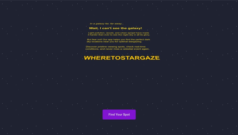
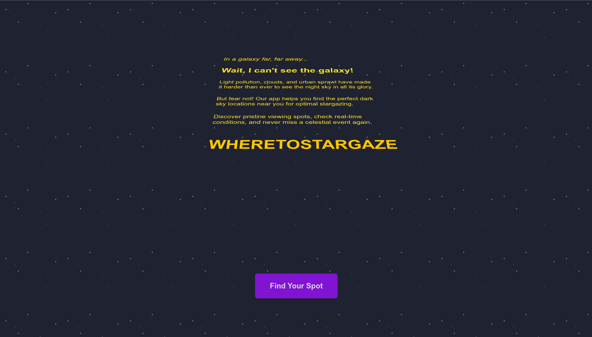
Intro/Explanation Screen
-
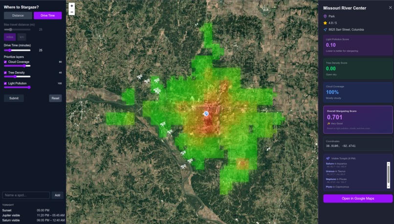
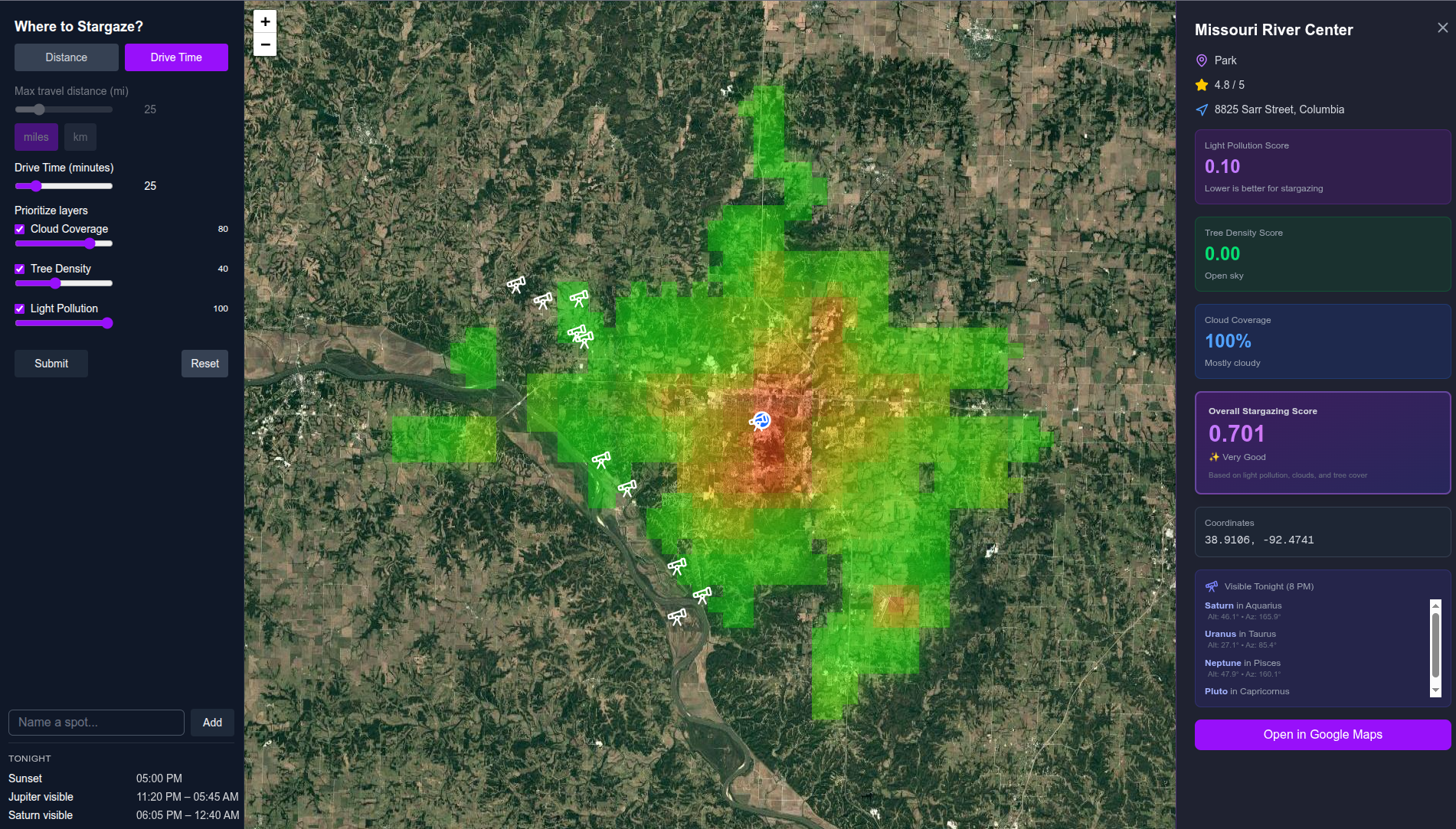
Application Interface with Suggested Location
Inspiration
Andrew went stargazing this week and had troubled finding a spot. It's a process of aimlessly looking at a map until you a park in the middle of nowhere. With the space theme of the hackathon, this idea jumped out to us, and we were excited that it could actually be useful for astronomy enjoyers.
What it does
The website uses your location, and based on certain parameters you pick (distance willing to travel, light pollution, cloud coverage, and tree coverage) will find the optimal locations to star gaze. It finds ideal places to look at stars such as parks, where you can find the statistics of each parameter, the google map of the place, and which planets are visible from that location.
How we built it
- Brainstormed ideas
- Collected resources and frameworks needed
- Built basic functionality of website (light pollution and finding optimal places)
- Added other parameters/features based on time left
Challenges we ran into
- Optimizing heatmap to reduce loading times
- Finding good api for our needs
- Using GIS system
Accomplishments that we're proud of
- UI is very clean and looks cool -Cohesive and complete feeling project
- Working with big GIS data that can't all be read into memory
- Creative demonstration/infomercial
- Well-Typed Python
What we learned
- New API implementations
- Leaflet.js
- Fast API
- Python Typing
- Continuous Development
What's next for wheretostargaze.us
- Improving parameters
- Adding more social aspects
Data Sources
Earth Observation Group Annual VNL V2 C. D. Elvidge, M. Zhizhin, T. Ghosh, F-C. Hsu, "Annual time series of global VIIRS nighttime lights derived from monthly averages: 2012 to 2019", Remote Sensing (In press)
Forest Service, U.S. Department of Agriculture (2025). TreeMap Data Explorer [Online]. Available at: https://apps.fs.usda.gov/lcms-viewer/treemap.html (Accessed: 9 November 2025).
Built With
- astronomyapi
- chatgpt
- claude
- copilot
- fastapi
- google-places
- javascript
- leafletjs
- openroute
- python
- react
- redis
- render
- s3
- tailwind
- tinydb
- typescript
- vercel


Log in or sign up for Devpost to join the conversation.