-
-
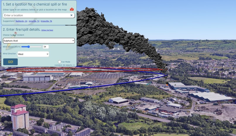
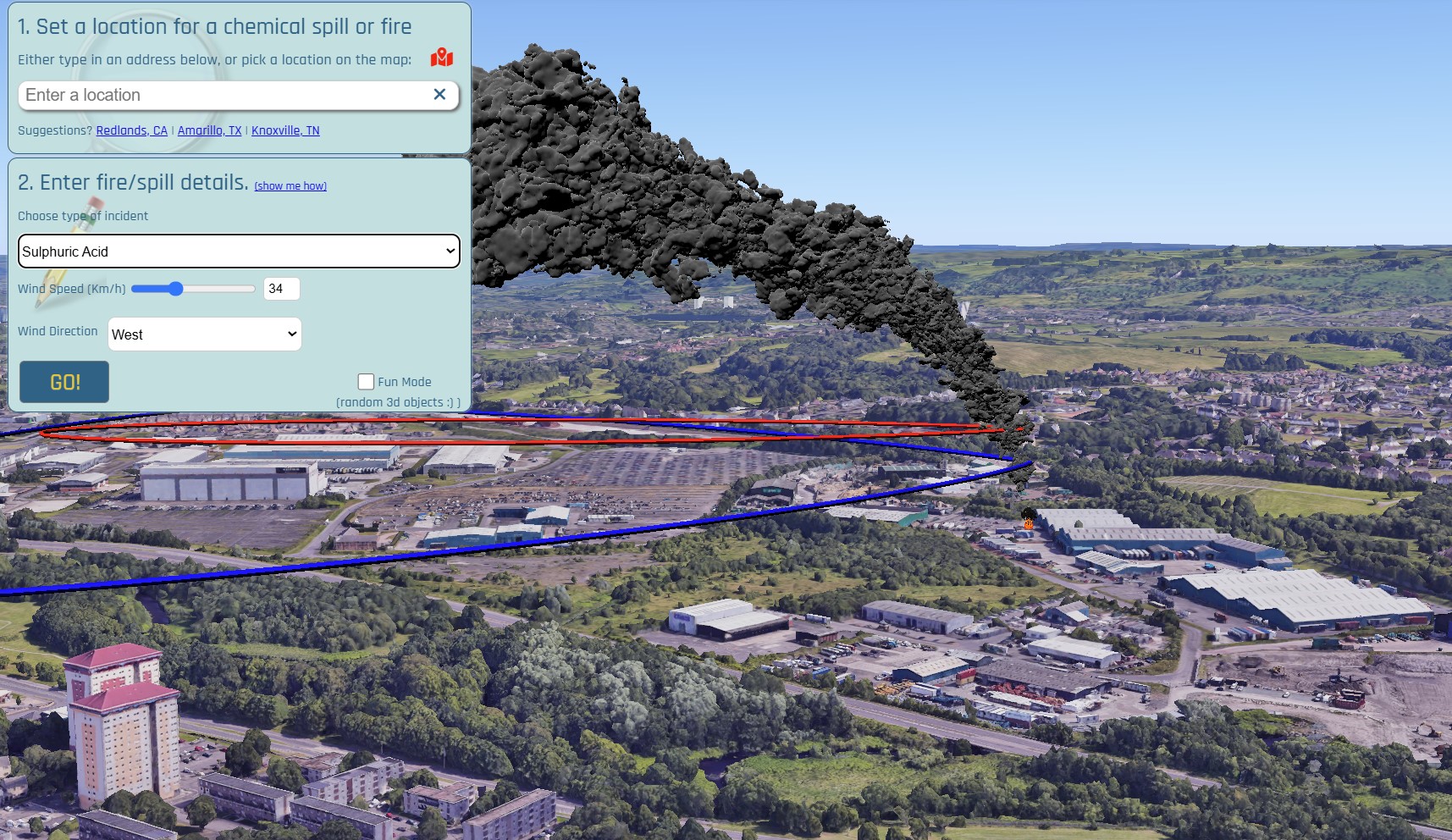
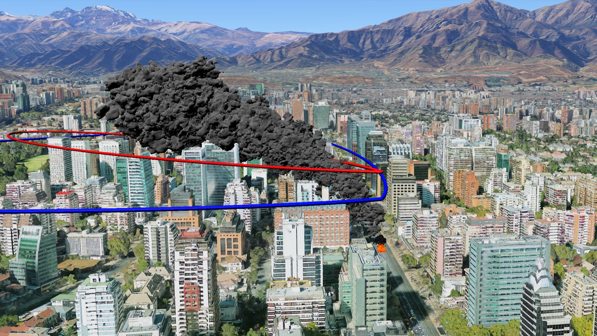
3d rendering of battery recycling factory fire smoke plume
-
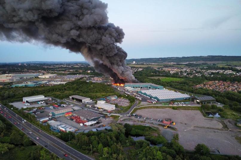
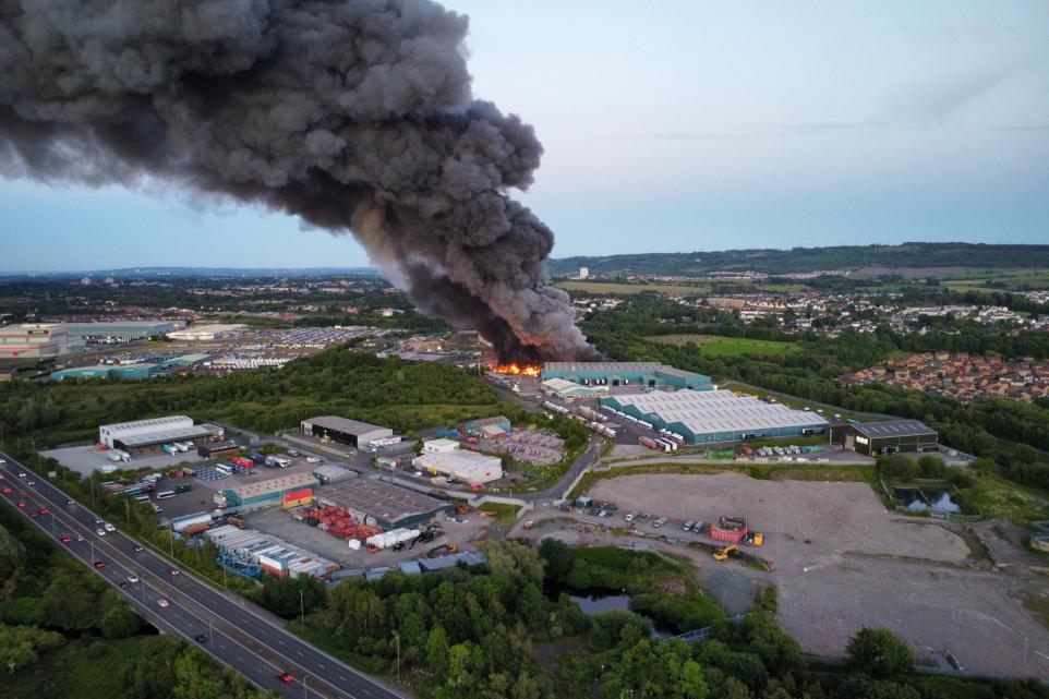
Chemical fire in a building at Lindwood Industrial Estate on Burnbrae Road, Paisley.
-
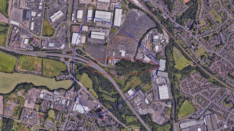
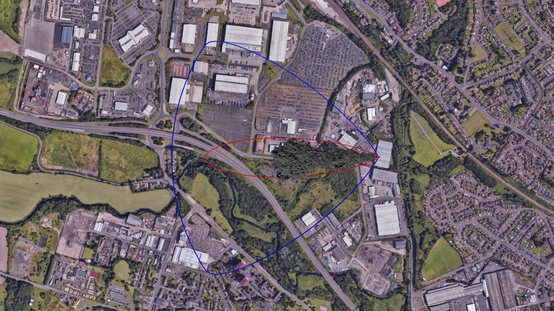
Dynamically created evacuation zones
-
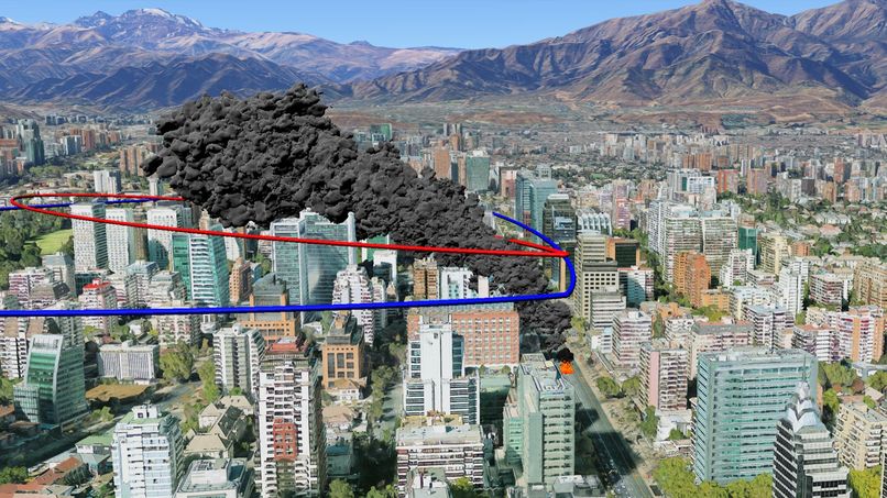
Fire in the City
-
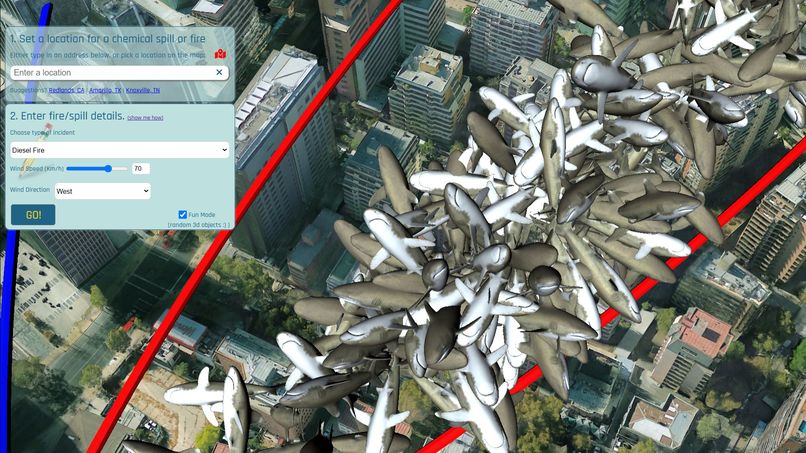
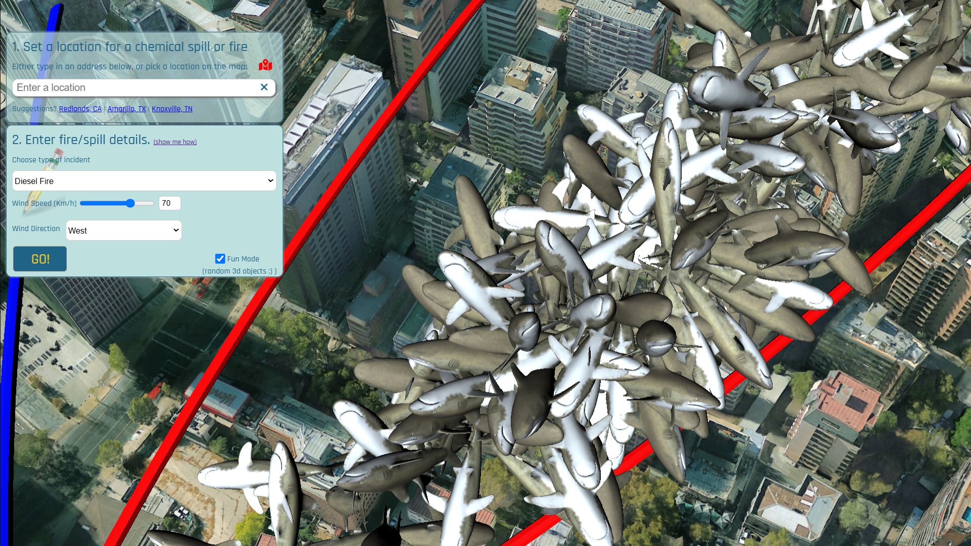
Fun Mode Enabled :)
Inspiration:
Chemical spills and fires can be very toxic and dangerous. Being able to quickly model where the toxic fallout will occur could help first responders manage the event efficiently thereby saving lives. Environmental management agencies could also make use of visual modeling to monitor the potential detrimental environmental effects these events create.
What it does:
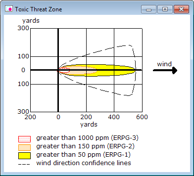
This simple to use app creates a virtual representation of a 3d chemical/smoke plume. The app takes into account what type of chemical/fire is involved and the wind direction and wind speed. You can either manually enter an location for the incident origin, or, pan and zoom the interactive map to manaually pinpoint the incident origin. Based on the scenario inputs, a realistic 3d smoke/plume model is genarated along with threat zones. A threat zone represents the area affected based on hazard level. These threat zones can be used to direct evacuation efforts.
How I built it:
To implement a plume model algorithm to dynamically create the coordinate geometry was the first step in building this app. The next step involved using the 3D Maps in Maps JavaScript API to render 3d objects to visualize a smoke/chemical plume.
Challenges I ran into:
Who knew plume modelling math could be so complex. This was a challenge for me as I had not utilized math like this since Grade 12; that was a long time ago. An additional challenge would be related to the alpha nature of the 3D Maps in Maps JavaScript API. I was hoping to render the chemical/smoke plume using a more realistic 3d smoke model, however found a limitation in the API that would not support advanced 3d object rendering.
Accomplishments that I'm proud of:
Being able to move this type of mapping from a 2d environment to a realistic 3d environment would have to be the greatest accomplishment for this project. 2d mapping lacks the ability to realistically model fires/spills, especially in high density building environments.
What I learned:
I learned the ins and outs of plume modeling. The US Environmental Protection Agency built elaborate software to model chemical spills in 2d. Their expertise in this area provided a great resource from which to learn from.
What's next for "Where will the smoke go"?:
Adding additional chemical types would be the next task for this project. Also, adding a more realistic smoke 3d model is high on the list. And lastly, I would like to implement the ability to create automated citizen notification lists based on the threat zones.
Built With
- 3dtiles
- api
- javascript
- maps
- places


Log in or sign up for Devpost to join the conversation.