


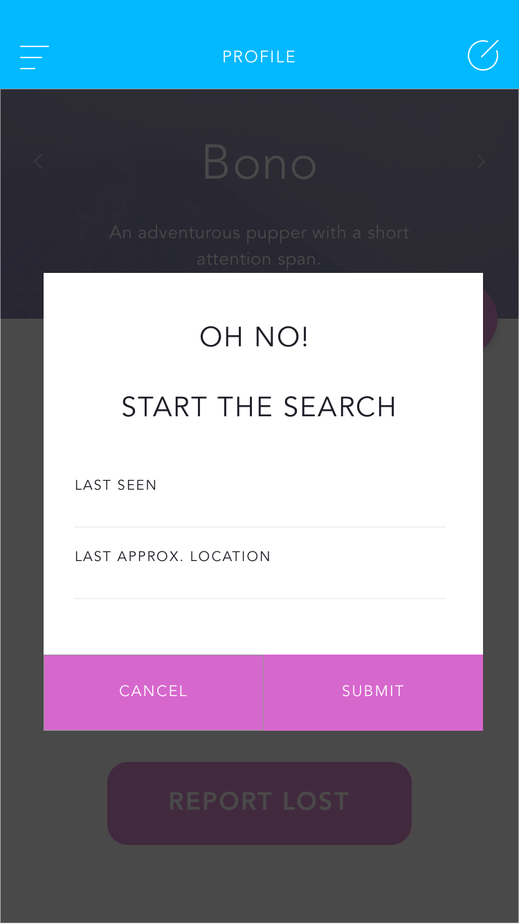
Abstract: Hackathoughts’s idea is to create an app that helps solve the problem of finding a lost pet. Using geographic data we want to create a smart search radius to help users find their pet. This search radius will be made using data about pet-speed, physical barriers (waterways, walls, buildings), elevation data, and other spatial and environmental constraints. ArcGIS Online has lots of useful data we can use, including current and archival road maps/traffic, parks and recreation info, and environmental features. The app also provides an alert system that the owner can subscribe to in order to receive information about lost pets. These alerts will be given when a users location is within the search radius of a lost animal. Project uses GeoEvent for real-time data report a lost pet or a sighting. New sightings of a pet cause the search radius to be redrawn. The project can help lessen the burden on animal control services and shelters while also saving owners from heartache.
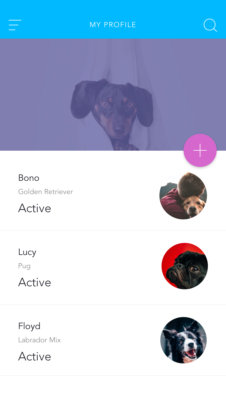
Where's Fido?
smart search zones to find our beloved pets


Updates

Leave feedback in the comments!
Log in or sign up for Devpost to join the conversation.