




Inspiration
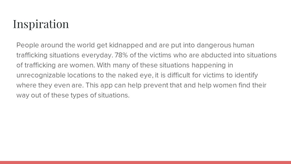
People around the world get kidnapped and are put into dangerous human trafficking situations every day. 78% of the victims who are abducted into situations of trafficking are women. With many of these situations happening in unrecognizable locations to the naked eye, it is difficult for victims to identify where they even are. This app can help prevent that and help women find their way out of these types of situations.
What it does
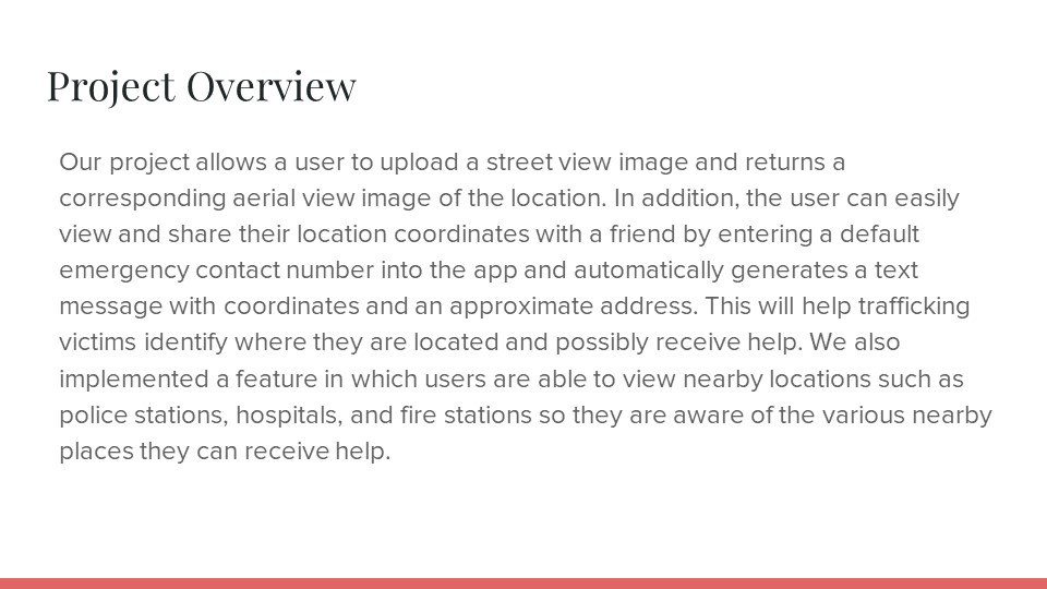
Our project allows a user to upload a street view image and returns a corresponding aerial view image of the location. In addition, the user can easily view and share their location coordinates with a friend by entering a default emergency contact number into the app and automatically generates a text message with coordinates and an approximate address. This will help trafficking victims identify where they are located and possibly receive help. We also implemented a feature in which users are able to view nearby locations such as police stations, hospitals, and fire stations so they are aware of the various nearby places they can receive help.
Technology Used
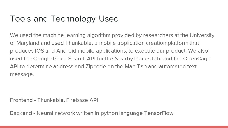
We used the machine learning algorithm provided by researchers at the University of Maryland and used Thunkable, a mobile application creation platform that produces IOS and Android mobile applications, to execute our product. We also used the Google Place Search API for the Nearby Places tab. and the OpenCage API to determine address and Zipcode on the Map Tab and automated text message.
Built With
- firebase
- google-places
- ml
- opencage
- python
- thunkable


Log in or sign up for Devpost to join the conversation.