Inspiration
My project was born from a pressing local issue: the increasing fragmentation of urban habitats. In my city, I observed how rapid urban development and concrete infrastructure frequently disrupt natural migratory paths, leading to increased human-wildlife conflict and a loss of biodiversity. I realized that traditional conservation methods are often too slow to react to these rapid environmental changes. I wanted to create a solution that works at the speed of modern city life—an ecological intelligence system that acts as a proactive guardian for local wildlife.
What it does
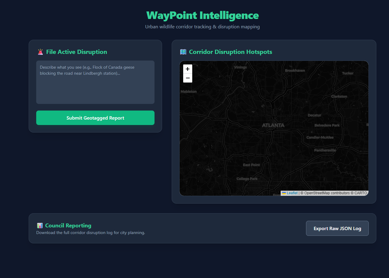
WayPoint App is an ecological intelligence system designed to protect urban biodiversity. It uses autonomous AI agents to:
- Monitor: Continuously scan and process telemetry data to map active wildlife migratory corridors.
- Orchestrate: When a potential conflict is detected, the system triggers dynamic, real-time workflows to alert local community members and conservationists, allowing for immediate, preventative action.
How I built it
I utilized a stack built for speed and spatial precision:
- Backend: Python for agent logic and Node.js for robust API management.
- Intelligence: LangChain and the OpenAI API to power my autonomous agents, enabling them to analyze complex environmental data.
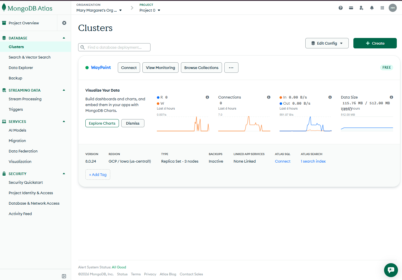
- Data/Mapping: MongoDB for efficient storage of spatial coordinate data and Mapbox for intuitive, real-time visualizations of migratory paths.
- Frontend: A responsive React dashboard for community interaction.
- Infrastructure: Docker to ensure containerized, scalable deployment.
Challenges I ran into
The primary challenge was managing the latency between AI detection and community alerts. Ensuring my agents could process spatial data in real-time without overwhelming the system required significant optimization in how I queried my database. Additionally, training my agents to distinguish between "normal" wildlife movement and "high-risk" interactions within a busy urban environment proved to be a complex, iterative process.
Accomplishments that I'm proud of
I am particularly proud of building an end-to-end pipeline that transforms raw environmental data into actionable, community-led conservation outcomes. Creating a system where AI serves as a "bridge" between technology and community-driven field work was a major win.
What I learned
I learned that technology is most effective when it empowers human action. I discovered that while AI is excellent at pattern recognition—such as predicting where a corridor will be blocked—the real impact happens when that data is put directly into the hands of community members who can physically intervene and protect these spaces.
What's next for WayPoint App
My goal is to expand the platform to support more regional datasets and to integrate satellite imagery for predictive "threat" analysis, allowing me to forecast potential corridor disruptions before they even occur.

Log in or sign up for Devpost to join the conversation.