
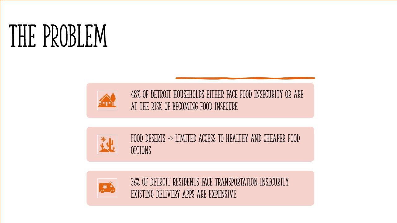
Inspiration
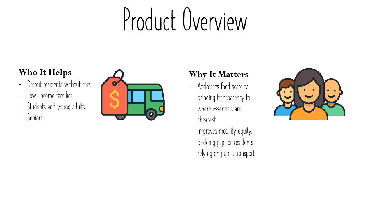
As students at Wayne State University, we experienced firsthand how difficult it can be to manage public transportation in Detroit and trying to figure out the most efficient way to get to a store often felt confusing. At the same time, we noticed the lack of affordable fresh food options within easy reach of campus and throughout populous areas of Detroit. This is what inspired us to create an app that not only shows you where to buy groceries, but also how to get there affordably and sustainably without relying on a car.
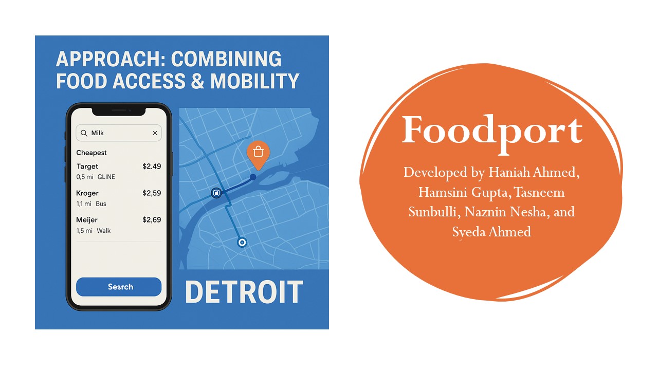
What it does
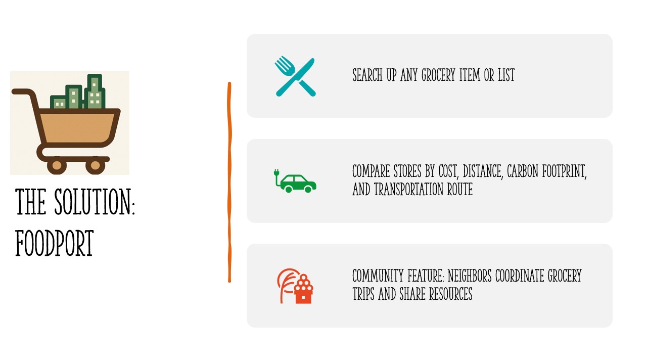
Our app helps Detroit residents and Wayne State students find affordable groceries and the best way to get there without a car. Users can enter their location and the grocery items they need. The app shows a list of nearby supermarkets (within a set radius) like Kroger, Aldi, Meijer, Target, and Whole Foods. For each store, the app estimates the cost of the grocery list or baseline prices for consistency across other stores. This makes it easy to see where food is cheapest. The app integrates with the Google Directions API and Detroit transit data (QLine, DDOT buses, MoGo bike share) to show multiple travel modes like walking, biking / MoGo rental, QLine streetcar, DDOT buses, Multimodal (e.g., walk + bike + bus). Results are ranked by a mix of price and travel time, helping users choose the option that works best for their budget and lifestyle. Each transport option also highlights cost, accessibility, safety, and environmental impact, so users can make informed, sustainable choices.
How we built it
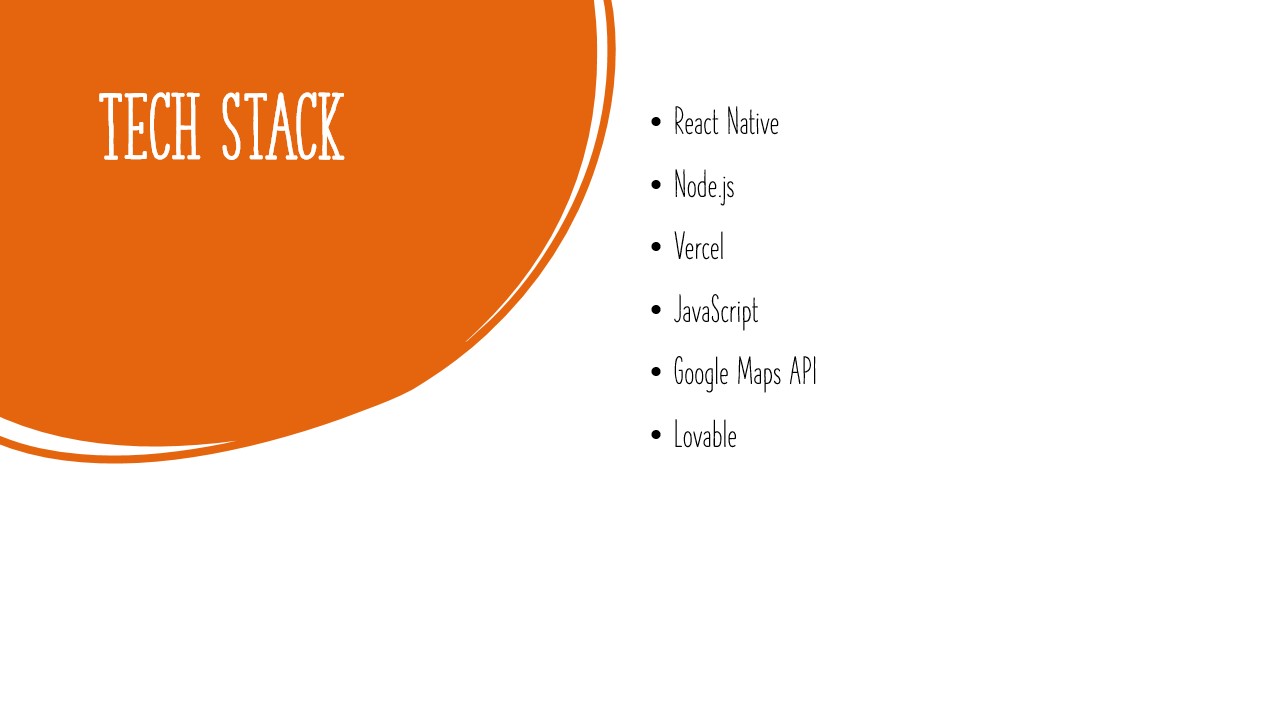
We used Frontend, React and Tailwind, to design a clean interface where users can search for grocery items. We displayed nearby stores with estimated costs and availability. We also built transport cards showing walking, biking, bus, QLine, and multimodal options. For the backend, we used Vercel and Node/TypeScript. We implemented code for the Google Places API to find stores within a chosen radius, but since we did not have access to the API key, we were unable to get the API running. We also integrated code for Kroger’s API for live product data where available; otherwise fell back to baseline pricing for consistency. Our results by a mix of cost and travel time, to reflect both affordability and accessibility.
Challenges we ran into
As students, we weren’t familiar with how DDOT, QLine, and MoGo connected, so translating that into user-friendly route cards was harder than expected. Only Kroger provided a developer API. For other stores, we had to design fallback systems with baseline prices so users could still compare options. Also, due to the time constraint, building all of this within a hackathon timeframe meant we had to prioritize modularity, making sure live APIs could be swapped in later.
Accomplishments that we're proud of
We came together as Wayne State students and collaborated to design, code, and present something meaningful in a short timeframe. As most of us are computer science majors, we’re proud that we didn’t just write code for the sake of it, we tackled a real problem in our community that we care deeply about. We learned to work with APIs like Google Maps and Kroger, gaining hands-on experience with technologies we hadn’t used before. And despite the challenges of transit complexity and price data limitations, we created a functional prototype that combines grocery affordability with transportation accessibility. Finally, we’re proud that our project reflects both our technical skills and our desire to make life better for Detroit residents.
What we learned
We learned how to integrate Google Maps APIs to combine store discovery with real-time transit options. We also learned why grocery pricing data is hard to access and often requires partnerships with retailers like InstaCart. We also realized how important it is to balance technical design with community needs, sometimes a simple baseline price system is more inclusive than partial live data.
What's next for Foodport
We plan to integrate real-time weather data so users can decide whether it makes sense to walk, bike, or take transit on a given day. For example, if it’s raining or snowing, the app could recommend bus/QLine options first. We would also like to expand beyond Google Directions, we want to pull real-time feeds directly from DDOT and QLine so users see accurate arrival times and delays. As the app grows, we’d like to add personalization, recommending favorite stores, tracking past trips, and tailoring options based on user preferences (cost, speed, or sustainability).


Log in or sign up for Devpost to join the conversation.