-
-
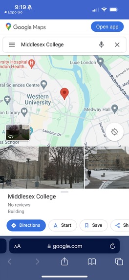
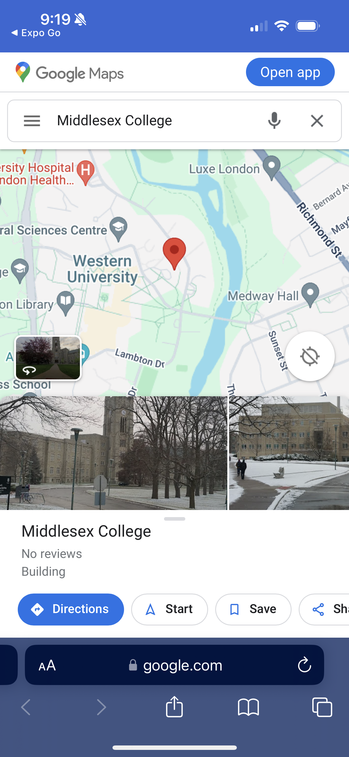
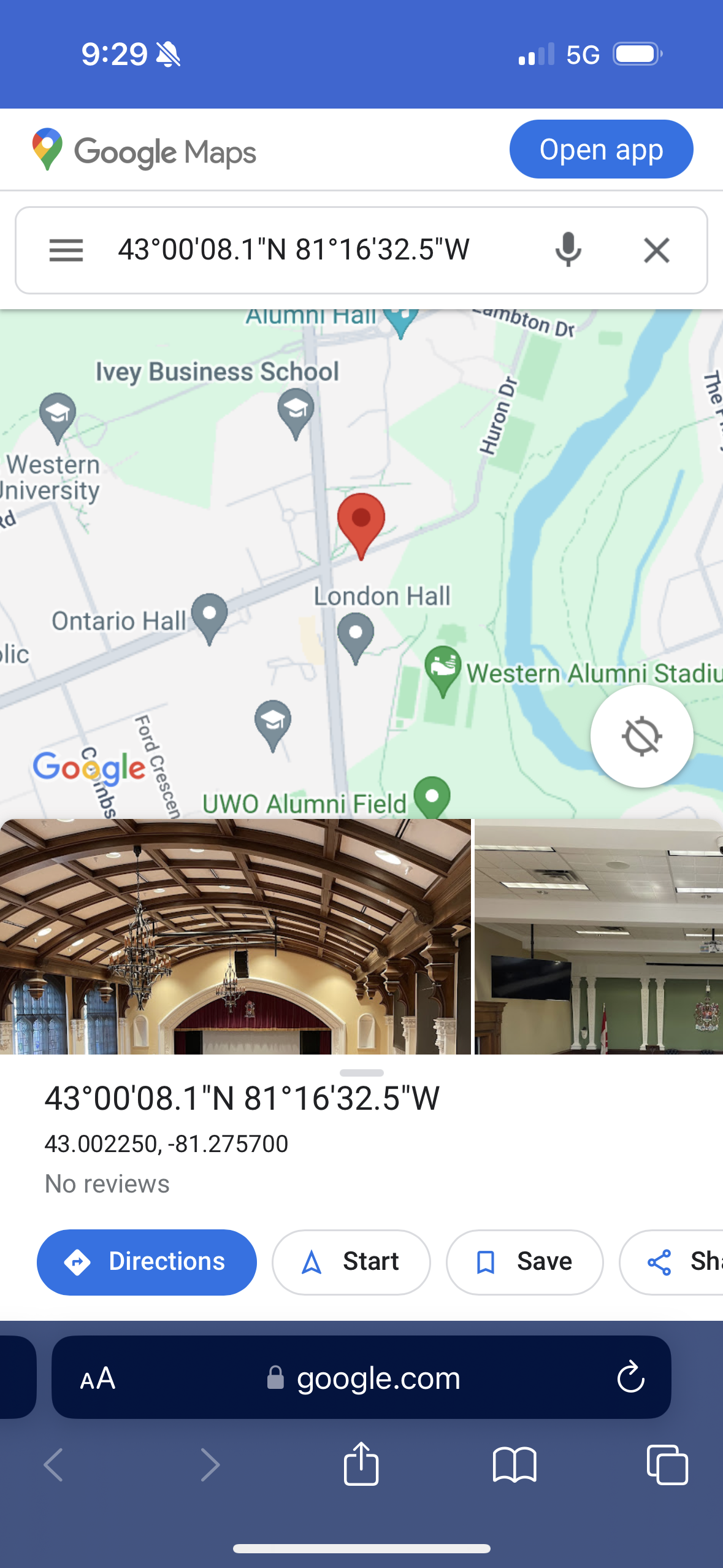
Detect the location of classes
-
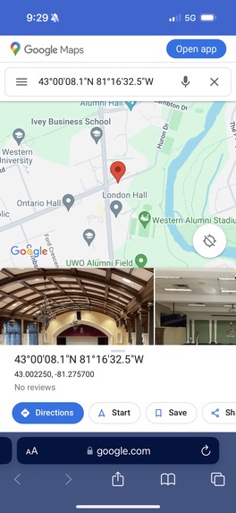
Share your exact location with loved ones in an emergency
-
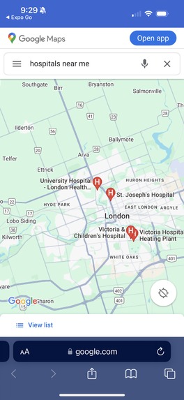
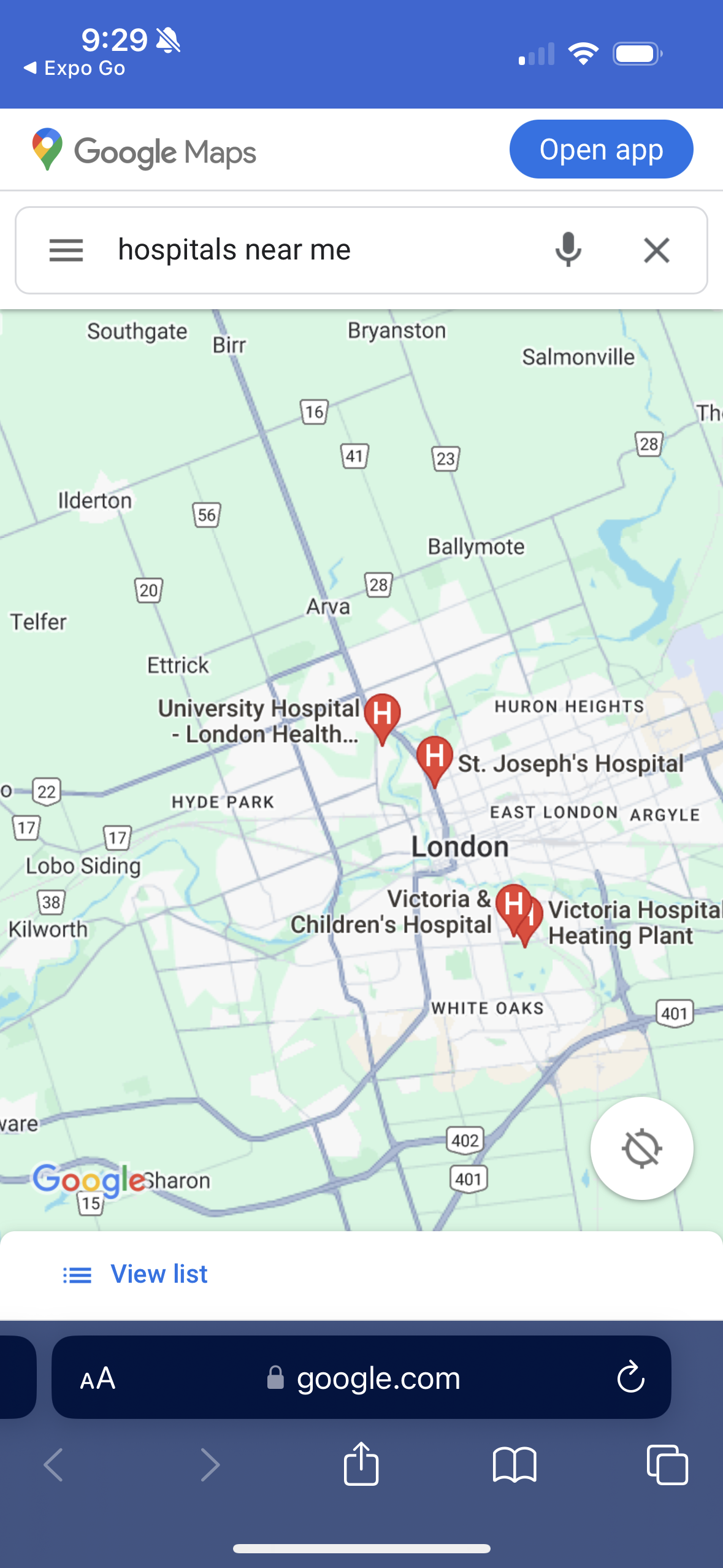
Detect hospitals nearby
Inspiration ✨
The idea of WayFinder was inspired by the pressing safety concerns on campus and the innovative potential of AI integration. When recognizing the escalating safety challenges students face on university campuses, we saw an opportunity to leverage technology as a proactive solution. The concern of safety became the focus of our project, motivating us to develop a tool that not only assists in navigation but also contributes to the overall safety and well-being of students. WayFinder aims to address these concerns by offering features such as safe route suggestions, emergency contact information, and real-time location sharing. WayFinder is not just a map; it's a dynamic campus companion, setting new standards in safety and convenience for students, faculty, and staff.
What it does 📲
WayFinder is an app designed to enhance safety, efficiency, and convenience in the campus environment for students, faculty, and staff at Western University. It is more than just a navigation tool; it's a comprehensive solution that embodies our three core principles: Safety, Time Efficiency, and Accuracy.
Effortless Car Location: Forget the hassle of remembering where you parked. WayFinder simplifies locating your car, making every journey to and from campus stress-free.
AI-Powered Assistance: Have questions? Get instant answers. Our app integrates AI to provide immediate responses to your queries, ranging from campus information to general assistance.
Timetable-Based Lecture Hall Navigation: Streamline your daily schedule with our smart navigation feature. WayFinder helps you find your lecture halls based on your personal timetable, ensuring you're always on time.
Western Foot Patrol Integration: Safety is just a click away. With easy access to the Western Foot Patrol service, users can request safe escorts to parking lots or dorms, enhancing personal security, especially during late hours.
Real-Time Location Sharing: Stay connected with your loved ones. Share your real-time location with friends and family for added safety and peace of mind.
Nearby Hospital Locator: In emergencies, every second counts. WayFinder provides quick access to nearby hospital locations, ensuring prompt medical attention when needed.
How we built it 💻
Embracing the adventurous theme of the hackathon, we embarked on an entirely new and daring challenge by using React Native and Expo Go. In a single night, were able to discover, learn and implement the start of our app with Expo Go and React Native coding, laying the foundation for our project. Task distribution became key as we split the team, with one group focused on leveraging Figma to design a user-friendly interface, while the other focus was into the intricacies of front-end web development coding using CSS and HTML. Additionally, we tackled the learning curve associated with incorporating an API and implementing AI for the Quick Question section of our code. This functionality allows users to swiftly access information in the event of an emergency, adding an innovative dimension to our project. Lastly, we harnessed the power of Google Maps to provide seamless navigation right at users' fingertips. This feature enables individuals to effortlessly locate the nearest hospital, find the specific locations of classes they inputted into the app, and even pinpoint where they parked their cars.
Challenges we ran into 🧩
One of the primary challenges we faced was the initial setup and installation of packages necessary for the Expo framework, as navigating Expo Go was initially complex. Adjustments in our code occasionally led to interruptions in the smooth functionality of the Expo Go app, presenting us with real-time problem-solving scenarios. Furthermore, integrating various components and features for users as well as ensuring seamless navigation between different screens in our app posed a significant challenge. The task of merging different classes and ensuring that the user could effortlessly navigate from one page to another required meticulous attention and precise coding and debugging. We would love to thank all the mentors who helped us and stayed behind to help debug the issues we ran into!
Accomplishments that we're proud of 🎉
We are very proud of leveraging built-in React Native function to send emergency alerts to people using the location (latitude and longitude) of the user's location. Additionally, incorporating an API and implementing AI for the Quick Question section of our code was a very interesting aspect of our application that we were very proud. Finally, our map integration is a source of pride as it offers location-based services, route planning, and navigation. These accomplishments collectively underscore our dedication to creating a robust and user-centric application for a variety of scenarios.
What we learned 🧠
Participating in SheHacks+8 provided us with a valuable opportunity to be introduced to Expo Go and React Native. This experience was important in enhancing our understanding of developing a functional app in less than 48 hours, especially given our minimal prior experience in this domain. Additionally, we were able to learn the integration of CSS within our .js files, a technique that none of us had previously explored. While we were familiar with implementing CSS in web development, applying it in the context of app development was a learning experience for us. This experience broadened our technical skills and provided us with valuable insights into the versatility and adaptability of CSS beyond traditional web applications.
What's next for WayFinder 🚀
In the future, we envision several exciting enhancements to further improve the functionality and user experience of WayFinder. Our focus will be on tailoring the app to meet individual user preferences more effectively, thereby offering a more personalized navigation experience.
Personalized Navigation Routes: One significant improvement involves integrating features that consider users' unique needs during navigation. For instance, for users with poor night vision, the app could suggest routes that are well-lit and safer to traverse during the night. This approach will ensure that each user's journey is not only efficient but also comfortable and secure.
Study Spot Integration: Another feature we are enthusiastic about adding is a dedicated 'Study Spot' function. This tool will not only help users locate study spots on campus but also provide live status updates, indicating whether these areas are currently occupied or available. Such real-time information will be invaluable for students seeking quiet and effective study environments.
Adaptive Street Views: We also plan to introduce a dynamic street view feature, which will adjust based on the time of day and weather conditions. The app will recommend the best possible routes, considering more factors such as visibility, traffic patterns, and weather-related safety. Whether it's a bright sunny day or a rainy evening, WayFinder will navigate users through the most suitable paths.
Image Recognition: We would like to use image recognition to read off a semester timetable from a given picture to streamline the efficient routes to get to classes.
Special Thanks 🌟
Thank you to the SheHacks+8 organizers and incredible sponsors for this wonderful experience! Shout out to all the mentors that helped make this possible :)
Built With
- css
- expogo
- figma
- html
- javascript
- openai
- react-native


Log in or sign up for Devpost to join the conversation.