-
-
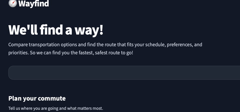
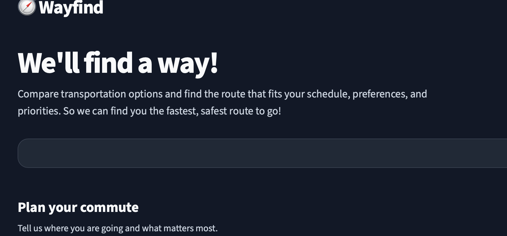
WayFind - We'll find a way!
-
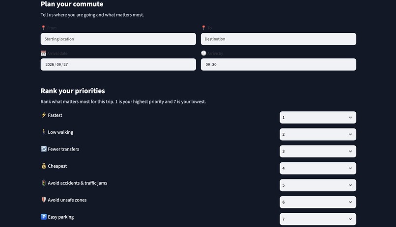
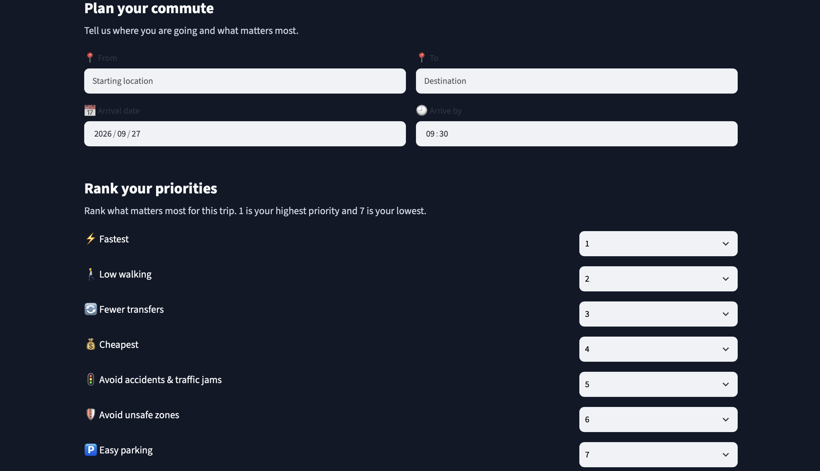
Allow WayFind to plan your commute by adding your personal preferences!
Inspiration
We took inspiration from some of the struggles we face with current GPS and navigation tools that while it tells you how to get somewhere, it doesn't provide the route that is best for you. We wanted to create a navigation tool that takes account of the user's preferences and provides a route that best matches them whether it be wanting to take a cheaper route or one with minimal walking. We also wanted to make decision making easier by having WayFind provide the tradeoffs of each route so the user can make the decsion that best suits them.
What it does
Wayfind is an AI-powered pathfinding tool that helps users find a transportation option that best fits their schedule and priorities. It uses route information and input provided by the user such as the user's current location, destination, arrival time, and transportation preferences. WayFind compares available route options, evaluates them according to the user's preferences, and presents the tradeoffs in an easy-to-understand interface, allowing users to compare and evaluate transportation options before making a decision.
How we built it
We built WayFind with streamlit and Python on VS code/GitHub codespaces. We also used Overleaf extension, Google Gemini API, OSRM HTTP server, Geocoding, Git, and powershell to generate the map and routes.
Challenges we ran into
We had trouble finding an API that could generate and map routes.
Accomplishments that we're proud of
We managed to integrate and configure overleaf, and OSRM HTTP server to the UI using powershell and VS code to establish the routing workflow and connect the necessary components for the project
What we learned
We gained experience working with APIs, geocoding, and routing data and integrating it together into one application.
What's next for WayFind
Future versions of WayFind could incorporate routes accessiblility preferences, weather conditions, public transportation schedules, etc.


Log in or sign up for Devpost to join the conversation.