-
-
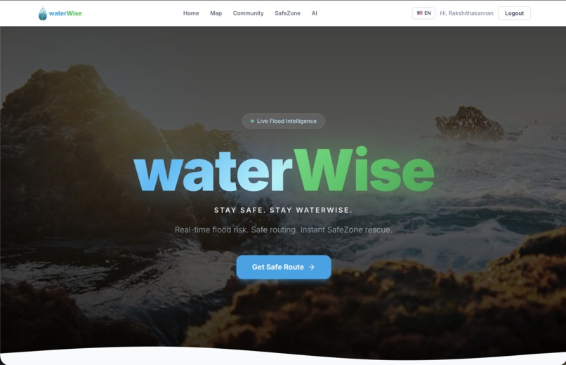
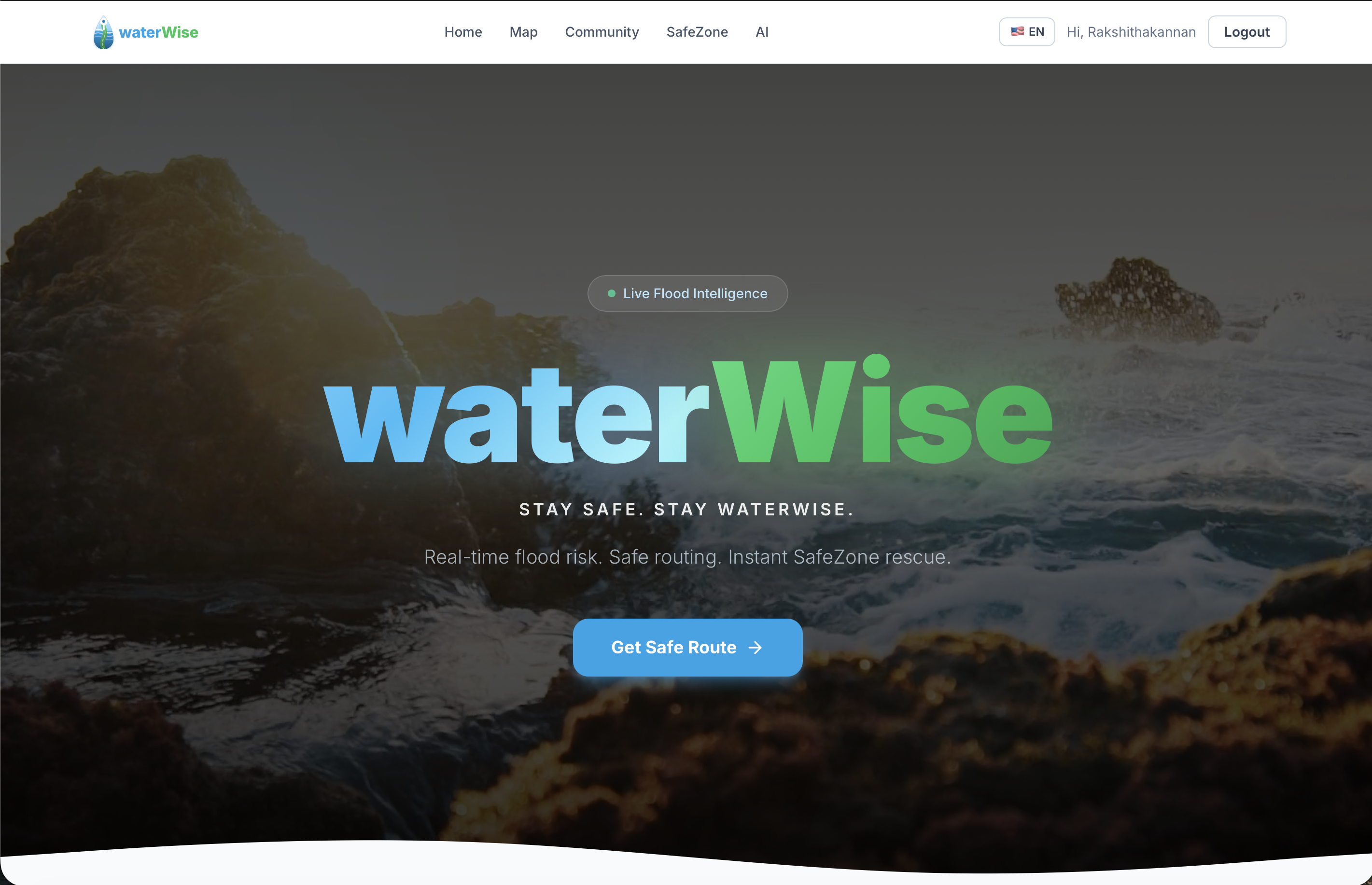
Our front page for our website!
Inspiration
Flooding is one of the most dangerous and unpredictable natural hazards in New Jersey, especially during storms, hurricane season, and spring snowmelt. Many drivers unknowingly enter flooded roads because they lack access to clear, real-time flood risk information. Existing tools show weather and traffic, but they don’t translate live environmental data into actionable safety guidance for drivers. We were inspired to build waterWise to bridge this gap, transforming complex flood and weather data into simple, real-time navigation decisions that help prevent dangerous situations and protect lives.
What it does
waterWise is a real-time flood-aware navigation platform that helps drivers avoid dangerous roads. It calculates a live flood risk score for any location and along entire routes using stream gauge levels, rainfall forecasts, and flood-risk zones. When risk is high, waterWise suggests safer alternative routes and directs users to the nearest hospitals or emergency shelters. The platform also includes an AI assistant that explains flood risk and provides safety guidance, along with a community safety board where users can share live hazard reports. waterWise turns environmental data into clear, actionable decisions for safer travel.
How we built it
We built waterWise as a full-stack web application using a modern, scalable architecture. The frontend was developed with interactive mapping and real-time UI updates to visualize routes and risk levels. The backend was built using Python and FastAPI to handle routing, geocoding, and risk scoring. We integrated live data from USGS stream gauges and National Weather Service precipitation forecasts to power our risk scoring algorithm. We designed a transparent, explainable scoring system that evaluates flood stage levels, rising water rates, rainfall probability, and geographic risk zones. We also integrated Google Gemini to power the AI assistant and implemented a community reporting system using secure authentication.
Challenges we ran into
One of the biggest challenges was integrating and synchronizing multiple live data sources, each with different formats, update frequencies, and reliability. We had to design efficient caching and fallback systems to ensure fast and consistent responses. Another challenge was building a risk scoring algorithm that was both accurate and explainable, while avoiding black-box models that lack transparency. Additionally, implementing real-time route analysis required optimizing performance so that every point along a route could be scored quickly without slowing down navigation.
Accomplishments that we're proud of
We are proud that we built a fully functional, real-time flood-aware navigation platform that integrates live environmental data and produces meaningful safety guidance. We successfully created a transparent risk scoring algorithm, real-time safe routing, emergency SafeZone detection, and an AI assistant that provides contextual safety advice. We also built a complete end-to-end system with frontend, backend, live APIs, authentication, and community reporting. Most importantly, we created a solution with real-world impact that could help prevent drivers from entering dangerous flood conditions.
What we learned
Through this project, we learned how to work with real-world environmental data and integrate multiple APIs into a cohesive system. We gained experience designing scalable backend services, optimizing performance for real-time applications, and building explainable algorithms. We also learned the importance of user trust, transparency, and clear communication when designing safety-critical systems. Additionally, we strengthened our skills in full-stack development, problem-solving, and collaborative system design.
What's next for waterWise
In the future, we plan to expand waterWise by incorporating additional real-time data sources such as road elevation, historical flood patterns, and drainage capacity. We also aim to develop a mobile app with push notifications to warn users before they approach dangerous areas. Machine learning models trained on real historical flood events could further improve prediction accuracy. Ultimately, our goal is to create a widely accessible platform that helps communities stay safe and make smarter decisions during severe weather.
Built With
- css
- fastapi
- geminiapi
- google-maps
- javascript
- nws-api
- python
- react
- sqlalchemy
- sqlite
- usgs-api

Log in or sign up for Devpost to join the conversation.