-
-
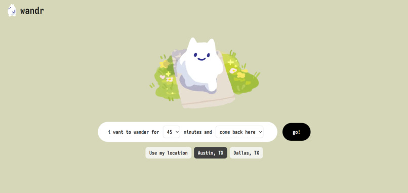
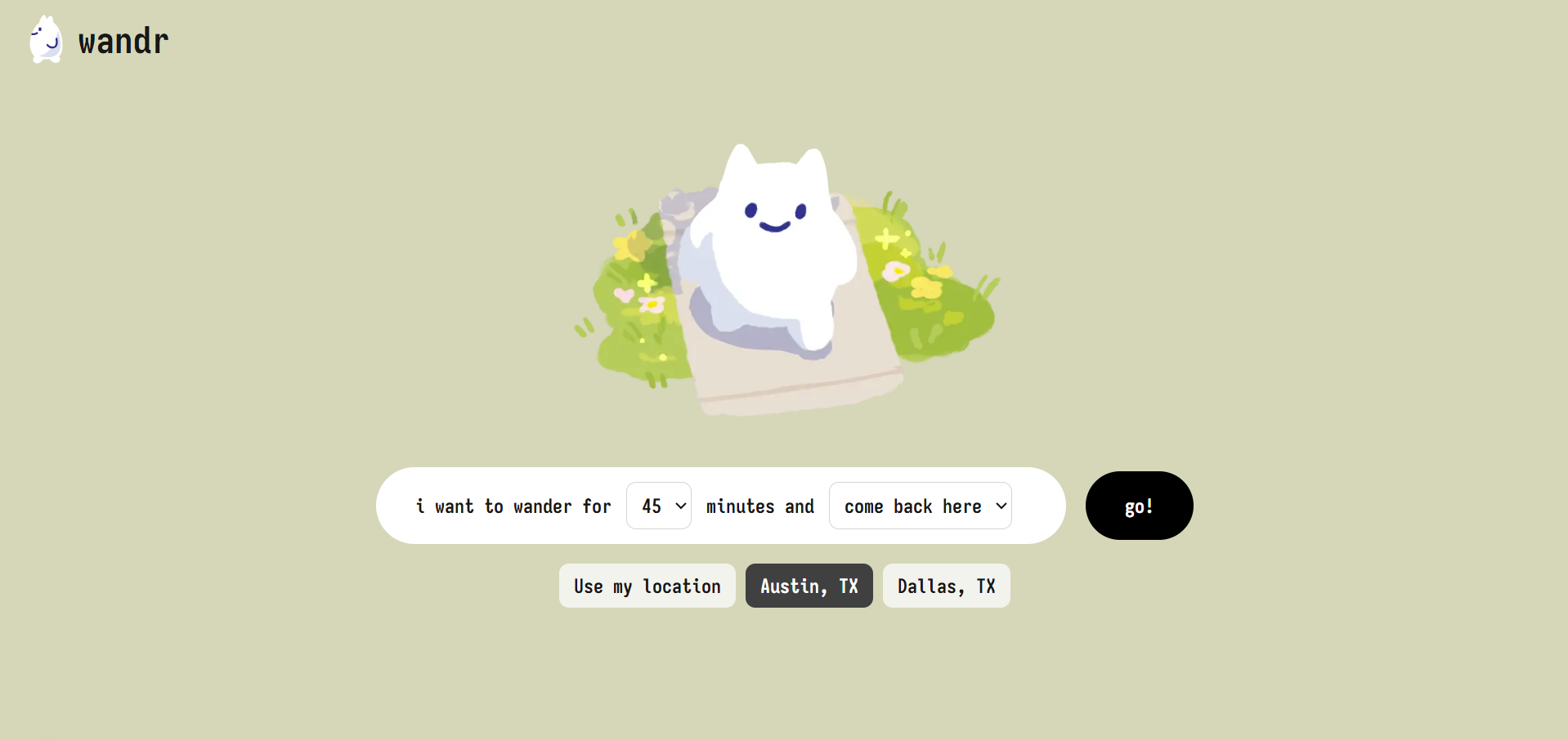
Home Screen
-
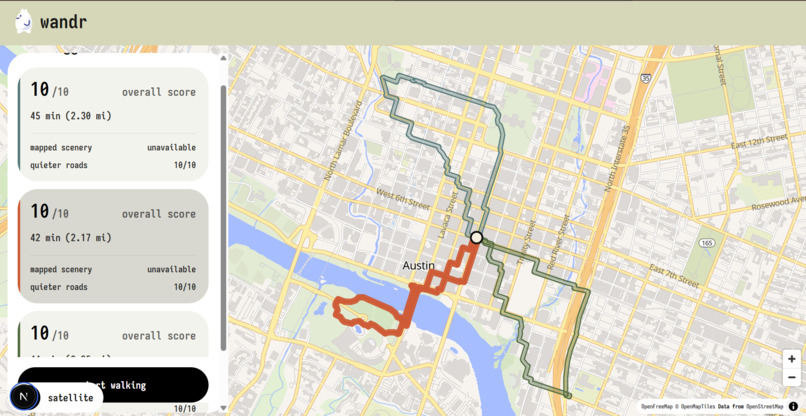
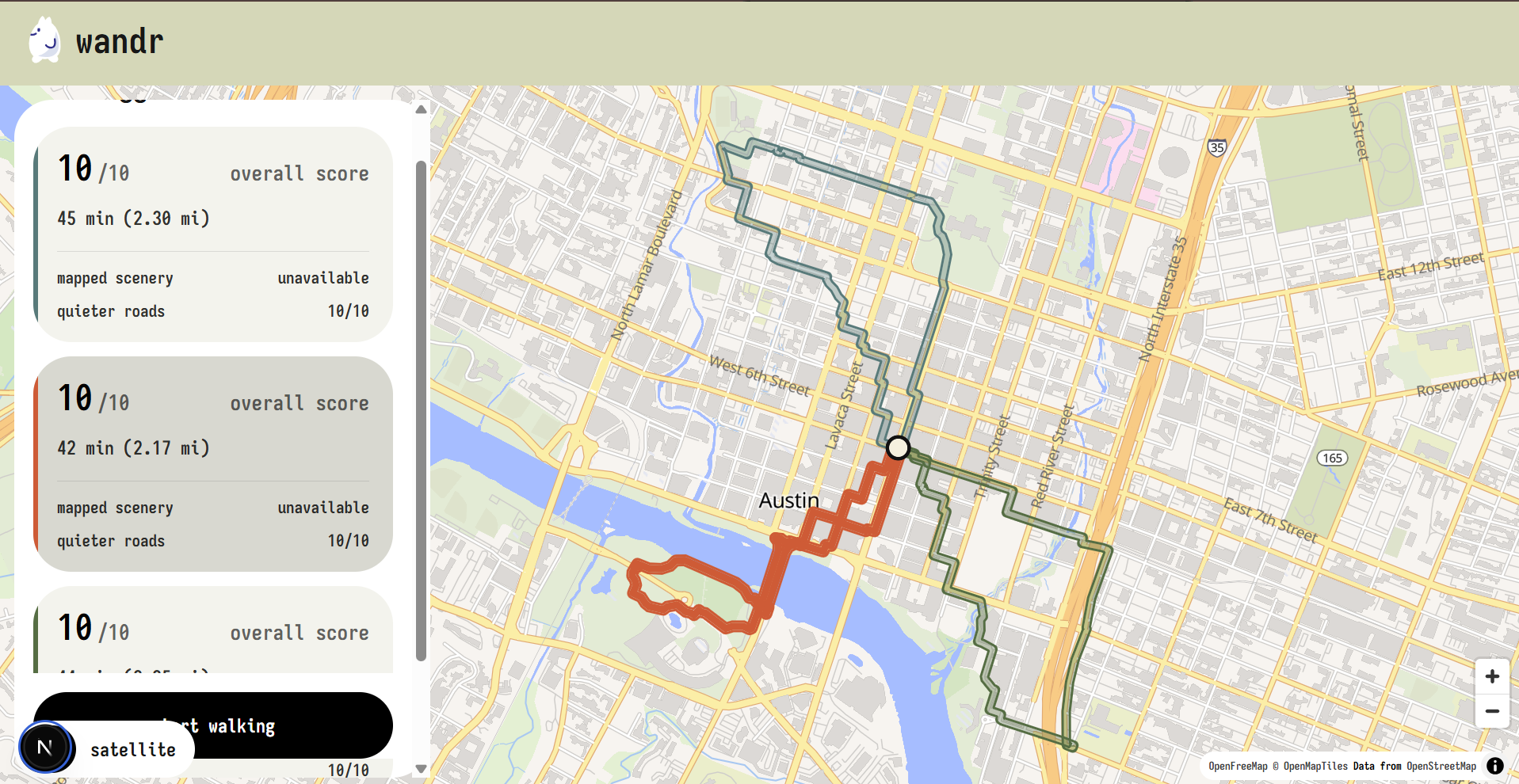
Austin Walking Route Example
-
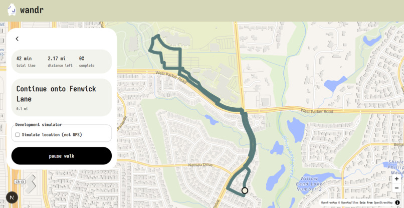
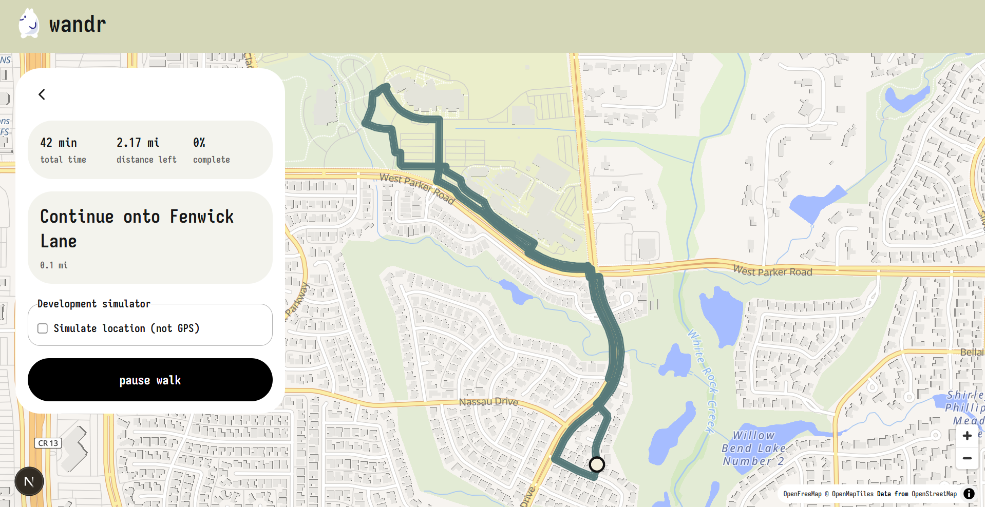
Directions
-
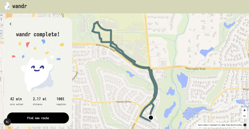
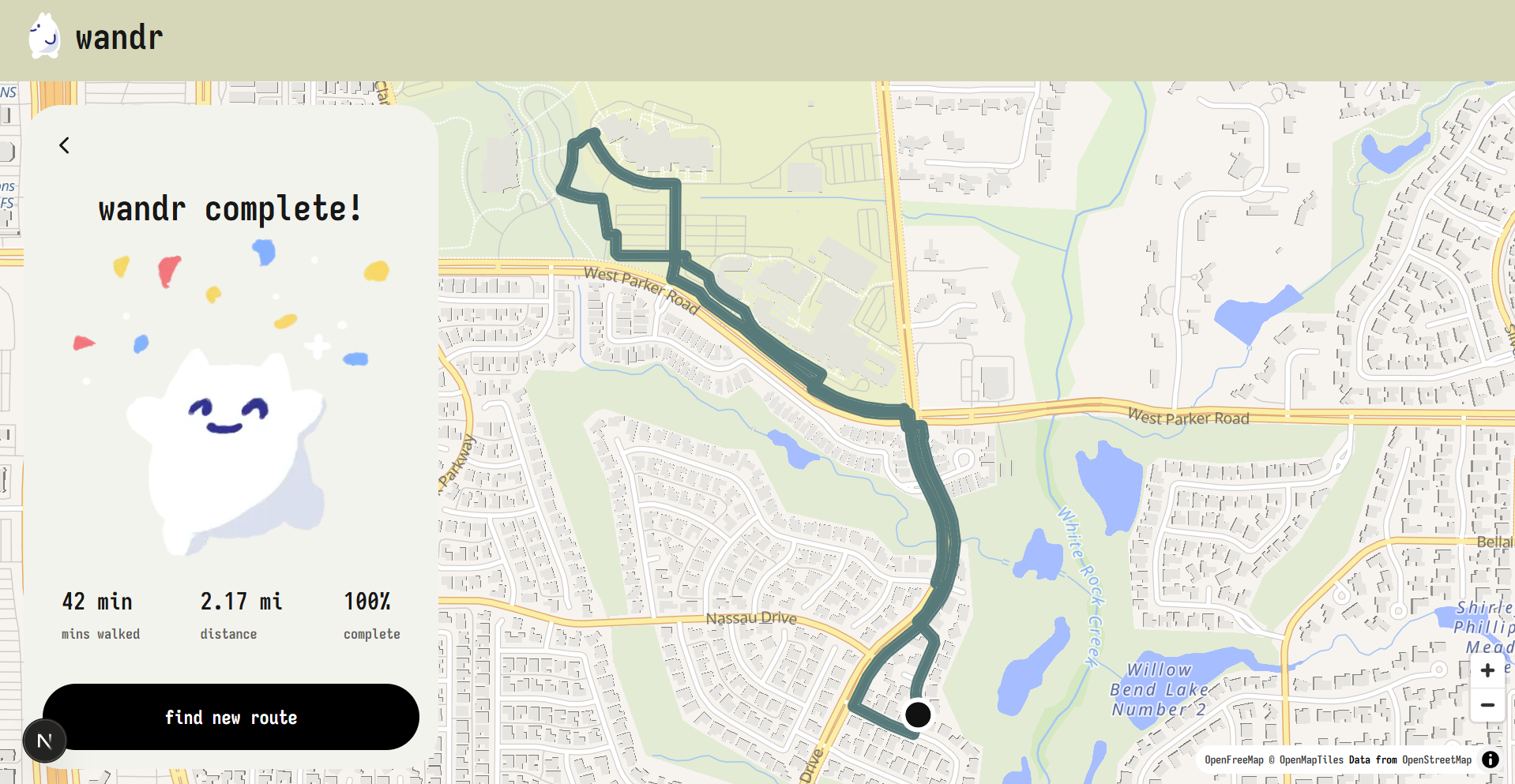
Completion Screen
Inspiration
We wanted to make it easier to discover pleasant walking routes without having to plan them by hand. Whether you're in a new city or just want to explore your own neighborhood, Wandr generates scenic walking routes based on how much time you have.
What it does
Based on your current location (or a preset city), you choose how long you want to walk—5, 10, 15, 20, 30, or 45 minutes—and Wandr generates several scenic routes within that radius. Each route is scored for scenery and low-traffic exposure so you can pick the path that fits your mood. You can choose a round-trip that returns to your start, or a point-to-point walk that ends at a specific destination.
How we built it
Wandr is a full-stack hackathon project with three layers:
- Frontend: Next.js 16 (App Router), React 19, Tailwind CSS 4, and MapLibre GL for interactive maps
- Backend: FastAPI (Python 3.11) that orchestrates routing requests and serves GeoJSON
- Routing Engine: GraphHopper 11.1 (Java) running on an OpenStreetMap Texas PBF extract, with custom scoring models that favor footpaths, parks, and quiet streets over highways The frontend collects your location, duration, and walk mode, then posts to the FastAPI backend. The backend queries GraphHopper for candidate routes, scores them for scenery and low-traffic exposure, and returns the top options to display on the map.
Challenges we ran into
- Simulating realistic walking routes that balance distance, time, and scenery
- Deciding how to define the walkable radius around a starting point
- Choosing between mapping all of Texas versus focusing on Dallas for the demo
- Designing API routes that pass coordinates, modes, and durations cleanly between frontend and backend
- Learning GraphHopper's custom weighting model and PBF import process
Accomplishments that we're proud of
- Functional route generation from start to finish
- Interactive map visualization with route selection and comparison
- Scenic route scoring that differentiates path options
- Our clean design and handdrawn assets
What we learned
- How to design and consume API routes between a Next.js frontend and FastAPI backend
- FastAPI fundamentals including request validation and async HTTP clients
- GraphHopper configuration, custom models, and OpenStreetMap PBF data imports
- Rendering geospatial route data with MapLibre GL
What's next for Wandr
More fun facts and scenic highlights along each route
- Expanded map coverage beyond Texas
- User accounts and saved favorite routes
- Seasonal and time-of-day route recommendations
Built With
- fastapi
- maplibre
- next.js
- node.js
- pydantic
- python
- python-dotenv
- react
- shapely
- tailwind
- typescript
- uvicorn


