-

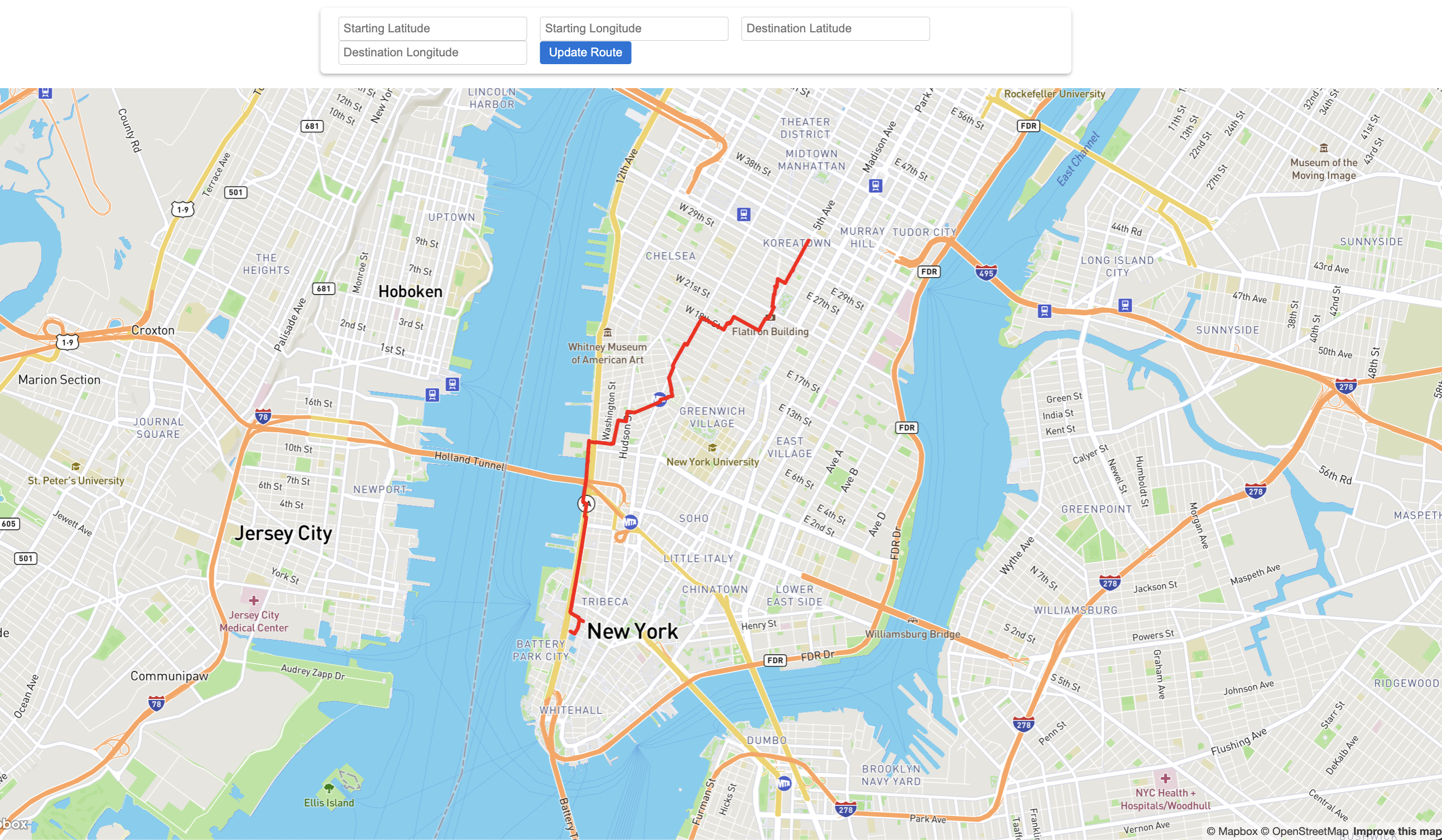
Scenic route from Empire State Building to World Trade Center
Inspiration
We love walking, but not everyone does so we wanted to find a way to make it more enjoyable as well as show more appreciation to the beautiful sights different cities have to offer!
What it does
WanderWays give you the most scenic route between two different locations, allowing the user to detour to landmarks, walk through gardens, and stroll past historical sights will still being efficient in terms of time.
How we built it
We used the Foursquare Places API to gather data on scenic spots within a certain boundary given the coordinates of that location. We then created a path finding algorithm that weighted how "scenic" a spot was along with how on the way or out of the way it was from the shortest path. Finally, we used Mapbox APIs to create an interactive map where the user can enter their starting location and ending destination and get a scenic path.
Challenges we ran into
One of the main challenges was identifying what makes a route "scenic." We had to analyze various factors to create a scoring system that accurately represents scenic quality.
What we learned
Through building WanderWays, we gained significant experience in front-end development, particularly in creating an intuitive and visually appealing user interface. We also learned how to work with various APIs that we hadn't seen before.

Log in or sign up for Devpost to join the conversation.