-
-

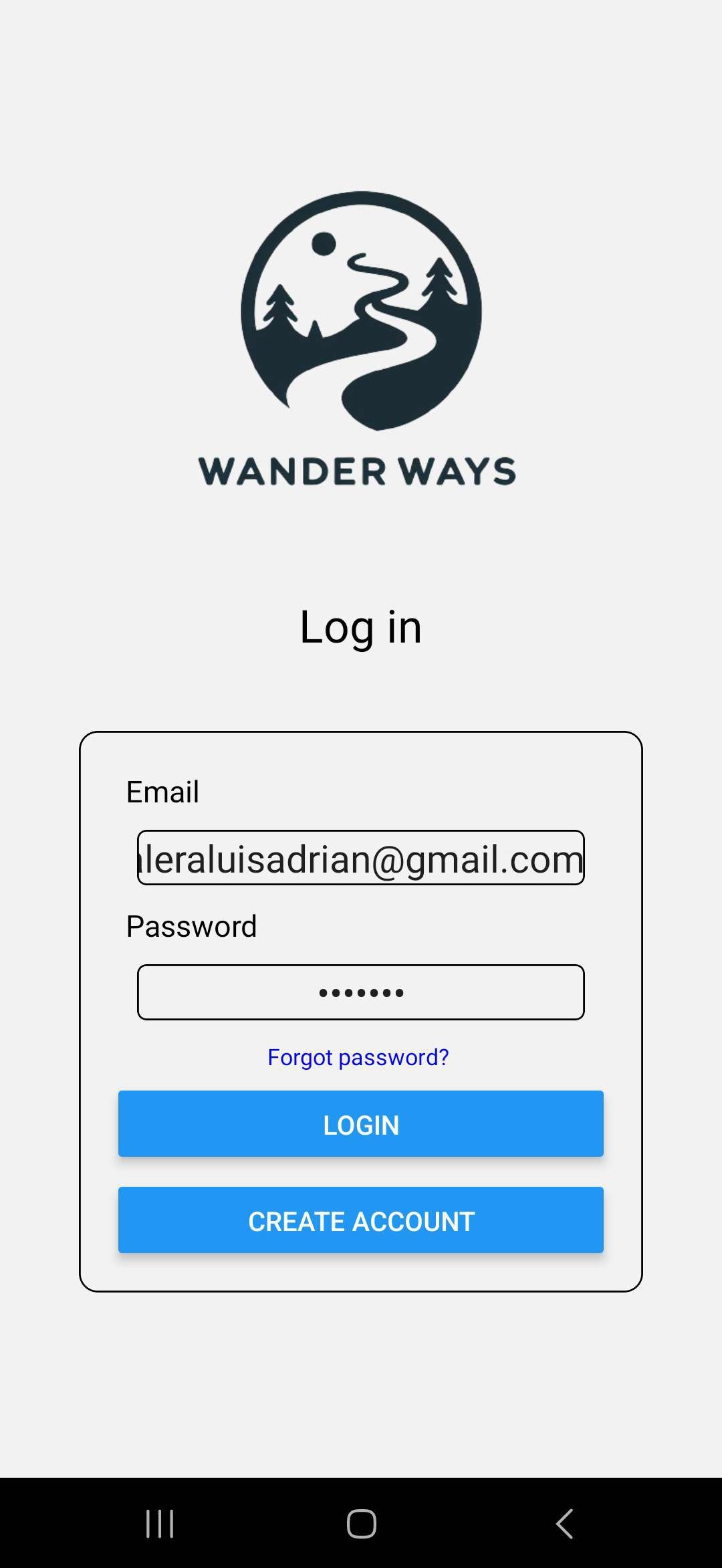
User login screen
-
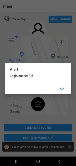
User confirmation login
-
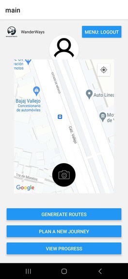
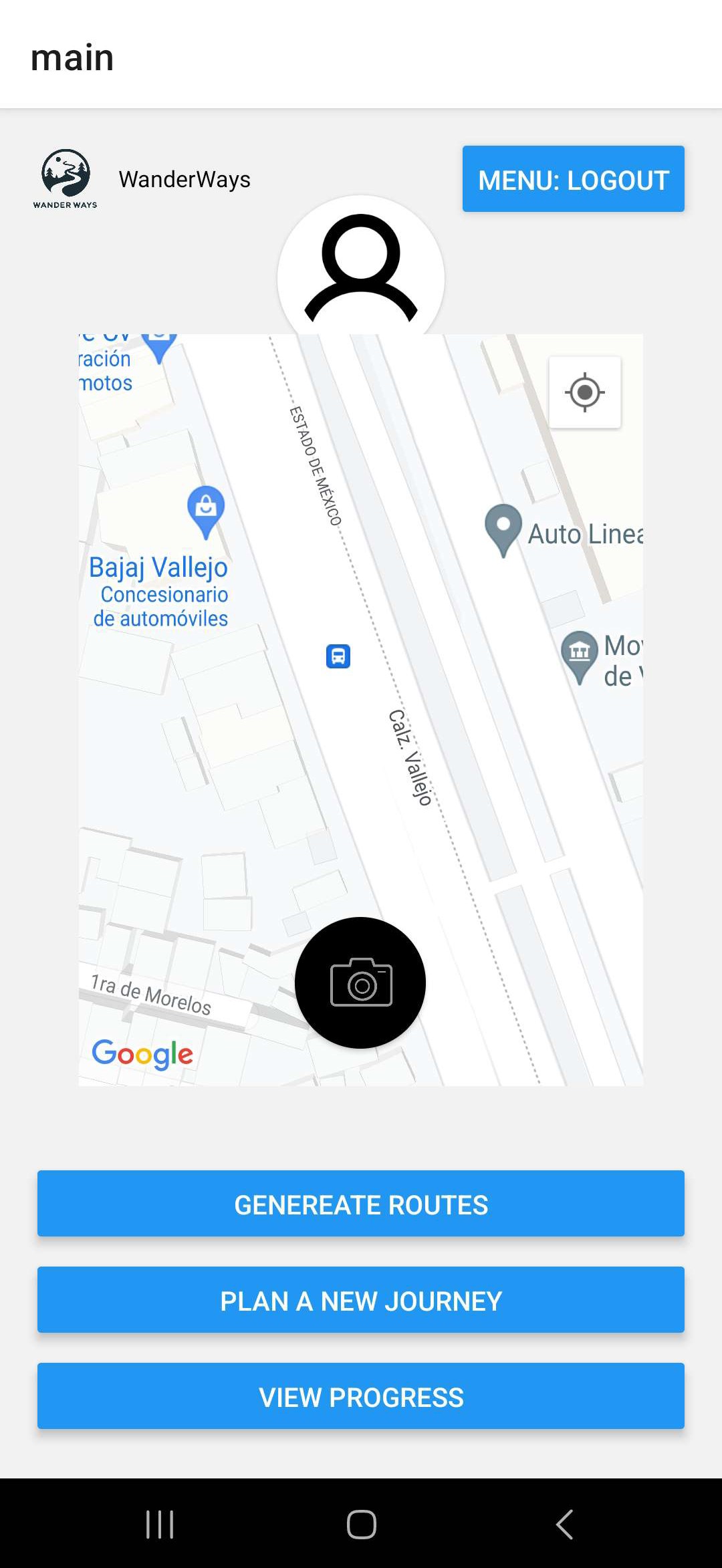
User Dashboard with map and actions they can do
-
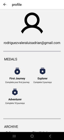
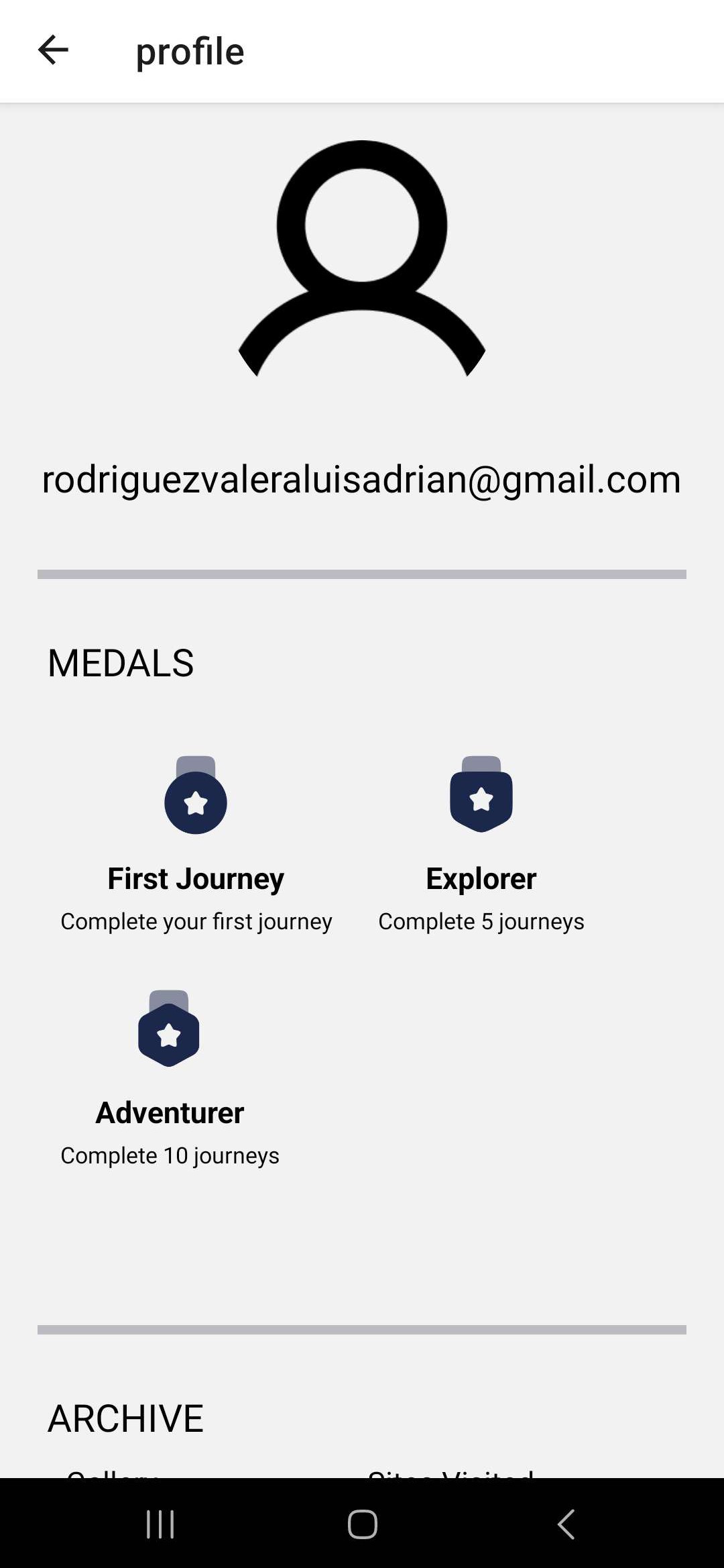
User profile with their medals and progress
-
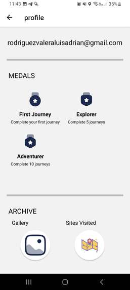
Gallery of pictures taken by the user and tourist sites they have visited


Inspiration
Inspired by the pokestops from the mobile game Pokémon Go. We decided that the concept can also be applied to tourist sites.
What it does
It registers with you geolocation and geotagged pictures that you take from the tourist sites that you have already visited or plan to, giving you medals by completing the challenges that the app gives you and showing you the percentage of the world that you have visited.
How we built it
We used the react-native framework for the front-end for the login, routes and user dashboard for their progress, firebase as a back-end for the geotagged pictures for confirmation of the visited tourist sites, giving the geolocalization service given by Google Maps to show you the route to those sites and also giving you new routes for new ones.
Challenges we ran into
Learning how to develop mobile apps with new technologies, coordination of us as a team and the roles we were assigned to each other as the project progressed.
Accomplishments that we're proud of
Learn and apply new technologies like react-native, flask, firebase and Google Maps at the time of this hackathon.
What we learned
How to improve our abilities for planning and also when assigning roles to each member. Also, learning how to learn new frameworks to work with as we were doing this project.
What's next for Wander Ways
Creating a server and an api system that would work out with a sqlite database and Google Maps Platforms services, also add new features where users can see the progress of other users and add new tourist sites


Log in or sign up for Devpost to join the conversation.