-

WalkSafe Cover Page
-

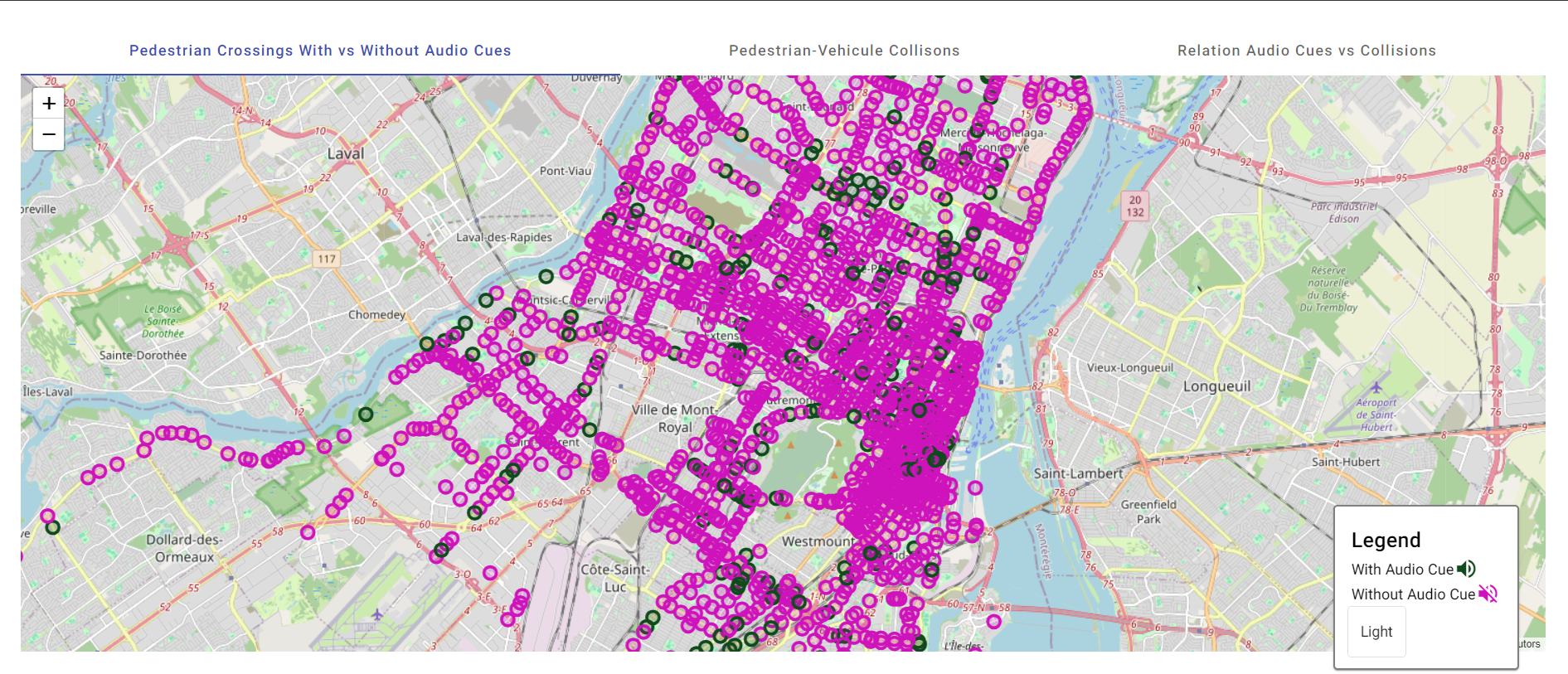
Pedestrian crossings with vs without audio cues
-
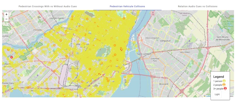
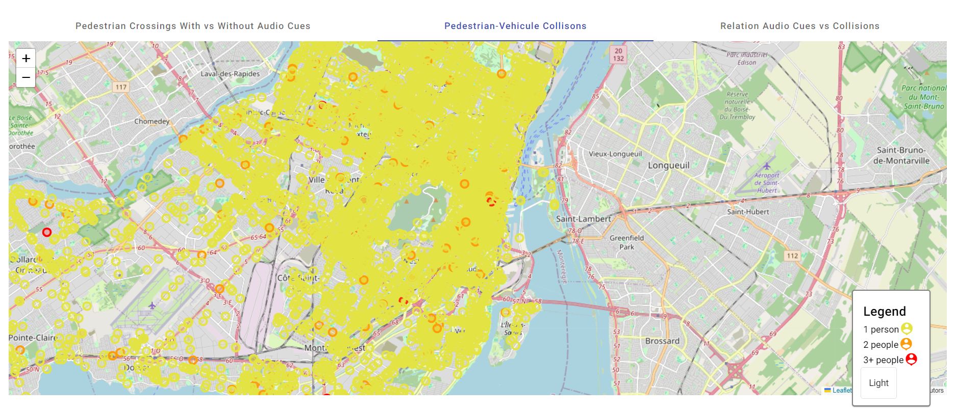
Pedestrian-vehicle collisions
-
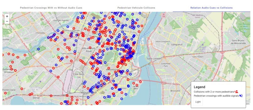
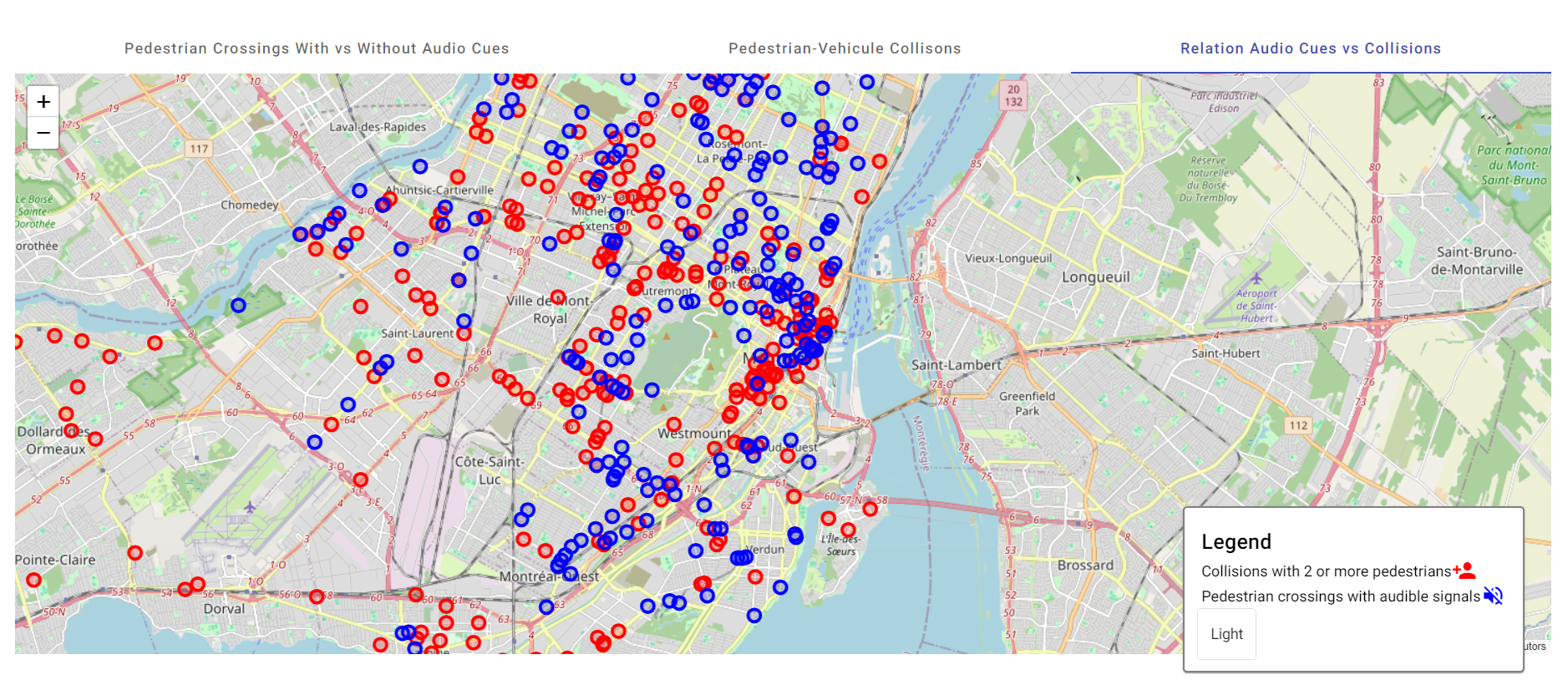
Relationship between the first two maps
Inspiration
We were inspired by the global Vision Zero plan who's objective is to reduce serious road injuries and deaths. In the City of Montreal, we want to help the vulnerable and with this idea we hope to tackle the road safety issues.
What it does
This data visualization allows you to see the map of Montreal and the different relationships which can be analysed such as the Pedestrian Crossing With vs Without Audio Cues, Pedestrian-Vehicle Collisions and with further analysis the relationship between these two maps for any correlation.
How we built it
We used Angular for the front-end and this allows us we can switch between maps, and we used Python for the backend.
Challenges we ran into
One team member's computer's operating system wasn't compatible with the stack we were using. We overcame that by using that computer for research and we did pair programming.
Accomplishments that we're proud of
We are proud to have completed a project withing the deadline, that can be used to improve the safety of pedestrians in Montreal, especially vulnerable people.
What we learned
We learned how to format the data into data points, and add them into a map. We also learned how to link a python backend to an Angular frontend. We learned how to make those compatible, and then generate the maps and be able to access them from the frontend.
What's next for WalkSafe
We can continue to research and help improve the Vision Plan for the city of Montreal which aims to reduce the number of deaths and injuries caused by the road. We plan to do that by adding a tool into the website to save the data results that data analysts would want, and export it. They would be able to save the data itself, or the maps, to be able to use that visual representation of the data elsewhere. With those results, they would be able to also use the data however they would like, such as graphing.
Built With
- angular.js
- canva
- flask
- folium
- github
- html
- montrealopendataportal
- pandas
- python
- quebecdatapartnership
- scss
- typescript


Log in or sign up for Devpost to join the conversation.