Inspiration
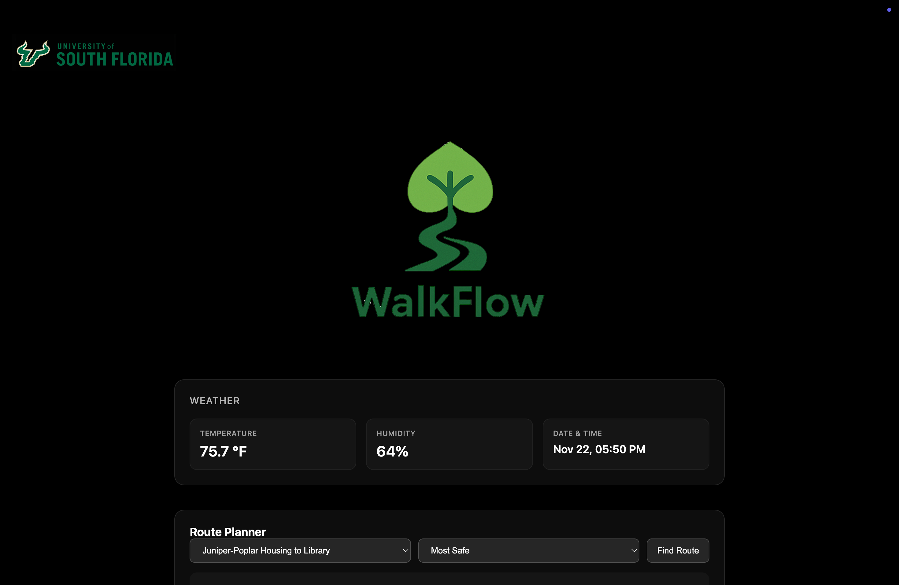
Walking across a Florida campus shouldn’t feel like a survival challenge — but it often does. Students face intense heat, inconsistent shade, long walking distances, and unsafe roadside paths. Traditional map apps only optimize for distance, not comfort or safety. We wanted to rethink campus navigation from a human-centered, pedestrian-first perspective. That’s how WalkFlow was born: an app that shows the most efficient, most comfortable, and most safe walking routes between major campus locations.
How We built it
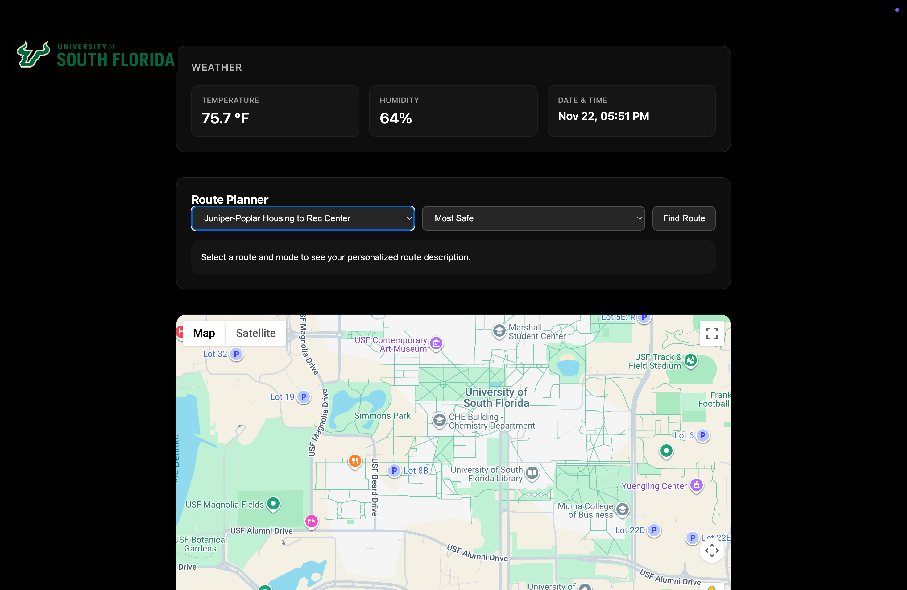
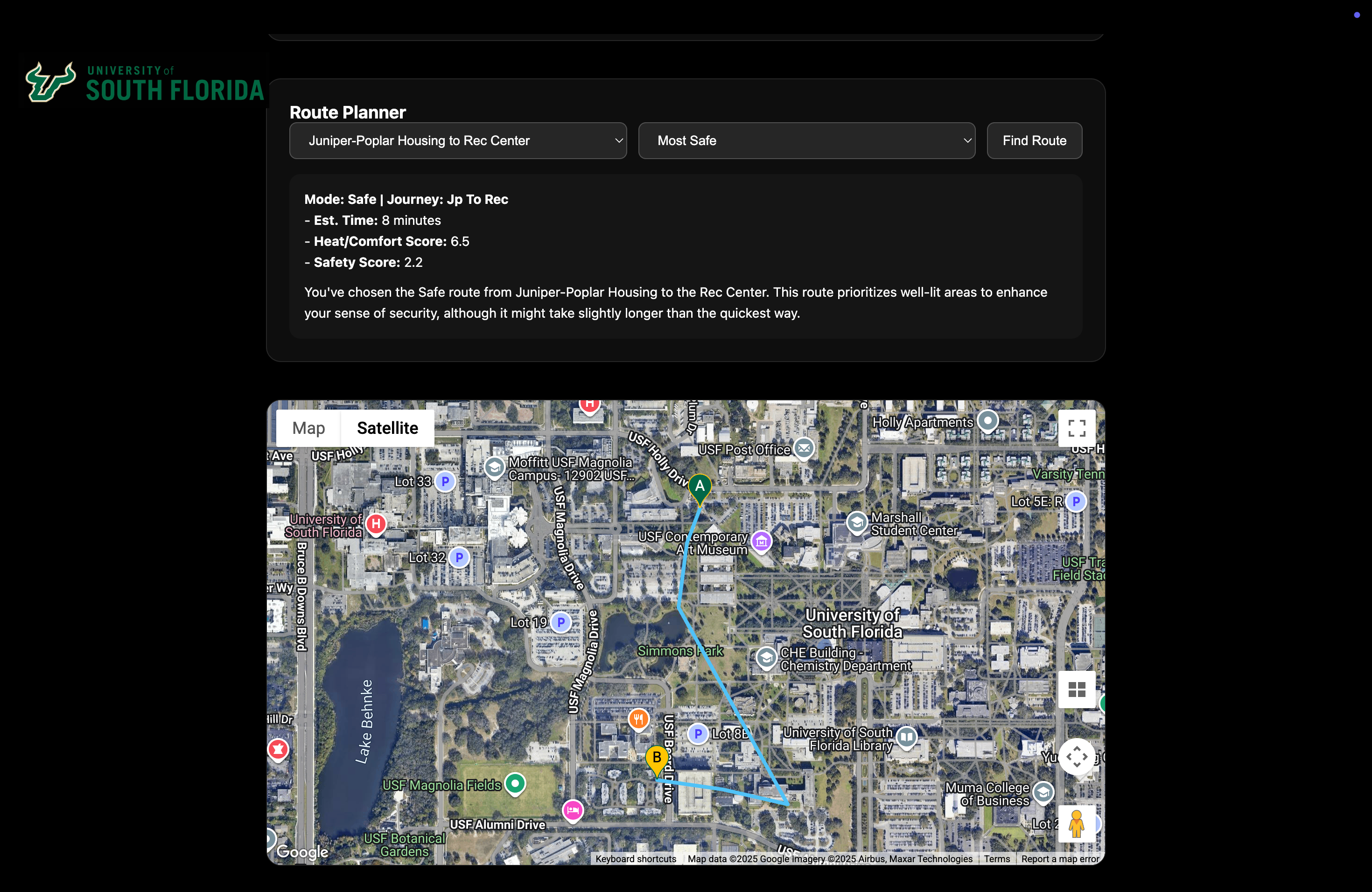
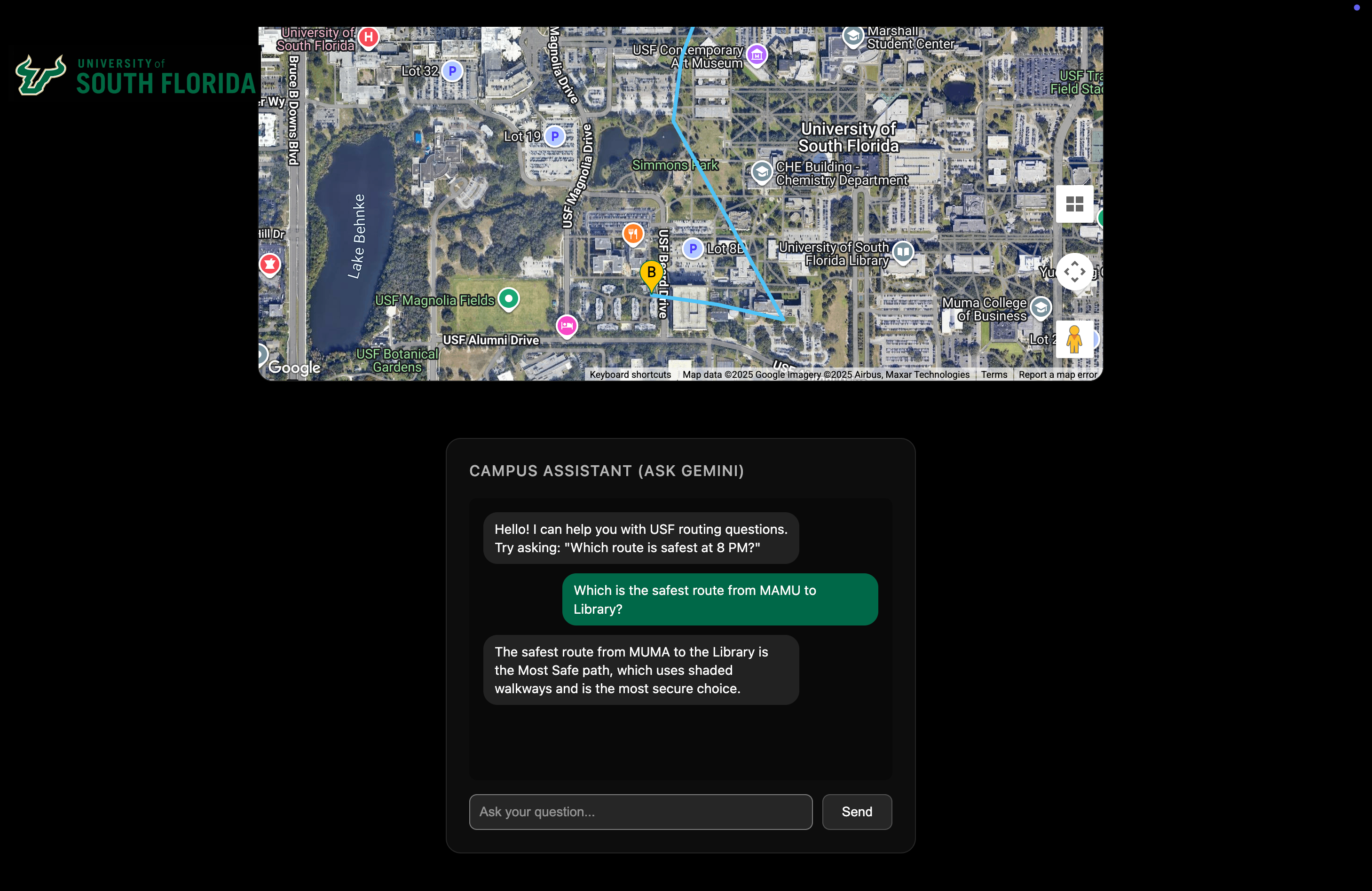
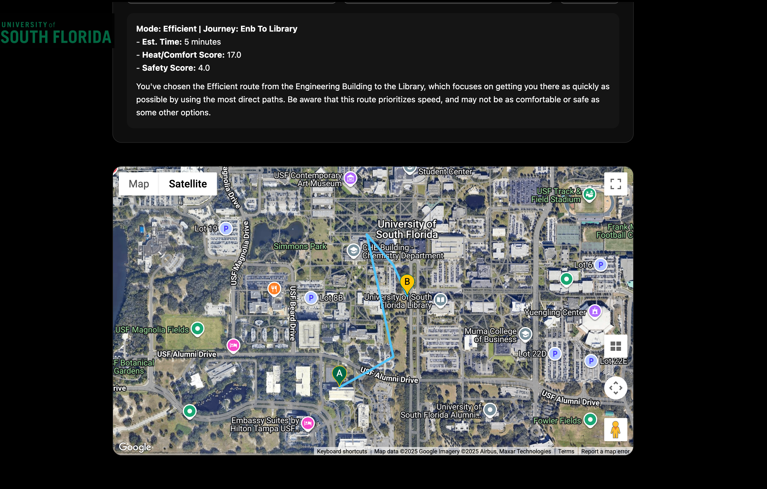
WalkFlow is a lightweight routing engine that doesn’t just consider distance — it evaluates: 🌡️ Heat exposure using shade scoring and sun-exposed paths 🌳 Comfort through canopy coverage and building shadows 🚸 Safety based on roadway adjacency, conflict points, and pedestrian separation ⏱️ Efficiency through distance and path directness We created a custom scoring system combining these variables and built a JSON-based routing dataset for high-traffic campus routes. WalkFlow filters unsafe routes and recommends safer alternatives, even if they’re longer or cooler — prioritizing human wellbeing over raw speed.
Challenges we ran into
-We had no available dataset for shade, comfort, or risk — so we had to create our own scoring logic from scratch. -Time pressure forced us to focus on clarity over complexity. -Balancing safety vs efficiency in routing required thoughtful weighting. -Visualizing multiple paths on a small map without clutter was surprisingly hard. -Ensuring the app communicated why a route was safer or cooler in a single sentence.
Accomplishments that we're proud of
-Built a fully functional routing engine in under 6 hours. -Created a custom scoring model for efficiency, comfort (shade), and safety. -Implemented unsafe-route detection with automatic safer alternatives. -Mapped and visualized real high-traffic USF walking routes students actually use. -Combined civil engineering safety analysis with routing logic to make a human-centered navigation tool.
What we learned
-We had no available dataset for shade, comfort, or risk — so we had to create our own scoring logic from scratch. -Time pressure forced us to focus on clarity over complexity. -Balancing safety vs efficiency in routing required thoughtful weighting. -Visualizing multiple paths on a small map without clutter was surprisingly hard. -Ensuring the app communicated why a route was safer or cooler in a single sentence.

Log in or sign up for Devpost to join the conversation.