-
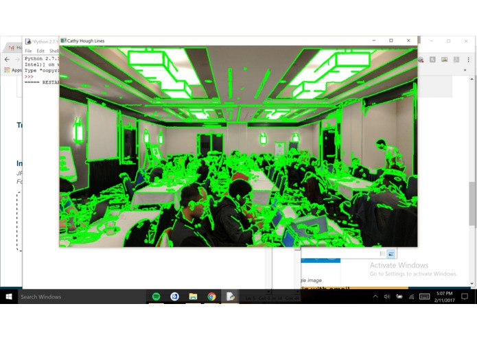
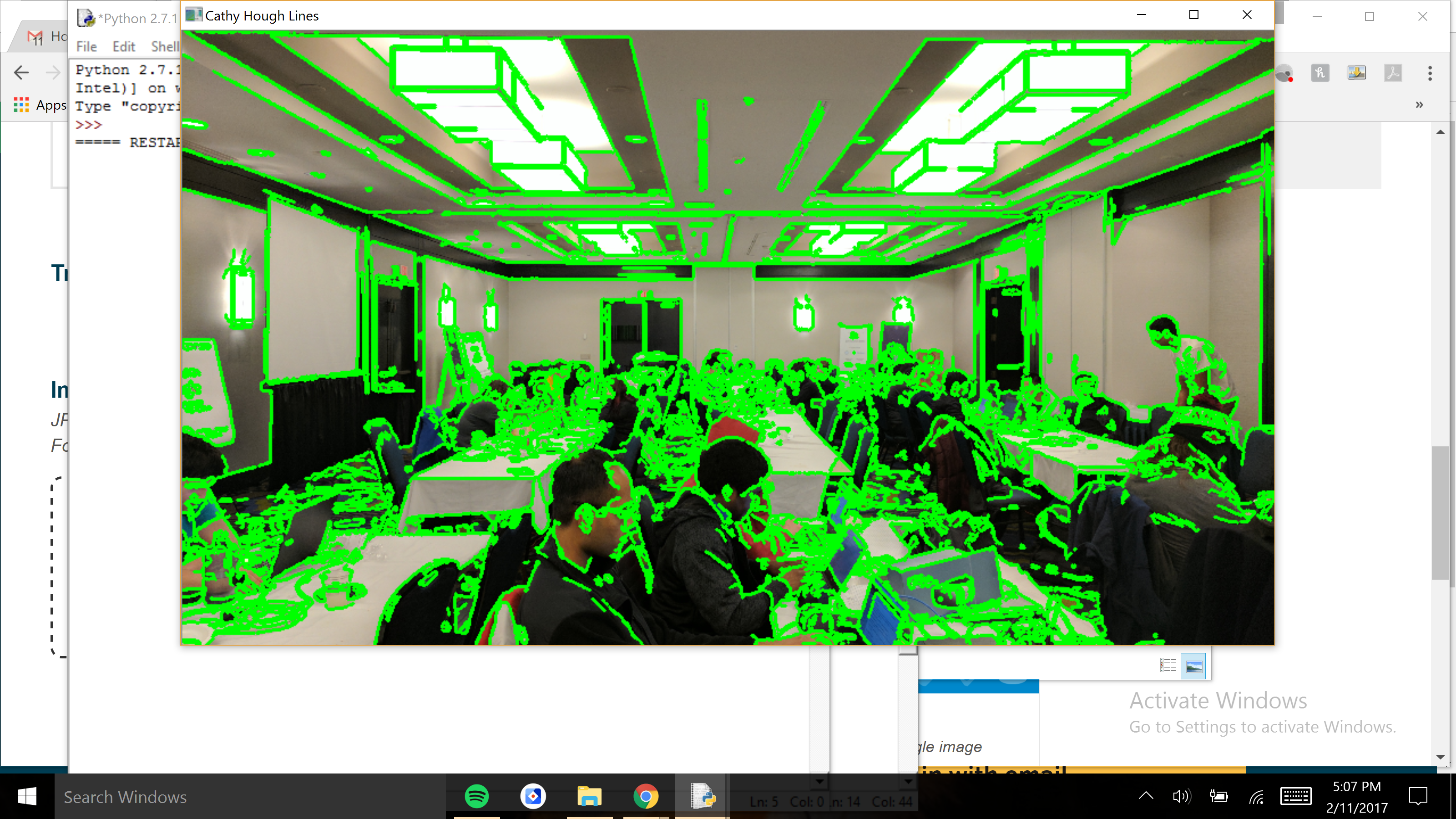
Hough line detection
Inspiration
What it does
How we built it
Challenges we ran into
Accomplishments that we're proud of
What we learned
What's next for VR Penn State
Instead of using LIDAR and Stereo Cameras, we thought it would be simpler and cheaper to just use one 2D image to map a 3D region. We implemented this by clicking a picture and performing edge and depth detection and then viewing the 3D model in a VR headset.
Log in or sign up for Devpost to join the conversation.