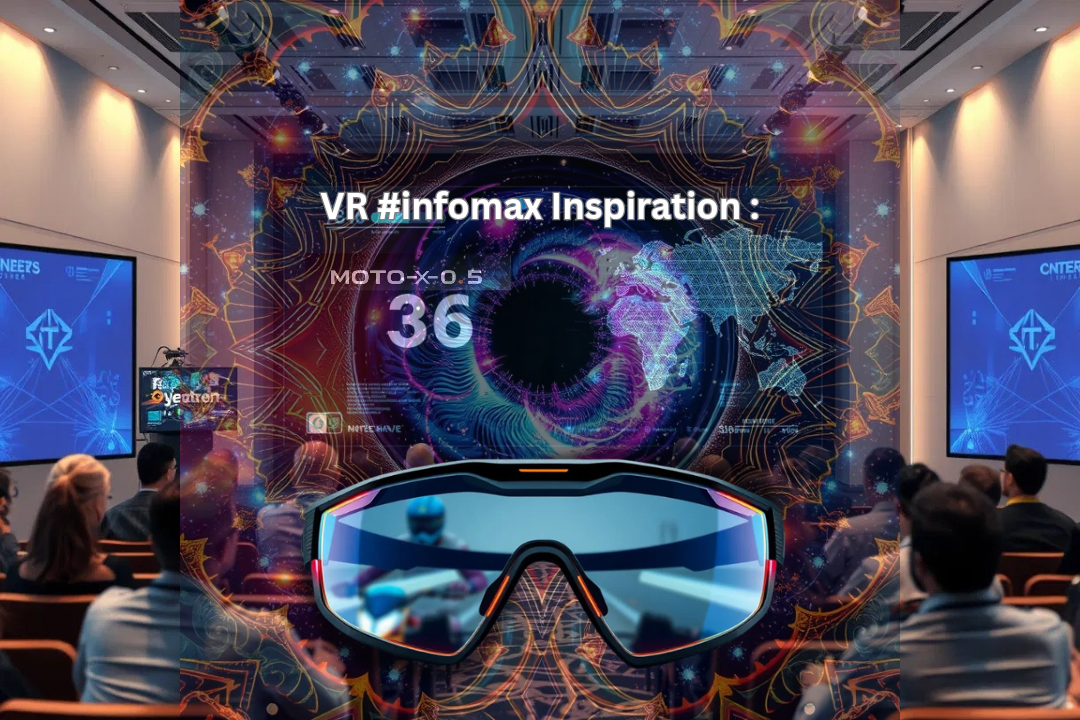


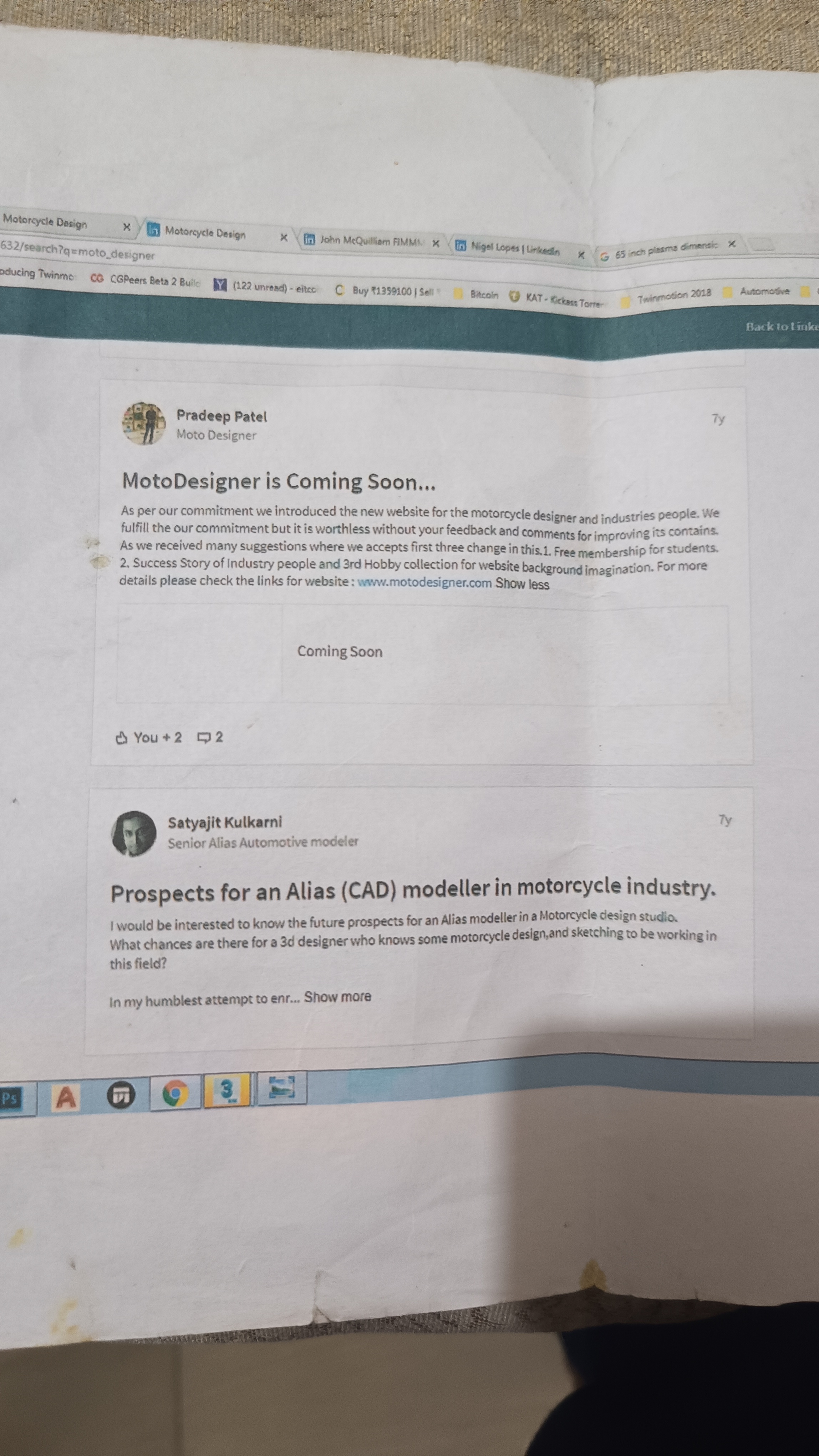


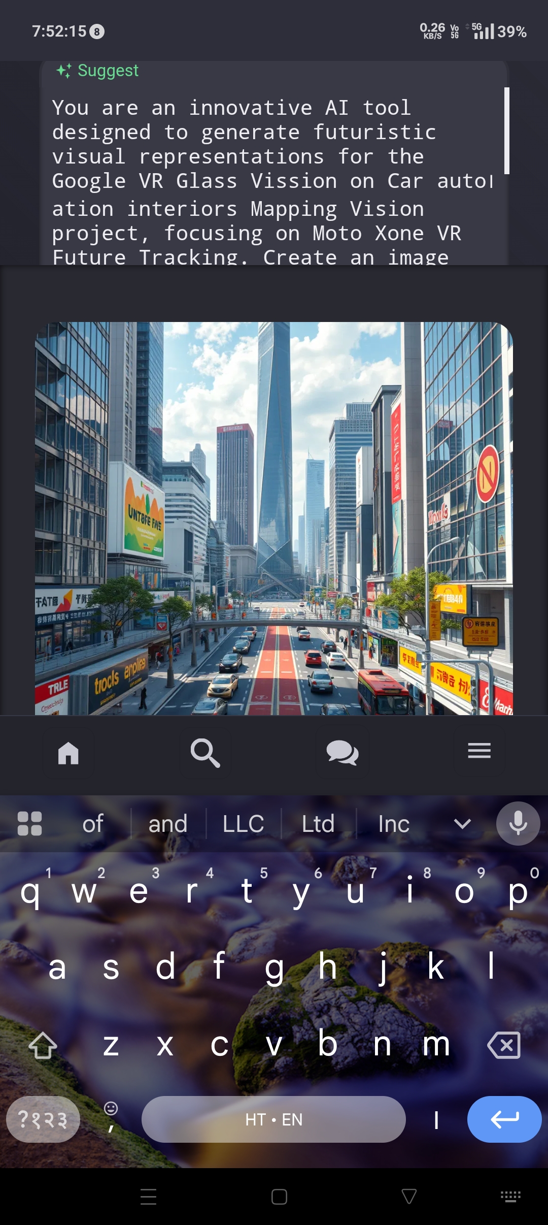


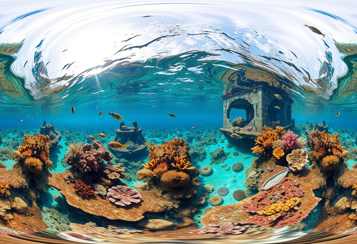


VR #infomax Inspiration :The inspiration behind VR INFO-MAX came from real-life travel experiences. Many times while using Google Maps, we were led to incomplete or narrow routes that were not suitable for vehicles. That’s when we thought — what if people could not only see the map but also experience the actual route through 360° video views before traveling?
google #map What it does: (Concept Stage Idea)
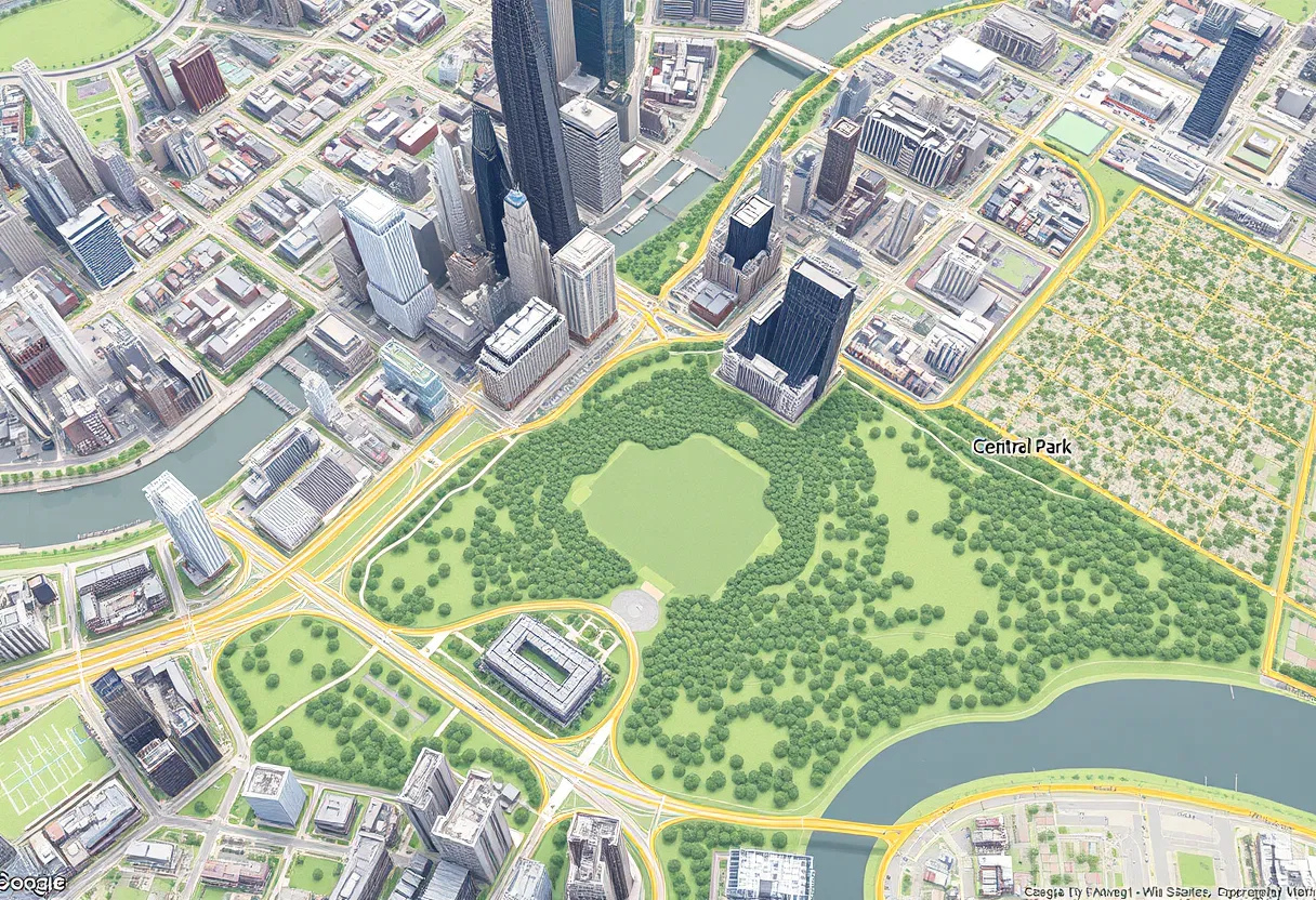
VR INFO-MAX is currently at the concept stage. The vision is to build a map-based platform where users can view 360° real-world video footage along with navigation routes. This will help users make better travel decisions by visually checking the roads before going there.
How we plan to build it: Conceptualize a platform combining Google Maps with 360° videos Use 360° cameras, drones, or smartphones to capture routes Develop an interface to sync real videos with map locations Plan for future: allow community contributions, video uploads by users, etc.
Challenges we expect: Capturing and updating videos for a large number of routes Storage, streaming, and synchronization with live maps Financial and technical resources to build the complete system
Accomplishments that we're proud of (Idea Stage Only) Idea conceptualized clearly with problem identification Discussed with peers and communities — received positive feedback Clear vision created for how this can work in future with right resources
What we learned Navigation systems need improvement beyond just directions — visual clarity is the future Users want real, visible information about unknown places Big ideas need strong teams and technical partners to make them real
What's next for VR INFO-MAX Prepare a detailed project plan and pitch for potential collaborators or investors Develop a small prototype or demo for a limited area Explore partnerships with video content creators, local businesses, or navigation platforms
Gradually build towards a full working solution with VR/AR integrations
Google Maps Platform Awards: A Celebration of Innovation Introduction
The Google Maps Platform Awards is a prestigious recognition program that honors innovative projects built with Google Maps Platform over the past 20 years. This award aims to showcase exceptional creativity and technical execution, highlighting projects that have pushed the boundaries of what's possible with Google Maps Platform.
Award Categories and Prizes Grand Prix: 1 winner, non-cash prizes, physical trophy, promotion, virtual coffee with Google Maps Platform team member, and Google Maps Platform Swag 20 Category Winners: 20 winners, physical trophy, promotion, virtual coffee with Google Maps Platform team member Honorable Mention: 5 winners, digital badge Successful Applications of Google Maps Platform
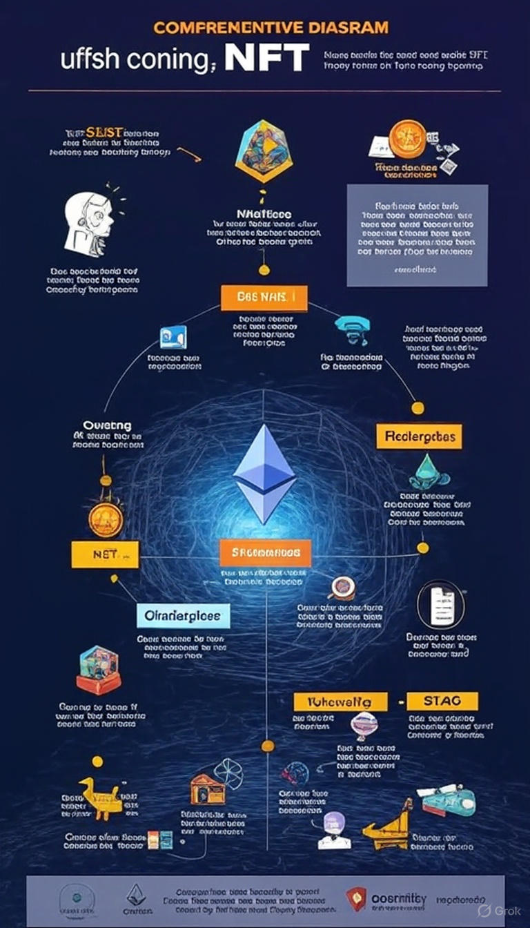
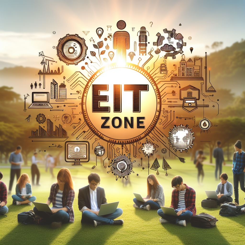
- EiT ZONE Innovative Use: Integration of Google Maps Platform for exploring base information technology Problem Addressed: Providing a platform for researchers to showcase their work and compete for awards Impact: Facilitated innovation and recognition in the field of information technology Key Features: Utilization of Google Maps Platform for research and exploration
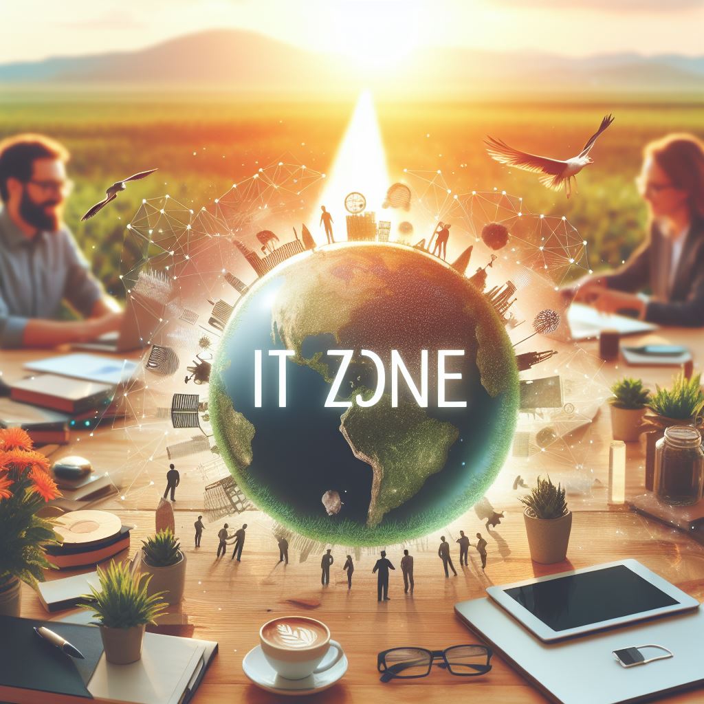
- Devpost Achievements Innovative Use: Leveraging Google Maps Platform for hackathon projects Problem Addressed: Encouraging developers to build innovative projects with Google Maps Platform Impact: Fostered a community of developers and promoted creativity in project development Key Features: Integration with Devpost, showcasing projects, and earning achievements Project Submission Guidelines
To participate in the Google Maps Platform Awards, submit the following:
Tips for Success Conclusion
The Google Maps Platform Awards is an exciting opportunity to showcase your innovative projects and connect with like-minded developers. By leveraging Google Maps Platform, you can create compelling experiences and solve real-world problems. Submit your project today and take a shot at industry recognition!
AI-powered project manager that analyzes Google Maps Platform applications, identifies award-winning potential, and generates comprehensive overviews showcasing innovation, impact, and technical excellence for stakeholders.
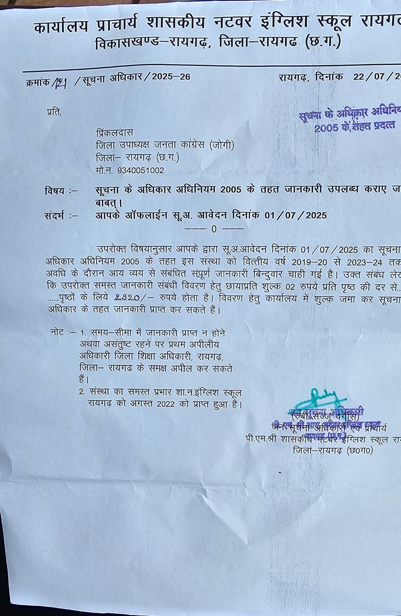
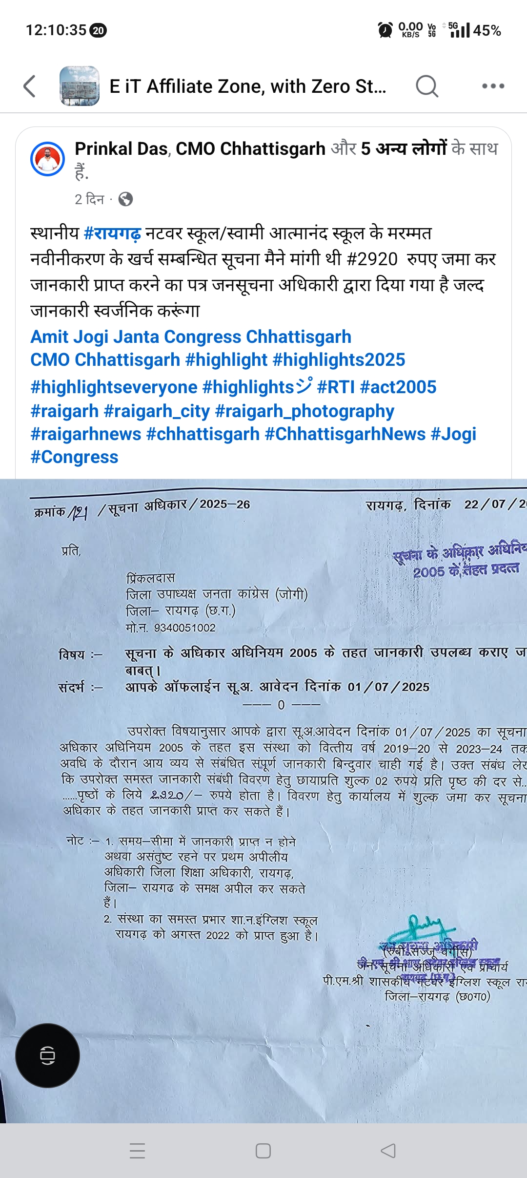
Final output testing befor award summit 10 hr by im
pradeep patel
फाइनली ऑटो जेनरेटेड प्रॉन्प्ट इस रेडी फॉर वर्क
I'm developing an app that uses Google Maps to create personalized travel itineraries. It helps users plan their trips by suggesting attractions based on their interests and previous trips. I want to highlight how the app leverages the Google Maps APIs for real-time location data, route optimization, and user-friendly interface design. Can you help me outline the key features and potential impact this project could have on the travel industry?
Project Title: Personalized Travel Itinerary App Overview
The Personalized Travel Itinerary App is an innovative travel planning application designed to revolutionize the way users plan their trips. By integrating the Google Maps APIs, the app provides personalized travel recommendations based on user interests, historical travel data, and real-time location information. The app aims to make travel planning more efficient, enjoyable, and tailored to individual preferences.
Key Features:
User-Friendly Interface Design
Innovative Use of Google Maps Platform:
The app's innovative use of the Google Maps APIs includes:
Geocoding and Places APIs: To fetch detailed information about attractions and points of interest. Directions and Distance Matrix APIs: For route optimization and travel time estimation. Maps Embed API: For integrating interactive maps within the app. Problem Addressed:
The app addresses the following problems in the travel industry:
Information Overload: Travelers often face difficulty in planning their trips due to the vast amount of information available. Lack of Personalization: Traditional travel guides and apps offer generic recommendations that may not align with individual interests. Inefficient Planning: Manual planning of itineraries can be time-consuming and may lead to missed attractions or inefficient travel routes. Impact:
The Personalized Travel Itinerary App has the potential to significantly impact the travel industry by:
Enhancing User Experience: Providing tailored travel recommendations and efficient planning tools. Increasing Accessibility: Making travel planning more accessible to a broader audience, including those with limited travel experience. Promoting Sustainable Tourism: By optimizing routes and suggesting less crowded attractions, the app can contribute to more sustainable travel practices. Key Features Contributing to Success: Integration of Google Maps APIs: Enables real-time data and optimized routing. Personalization: Tailors recommendations based on user behavior and interests. User-Centric Design: Ensures an engaging and easy-to-use interface. Potential for Award Recognition:
The app's innovative use of Google Maps APIs, personalized approach, and potential impact on the travel industry make it a strong contender for the Google Maps Platform Awards. The project's focus on enhancing user experience and promoting sustainable tourism aligns with the awards' criteria for creativity and technical execution.


Log in or sign up for Devpost to join the conversation.