-
-
Voyager3D
Inspiration
The inspiration for Voyager3D came from noticing a problem with travel accessibility. While traditional maps are informative, they lack the depth and realism that is needed to visualize and explore a place you can’t physically go to. That's what I aim to solve with Voyager3D!
What it does
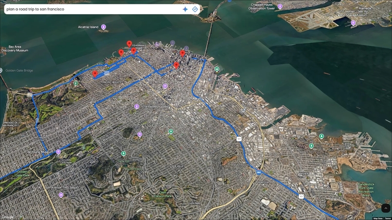
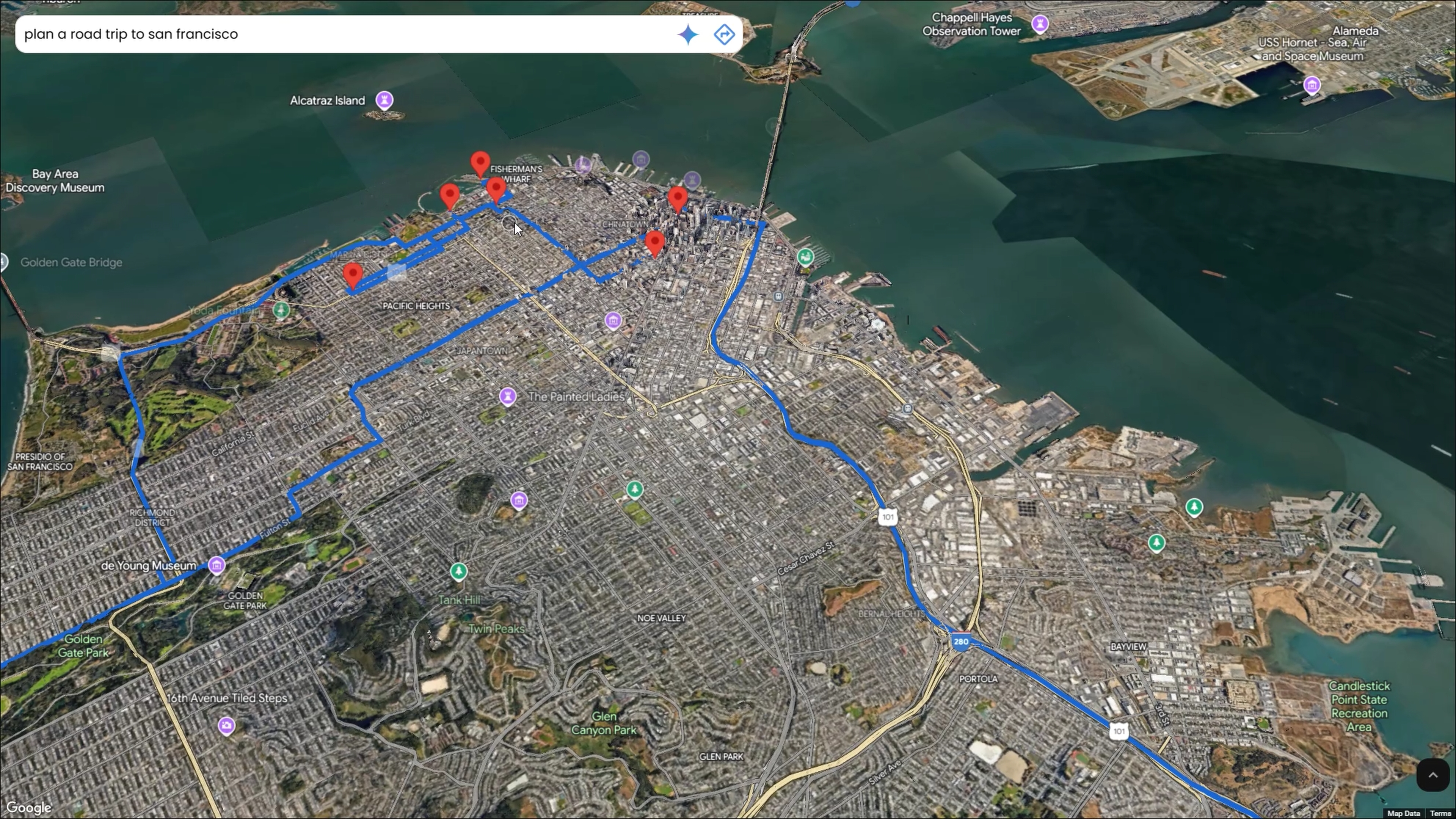
Voyager3D is a photorealistic 3D maps application designed to let people explore real places at ground level without traveling to them. Users can move through a street, look around a landmark, and follow a route in a photorealistic 3D view instead of a flat overhead map.
How we built it
Voyager3D was built using Google’s Photorealistic 3D Maps API and the Google Gemini API. I integrated the Google Maps Routes API to allow users to generate precise directions and visualize routes in a 3D space with custom polylines.
What we learned
This project was a great opportunity to learn and work with new technologies. Diving into these new tools taught me how to harness their capabilities to build immersive and interactive applications.
What's next for Voyager3D
In the future I plan on expanding Voyager3D's feature set to support collaborative trip planning, allowing multiple users to contribute itineraries in real-time. I am also looking into using Gemini's AI capabilities to suggest personalized routes and attractions based on user preferences.
Built With
- css
- gemini
- html
- javascript
- maps-javascript-api
- routes-api


