Inspiration
We wanted to build something that could make it easier for ordinary people to help protect the places around them.
Environmental problems are often noticed by people long before they are properly documented. A damaged road near a natural area, illegal dumping, blocked drainage, erosion, or damage to a public green space might be seen by hundreds of people but never turn into useful, organized evidence.
That led us to SpotFix.
The idea is simple: if someone sees a problem, they should be able to photograph it, locate it, and help turn that observation into something the community can verify and act on.
What SpotFix does
SpotFix is a community-powered environmental reporting platform.
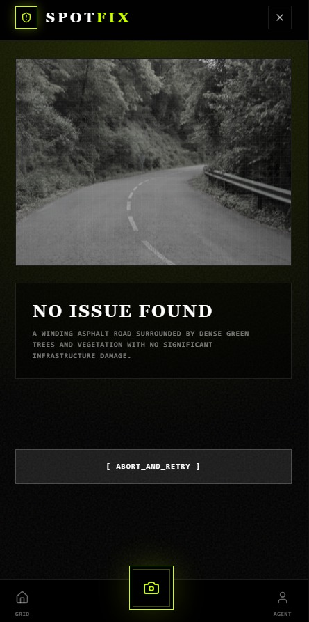
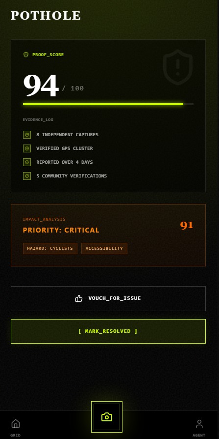
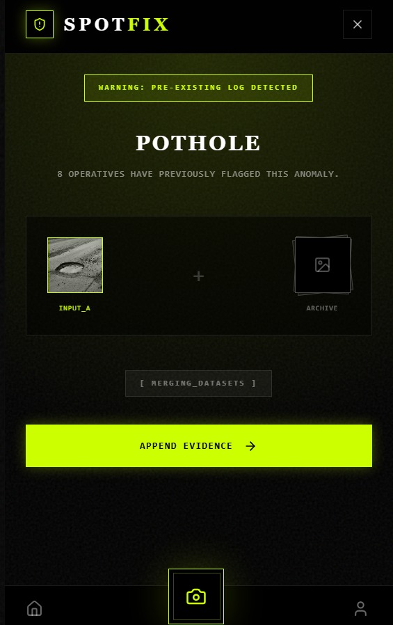
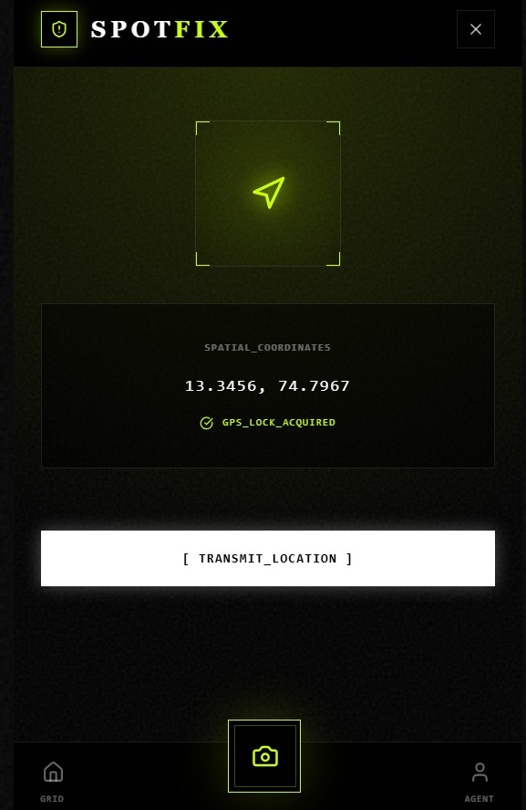
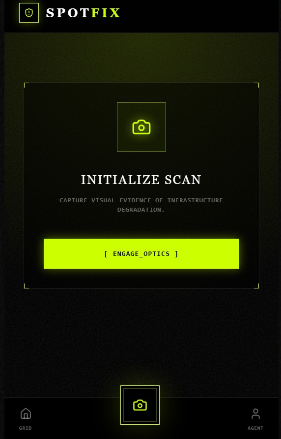
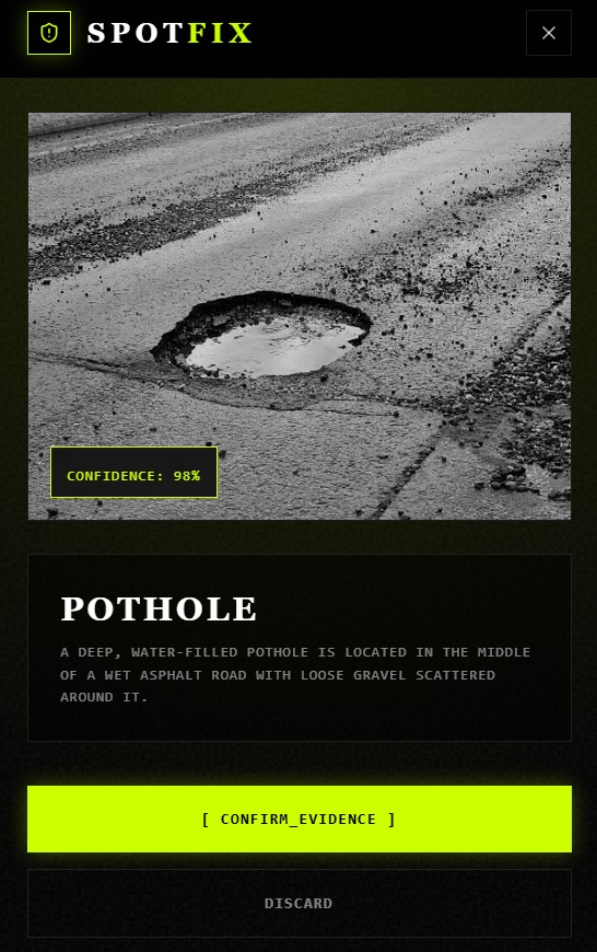
A user can capture a photo of a problem and attach its location. SpotFix organizes the report and uses information such as repeated reports, GPS clustering, and community verification to help determine which issues deserve attention.
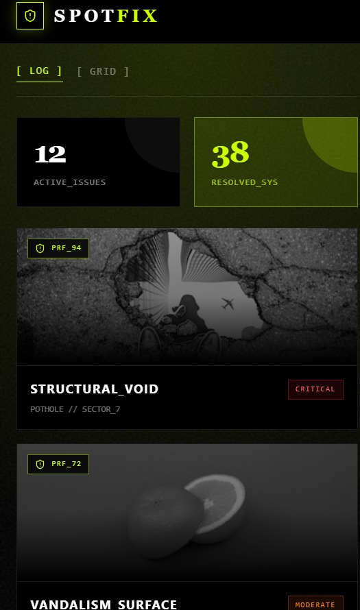
Instead of having hundreds of disconnected complaints, the goal is to create a clear picture of what is happening and where.
For example, a damaged road near a natural area may contribute to erosion or runoff. A blocked drainage system may affect nearby water. Illegal dumping can directly damage local surroundings.
SpotFix helps turn these observations into evidence that can be easier to understand and act on.
How we built it
We built SpotFix as a mobile-first web application because reporting an environmental problem should be possible from the place where it is actually happening.
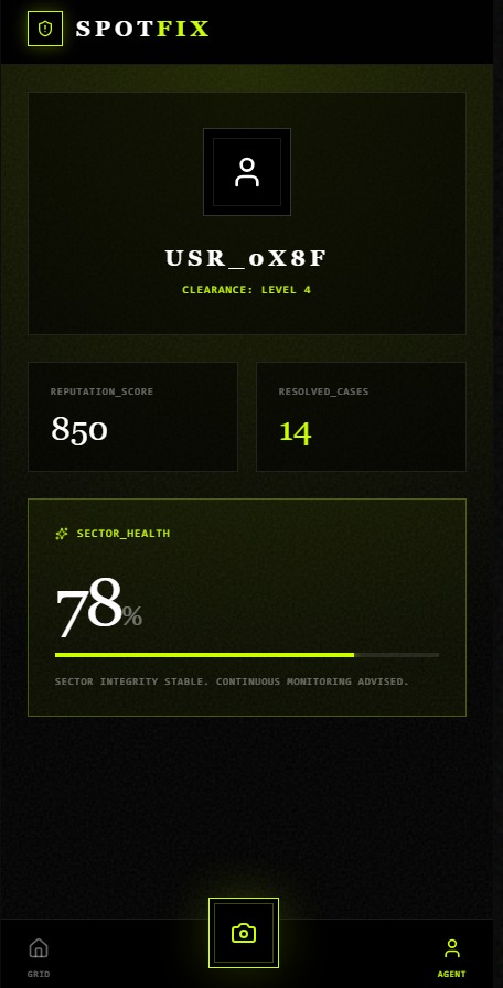
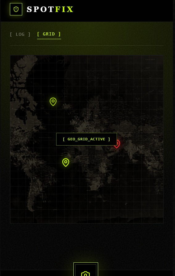
The application uses image capture, location data, issue records, community verification, and a map-based view to organize reports.
We also focused heavily on the interface. The main actions are deliberately simple: capture the problem, provide the evidence, verify it, and track what happens next.
You can try SpotFix here:
What we learned
One of the biggest things we learned was that solving a real-world problem does not always require making the technology complicated.
The difficult part was deciding what information actually makes a report useful.
A photograph alone can show that something is wrong, but combining it with location, repeated observations, and community verification makes the information much more useful.
We also learned a lot about designing a mobile experience where users should be able to understand what to do almost immediately.
Challenges
Our biggest challenge was balancing simplicity with enough information to make reports meaningful.
We did not want users to fill out long forms or understand technical environmental terminology. At the same time, a report needs enough evidence to be useful.
We therefore designed the experience around visual evidence, location, verification, and prioritization.
Another challenge was making a large amount of information understandable without overwhelming the user. This is why we separated the simple reporting experience from the more detailed evidence and map views.
Why it matters
Environmental problems are not always large, obvious events. Many begin as small local problems that people notice but do not know how to report or organize.
SpotFix is built around a simple idea:
People are already seeing environmental problems. We want to make their observations easier to turn into evidence and action.
Our goal is to give communities a simple way to notice, document, verify, and follow up on the problems affecting the places around them.

Log in or sign up for Devpost to join the conversation.