Inspiration
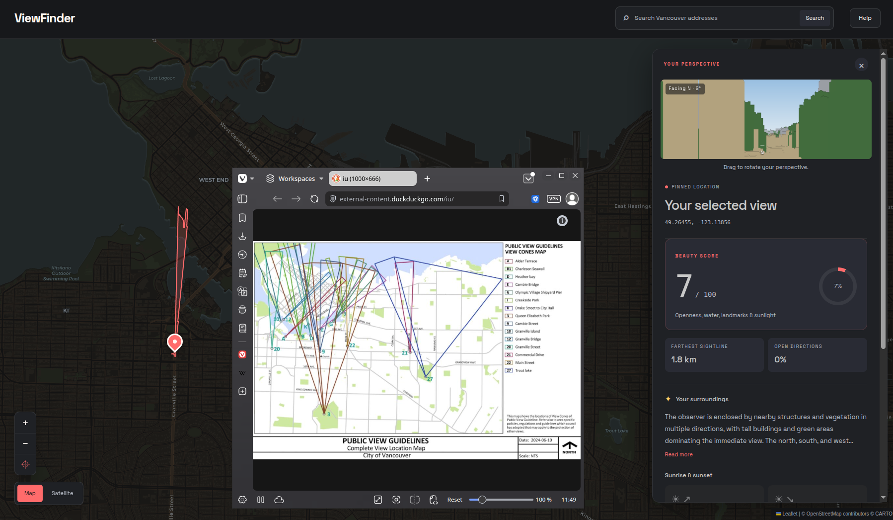
Vancouver is famous for its breathtaking views, and the city has even established protected public view corridors to preserve them. We wanted a way to let people visualize the best and most beautiful sightlines in Vancouver from a different perspective.
What it does
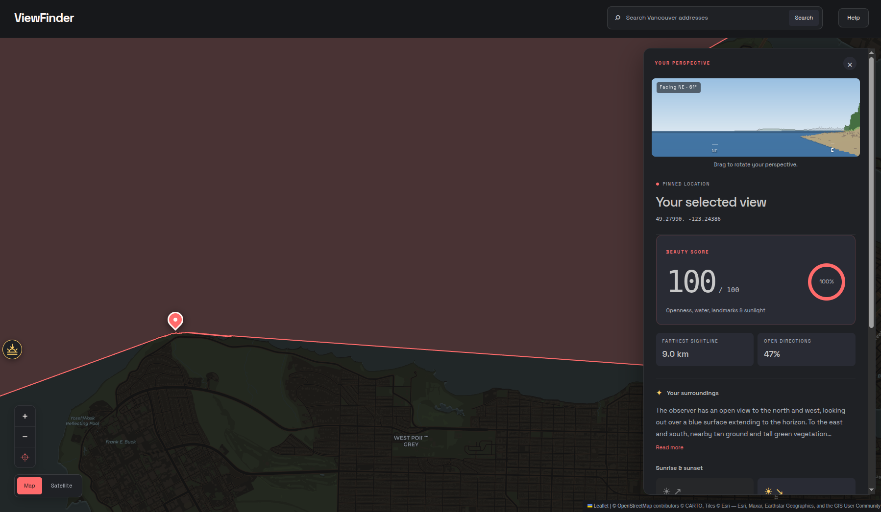
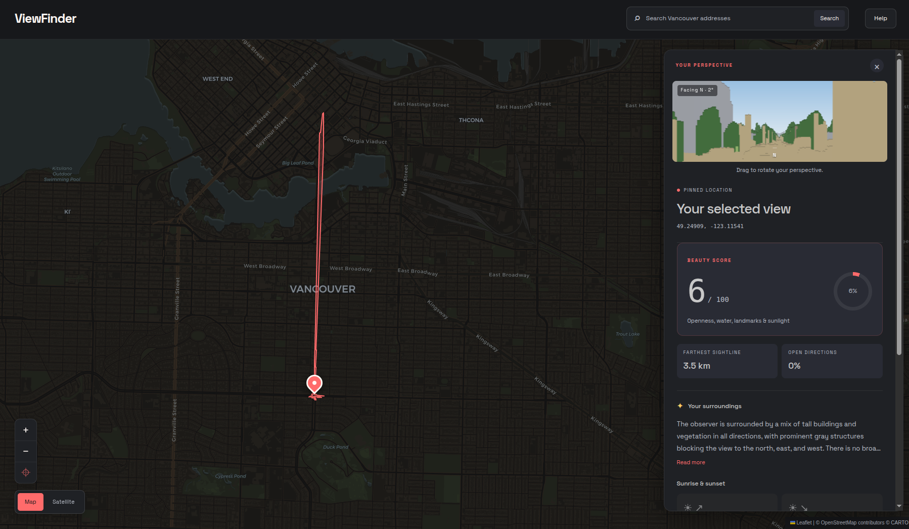
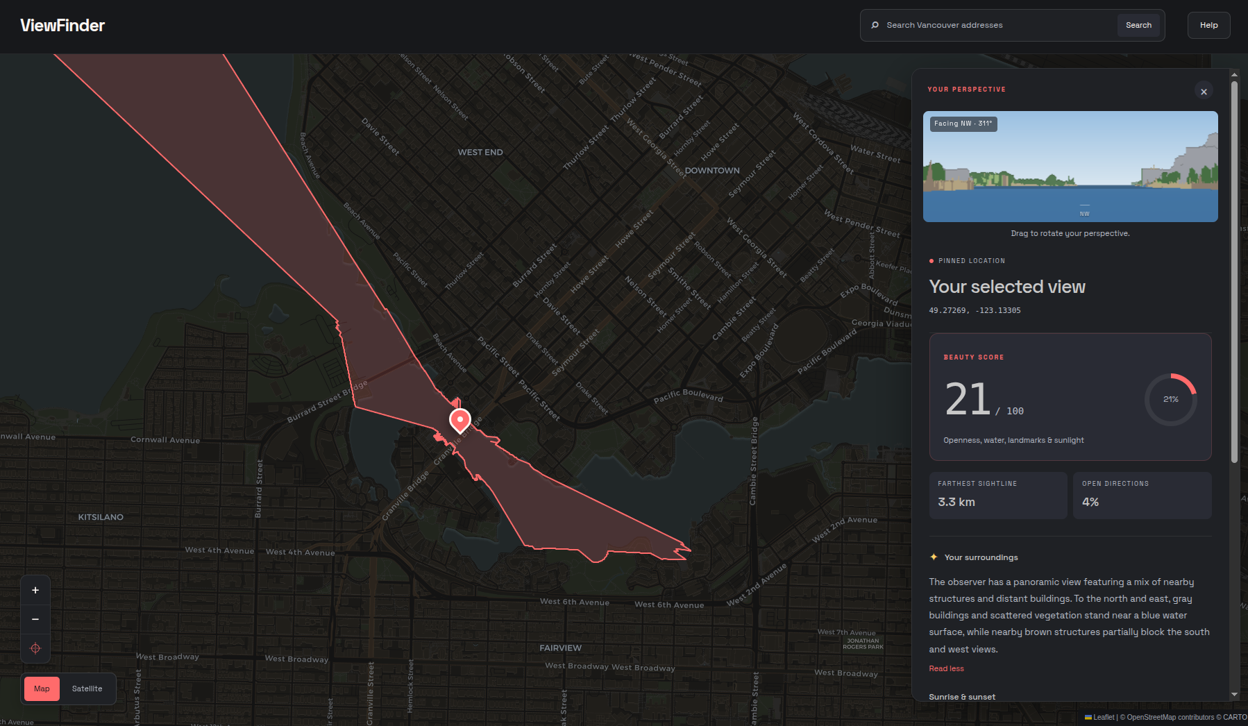
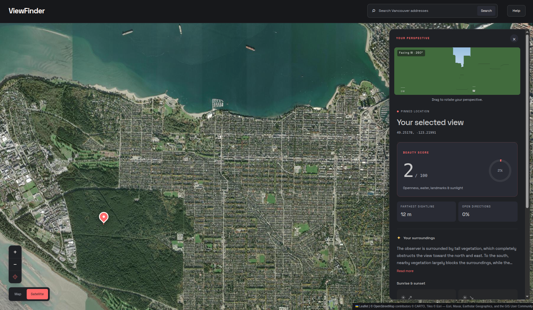
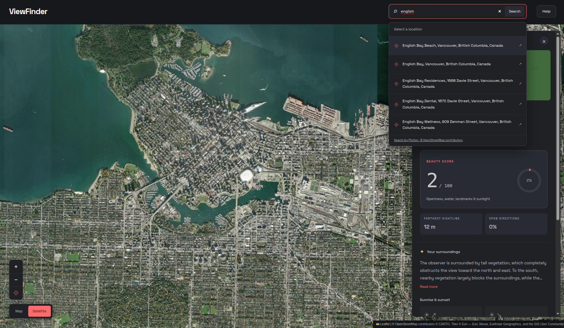
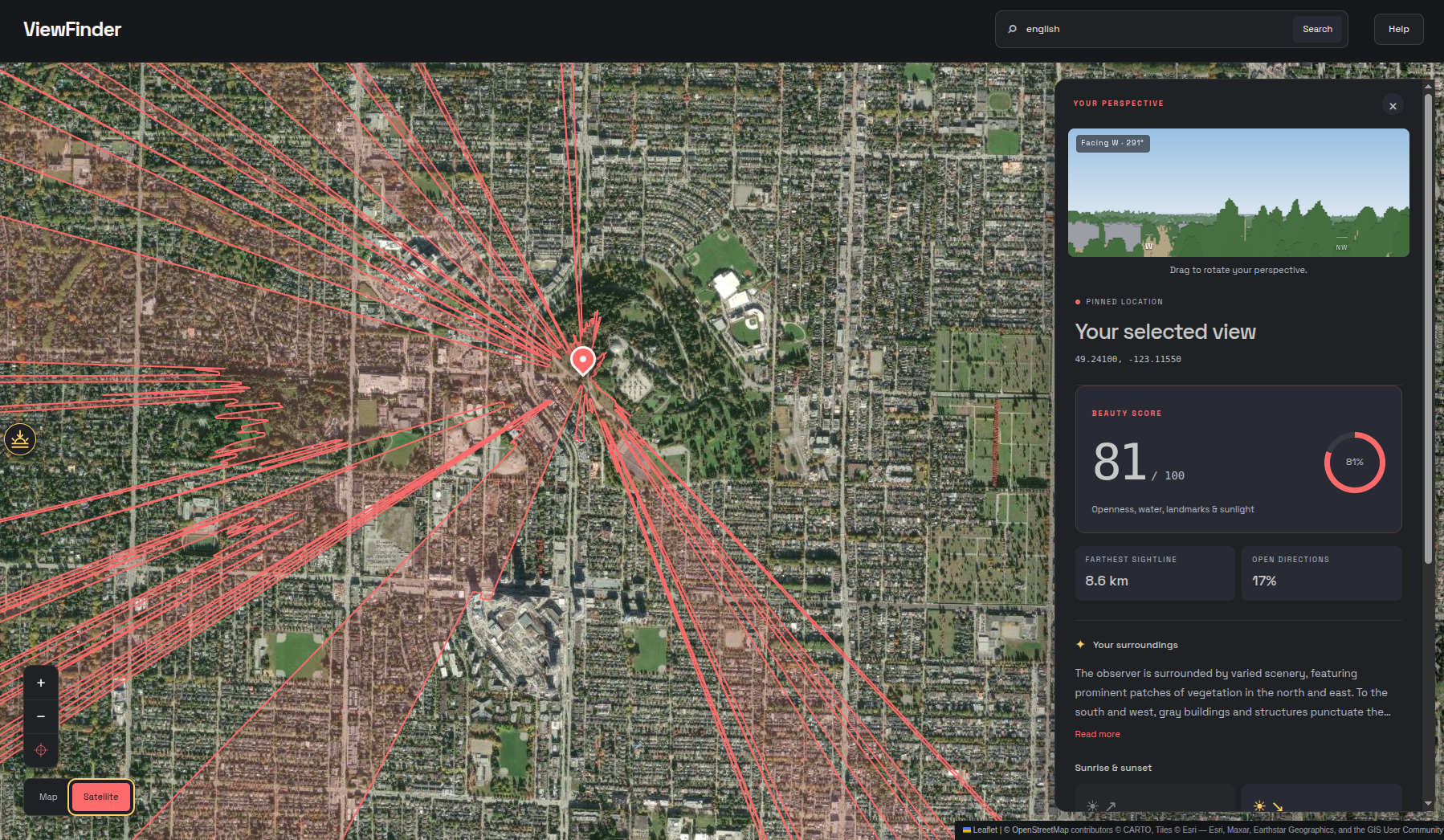
ViewFinder generates a 2D map displaying the viewshed from any point in Vancouver. It accounts for terrain and buildings to determine what areas are visible from a given location, and considers the contents of the viewshed to calculate a Beauty Score.
How we built it
Viewfinder was constructed using a plethora of local datasets including LiDAR data, marine data, geo-tagged images, and even custom datasets. It was built using Python, Rust, React, and Jupyter.
Challenges we ran into
One challenge we ran into was the massive number of points available in the LiDAR point cloud. Overall, across 181km $^2$ of LiDAR scans, we had over 8 billion data points at our disposal. Sorting through noise and outliers was both conceptually and mechanically difficult, but we managed to preserve what was necessary inside of a dataset so downscaled it fits on 2GB of RAM.
Accomplishments that we're proud of
We are pleased with the performance of ViewFinder considering the number of calculations, available data points, and interfacing databases comprising the project.
What we learned
Given this was our first ever Hackathon, we learnt a lot of new skills including using data types and specialized programs we had never heard of before, including CloudCompare, QGIS, .gpkg files, and .shp files.
What's next for ViewFinder
We were very conscience of creating ViewFinder with a scalable workflow that allows us to implement it across any city in the world with suitable LiDAR data. It is within the realm of possibility to extend the coverage of ViewFinder across all of Canada.


Log in or sign up for Devpost to join the conversation.