-
-

viajAR logo
-

-
-
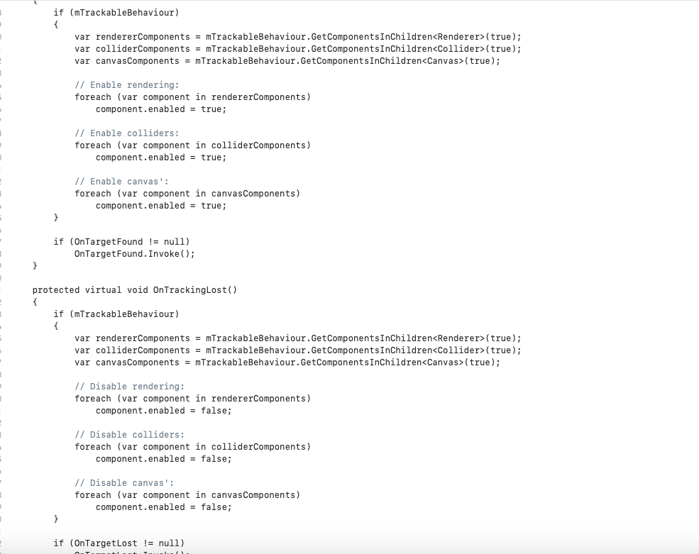
Code for sound effects in unity
-
-
-
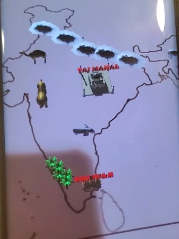
AR in action!


Inspiration
The COVID Pandemic, the difficulty in traveling, and my own interest in geography.
What it does
Projects 3D augmented reality models onto a map of the country. The models are of landmarks found in and animals native to the aforementioned country.
How I built it
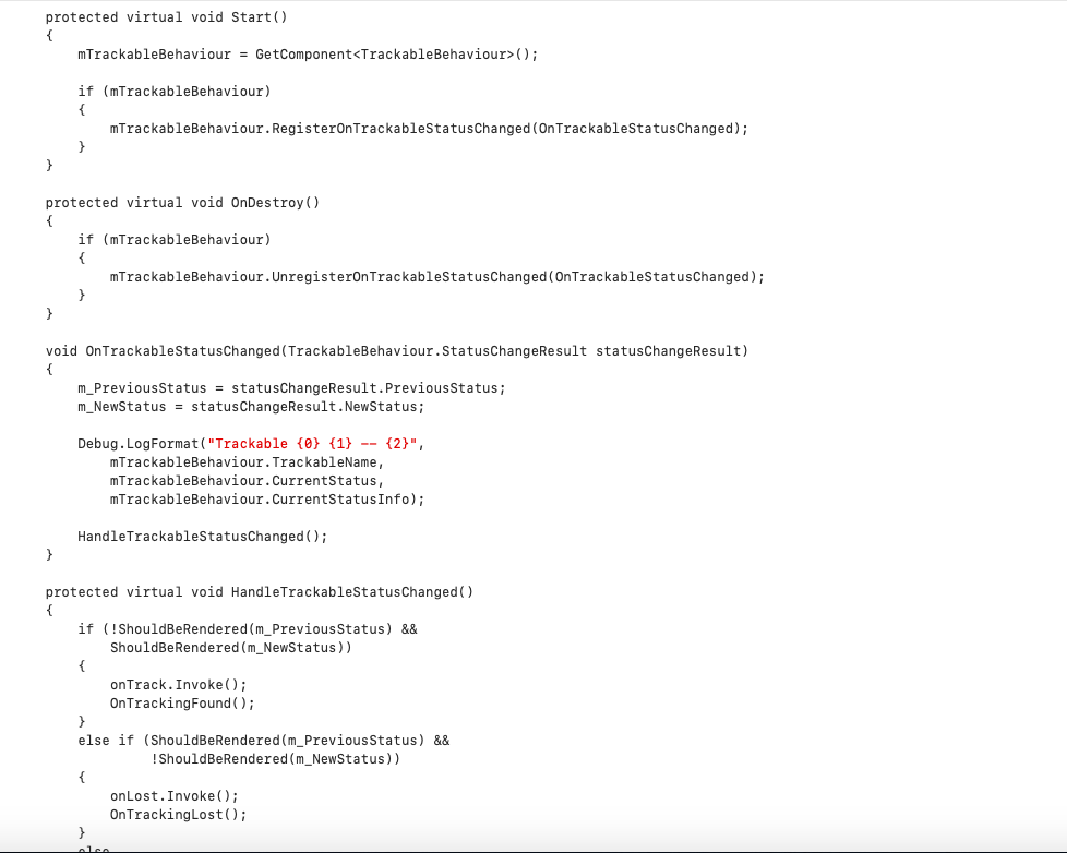
I used unity (coding in C Sharp), echoAR's SDK, and Vuforia's augmented reality package in order to put the app together.
Challenges I ran into
I was completely unfamiliar with making an augmented reality app. It took me a long time, after watching many tutorials and reading many forum posts to get all three of them working.
Accomplishments that I'm proud of
I am really happy that I was able to get the app to work, although I am disappointed that the product was not as visually pleasing as I'd hoped.
What I learned
I learned about C Sharp, and how to use Tinkercad in order to make some of the 3D models.
What's next for viajAR
I hope to make the echoAR parts work on an android phone, and to add more countries and respective landmarks/models.


Log in or sign up for Devpost to join the conversation.