Inspiration
We wanted to create a tool that empowers healthcare workers with real-time data, helping them respond faster to potential radiation-related health risks. That’s how Vex was born, an AI-powered platform built to detect and visualize radiation outbreaks as they happen.
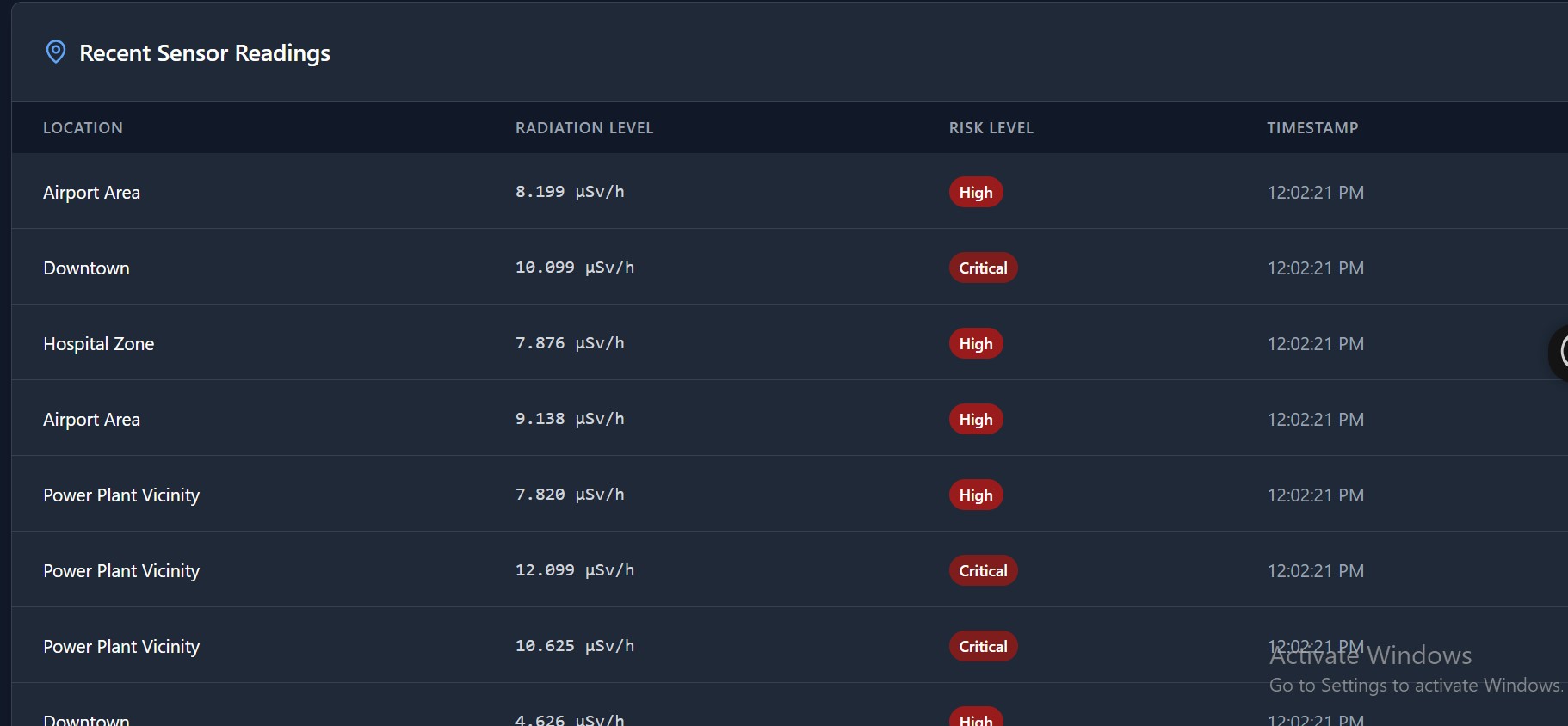
What it does
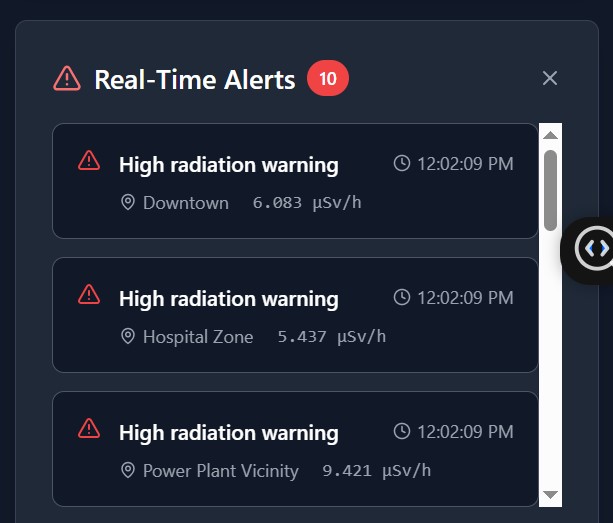
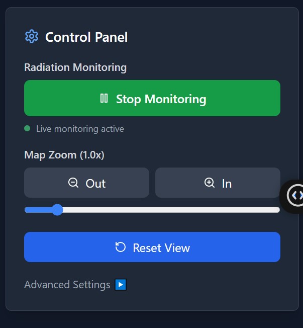
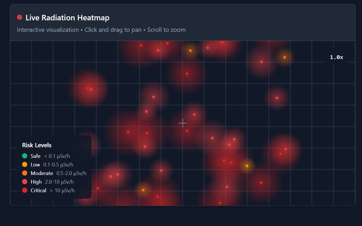
Vex detects potential radiation outbreaks in real time and shows affected areas as dynamic heatmaps. These visual alerts are delivered instantly to healthcare workers, helping them act quickly and effectively.
How we built it
AI Outbreak Prediction: We trained an LSTM (Long Short-Term Memory) model on historical health and radiation data to forecast potential outbreaks. Geospatial Visualization: Using PostGIS for spatial queries and Google Maps API to render interactive, color-coded heatmaps. Real-Time Notifications: Leveraged Firebase Cloud Messaging to alert health workers the moment anomalies are detected.
🛠️ Tech Stack
Challenges we ran into
Ensuring the LSTM model could generalize across diverse datasets. Handling geospatial queries efficiently at scale. Integrating secure, real-time communication across devices and platforms.
Accomplishments that we're proud of
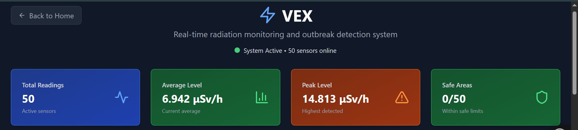
Built an end-to-end solution that combines AI, geospatial data, and real-time alerts. Successfully visualized outbreak predictions on live maps. Delivered notifications with <1-second latency from detection to delivery.
What we learned
How to combine spatial databases with AI predictions for high-impact healthcare solutions. The value of clean health datasets and real-time infrastructure. How vital user experience is when building tools for professionals under pressure.
What's next for Vex
Add support for different outbreak types (e.g. viral, chemical). Enable mobile-native notifications and offline support. Partner with health agencies for real-world pilot testing. Improve model accuracy using satellite or IoT sensor data.


Log in or sign up for Devpost to join the conversation.