-
-
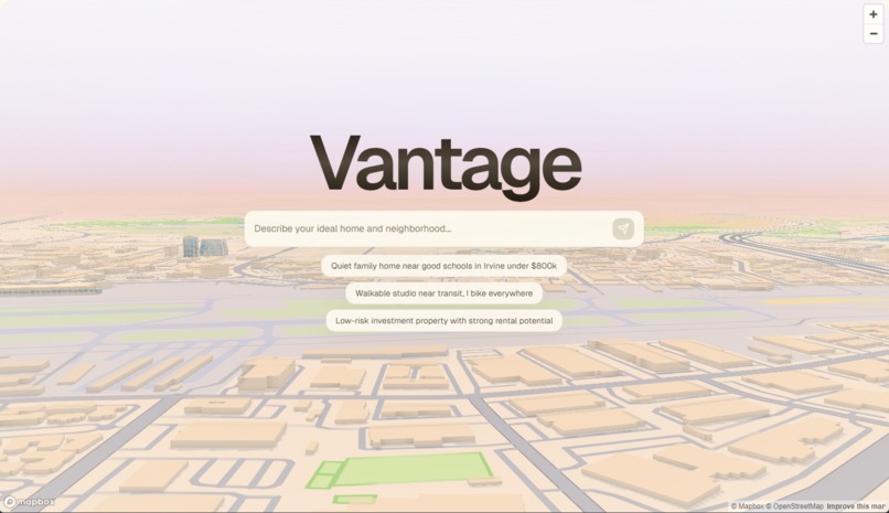
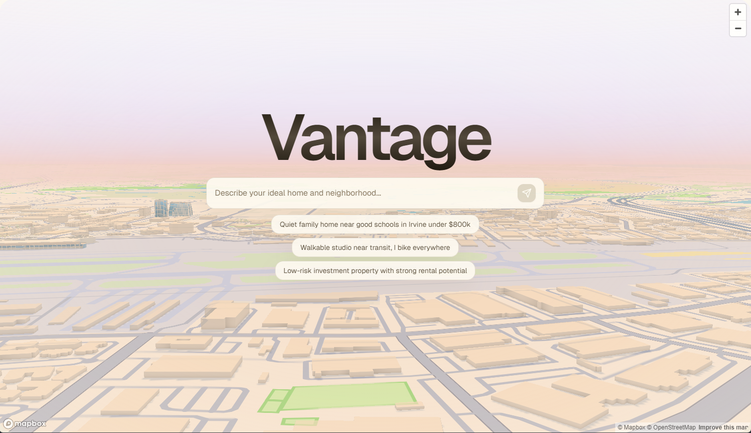
Vantage Homepage
-

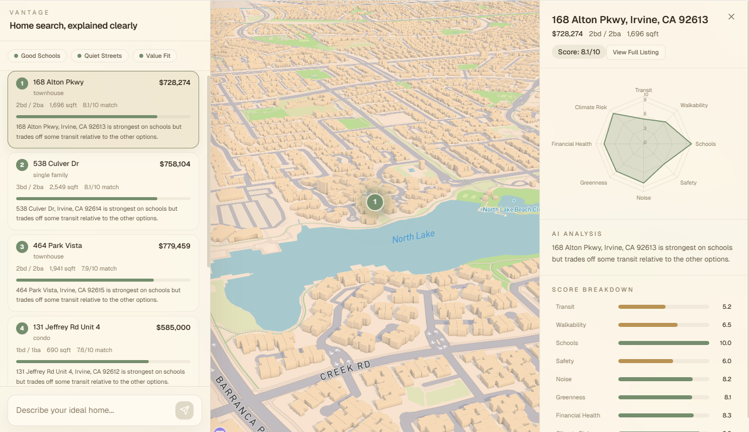
Vantage Dashboard
Inspiration
Every homebuyer eventually hits the same wall: you know what your life should feel like: quiet mornings, a short walk to school, trees on your street, but property listing platforms only let you search by beds, baths, and price. The gap between "I want a calm neighborhood where my kids can bike to school" and "3 bed / 2 bath / $750k" is enormous, and it's exactly where most buyers feel lost.
What it does
Vantage is an agentic system that autonomously gathers property data from six sources, including sources that are omitted in a typical home search. Vantage scores what it finds and places you on a cinematic 3D map with your best matches, helping you visualize amenities and the general streetscape.
How we built it
Vantage's core is an agentic tool calling pipeline powered by Gemini via the Vercel AI SDK. When a user types something like "quiet family home near good schools in Irvine under $800k", it reasons about what to investigate, then autonomously executes multiple toolcalls:
search_properties: filters a curated Irvine dataset by extracted constraints (price, beds, type)
analyze_streetscape: fetches the real Google Street View image at each property's coordinates and scores the street for greenness, walkability, aesthetic quality, and perceived safety
get_crime_stats: runs point-in-polygon lookup (via Turf.js) against a pre-curated Irvine crime dataset sourced from FBI UCR and Irvine PD reports, returning violent/property crime rates, incident counts, and comparisons to city and national averages
get_climate_risk: queries the FEMA National Flood Hazard Layer REST API for real flood zone classification at the property coordinates
get_amenities: reasons about which amenity categories matter based on the user's language. "I have young kids" triggers queries for school, playground, childcare, pediatrician. "I bike everywhere" triggers bicycle_rental, bicycle_shop, cycleway. These are live Overpass API queries against OpenStreetMap.
get_valuation: compares the asking price against nearby comparable sales, computing price-per-sqft percentile and a plain-English assessment.
The overall score is a weighted average where weights are derived from the user's expressed priorities: mention "quiet" and the noise dimension weight increases; mention "safe" and the composite safety weight (which blends the vision-based street feel with the data-driven crime rate) rises.
Challenges we ran into
We struggled with integrating the Google Maps API, as the intelligence of the LLM is determined by the quality of the data each tool returns. We spent as much time tuning tool implementations (FEMA query parameters, Overpass tag mappings, Haversine distance calculations for comparable sales) as we did on prompt engineering.
Accomplishments that we're proud of
We are proud of the UI/UX design, the smooth animations, and the clear visualizations that give the user a complete picture of the housing landscape.
Beyond the visuals, we were able to successfully build an agentic pipeline. Seeing the system autonomously decide to check FEMA flood maps because a user mentioned "peace of mind," or pull Overpass playground data because they mentioned "toddlers," was a major milestone.
What we learned
We learned the importance of planning, creating a list of requirements before building, and how it is okay to take the time to ideate to refine your idea. From a technical perspective, we learned how to use agentic AI to turn a tedious workflow into an autonomous system, complete with tool calling.
What's next for Vantage
Vantage can be augmented with more tool calls to provide even greater context, such as integrating past pricing data, general community sentiment, etc. We could also integrate more housing data, including pictures.
Built With
- fema-nfhl-api
- framer-motion
- google-street-view-api
- mapbox-gl-js
- next.js
- osm
- osm-overpass-api
- overpass
- recharts
- tailwind-css
- typescript
- vercel-ai-sdk
