-
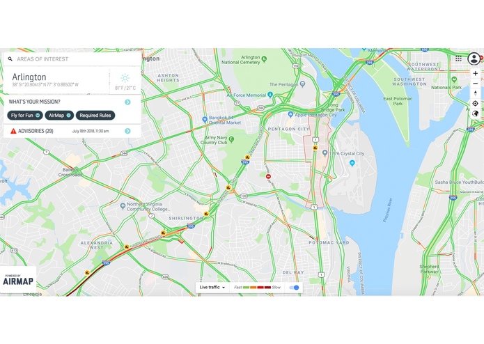
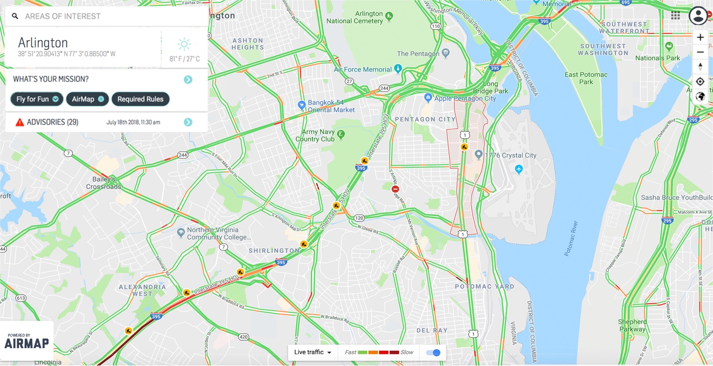
AIRMAP overlayed with traffic data
Inspiration
The Unmanned Aerial Vehicles (UAVs) commonly also known as drones are considered as one of the most dynamic and multi-dimensional emerging technologies of the modern era. Working for a Drone EdTech company I wanted to develop a concept which utilizes SmarterRoads data set to monitor, track and capture data anomalies and potential incidents with Drone Technology.
What it does
Virginia Unmanned Traffic Management (VUTM) is an application that will use state-provided data to monitor traffic in an efficient approach by using SmarterRoads to data to deploy drones. Using drones to oversee traffic can help predict phantom traffic jams and predict traffic issues before they arise
Traffic Issues – Poor road conditions, Truck tipping, Accidents, Pedestrian traffic, Increase event Data used: Incident Report - 1min
How I built it
Using Airmap
Challenges I ran into
Accomplishments that I'm proud of
What I learned
What's next for V-UTM
Built With
- airmap
- drone
- mapbox


Log in or sign up for Devpost to join the conversation.