-
Logo
-
Front End
The Creators
Aaron Chang Github Jimmy Ding Github Slides
Table of Contents
What is MediRoute?
Why is this important?
Our Workflow
Installing MediRoute
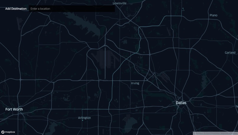
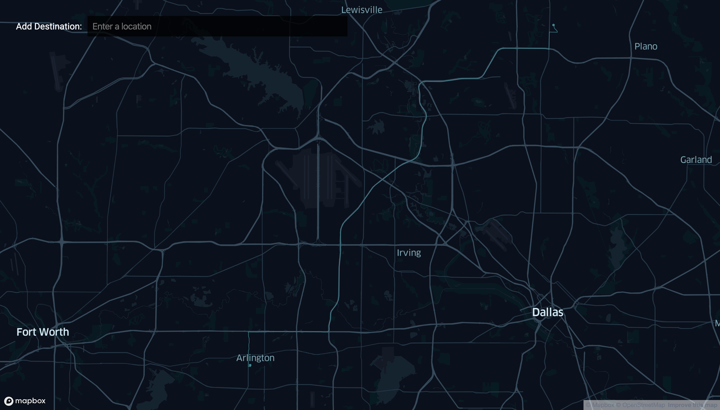
Usage of MediRoute
Additional Functionality
What is MediRoute?
"MediRoute" is a routing system that allows for emergency vehicles that don't follow common traffic rules to have faster routes to their destination. Our inspiration for this came from a news article we read while doing research for a different idea, once we read it, we knew that we had to contribute to this cause.
So, what does it even do? It lets emergency response vehicles have the most efficient route to be found so that response time is able to be decreased by a large amount. This route is calculated from a traffic profile that was made from open source traffic data that was aggregated from Uber and various data.gov collections. It uses this profile to weight roads that have strong traffic to discourage travel, but it takes into account that these vehicles have special rules such as going through stoplights or making cars move to the side. These heuristics allow for a decrease in response time over services such as Google Maps and paper maps. One other feature that it contains is the use of geolocation, because 911 cannot geolocate mobile phones, our program sends the caller a message a link which automatically geolocates them allowing for faster response.
Why is this important?
Movement of emergency service vehicles is very time sensitive when it comes to arriving at their destinations, one minute could mean the difference between life and death. Even with this, many services, if not all, still rely on paper maps for transportation routes, often slowing down the transport time or even in extreme cases, causing the vehicle to get lost. This is where MediRoute comes in, it allows for a decrease in response time which has been calculated that i could save at least 10,000 lives a year.
MediRoute's Workflow
We first took the open source data, most of which was from Uber's open source data set. We joined them with the GEOJson boundaries in order to visualize and analyze traffic patterns. This was then used and extrapolated to the route finder by weighting the different roads. In order to request a route, a user can search it in the geocoder search-bar or get coordinates from the phone. After this, it takes in account of current traffic and the special rules that emergency vehicles have and generates the fastest route.
Installing MediRoute
Good thing is MediRoute is a website so no installation is required for the end user. The lightweight construction of the program also allows for rapid deployment within call centers to be used and this allows for many custom versions of MediRoute to be designed to fit every users need.
Using MediRoute
In a scenario of a 911 call, the user would give an address or click the link that is sent directly to their phone, the dispatcher would put it into MediRoute and it would generate the fastest route based on the current traffic conditions. This could then be forwarded to the Emergency personnel in the station or on the road and it allows them to arrive there in the fastest possible time.
Additional Functionality
One of the ways we were going to take MediRoute, but did not have enough time to implement, was to fully fledge it as a control center for emergency response. It could maintain positions of the fleet and call on the closest one to the incident to guarantee faster response time and much more.
What we learned
Since Jimmy and I are both highschool students, we have never implemented this amount of api's and created a complex backend so we were able to learn how to do that. One thing we REALLY learned is HTTP requests especially getting the location coordinates from the phone

Log in or sign up for Devpost to join the conversation.