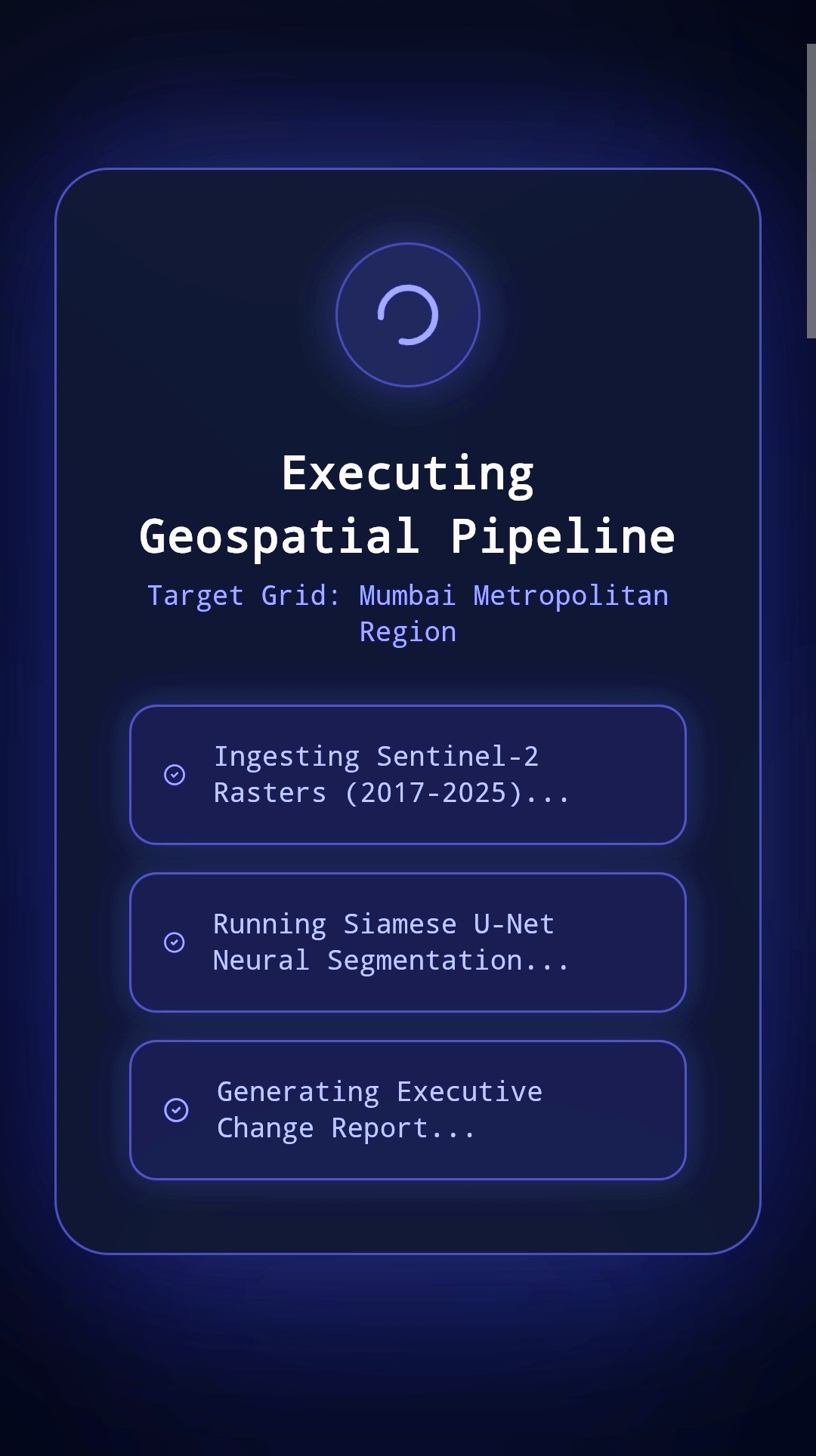
UrbanPulse AI was inspired by the need to transform complex satellite data into actionable urban insights, born out of a desire to harness AI for smarter, data-driven city planning and change detection. The platform operates as an autonomous geospatial intelligence system that processes Sentinel-2 raster data to monitor urban expansion, environmental shifts, and infrastructure changes over time. We built the application using a robust full-stack architecture integrated with Google Gemini and modern web mapping libraries like Leaflet. Along the way, we overcame significant technical hurdles in handling large-scale geospatial raster imagery and optimizing real-time rendering performance. We are especially proud of successfully delivering a seamless, high-performance interface that makes advanced satellite analysis accessible. This project deepened our expertise in spatial data pipelines and AI integration, and moving forward, we plan to expand predictive modeling capabilities and scale the platform for broader smart-city applications.
Built With
- css
- leaflet.js
- python
- react
- sql
- supabase
- tailwind
- typescript
- vite
- with

Log in or sign up for Devpost to join the conversation.