-
-
Le Gang
-
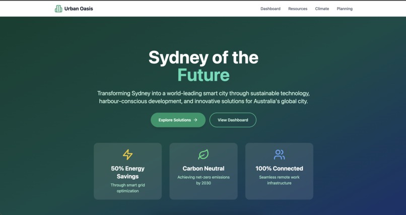
Dashboard
-
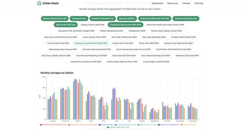
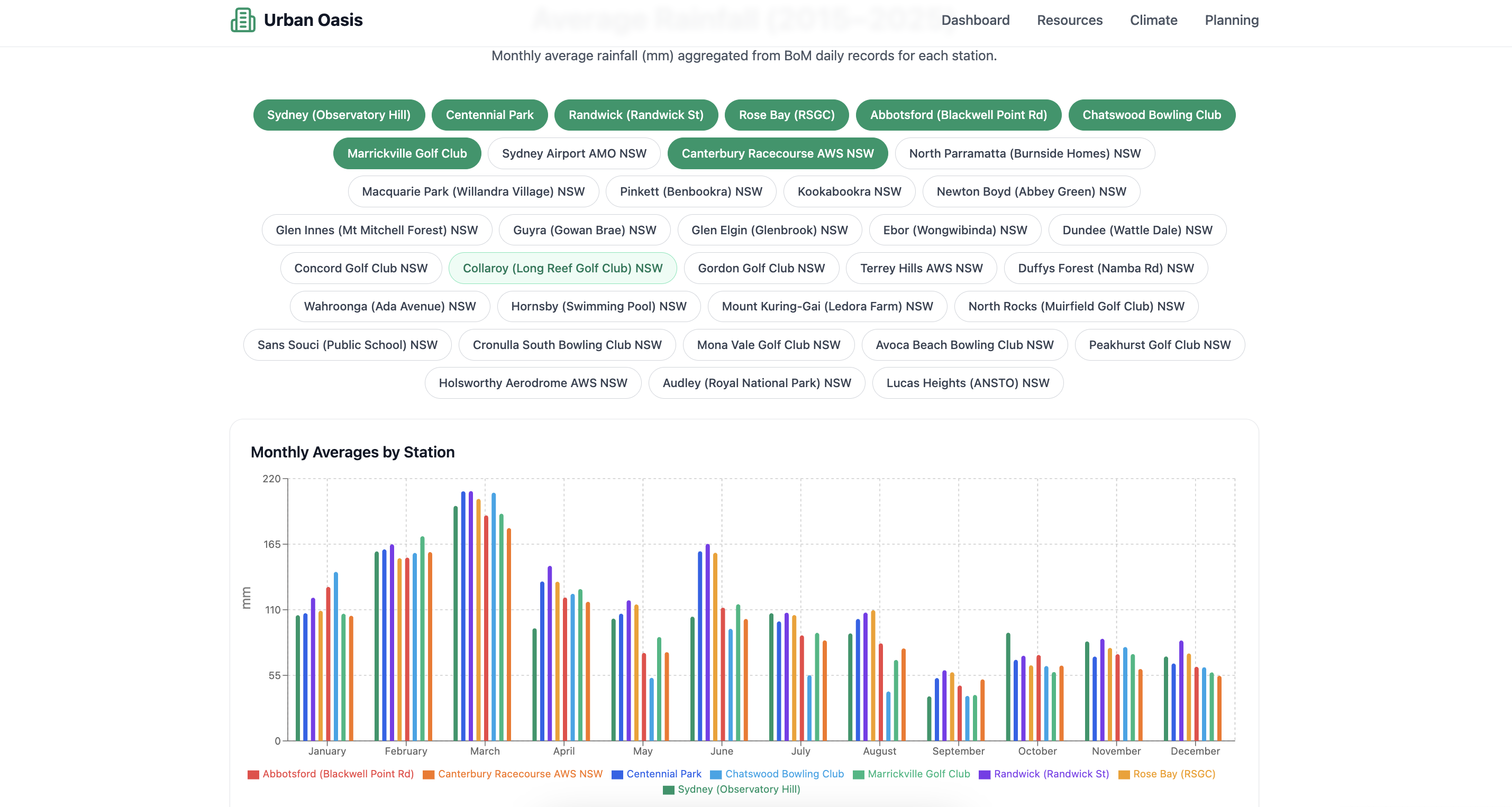
Rainfall Chart
-

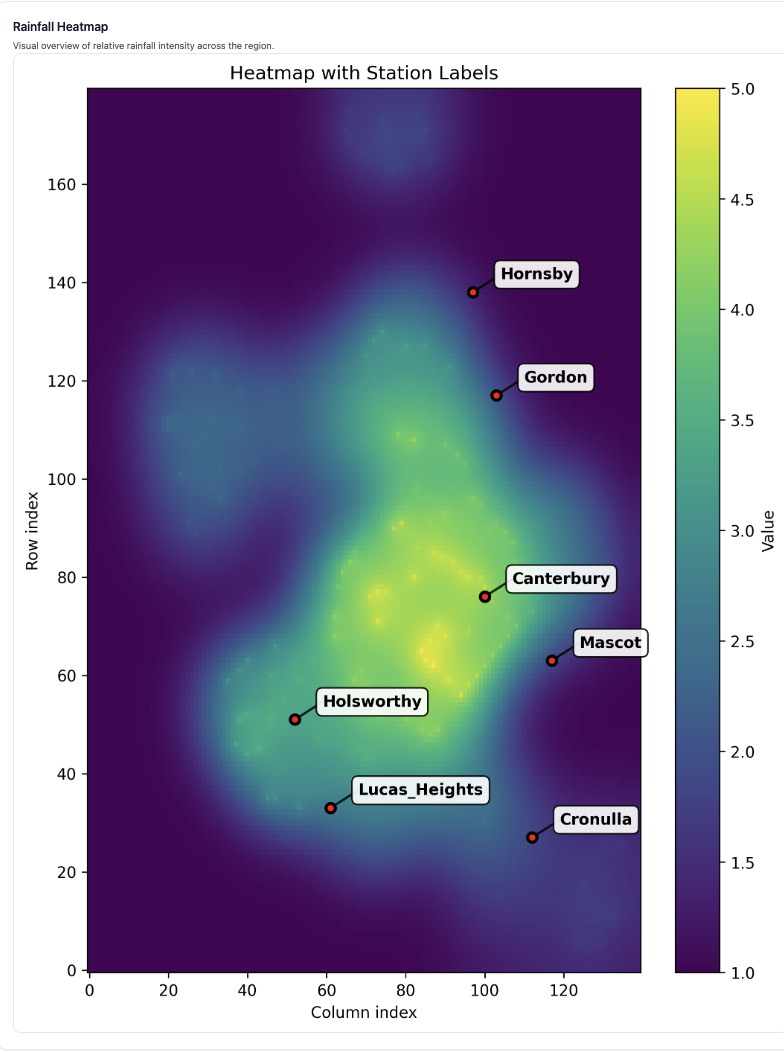
ML-Powered Heat Map
-
Upside down Gang

Inspiration
Sydney receives regular rainfall, yet rainwater tanks are underutilised, only a third of suitable homes use them, and those that do save just ~21% of demand. Many tanks overflow unused during storms or are installed at default sizes that cost more than they save. This hidden water reserve could transform water security, but decision makers lack tools to manage and allocate it. We wanted to change that.
What it does
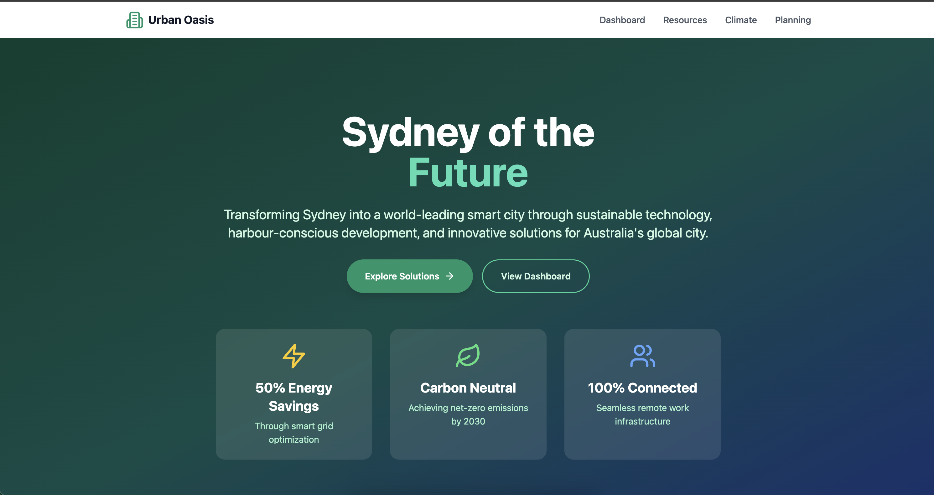
UrbanOasis is an all-in-one tool for rainwater recycling optimisation.
- Collects and visualises real-time rainfall data across NSW suburbs.
- Predicts drought risk probability using historical rainfall and population density.
- Converts risk into simple 1–5 classes for easy visualisation.
- Generates impact-adjusted risk scores so policymakers can prioritise high-risk, high-population regions.
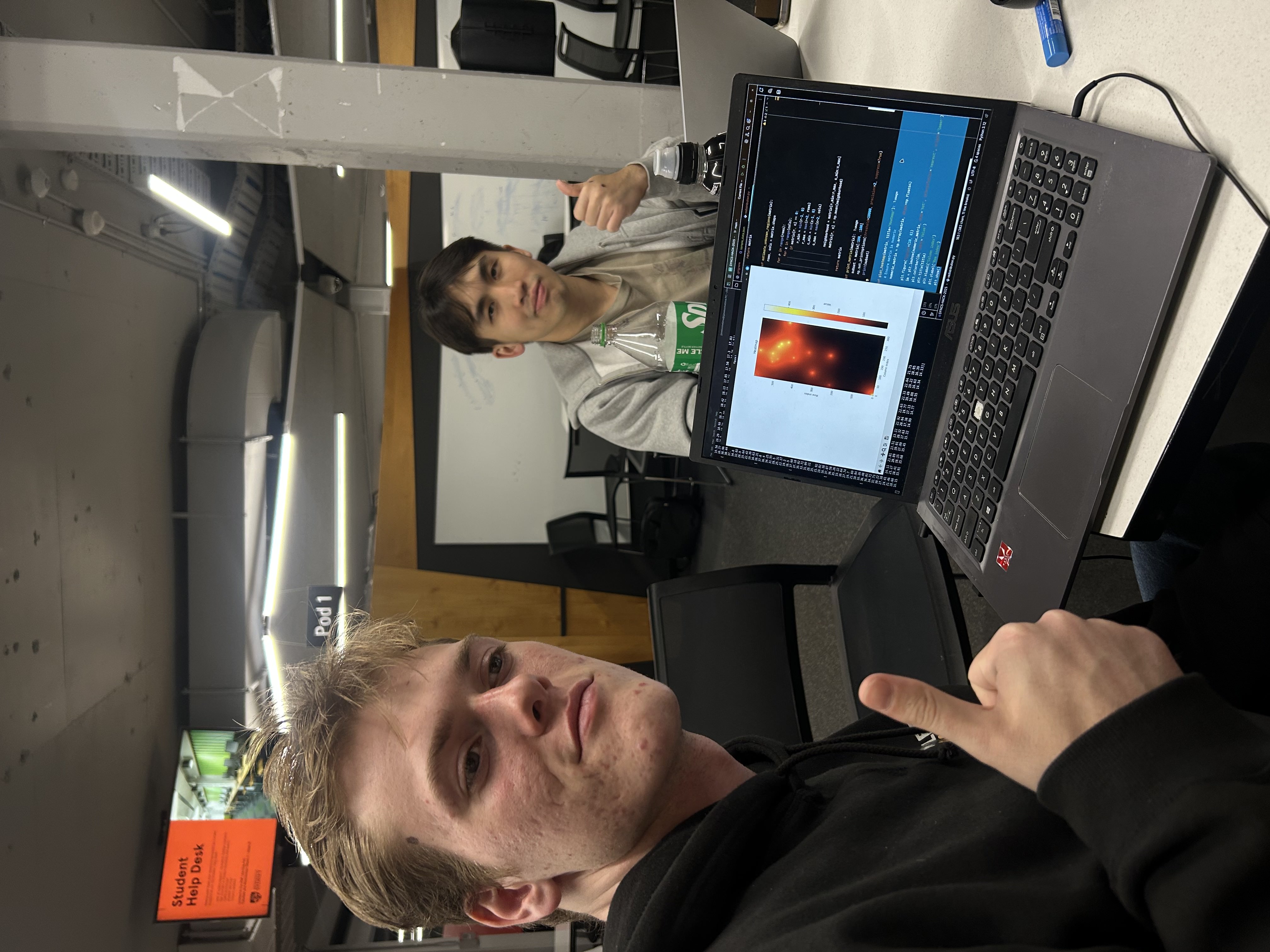
How we built it
Data Preprocessing - Flattened raw JSONs, computed rolling rainfall sums (7-day, 30-day). Drought Labels -Defined drought events as the lowest 20% of historical 30-day rainfall. Feature Engineering - Rainfall anomaly (z-scores), population exposure factors. Model - Random Forest Classifier for binary drought prediction; probabilities discretised into 5 classes. Dashboard - Risk scores mapped and visualised with an intuitive interface. Data sources included the Bureau of Meteorology (rainfall) and Australian Bureau of Statistics (population).
Challenges we ran into
- Cleaning and normalising rainfall data from nested JSON structures.
- Defining drought risk labels in a way that’s both scientifically valid and interpretable.
- Balancing technical accuracy with usability, making risk outputs understandable for policymakers.
- Missing or Inaccurate rainfall data
Accomplishments that we're proud of
- Building a functioning ML-based drought risk scoring system in under 24 hours!
- Creating a population-adjusted impact score to better prioritise vulnerable suburbs.
- Designing a dashboard that turns complex climate data into actionable insights.
What we learned
- How to utilise Random Forest ML model to extrapolate non-linear relationship such as population density and cumulative rainfall in certain suburbs - Paul
- How to effectively scrape off official NSW government data (semi-ethically ; ) ) - Yong Jie
- Beyond data collection and analysis, it is as important if not more for data visualisation - Josh
What's next for UrbanOasis, all-in-one tool for rainwater optimisation
- Integrating additional features such as temperature, soil moisture, and evaporation data.
- Expanding beyond rainfall to optimise broader urban resource flows (ie. sewage, electricity).
- Scaling the tool from NSW to other Australian states and climate-vulnerable cities worldwide.
Built With
- api
- cloudflare
- csv
- express.js
- javerscript
- json
- python
- react
- typescript


Log in or sign up for Devpost to join the conversation.