-
-
FRONT PAGE
-
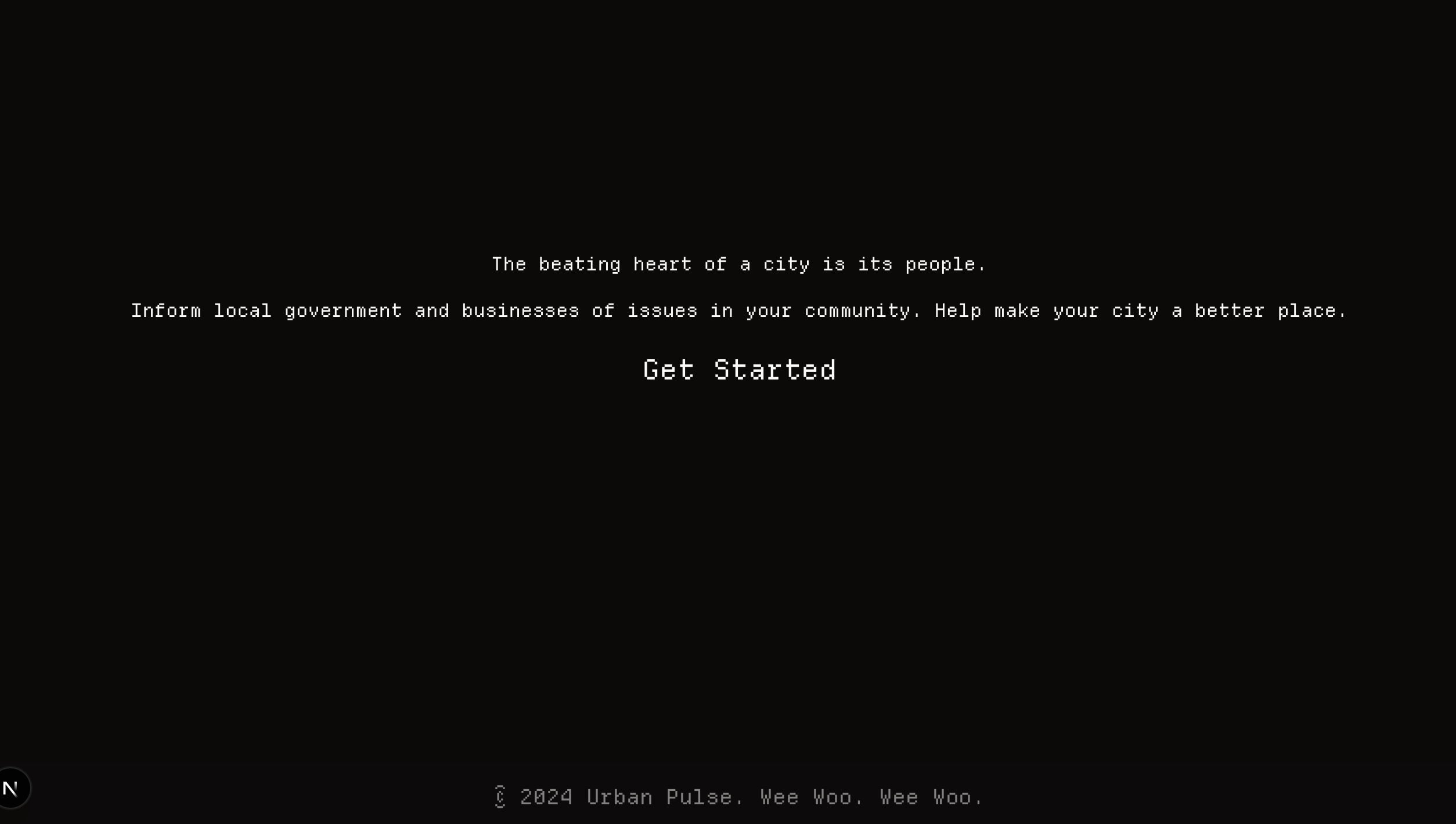
GET STARTED PROMPT
-
USER SIGN IN
-
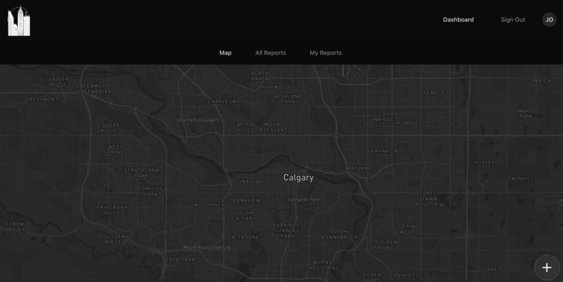
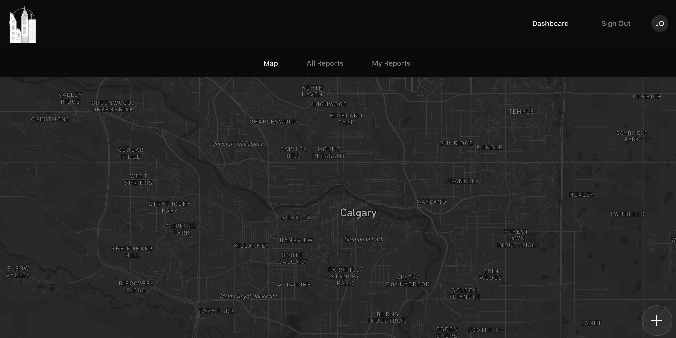
DEFAULT MAP
-
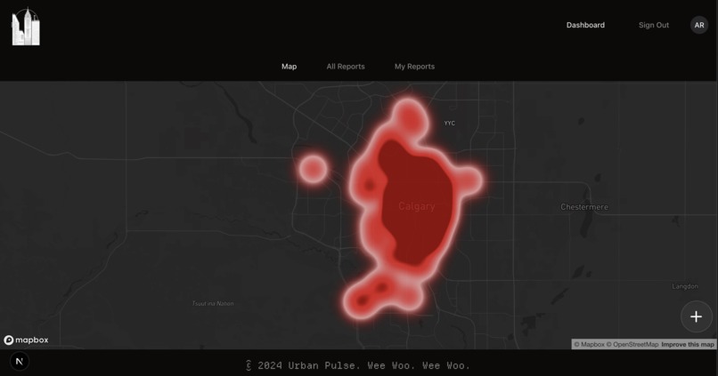
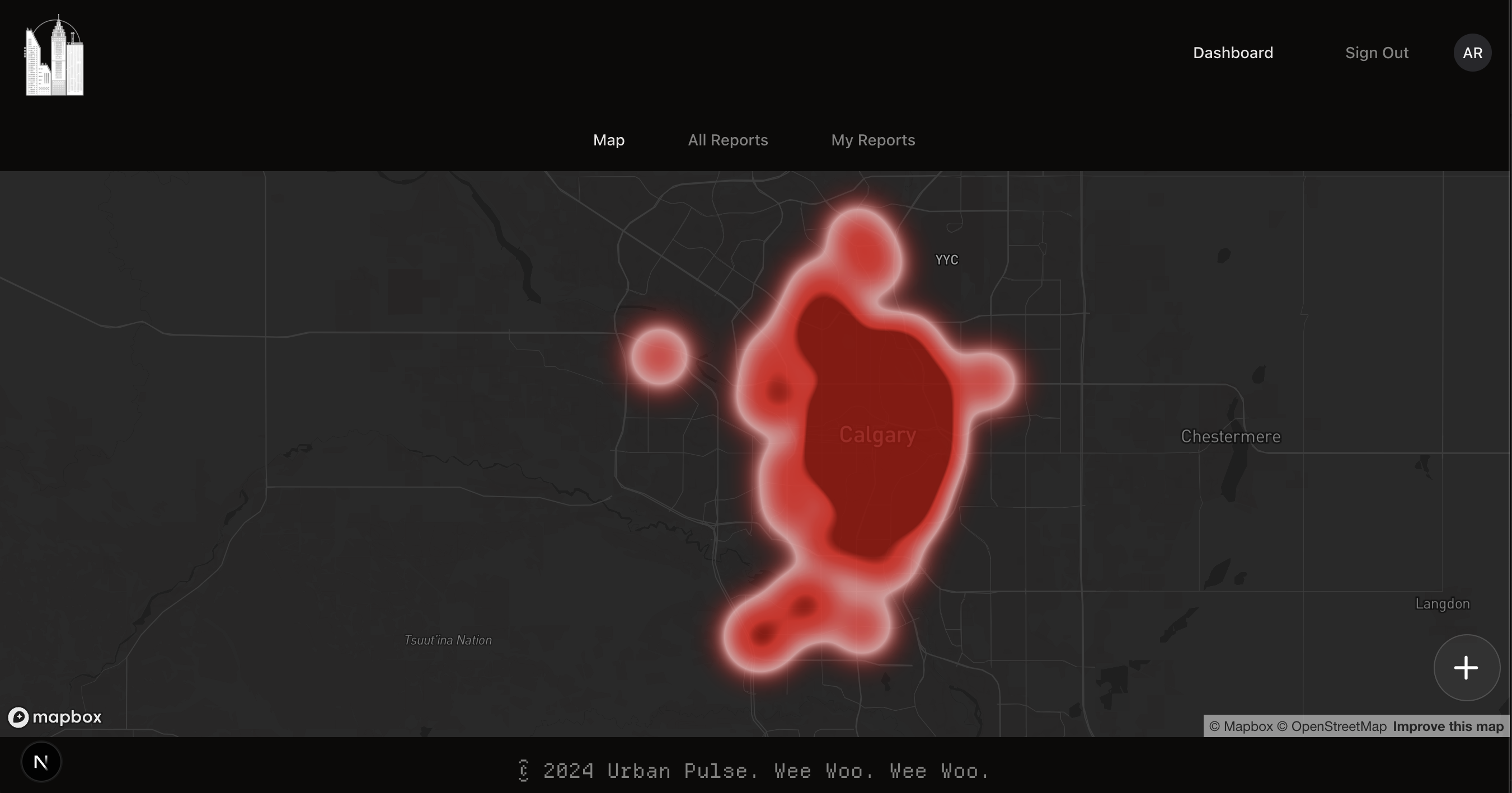
HEATMAP
-
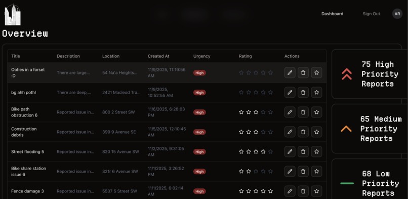
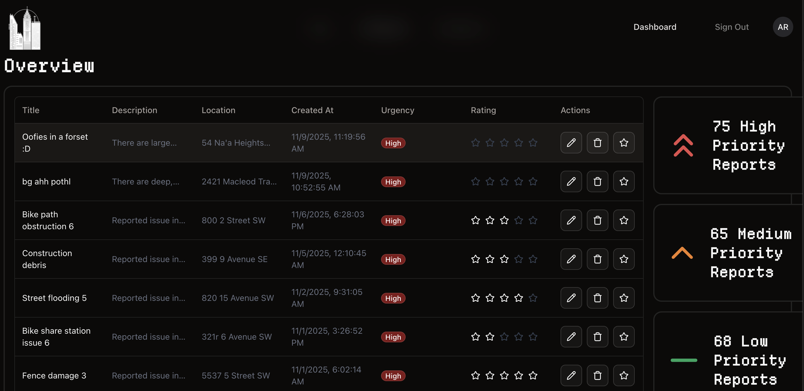
COMMUNITY REPORTS
-
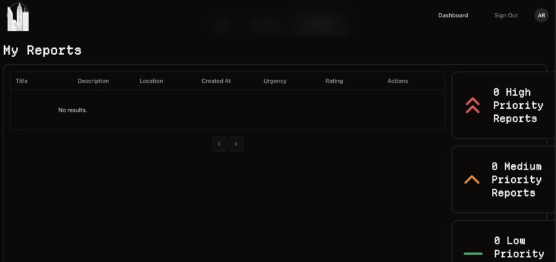
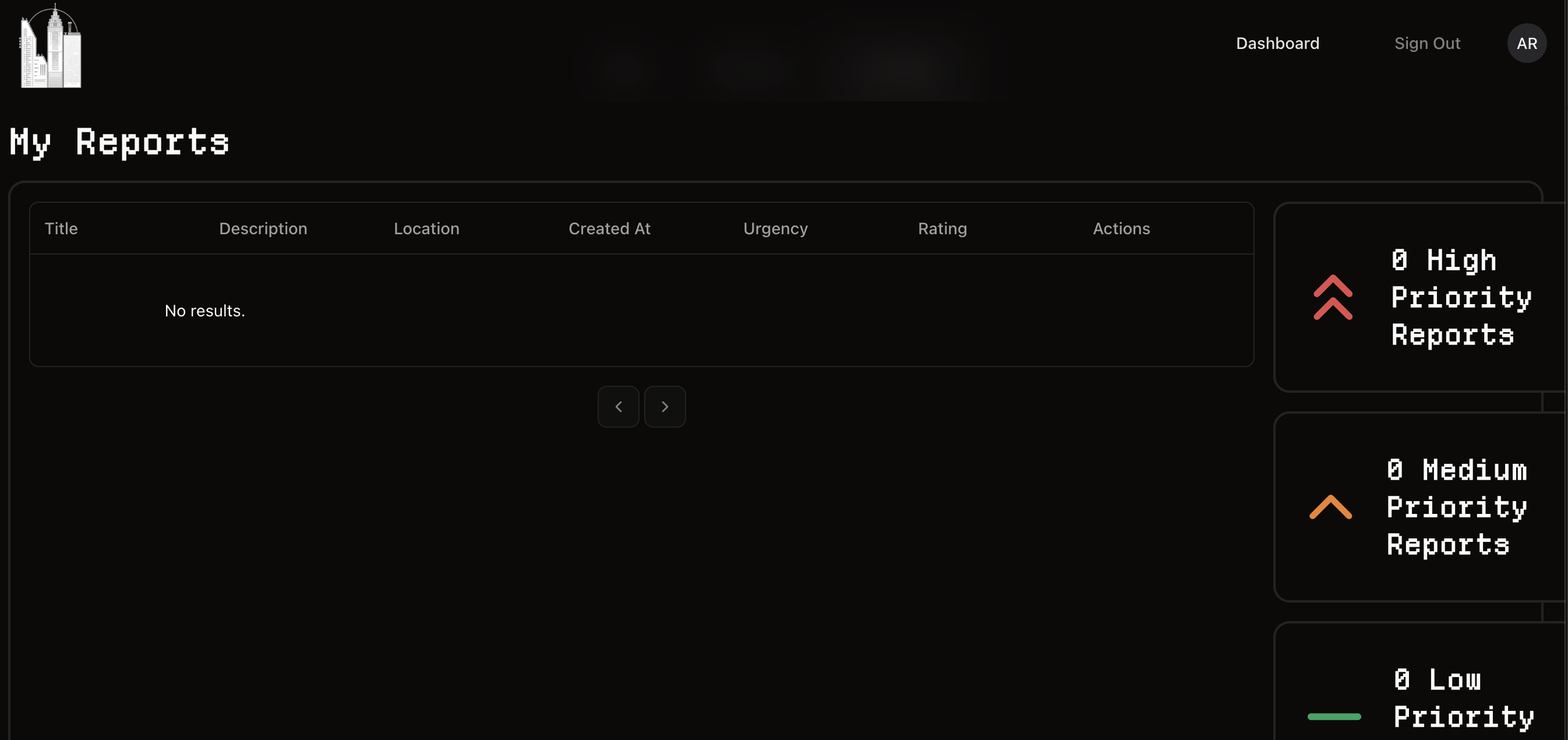
MY REPORTS PAGE
-
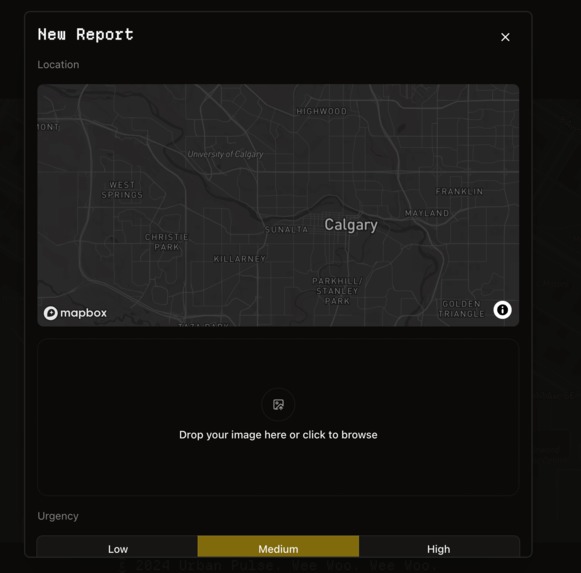
CREATE A REPORT
-
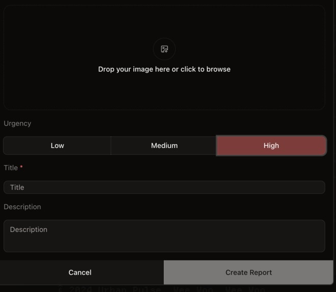
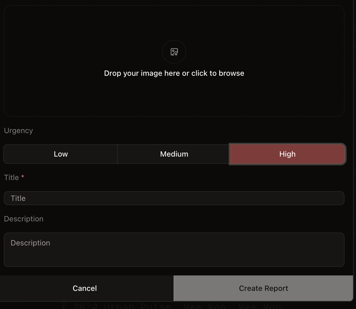
CREATE A REPORT HIGH URGENCY


Inspiration
Every day members of our community walk past damaged infrastructure, potholes, broken lights, and unsafe sidewalks and reporting them is time consuming, confusing, and most of the time feels pointless and the people most affected by these problems have the smallest voice. For seniors, people with disabilities, parents pushing strollers its more than an inconvenience its a barrier to moving safely and independently. Urban Pulse was inspired by turning these issues into real time data that cities can actually use and can speed up the repairing process exponentially.
What it does
Urban pulse is an urban issue reporting platform powered by maps ai and community input.
- Residents can drop an upload information about the issue including a photo and a pin will be dropped on our map, users can select urgency and our in-house AI will create a short description
- Reports appear instantly on a live map with a heatmap overlay to highlight density of issues and hotspots.
- Auto Generate short issue descriptions from images to assist users.
- AI checks issues in close proximity to check for duplicate reports and adjusts urgency according to amount of reports.
How we built it
We built a full stack web app using next.js typescript, prisms, and a Postgres database to store reports, locations, and display that to the public. Images are uploaded via signed urls to AWS s3 and MapBox renders issues on an interactive map. Our AI creates a description for the issue based on the photo and the severity.
Challenges we ran into
- The ai would focus on strange parts of the images so we had to be very specific with the prompt we gave it with the image to get desired results.
- Learning about how longitude and latitude works and using that and Haversine formula to create an algorithm that will check what issues are within 100m of each other to see if they are the same issue.
Accomplishments that we're proud of
We are very proud of how far this project has come, seeing every feature come together made us more determined to make it as good as possible. We are proud to have hosted our own AI model on our in house server and integrating it into the reporting flow was a huge milestone for us. We managed to create an end to end pipeline capture classify, cluster and visualize. Most importantly, we built something that feels simple for residents to use while giving cities structured, high-quality data they can act on.
What we learned
We learned how to work with real geospatial tools and storing coordinates to visualize them on map box and clustering reports to change heatmap intensity and severity of issues. We also learned what it takes to self host an AI model and how powerful your machine must be to handle a self hosted model.
What's next for Urban Pulse
We want to pilot Urban Pulse with a Calgary neighbourhood using local municipal workflows and SLAs. In the future we want to support multiple cities and multilingual access and open API's so we can integrate with existing software like 311 to improve the cities public services infrastructure.
We also wish to expand upon our pre-existing map data visualization to further integrate more features such as available parking information, human-accessibility information and services (i.e. elderly, disabled, etc.).
Combined, we can create and further integrate our AI model to help support our local community, or even reaching a further range of people who can benefit from our solution.
Built With
- llama
- mapbox
- nextjs
- openrouter
- react
- typescript


Log in or sign up for Devpost to join the conversation.