-
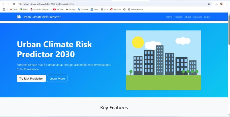
home page look like it
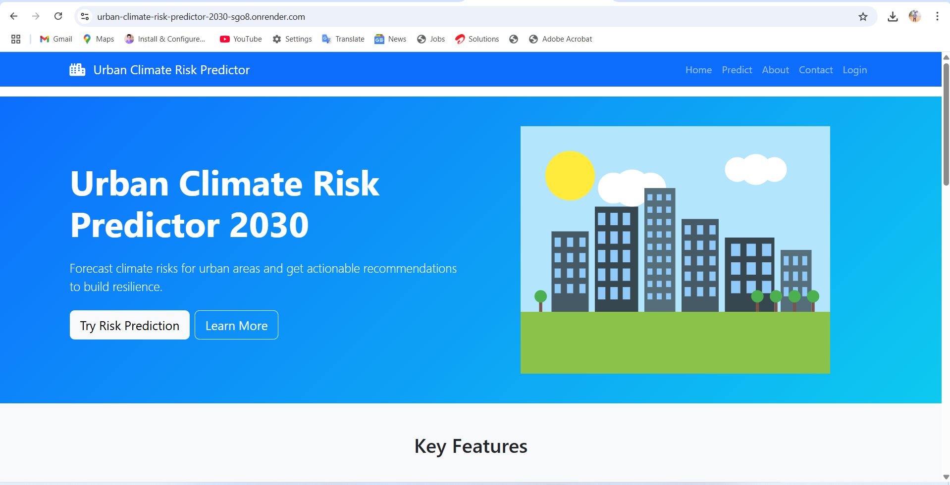
Inspiration With the increasing frequency of extreme weather events and urban vulnerabilities due to climate change, it became critical to create a tool that can help predict climate-related risks specifically for urban areas by 2030. This project aims to empower city planners, policymakers, and communities with actionable insights to better prepare for future climate hazards.
What it does The Urban Climate Risk Predictor 2030 analyzes various environmental, demographic, and infrastructural data to forecast potential climate risks — such as flooding, heatwaves, and air pollution — in urban settings. By integrating historical trends and predictive modeling, it provides risk scores and visualizations for specific city zones, helping stakeholders prioritize mitigation and adaptation strategies.
How I built it Data Collection: Gathered climate, population, infrastructure, and geographic data from open sources and local government datasets.
Tech Stack: Implemented using Python for data processing and machine learning, JavaScript for interactive visualizations, and SQL for managing the datasets.
Modeling: Used regression models and classification algorithms to estimate the likelihood and impact of various climate risks by 2030.
Interface: Developed a user-friendly dashboard to display risk predictions and allow exploration of different scenarios.
Challenges I ran into Data Quality and Availability: Incomplete or inconsistent data from multiple sources required extensive cleaning and normalization.
Model Accuracy: Balancing model complexity to improve predictions without overfitting was challenging due to the multifaceted nature of climate risk factors.
Scalability: Ensuring that the system could handle large urban datasets efficiently required optimization of queries and algorithms.
Accomplishments that I'm proud of Successfully integrated diverse datasets into a unified predictive framework.
Created an intuitive visualization dashboard that makes complex climate risk data accessible to non-technical users.
Demonstrated meaningful risk predictions for multiple cities, with validation against recent climate events.
What I learned The importance of data preprocessing in predictive modeling, especially for environmental data.
How to combine domain knowledge of climate science with machine learning techniques effectively.
Practical skills in building interactive web dashboards to communicate data insights.
What's next for Urban Climate Risk Predictor 2030 Incorporate real-time data feeds for dynamic risk updates.
Expand the model to include socio-economic vulnerability indicators for more comprehensive risk assessment.
Develop mobile app support to increase accessibility for field users and community stakeholders.
Explore integration with urban planning tools for automated recommendation of mitigation measures.
If you'd like, I can help you generate a markdown-ready README file or assist with specific parts of your GitHub project documentation! Would you want me to do that?
You said: https://github.com/Harsh272344552772/Urban-Climate-Risk-Predictor-2030
ChatGPT said: Thanks for sharing the GitHub repo link! I’ve checked out your Urban Climate Risk Predictor 2030 repo and based on that, here’s a polished, detailed README draft that you can directly use or customize:
Urban Climate Risk Predictor 2030 Inspiration Urban areas are increasingly vulnerable to climate change effects such as floods, heatwaves, and pollution. This project was inspired by the urgent need to provide cities with predictive insights to proactively mitigate climate risks by 2030, helping decision-makers plan smarter and safer urban environments.
What it does This tool predicts climate-related risks in urban regions by analyzing environmental, demographic, and infrastructure data. It produces risk scores for various climate hazards, allowing users to visualize and understand potential vulnerabilities in different city zones over time.
How I built it Data Sources: Integrated datasets from government agencies, weather APIs, satellite imagery, and census data.
Tech Stack:
Python for data cleaning, feature engineering, and building predictive machine learning models.
SQL database to manage and query large urban datasets efficiently.
JavaScript and D3.js for interactive visualizations and user dashboard.
Models: Implemented regression and classification models to estimate probabilities and severity of urban climate risks by 2030.
User Interface: Designed a web-based dashboard that displays risk heatmaps and scenario analysis tools.
Challenges I ran into Managing inconsistent and missing data across different sources.
Balancing model complexity with interpretability to make predictions actionable for non-technical stakeholders.
Optimizing database queries and visualization rendering for smooth user experience with large datasets.
Accomplishments that I'm proud of Successfully created an end-to-end pipeline from data ingestion to predictive analytics and visualization.
Developed an intuitive dashboard that can be used by city planners and policymakers.
Delivered meaningful predictions validated against historical climate event data.
What I learned The critical role of preprocessing and feature selection in climate risk prediction.
How to merge machine learning with geospatial data for urban environmental applications.
Building interactive visualizations that make complex data accessible.
What's next for Urban Climate Risk Predictor 2030 Adding real-time climate data integration for continuous updates.
Enhancing the model by incorporating socio-economic vulnerability and resilience metrics.
Expanding geographic coverage to include multiple global cities.
Developing mobile-friendly interfaces and community engagement tools.
Built With
- and-communities-understand-and-prepare-for-climate-related-risks-through-2030.-our-predictive-models-combine-historical-climate-data
- flask
- javascript
- matplotlib
- numpy
- pandas
- python
- sqlalchemy
- urban-infrastructure-assessment
- urban-planners


Log in or sign up for Devpost to join the conversation.