-
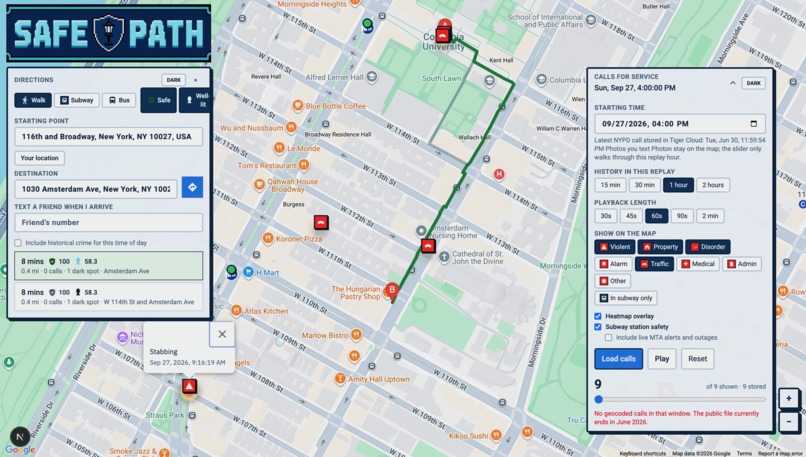
Safe Path Web App
-
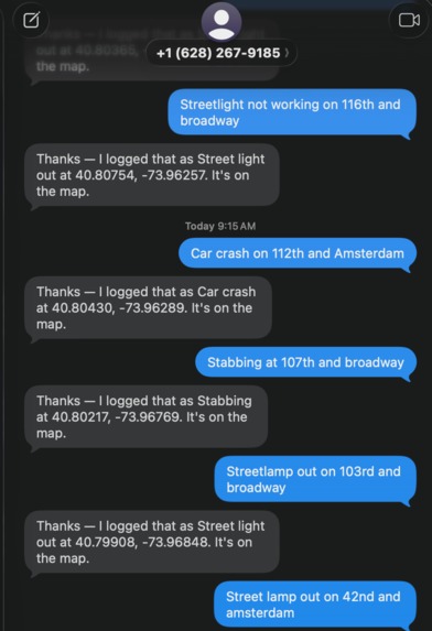
Photon AI-integrated Imessage Functionality
-
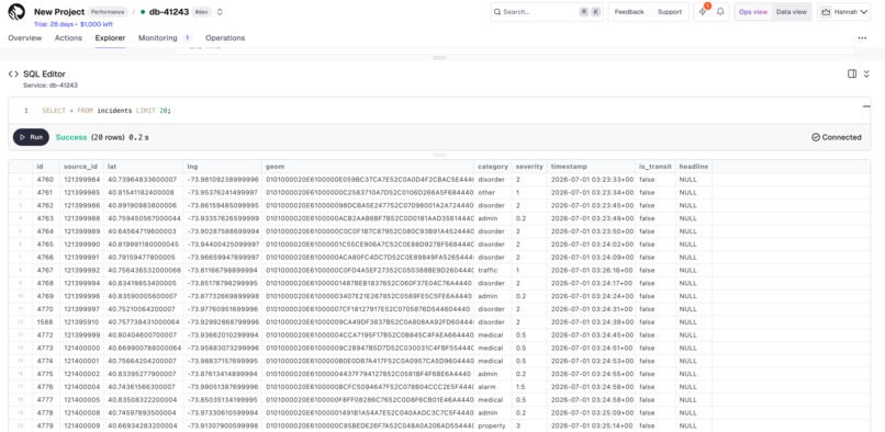
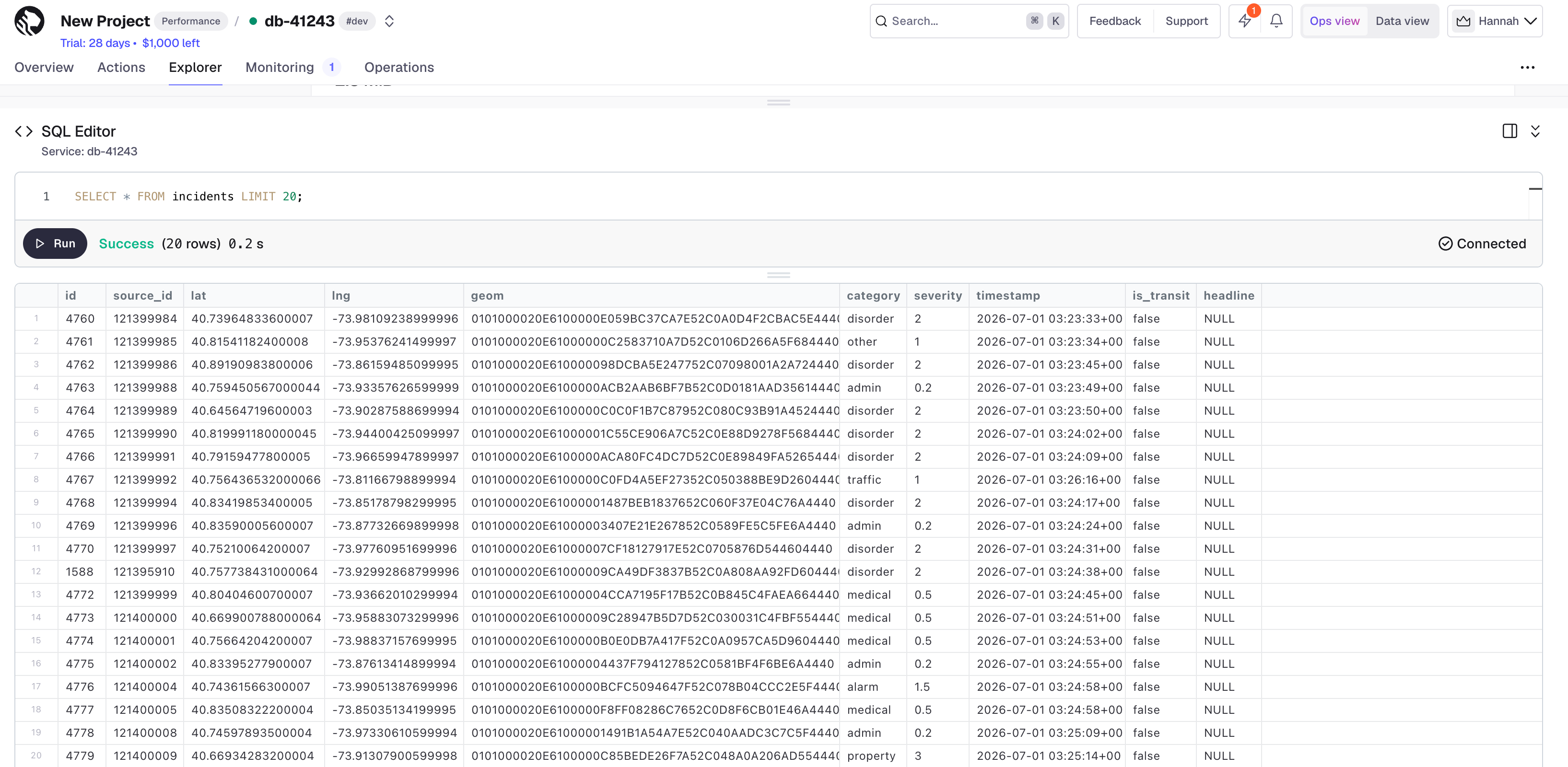
Tiger Data-based Database
Inspiration
On September 3rd, two people were fatally stabbed in Times Square, New York. Unaware of the stabbing, I Google Map-ped myself from Central Park to Bryant Park, and, unsurprisingly, the route included Times Square, the epicenter of crime at the moment. Our team was inspired by this incident to build an incident-aware map that, based on live crime alerts from the NYPD, helps the user choose the safest route home.
What it does
Safe Path is a React-based web app that significantly improves New York City resident safety through:
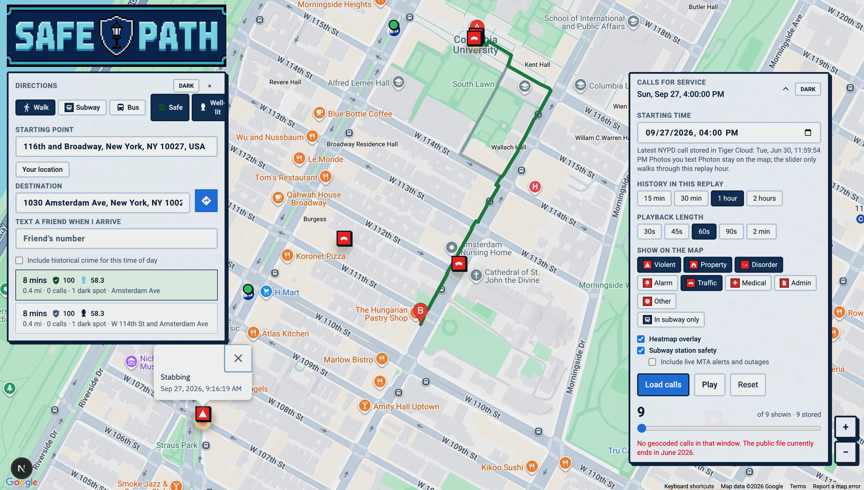
✅ Real-time crime alerts displayed directly on the map
🌐 Live rerouting based on the crimes nearby
💡Safety and street brightness scoring based on 15GB+ NYC Open Data
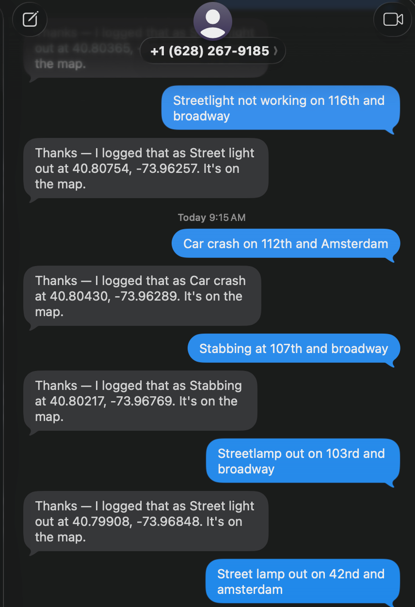
📥 Incident reporting chat enabled through Photon
📸 Image recognition via Open AI vision transformer
How we built it
Frontend: Next.js, React, TypeScript, Tailwind CSS, and Google Maps JavaScript API.
API: FastAPI, served by Uvicorn, with Pydantic for request and response models.
Backend: Python. FastAPI loads NYPD Calls for Service and NYC 311 Street Light Condition reports from NYC Open Data, then writes them into PostGIS.
Database: PostgreSQL with PostGIS.
Photon: A separate Photon Spectrum agent in photon-map can receive iMessage and log the received message to Tiger Data database.
Challenges we ran into
Integrating photon messaging and image recognition feature to update the map with latest crimes - specifically extracting the coordinates from the text message location to then put on the map
Accomplishments that we're proud of
Production-Ready Architecture implemented with Google Maps API in under 24 hours: Scalable codebase/intuitive UI with error handling
Live messaging support through Photon AI for crime logging
What we learned
As we started building the project, we realized how dangerous NYC is.
What's next for Safe Path
Mobile app: A native iOS and Android app so you can pull a safer walking route, report from the sidewalk, and check in with a friend without opening a laptop.
Live crime feeds: Stream current 911 / NYPD activity onto the map and into route scores, instead of replaying a historical hour.
On-the-go tracking: Follow your walk in real time, reroute around a new incident ahead, and auto-text your contact when you arrive.
Citywide coverage: Expand beyond the demo neighborhood to all five boroughs, with the same corridor scoring and citizen photo reports.
Safer together: Optional trusted-contact sharing so someone you choose can see that you are on your way home.
The goal is to make getting across the city at night feel informed and accompanied, a route that accounts for what is happening on the street, and a simple way to tell someone you made it.
Built With
- cursor
- fastapi
- photon
- postgresql
- react
- typescript


Log in or sign up for Devpost to join the conversation.