-
-
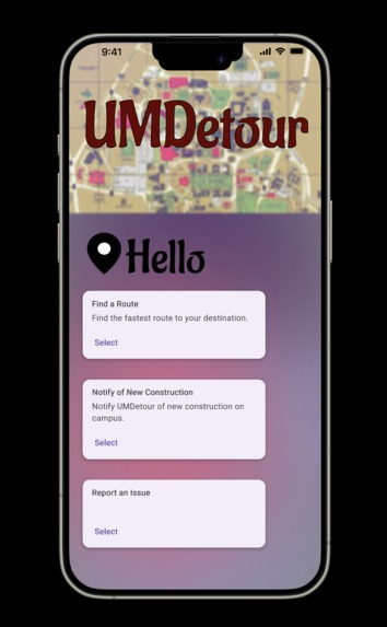
Opening Screen
-
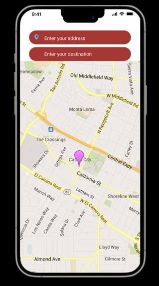
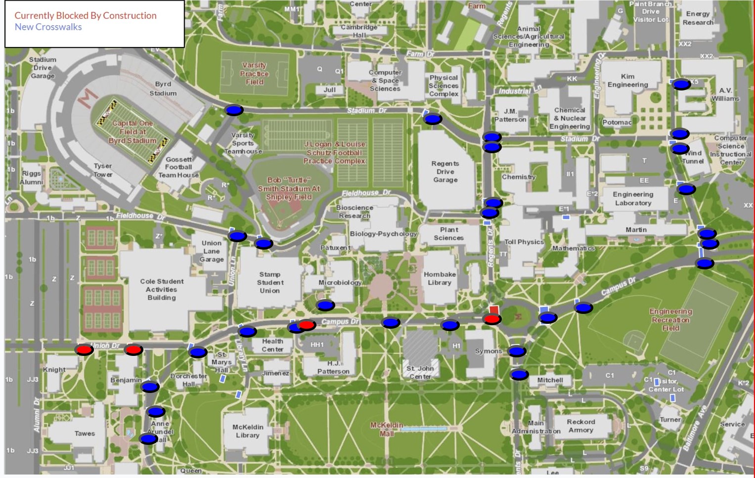
Map/Route Finder
-
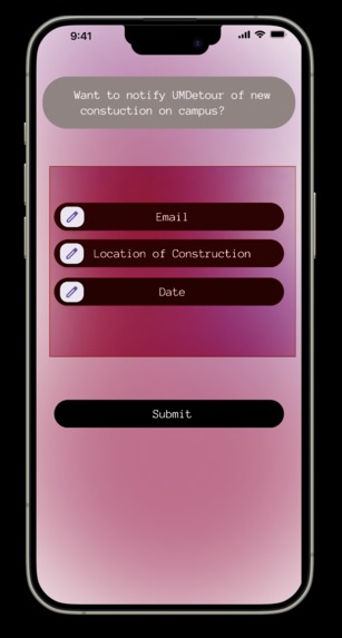
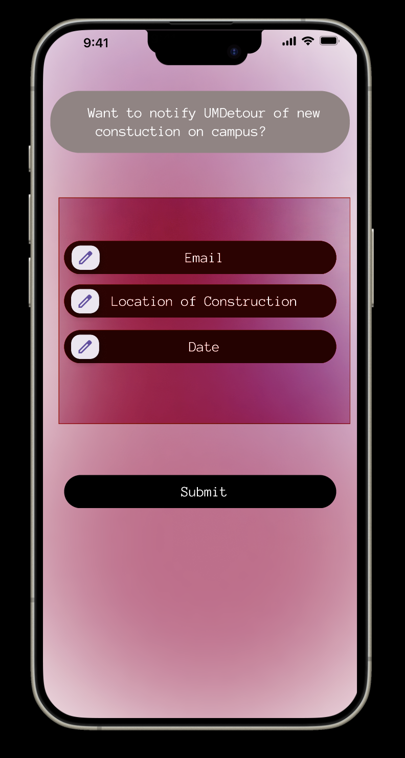
Student Reporting
-


Inspiration
We were inspired to create this project because of our personal experiences with this issue. Navigating campus amongst ongoing construction can cause frustrating delays in getting to important classes or other activities. We wanted to help students get around campus in an efficient and timely manner.
What it does
Our app has 3 main components. An interactive map that displays current construction zones, a student report feature that allows for the app to stay current, and a route finder that gives students the fastest route to their classes while factoring in detours.
How we built it
We built it through android studio by implementing the google maps API to get started, and then used the React app to demonstrate certain features.
Challenges we ran into
It was initially hard navigating android studio, as many of us weren't very familiar with it. We had to conduct our own research before beginning the project.
Accomplishments that we're proud of
We are very proud of completing most of the functionality and UI for our app, as it took a lot of research and commitment.
What we learned
We learned a lot about what skills are needed to build an app from scratch, and how crucial both the backend and front end work is.
What's next for UMDetour
We hope to complete the functionality for our app and fully develop it using android studio.

Log in or sign up for Devpost to join the conversation.