Inspiration
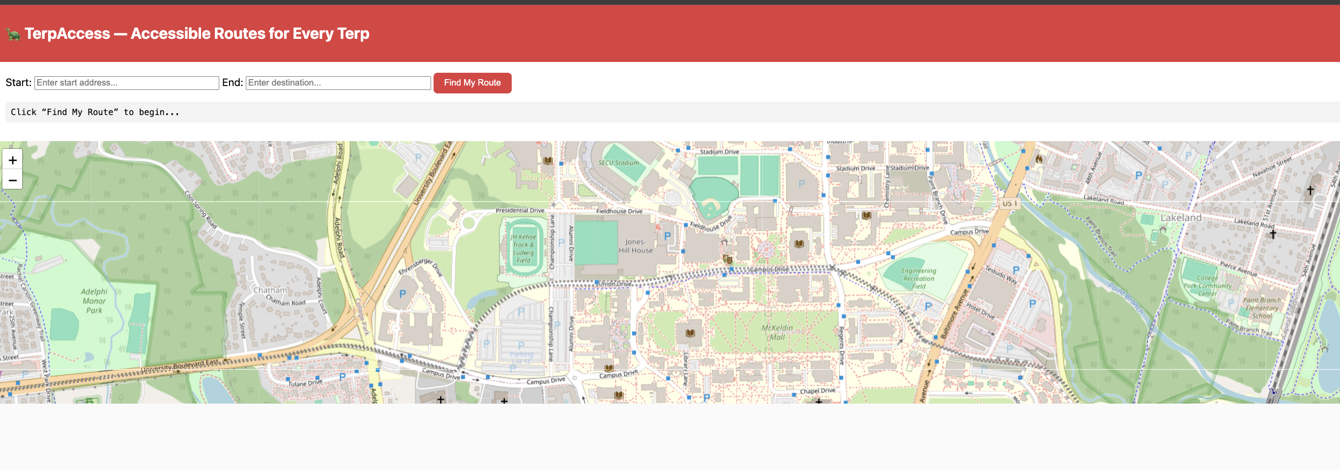
We noticed students typically choose from one of three maps to determine their routes, depending on their desired transportation mode: Google/Apple Maps, the official UMD Campus Map, and Shuttle UM on the Transit app. However, none of them provide all the functionality a UMD student needs: a route that is deemed optimal based on distance, elevation, and the presence or absence of bus stops and construction. Our app does all of the above.
What it does
It computes the three best routes by the four metrics above, and allows you to choose from three routes that include a mixture of optimization for accessibility and speed!
How we built it
We used node.js and a mix of APIs, including Open Source Routing Machine and Open-Elevation API.
Challenges we ran into
We had some unexpected github problems.
Accomplishments that we're proud of
Making something all of us would benefit from!
What we learned
How to use various APIs!
What's next for UMD Route Planner
Real-time data input!

Log in or sign up for Devpost to join the conversation.