-
-
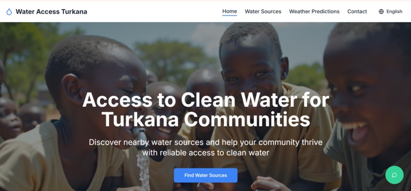
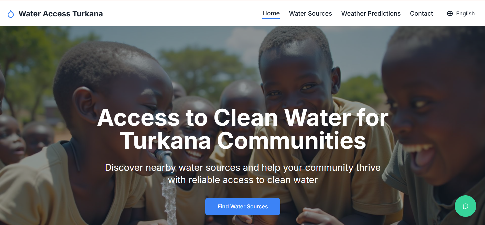
Hero section
-
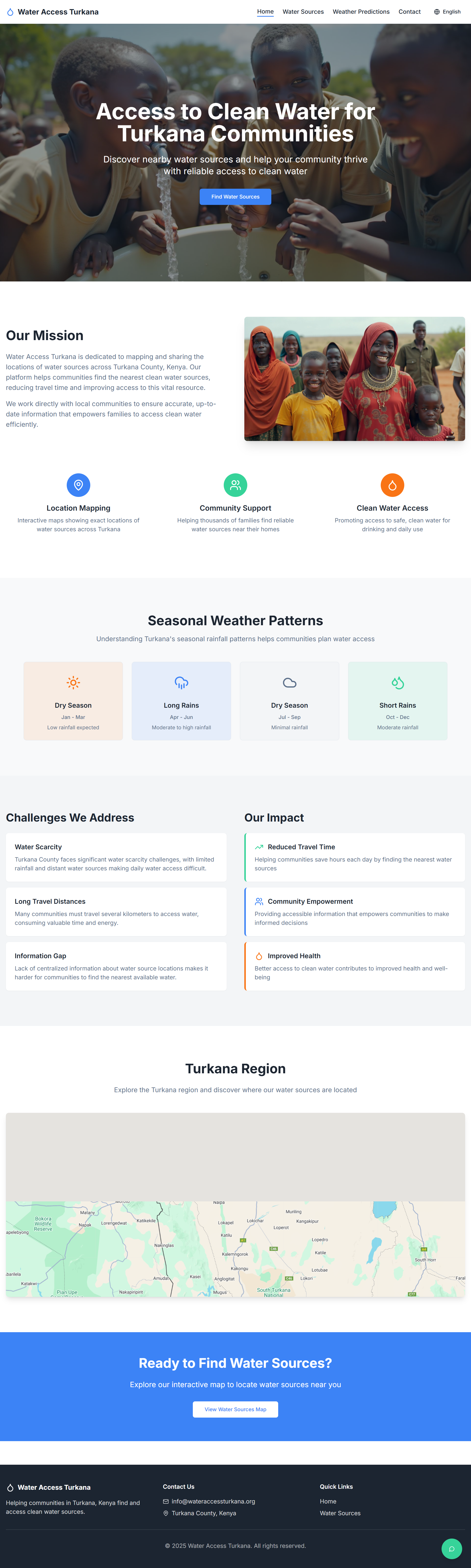
Home
-

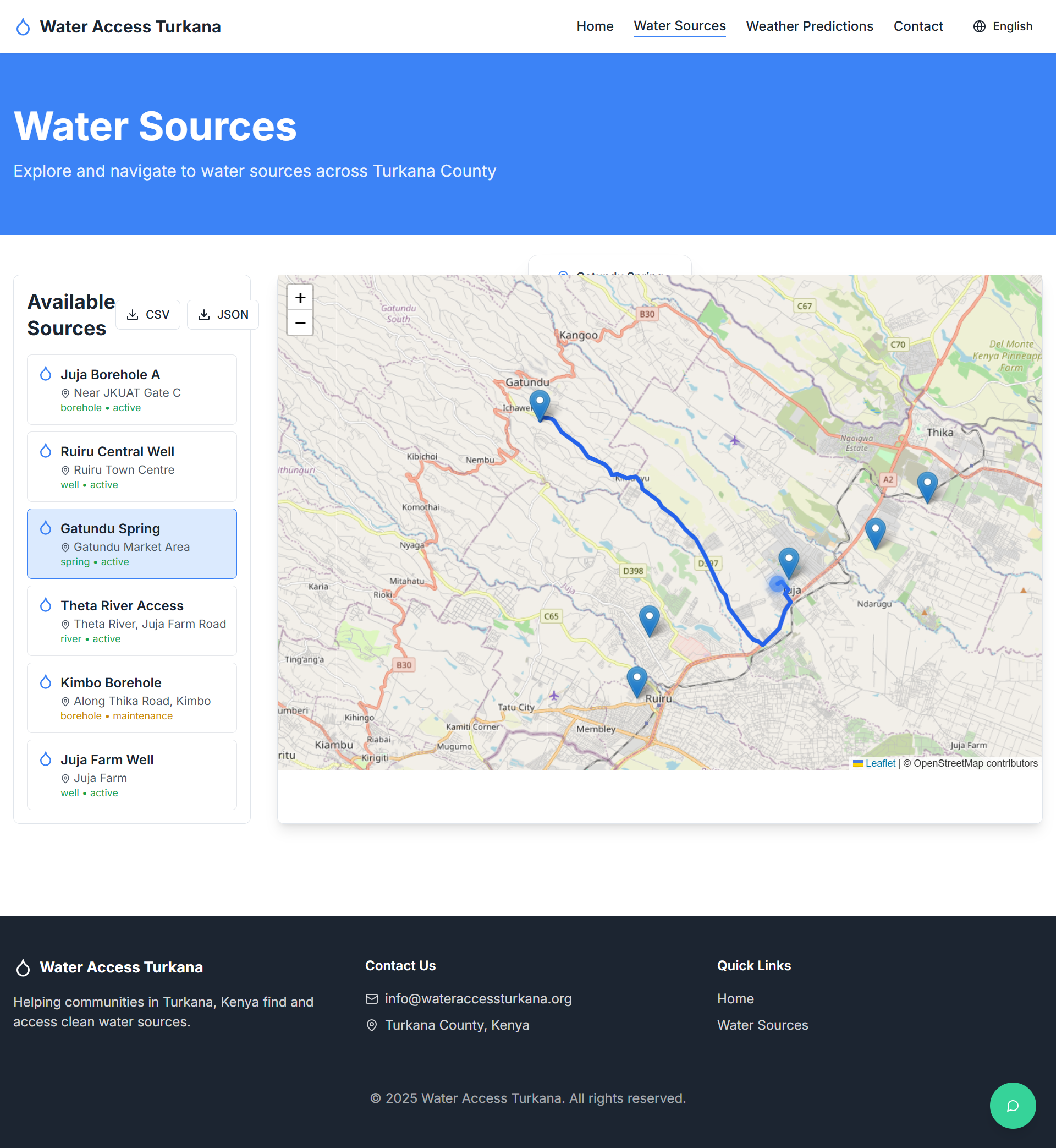
Water sources demo
-
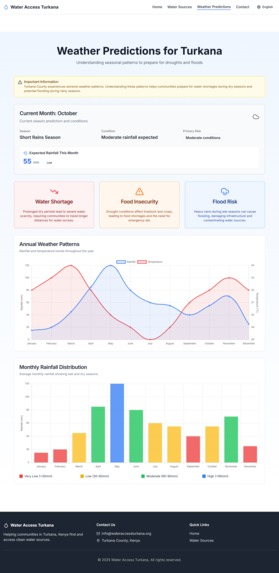
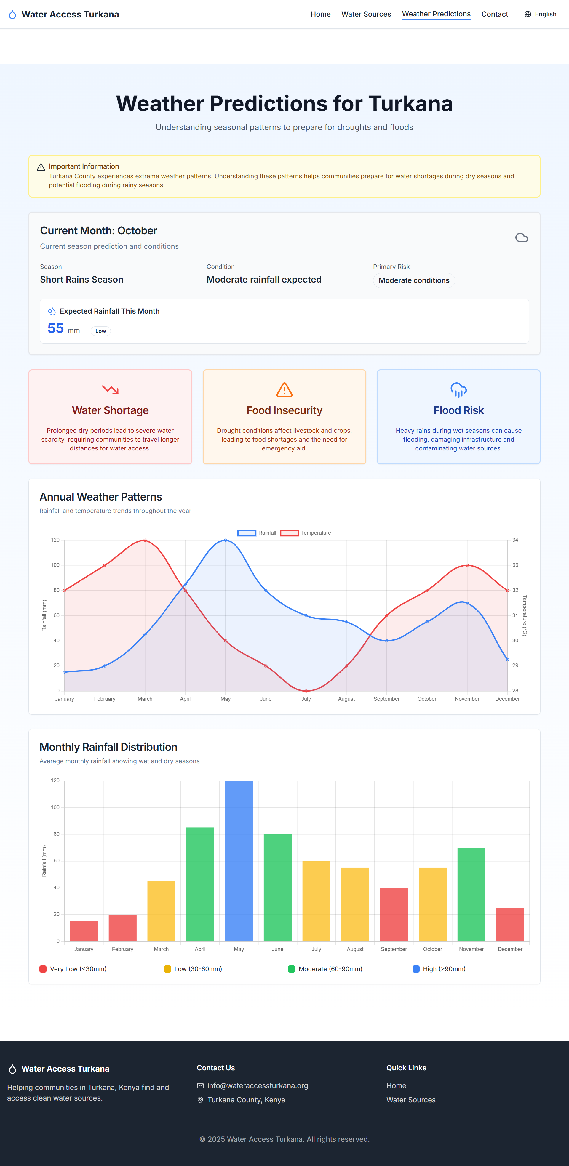
Weather predictions demo
-
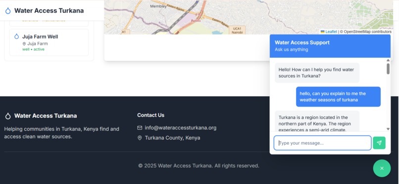
Chatbot demo

Inspiration
I was inspired by a TikTok influencer who has been helping people in Turkana and highlighting the long-standing challenges they face in accessing clean water. Water scarcity, inaccessible water points, and lack of reliable information have always been a problem for communities in the region. I wanted to build a solution that not only helps people locate water sources but also provides weather insights, local language accessibility, and real-time guidance. To enhance weather insights, I integrated the NASA POWER API, which provides climate data such as rainfall, temperature, and soil moisture. This allows the platform to predict droughts, floods, and rainfall patterns and issue timely warnings to help communities plan effectively.
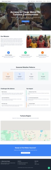
What it does
Shows all water points in Turkana (or demo locations) on a map. Provides directions to each water point using the user’s live location. Displays status of water points: available, under maintenance, or seasonal. Provides seasonal weather trends and drought/flood predictions using data analytics, ML, and NASA POWER API. Includes a chatbot that answers water- and weather-related questions and the wabsite text can update to languages such as Turkana, Kikuyu, Swahili, Kalenjin, Luo and English.
How we built it
Frontend: React, showing interactive maps, graphs, and chatbot. Backend: Django for API endpoints and integrating weather and routing data. APIs: OpenRouter for directions, Open-Meteo for weather data, NASA POWER for climate and prediction insights. Technologies: Machine Learning for weather predictions, AI chatbot for local language support.
Challenges we ran into
Limited data availability: Many water points are private or managed by NGOs, making it hard to get accurate info. Target audience tech literacy: Villagers may not be comfortable with search engines, so navigation is based on live location instead. Routing limits: OpenRouter only works within certain distances. Sparse climate data: Required integrating multiple sources and ML models to provide reliable weather predictions.
Accomplishments that we're proud of
Built a fully functional water point mapping system with status updates and routing. Integrated multi-language support for inclusivity (Turkana, Kikuyu, Swahili, Kalenjin, Luo, English). Added AI-driven weather insights and predictive warnings using NASA POWER and ML. Developed a chatbot for real-time guidance. Created a demo-ready platform that can be scaled to the Turkana region.
What we learned
The importance of user-centered design for non-technical users. How to integrate maps, routing APIs, ML, and chatbots effectively in one platform. Creative solutions for handling sparse and incomplete data while still providing actionable insights. How to combine multiple data sources (NASA POWER, Open-Meteo, OpenRouter) to improve prediction accuracy.
What's next for Turkana Water Connect
Expand live updates from NGOs and private water sources. Add offline mode for extremely remote areas with limited connectivity. Enhance chatbot intelligence for more detailed water and weather advice. Improve routing system for longer distances and accessibility across the entire Turkana region. Explore mobile app version to make access even easier for local communities.
Built With
- django
- nasa-power-api
- openrouteservice
- postgresql
- typescript


Log in or sign up for Devpost to join the conversation.