-
-

tua.hawk presentation slide
-
-
-
-
-
-
-
-
-
-


Urban infrastructure issues, like broken street ramps, damaged sidewalks, and inaccessible curbs often go unnoticed or underreported, heavily slowing down improvement efforts for people who rely on safe and accessible pathways.
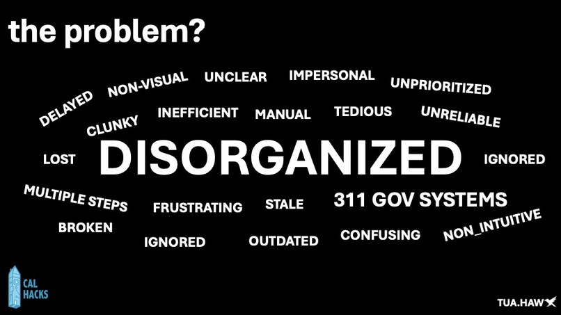
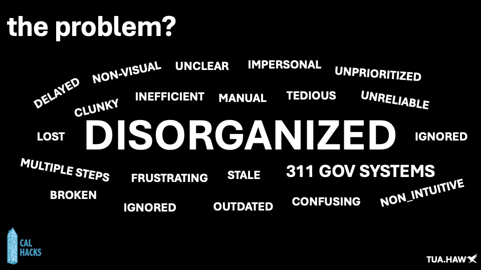
Reporting these issues are often frustrating, time-consuming, and rarely leads to action.
You are usually left to figure out which phone numbers or emails to contact, what forms to fill out, which websites to use, and how to comply with each city’s specific reporting guidelines and even after you have access to all this information, the reporting process itself is very time consuming, multistep and heavily convoluted.
How Urban Issues Are Usually Reported Today: 311 system require multiple steps, sometimes don’t allow photo uploads, and users rarely get updates Direct emailing to departments it's manual, not transparent, and easy for reports to get lost or ignored Calling city hall/public works Time-consuming and leaves no written or visual records
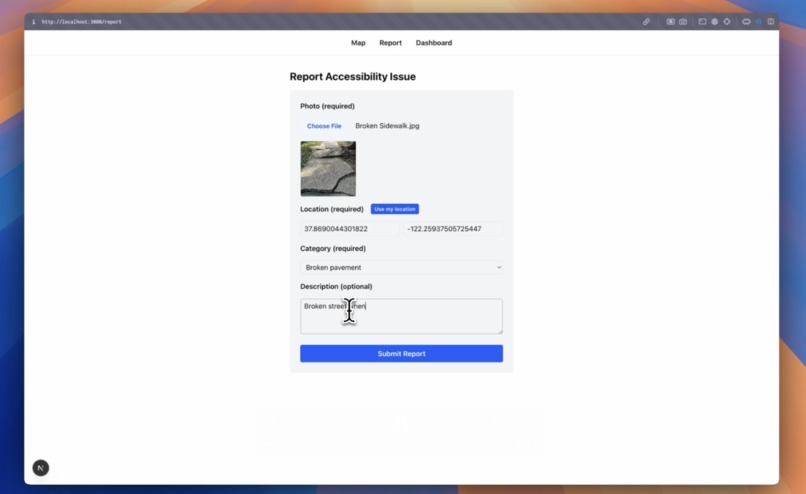
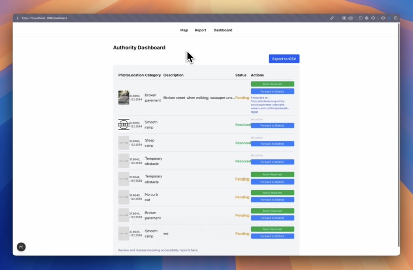
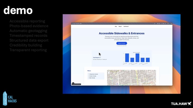
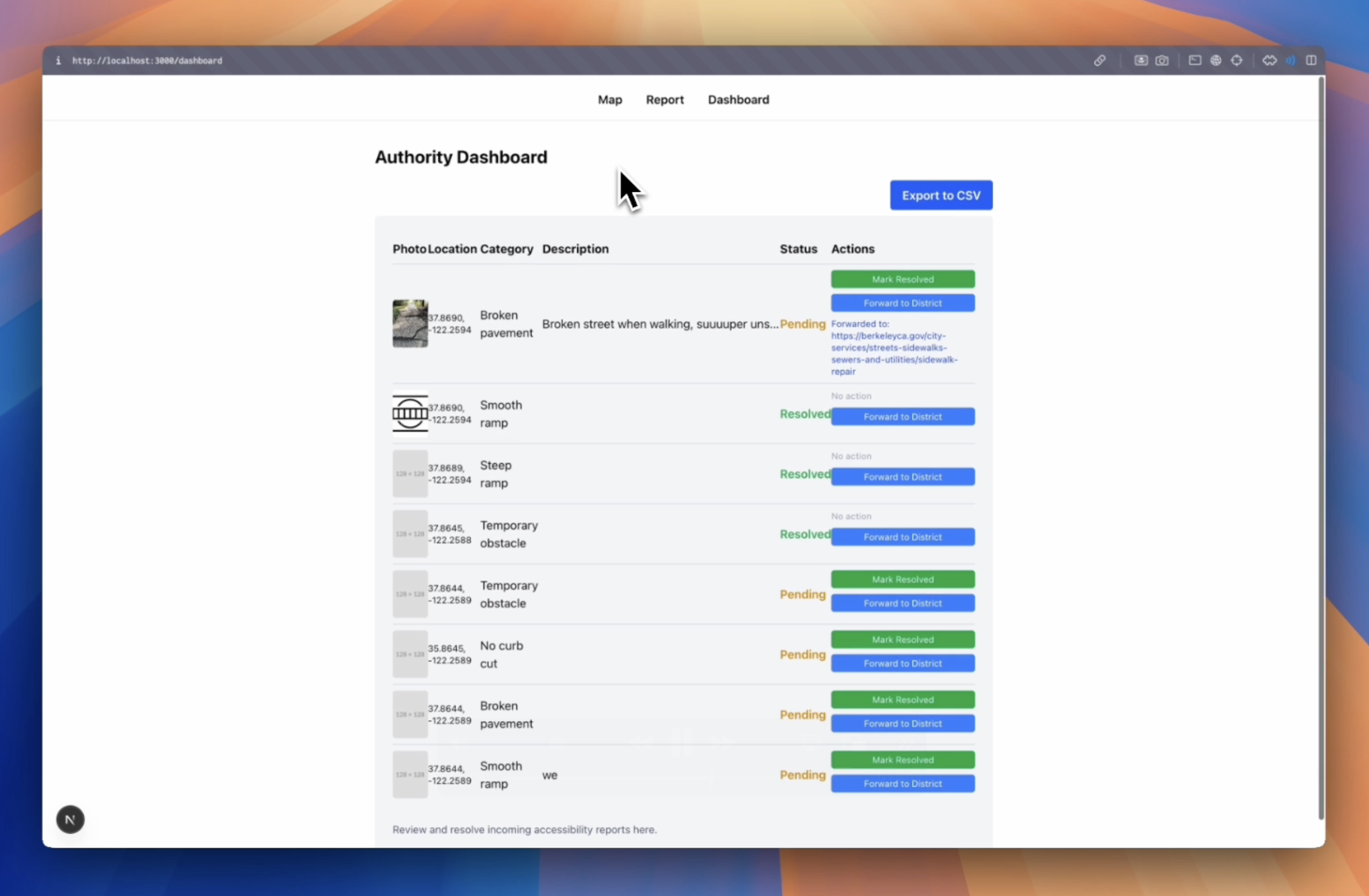
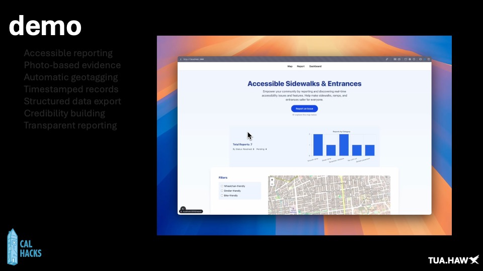
Our platform Tuahawk is a user-centric platform designed to make it simple and efficient for residents to document and report urban infrasturcture issues. With just a few taps, users can upload photos and descriptions of broken infrastructure. Each upload is geotagged, timestamped, and stored in a cloud data base that can be exported into a CSV—building a stack of credibility for users to present to local governments and advocacy groups
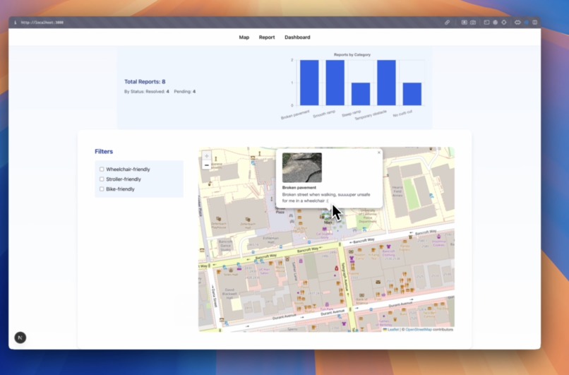
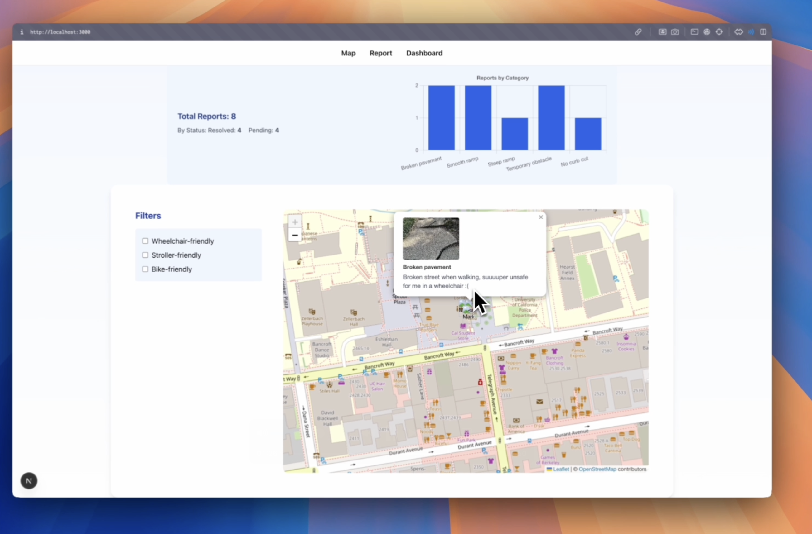
Our platform doesn’t just simplify reporting, it also gives users full transparency into what’s already been reported in their community. By making problem areas visible and easy to track, tua.hawk helps residents advocate for safer, more accessible streets
We streamline civic reporting, increase transparency, and empower users with credible, actionable data–helping cities respond faster, prioritize better, and build more inclusive public spaces.
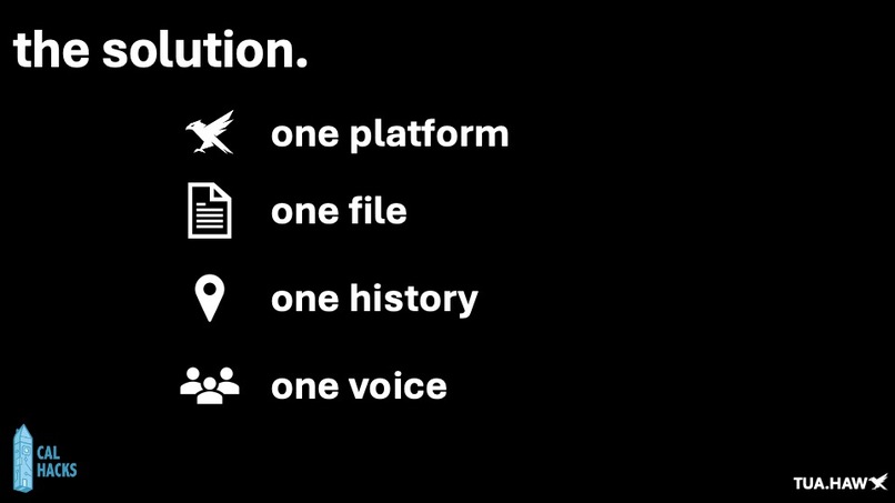
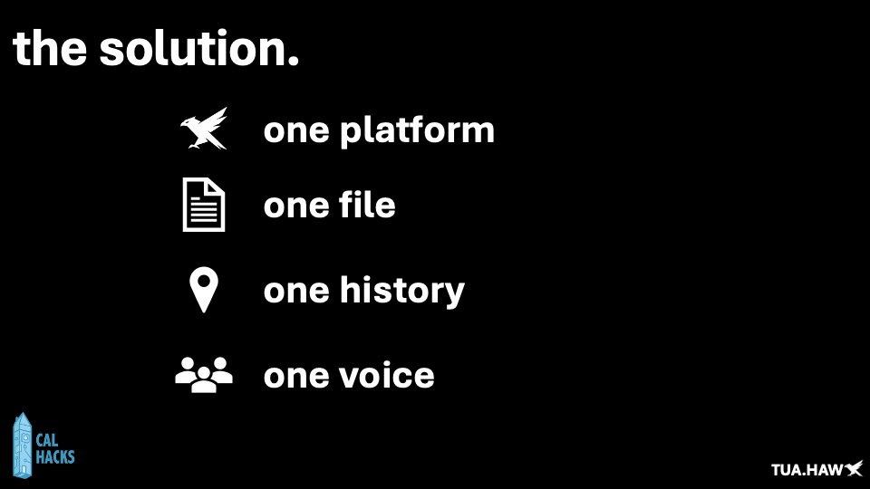
How HawkAIimproves this One platform for all issues—no guessing which department or form to use Bulk uploads and CSV exports make it easy for advocacy groups to present a full case Geotagged photos with timestamps increase clarity and urgency Users build a reporting history, adding weight to their voice over time City integration-ready—can be exported or linked to official systems (311, GIS, etc.).
Features: Accessible reporting Photo-based evidence Automatic geotagging Timestamped records Structured data export Credibility building Transparent reporting
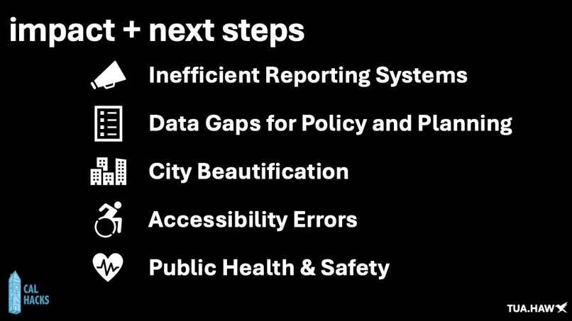
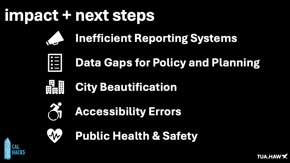
Problem solved: Inefficient Reporting Systems Replaces outdated emails, calls, and hard-to-use forms with one streamlined platform. Data Gaps for Policy and Planning Generates valuable, real-time data that cities can use for budgeting, planning, and infrastructure updates Reduces accessibility errors Identifies broken or missing ramps, blocked sidewalks, and other obstacles—critical for people with disabilities, seniors, and families. Public health & safety
Tauhawk is more than just data collection and accessibility, also creates lasting social changes
Built With
- anthropic-api
- axcore
- express.js
- mongodb
- nextjs
- node.js
- puppeteer

Log in or sign up for Devpost to join the conversation.