-
-
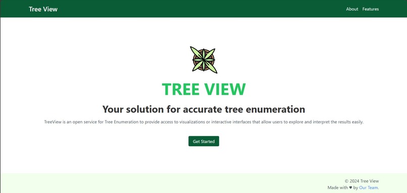
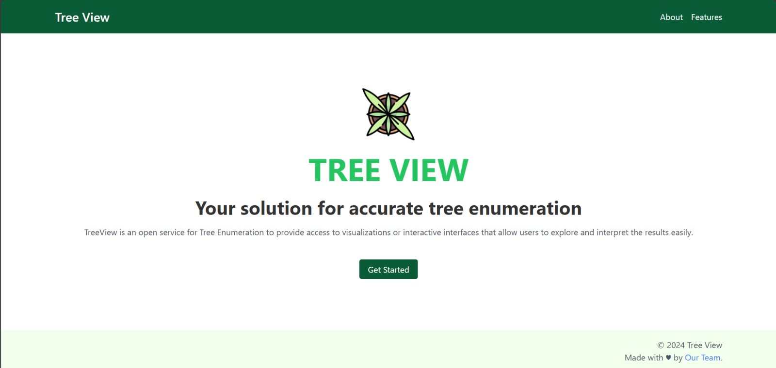
Landing Page
-
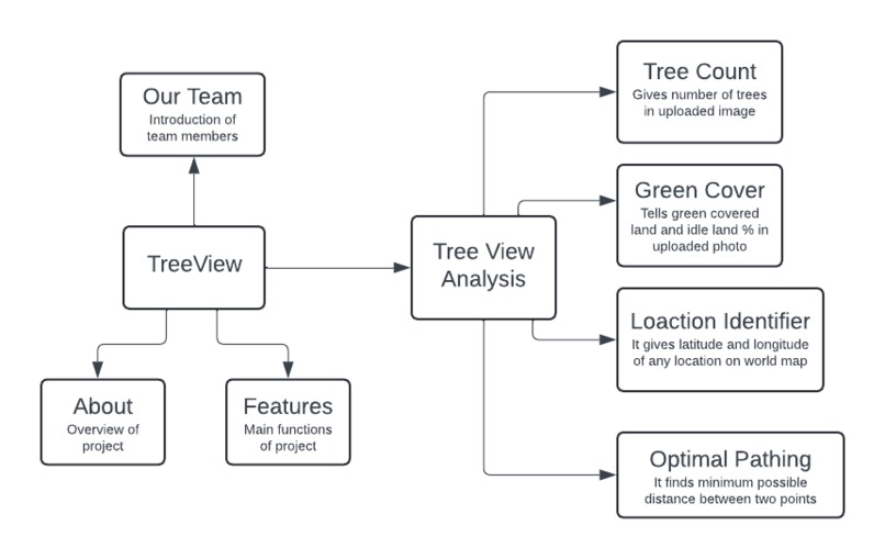
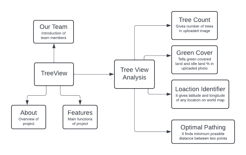
Flowchart explaining design of the project.
-
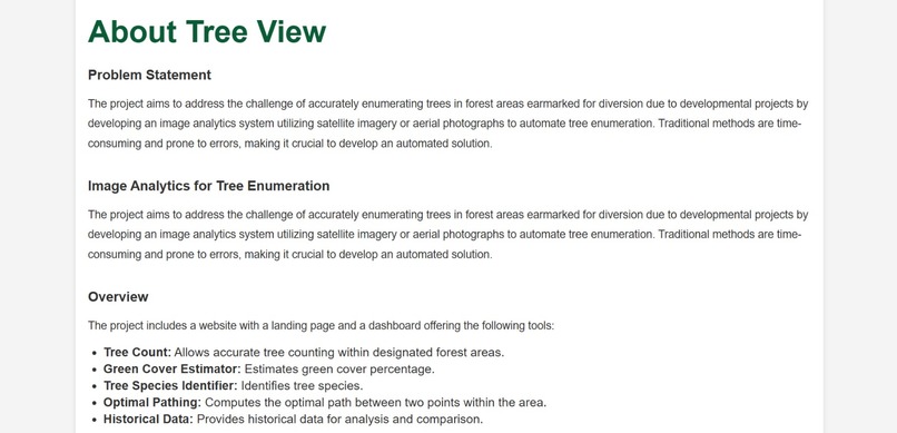
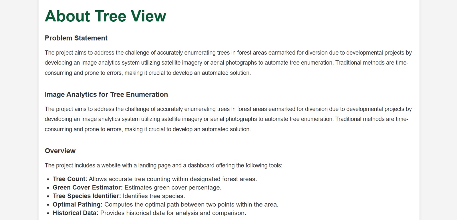
About Project
-
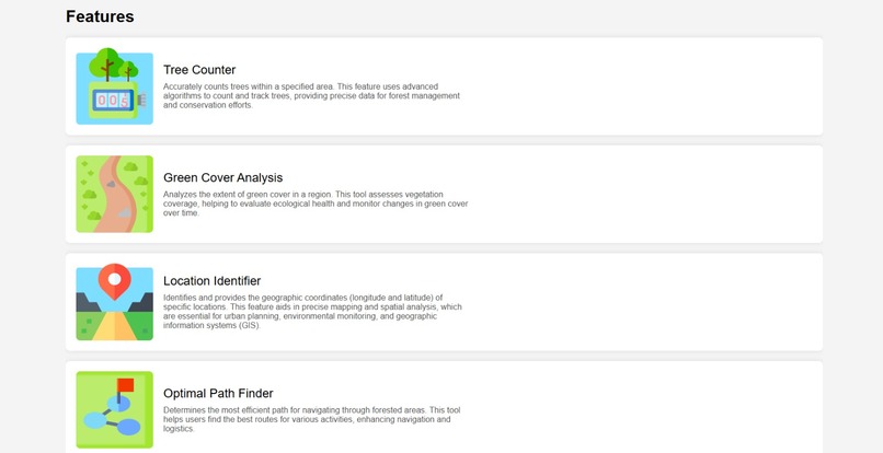
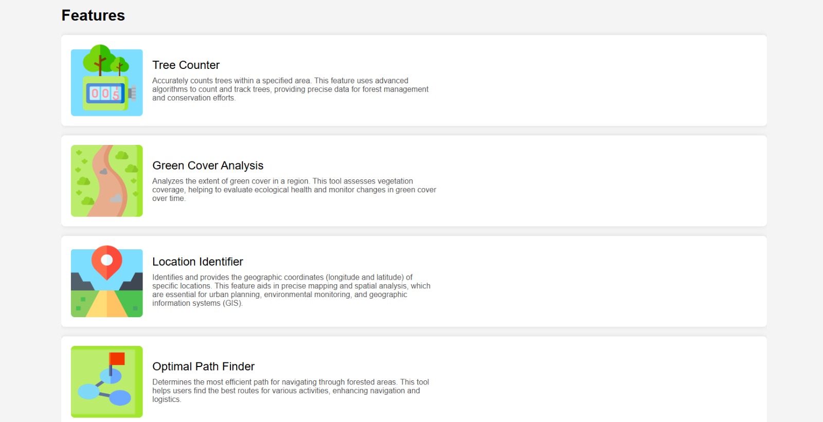
Features of Project
-

Team TechAura
-
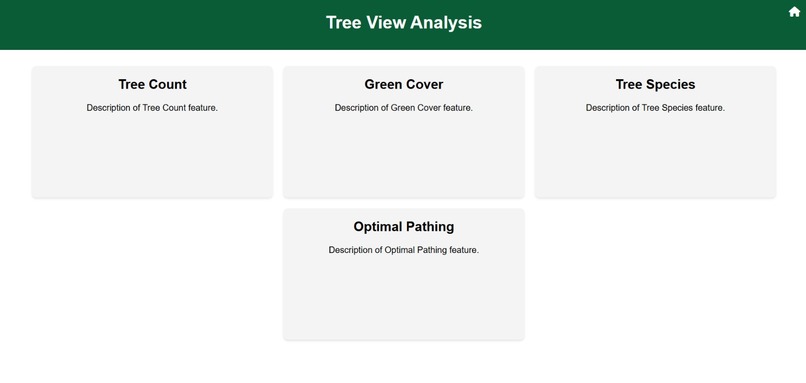
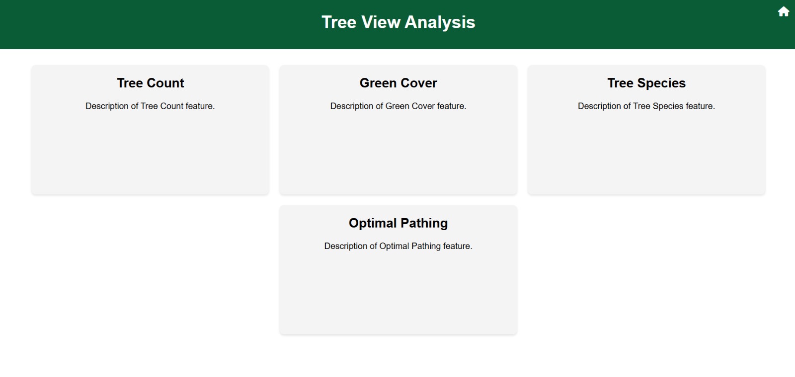
Dashboard
-
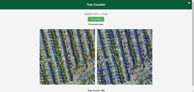
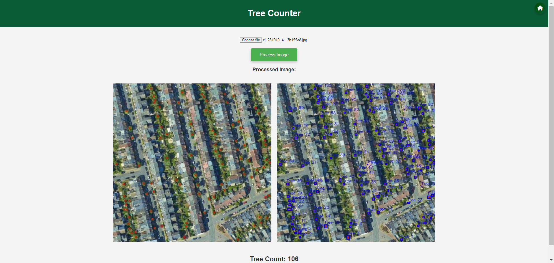
Tree Counter
-
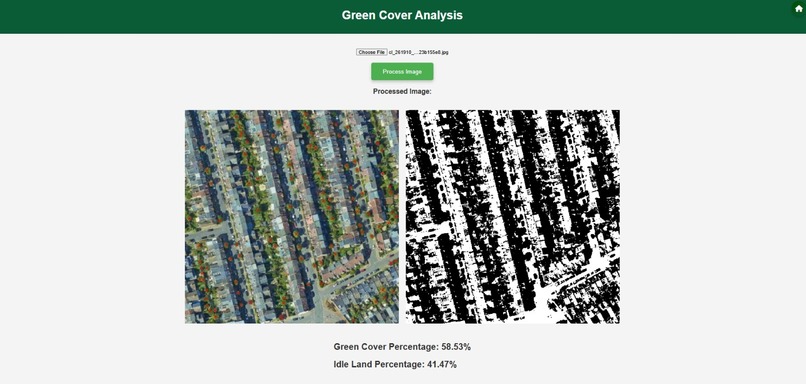
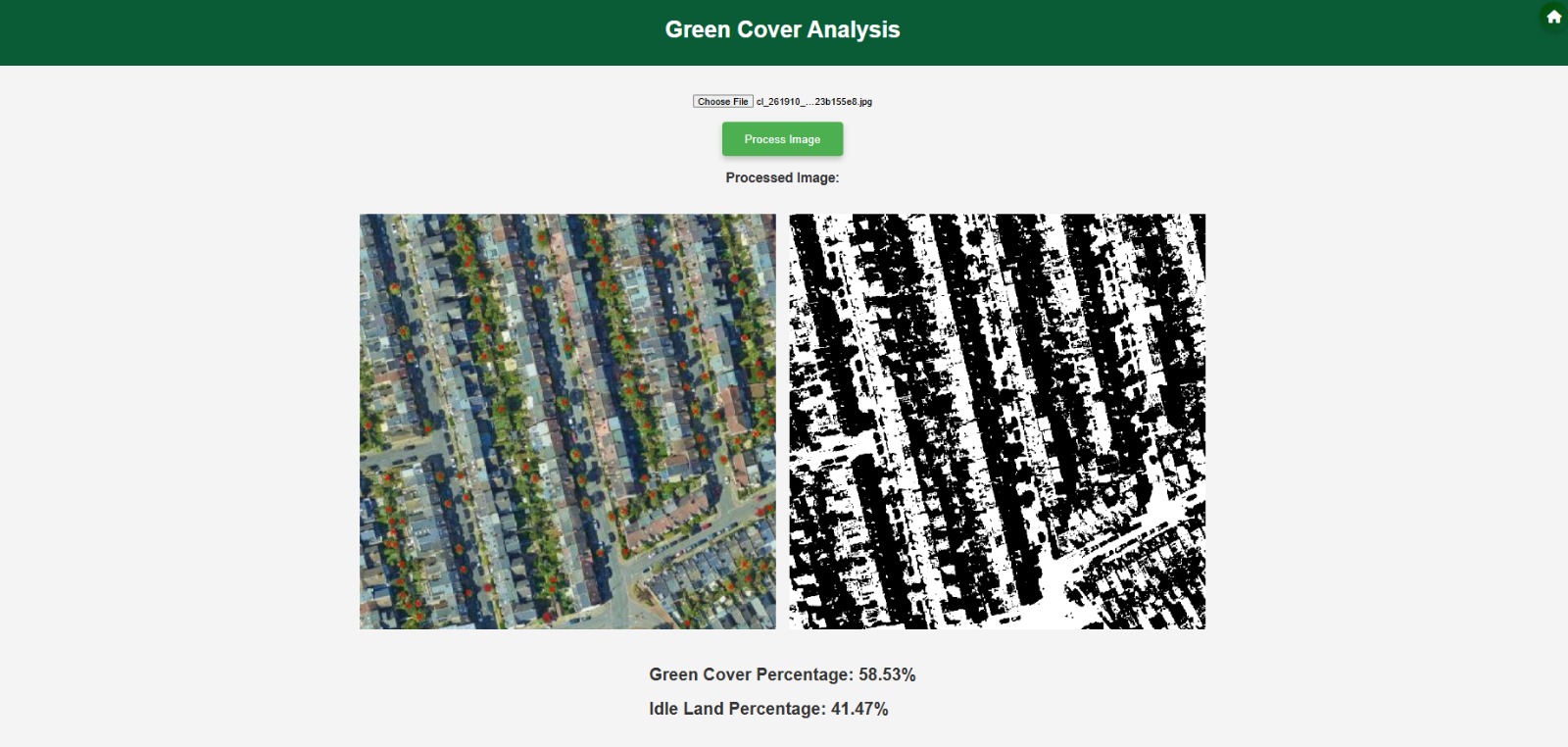
Green Cover Analysis
-
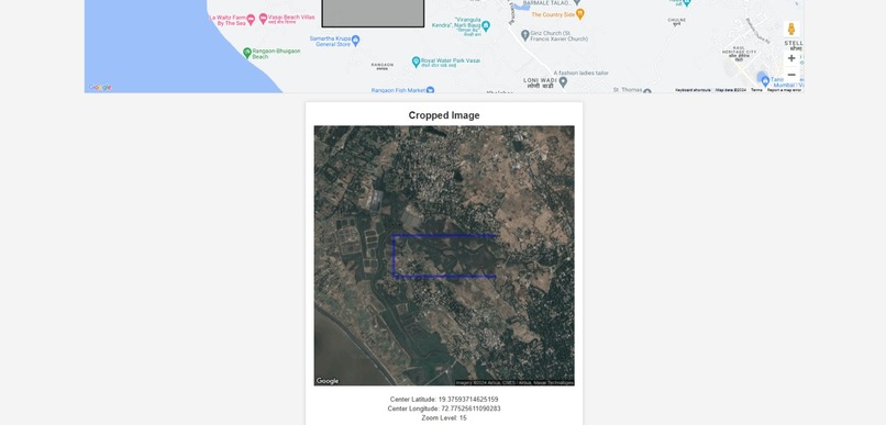
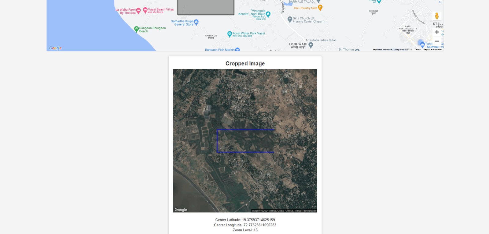
Location Identifier
-
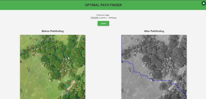
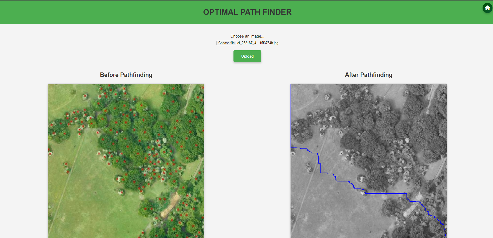
Optimal Path Finder

About the Project
This project aims to automate tree enumeration and categorization for forest land management using advanced image analytics and machine learning. By integrating user-generated satellite imagery and historical environmental data, the system provides valuable insights for project risk assessment and environmental impact evaluation.
Inspiration
The project was inspired by the need to streamline and modernize the current manual processes of tree enumeration, which are time-consuming, costly, and prone to errors. Recognizing the ecological impact of development projects, we sought to create a solution that supports sustainable land management and minimizes environmental disruption.
What It Does
Our system automates tree counting and categorization, reducing the need for manual surveys. It leverages advanced image analytics and deep learning to process and categorize tree data efficiently, incorporating user-generated satellite imagery for improved precision. The system also provides comprehensive historical environmental data to support informed decision-making.
How We Built It
We developed the frontend using HTML/CSS/JavaScript and the backend with Flask. For image processing, we utilized OpenCV, and for machine learning, we employed Python w
Challenges We Ran Into
Data Accuracy: Ensuring the accuracy of automated tree enumeration and categorization was challenging. We had to continuously calibrate and validate our models against ground-truth data. Integration: Integrating various technologies and ensuring seamless communication between the frontend, backend, and external APIs required significant effort. User Training: Designing an intuitive interface with minimal learning curve while providing comprehensive training materials was essential to ensure user adoption. Accomplishments That We're Proud Of Successfully reducing tree enumeration time by up to 60% and costs by up to 40%. Achieving high accuracy in tree categorization, with a 30% reduction in false positives and negatives. Developing a user-friendly system that incorporates advanced image analytics and deep learning. What We Learned The importance of continuous validation and calibration to maintain the accuracy of automated systems. The value of integrating comprehensive historical environmental data to support better decision-making. The need for user-centric design to ensure ease of use and adoption.
What's Next for Our Automated Tree Enumeration System
Tree Species Detection: Implement advanced machine learning models to accurately detect and classify tree species, enhancing biodiversity monitoring. Historical Data Integration: Provide comprehensive historical data (rainfall, temperature, humidity, AQI, soil pH) for in-depth analysis and decision-making. Advanced Analytics: Integrating predictive analytics to forecast environmental impacts and optimize land use. Expanded Data Sources: Incorporating additional environmental data like biodiversity indices and carbon sequestration rates. Mobile App Development: Creating a mobile app for field personnel to access and update data on-the-go. Community Engagement: Developing features for community participation in data collection and environmental monitoring. Policy Advocacy: Collaborating with policymakers to mandate the use of advanced tree enumeration tools in development planning. Continuous Improvement: Investing in R&D to enhance system capabilities and adapt to emerging technologies and methodologies.

Log in or sign up for Devpost to join the conversation.