

Inspiration
We use google maps almost every day and wanted to travel smarter and more eco-friendly. Other apps require you to track your travel behavior in addition, which creates an extra step a lot of user do not want to go.
What it does
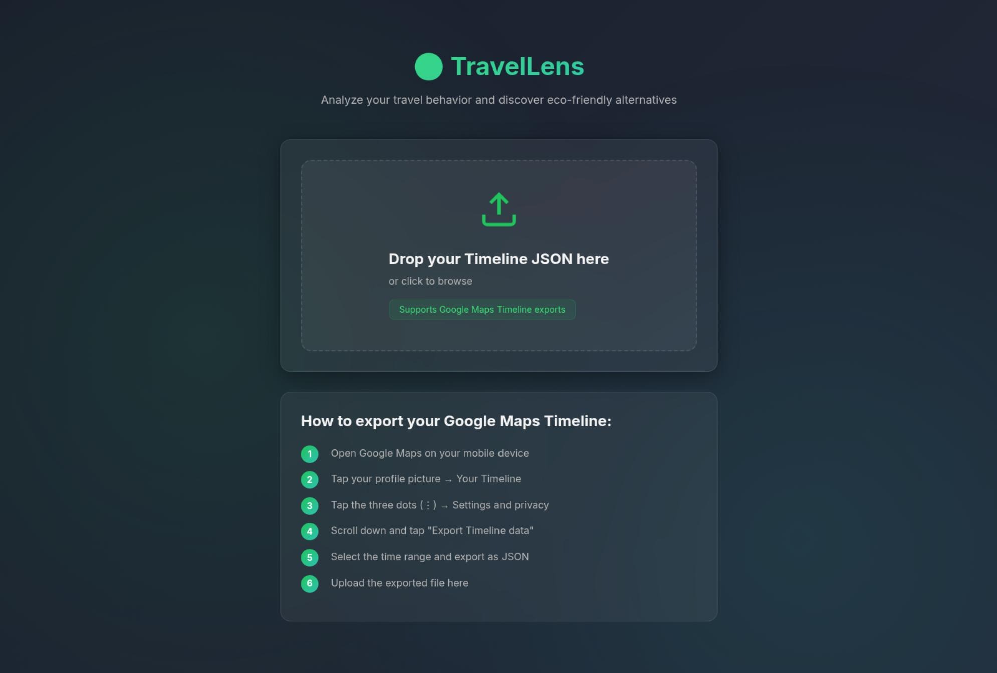
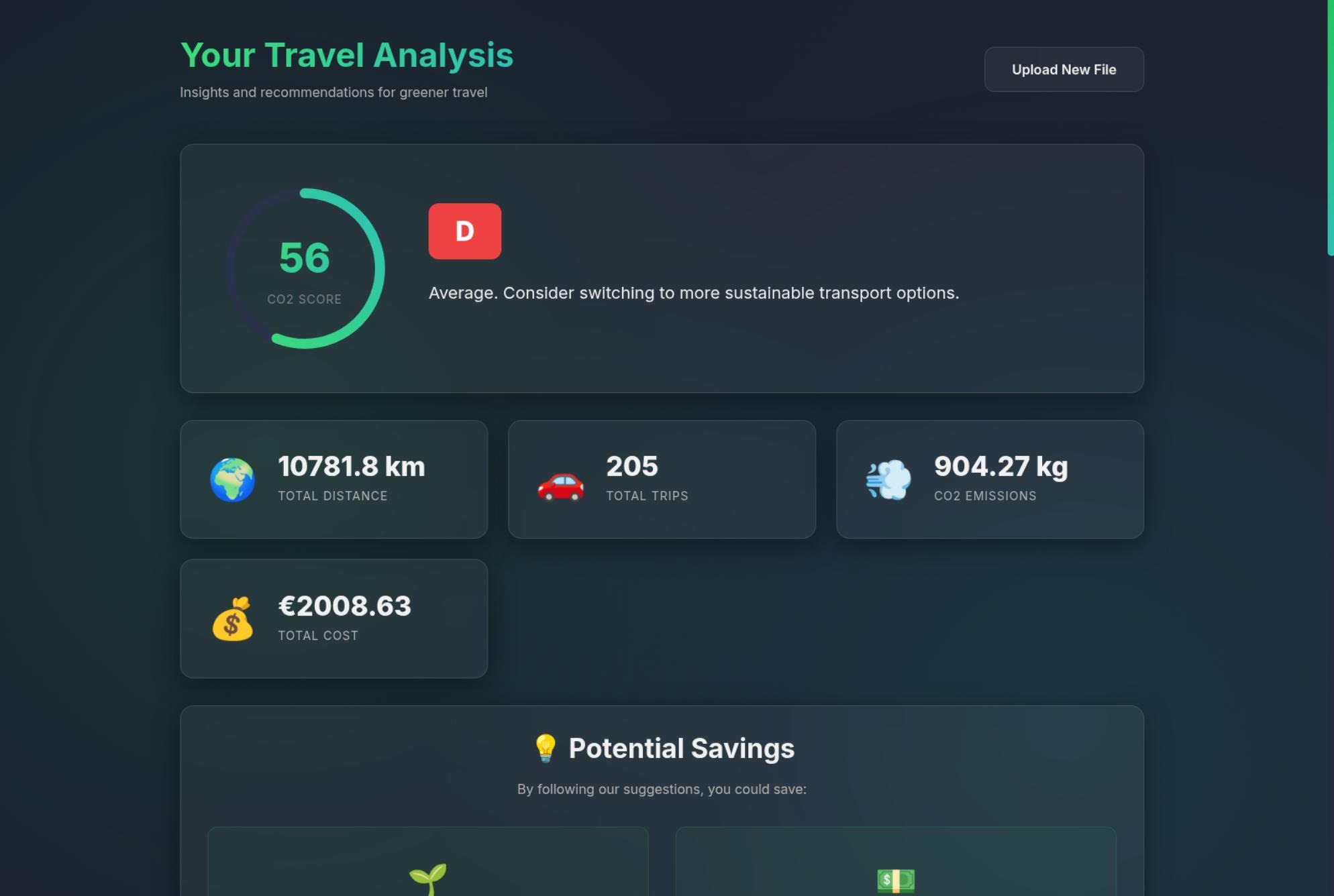
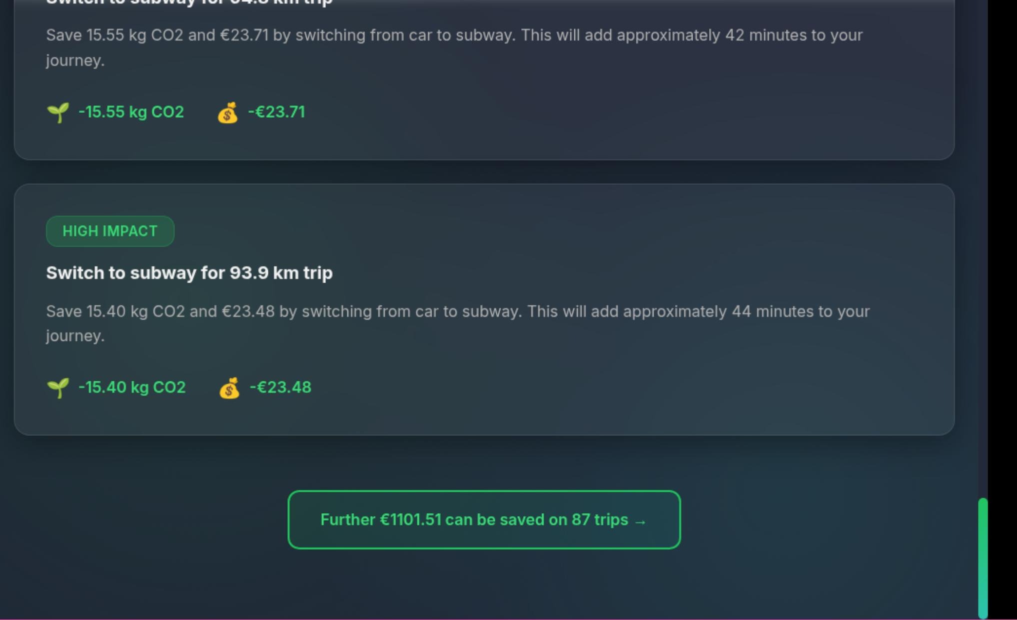
With TravelLens you can analyze your travel behavior with your existing google maps timeline data which you use every day. It suggests new and smarter ways to travel every day, save CO2 emissions and maybe even money or time.
How we built it
Using Antigravity to generate a Angular Frontend and a Java Backend. Extract timeline data from Google Maps.
Challenges we ran into
How to calculate CO2 emissions.
Accomplishments that we're proud of
Basically, taming the data: Analyzing big JSON files, extracting important information and incorporating them into our architecture.
What we learned
Having a better understanding of the Google Timeline data. Extending our knowledge of AI programming tools.
What's next for TravelLens
Find better ways to import data instead of needing an export every time. Direct integration into google maps. Improve suggestions with real route from Google Maps API.

Log in or sign up for Devpost to join the conversation.