Inspiration
While interviewing students at UCSC, we found a reoccurring problem: public transit. Specifically, many students were not satisfied with the latency and accuracy of existing navigation tools such as Google Maps. Personally, as guests of UCSC, we also had trouble navigating the campus with public transit. By offering students with better navigation tools, it can help them become better accustomed to the campus. Additionally, a better transit experience allows students to arrive to class on time, and it gives them access to more work-study opportunities, internships, etc.
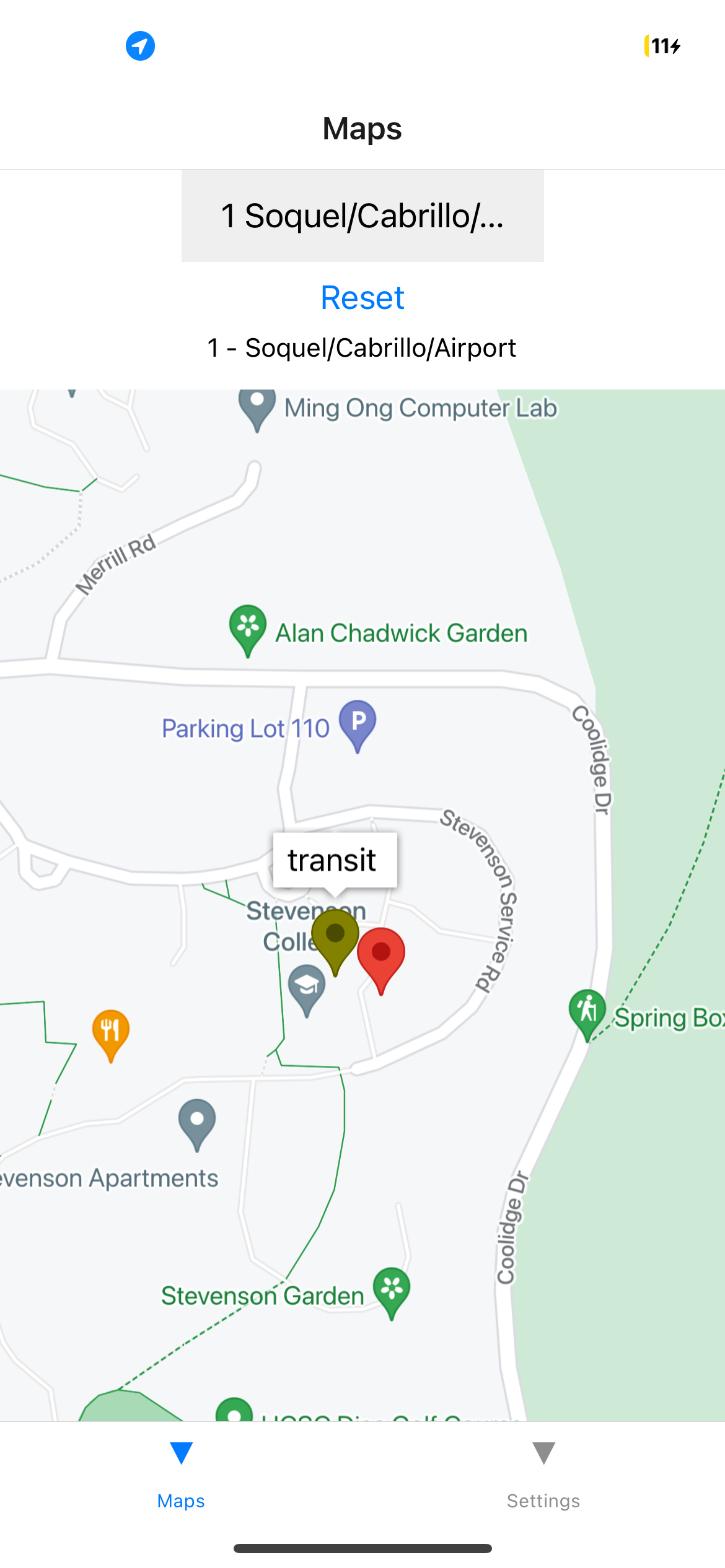
What it does
Transit Track provides accurate data on bus stops and locations with much better latency than Google Maps.
How we built it
We built this app using React Native, Express.js, and Google Maps.
Challenges we ran into
We ran into issues with configuring Tailwind since the library we tried to use ended up being deprecated. Scraping the data for public transport proved difficult as we wrestled with the GTFS format for hours.
What's next for Transit-Tracker
With our scalable backend design, we can see Transit Track being implemented across the globe effortlessly.
Built With
- express.js
- google-maps
- mobility
- neon
- postgresql
- reactnative
- render

Log in or sign up for Devpost to join the conversation.