-
-
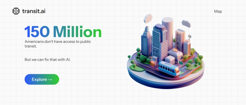
Home page.
-

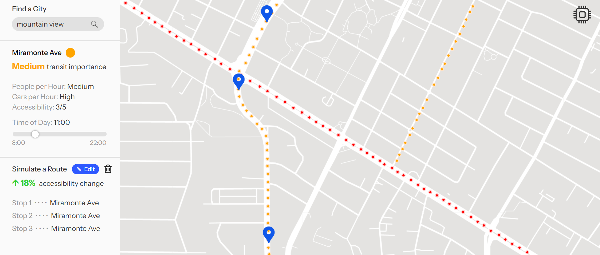
Map page.
-
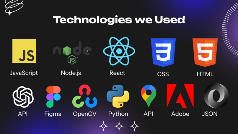
Tech stack.

Inspiration
As advocates for a more inclusive future, we believe that the lack of accessible public transportation in the United States is one of the most significant social issues of our time. We were inspired to create Transit.AI as a tool to motivate both civil planners and citizens alike to begin learning more about the positive impact of new transit by providing them with easy-to-understand data about their city.
What It Does
Transit.AI provides users with a simple interface to monitor the effects of transit plans in their community. It shows a map that highlights areas that need more public transit based on intelligent data analysis of traffic conditions, density, business flow, etc. You can also look at current pedestrian and motor vehicle traffic throughout the day of all the streets. Additionally, you can simulate placing transit stops at specific locations, and instantly see the estimated impact on accessibility. This allows city planners to learn about the optimal locations for new transit projects, and for citizens to better understand how transit can support their commute.
How We Built It
We used React.js to build the frontend of the website. Our traffic data was retrieved from municipal records, and is processed with various technologies, including JavaScript and Python scripts, OpenAI API, OpenCV, and Google Maps API to create visualizations and determine qualitative metrics for street accessibility and transit importance that we display to users.
Challenges
We had some difficulty refining our project idea and creating design concepts. We spent quite a bit of time early on working through page layout ideas before deciding on the final iteration. Ultimately, we are very happy with the look of the website.
Accomplishments
We are happy with the final aesthetic of the website, including the minimalist street map view. We particularly like the user interface of the transit stop editing and viewing modes. We are also glad to have had the opportunity to learn about and apply new technologies for the project.
What We Learned
As a team we all learned a lot about front-end design and UX. We each improved our skills with Figma significantly. Additionally, we all delved into areas new to us, and all contributed to both the backend and frontend efforts.
What’s Next
In the future we hope to improve Transit.AI by expanding to a more detailed and customizable map. To do this, we will improve our traffic records collection methodology, possibly by working with local governments to access their civil databases. Updates to Transit.AI may also include the ability to redesign and reroute portions of streets to observe the accessibility impact of construction projects.

Log in or sign up for Devpost to join the conversation.