

Inspiration
As a student wanting to dabble more in the iOS field, I wanted to teach myself how to use the Google Maps SDK. Since I had some experience working in iOS development already, I decided to go with the iOS platform to complete my project. As I ideated different projects that I could use the Maps SDK for, I came across The Canadian Open Data Exchange's database challenge. Immediately, I became encouraged at the thought of building an app that could be widely distributed and used among a city's population during the most festive times.
What it does
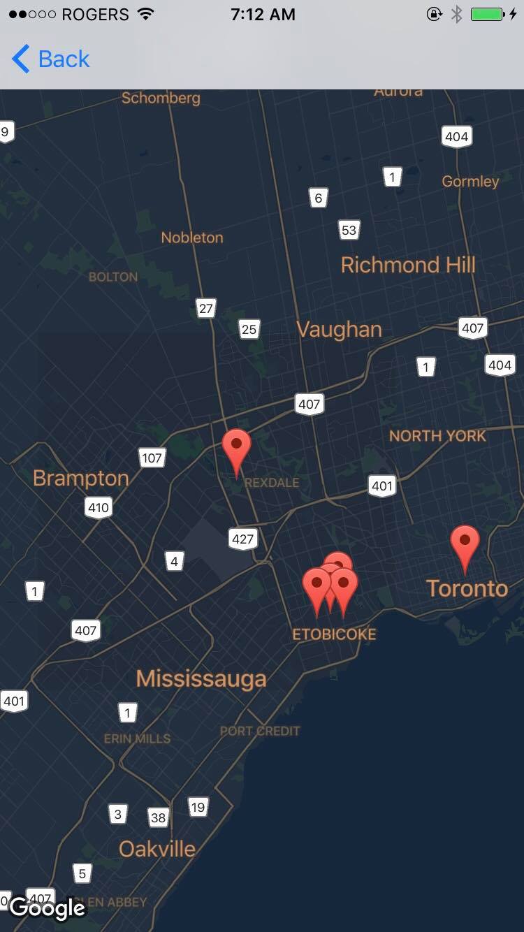
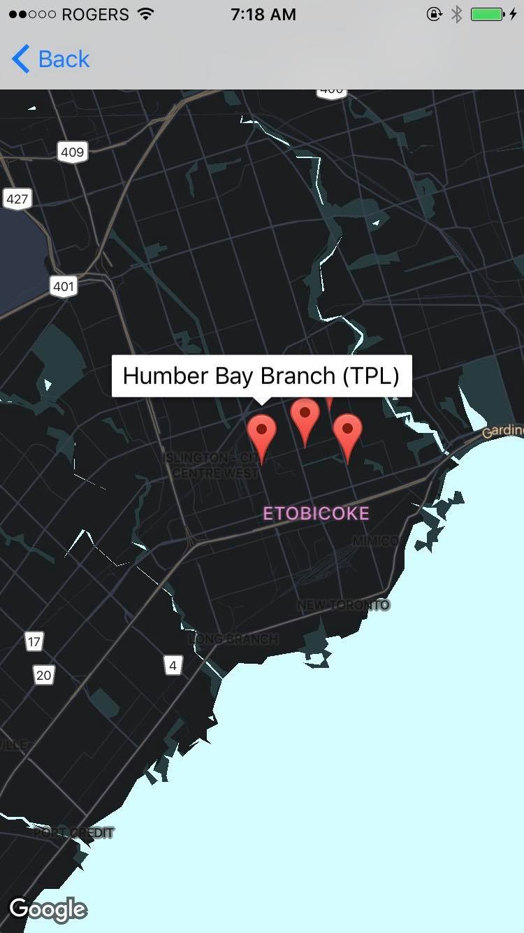
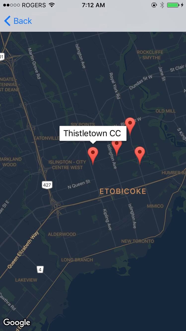
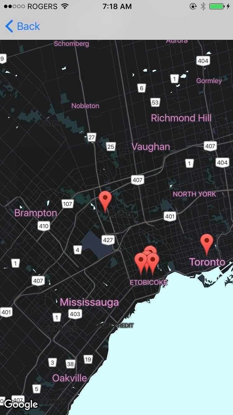
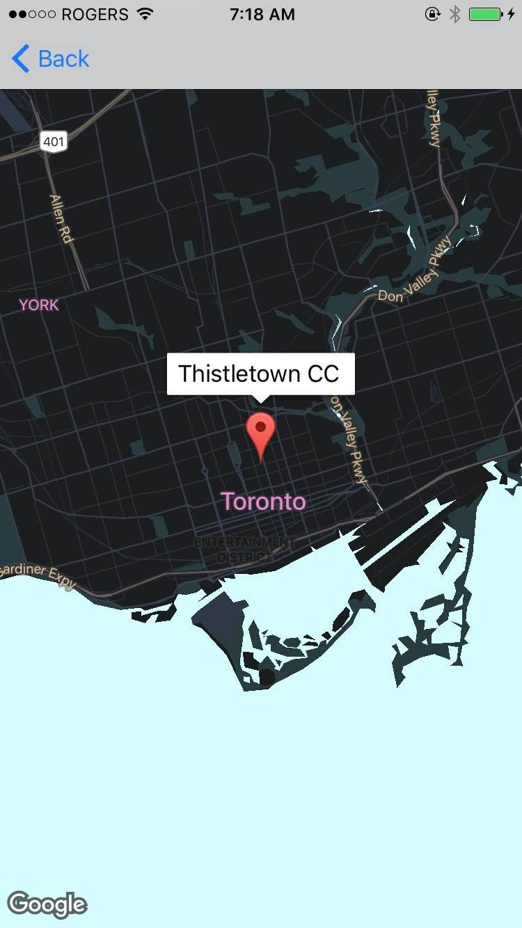
The app is simple yet very useful - upon first tapping the "view facilities" button, the user is directed to a map where all the cultural facilities of Toronto are shown using prominent red markers. They can then tap on each marker to view the details of each facility.
How I built it
I utilized Google Maps SDK for iOS in order to display the map. I then programmed the style of the map, as well as the placement of the facility markers, by utilizing an Excel database of cultural facilities retrieved from the Toronto Open Data Portal. Converting the database into .csv and then .json files, I utilized the now-organized data in XCode to place markers of facilities in different coordinates in Toronto by parsing the files and generating latitude and longitude coordinates.
Challenges I ran into
Because it was my first time programming using the Maps SDK, I took a while to get adjusted. After spending 1 and a half days ideating for different projects and studying the SDK usage, I was about to give up on creating such a complex project. However, in the end, I persevered and completed the app - and as simple as it is, I am satisfied.
Accomplishments that I'm proud of
I created a functional app that could potentially help hundreds of residents in the city with their weekend and special-occasion event planning.
What I learned
I learned how to use the Google Maps SDK , as well as furthered my knowledge of iOS programming.
What's next for Toronto Culture Tour Map
Although tentative thoughts, I may add more features, such as displaying more than 1 set of data, categorizing the facilities' dataset by popularity, or redirecting the camera to more places of large amenity populations.
Built With
- cocoapods
- google-maps
- ios
- open-data
- swift
- toronto-open-data
- xcode

Log in or sign up for Devpost to join the conversation.