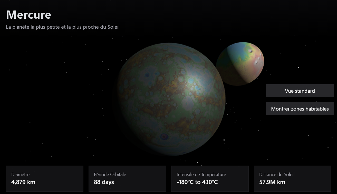
This project consists of analyzing topographical maps of planets and by that deduce regions in which infrastructures can be eventually be built with the right technology. This showcases the ability to take in data from an image and convert it to a map of suitable and unsuitable area for infrastructures using pixel detection and neighboring points with similar elevation.
This project was made during PolyHacks 2025 with the help of the Lovable artificial intelligence. (https://lovable.dev/) Topographical data were taken from open sources. worked on the project
Built With
- css
- lovable
- react
- shadcn-ui
- tailwind
- typescript
- vite

Log in or sign up for Devpost to join the conversation.