-
Tolon Traffic Cameras
Inspiration
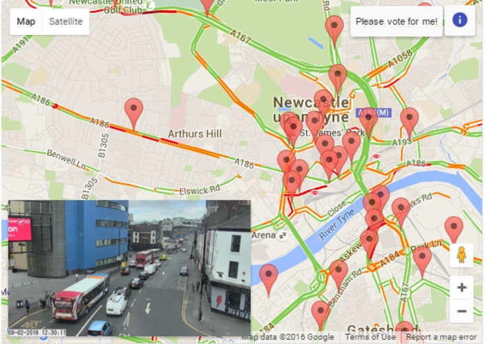
Inspired by the desire to see the state of a road when Google shows it as congested.
What it does
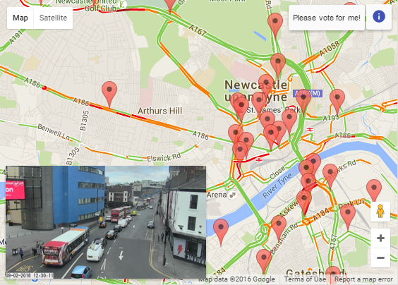
It takes the CCTV images for the Tyne and Wear region in the UK and displays their locations on Google Maps. Click one of the markers and the image will be displayed as a thumbnail. Click the thumbnail to zoom into the image.
How I built it
Built using angular-fullstack and hosted on OpenShift, it's a node.js application connected to a secure api that feeds data to the clients.
Challenges I ran into
The main challenge of the application was finding a way to get the camera images to update automatically, both when displayed as a thumbnail in a modified toast element and also in the zoomed-in view.
What's next for Tolon Traffic Cameras
Hopefully I'll find the time to create a mobile app from this work. Please vote for my idea at http://datamovement.co.uk/entries/ to help me achieve this.

Log in or sign up for Devpost to join the conversation.