-
-
Media 1
-
Media 2
-
Media 3
-
Media 4
-
Media 5
-
Media 6
-
Screenshot 1
-
Screenshot 2
-
Screenshot 3
-
Screenshot 4
-
Screenshot 5
-
Screenshot 6
-
Screenshot 7
-

App Icon
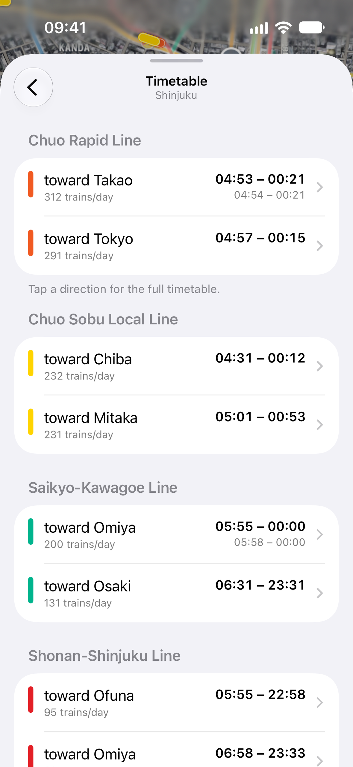
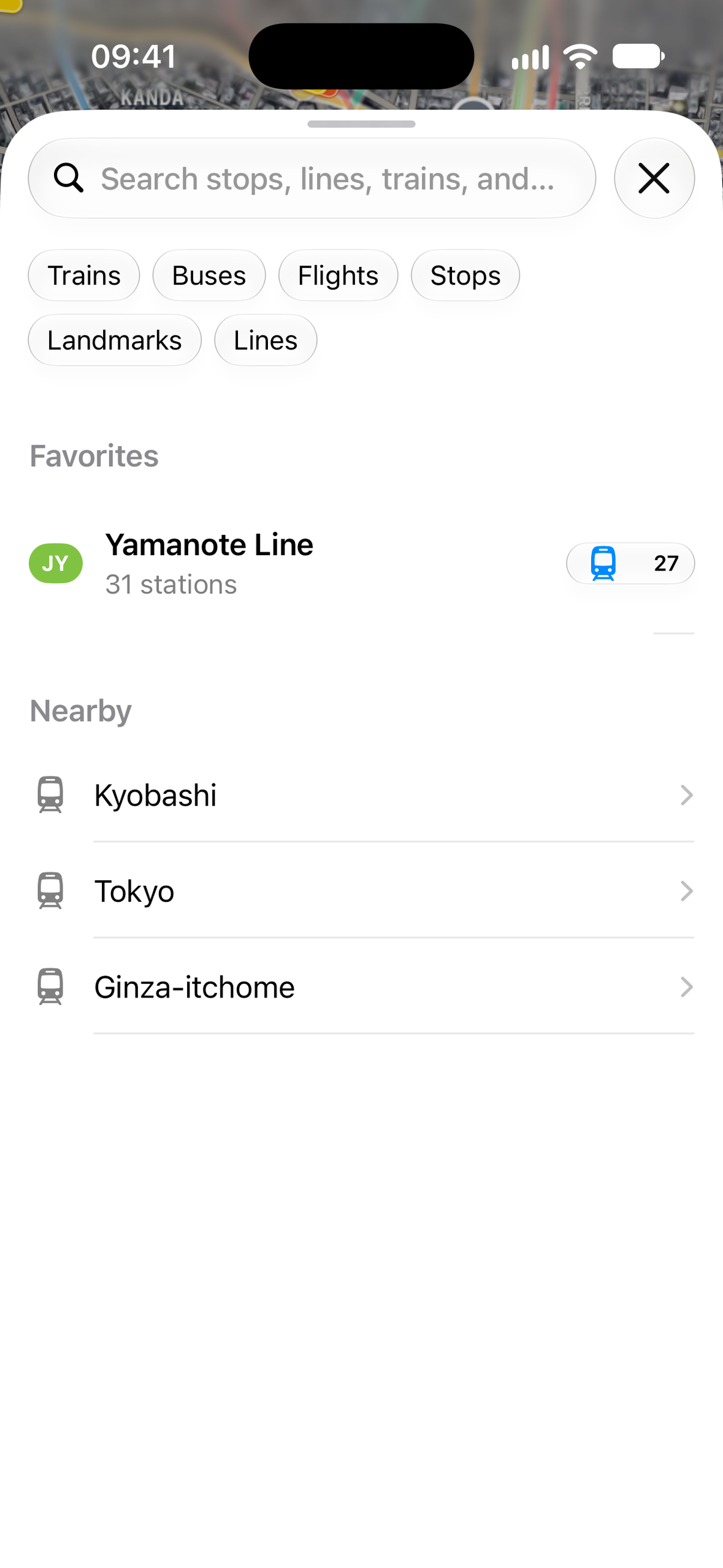

Inspiration
I'm an iOS developer from the Netherlands. After a trip to Japan I came across Mini Tokyo 3D, a web map of Tokyo's whole rail network moving in real time, and found out how much of Japan's transit data is open to anyone. I wanted that view on my iPhone: native, fast, and something you open just to watch the city move.
What it does
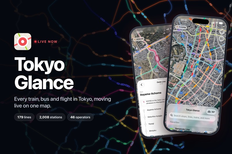
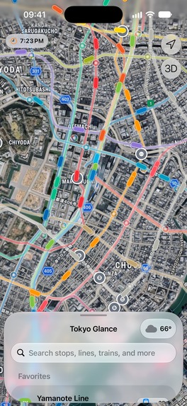
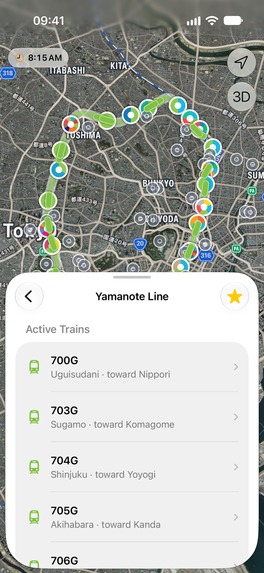
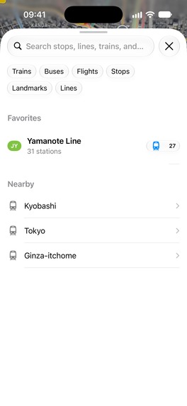
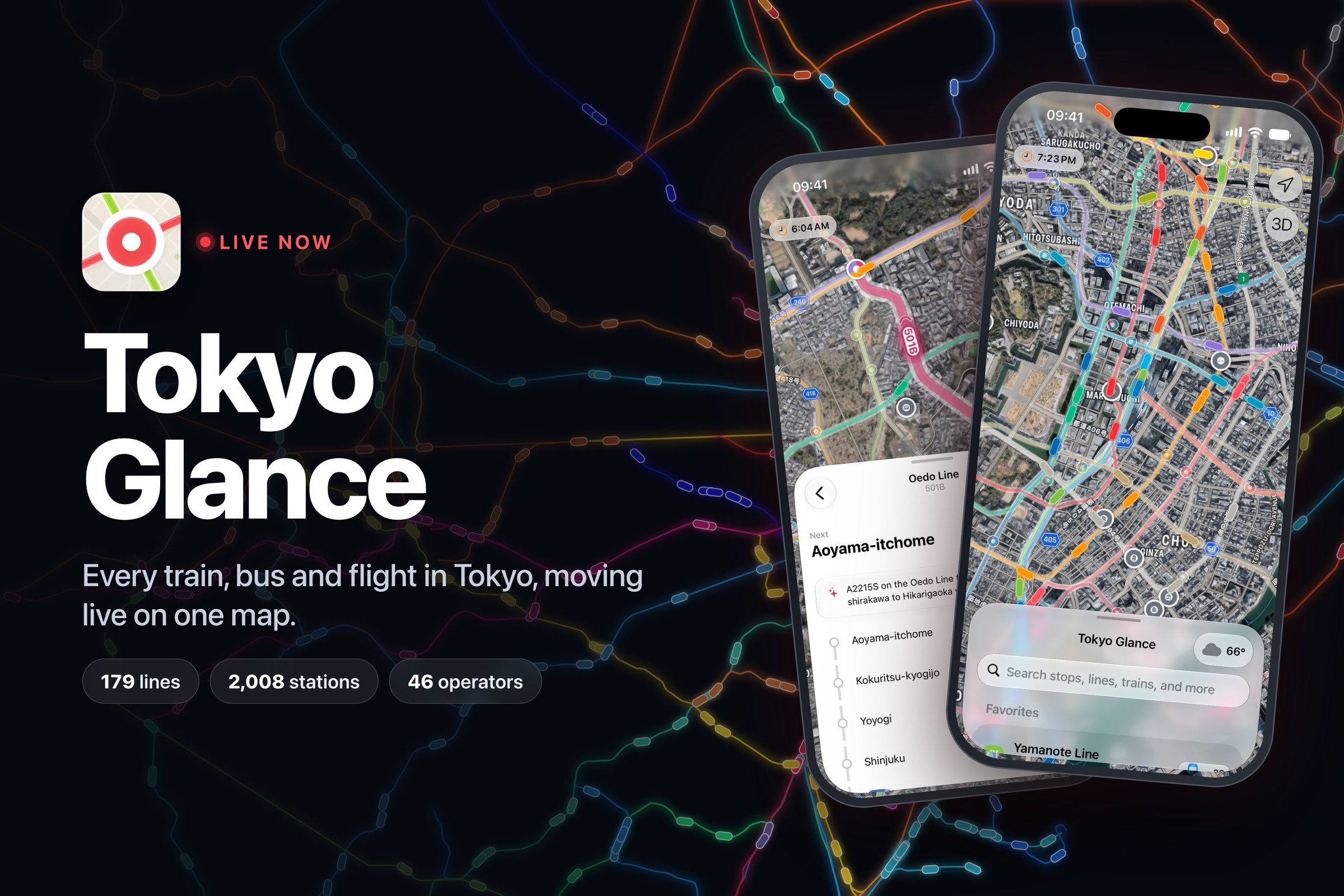
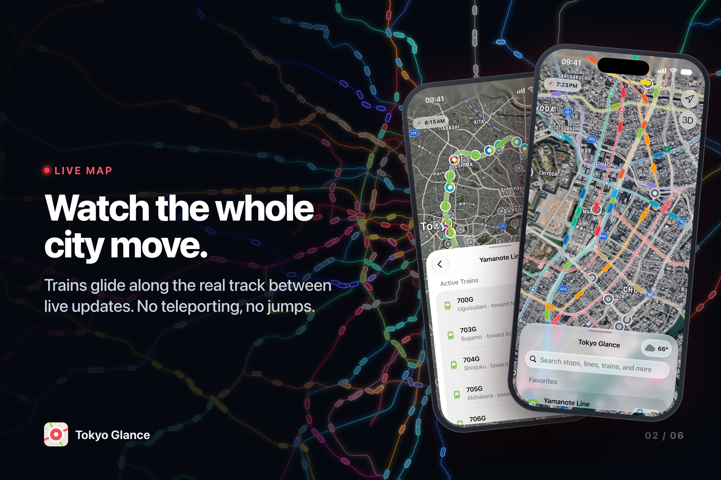
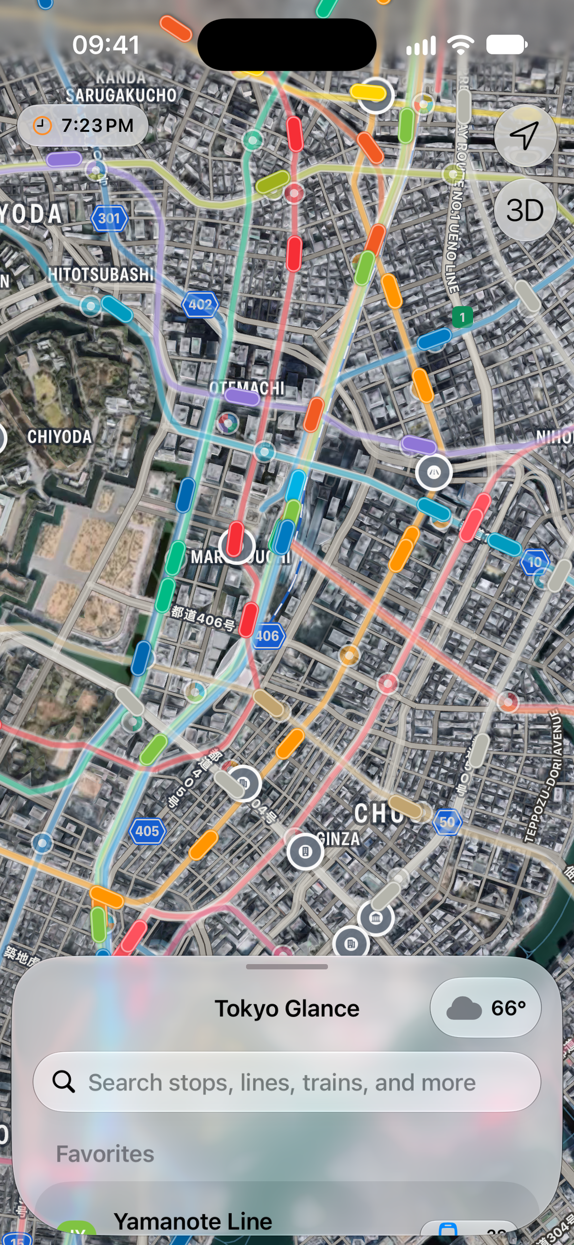
Tokyo Glance shows Tokyo moving, live, on one map.
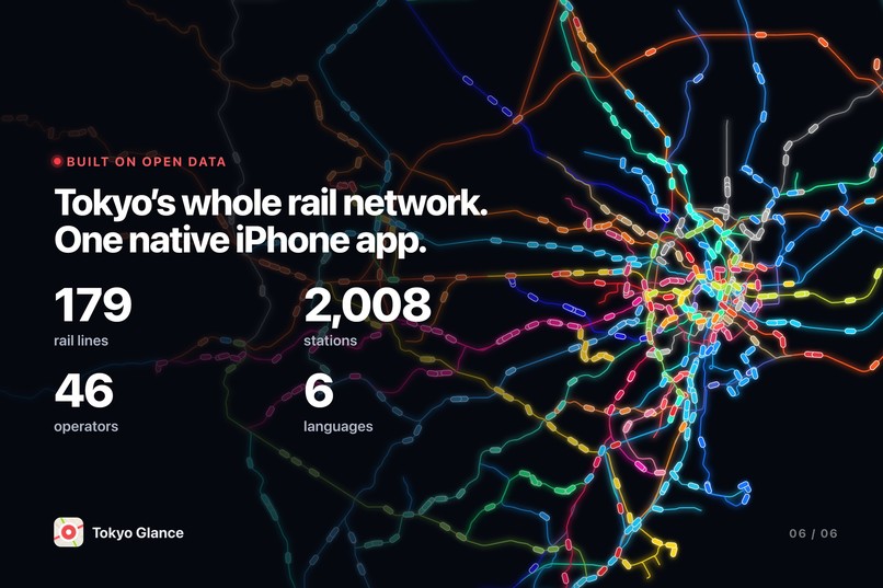
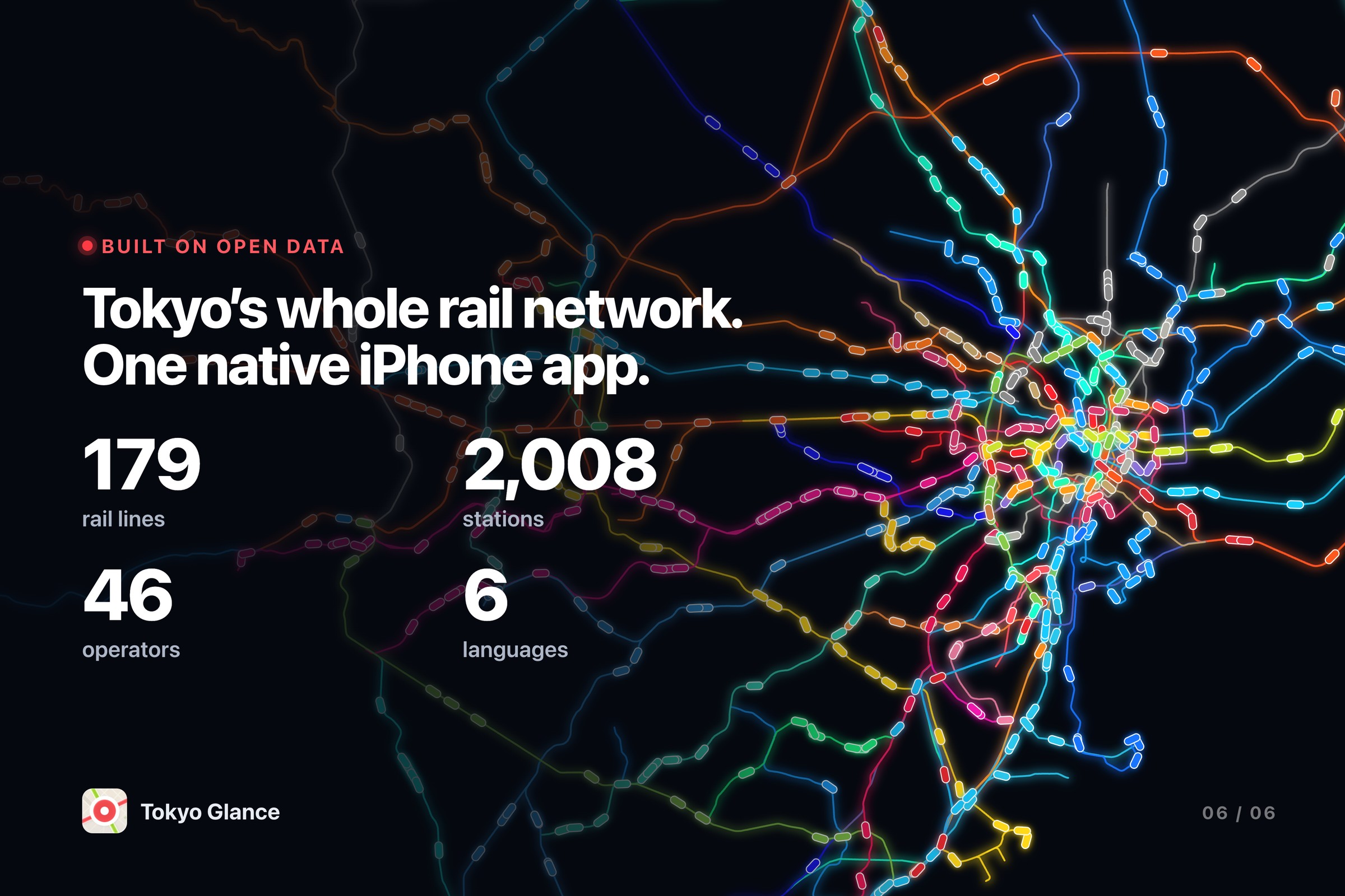
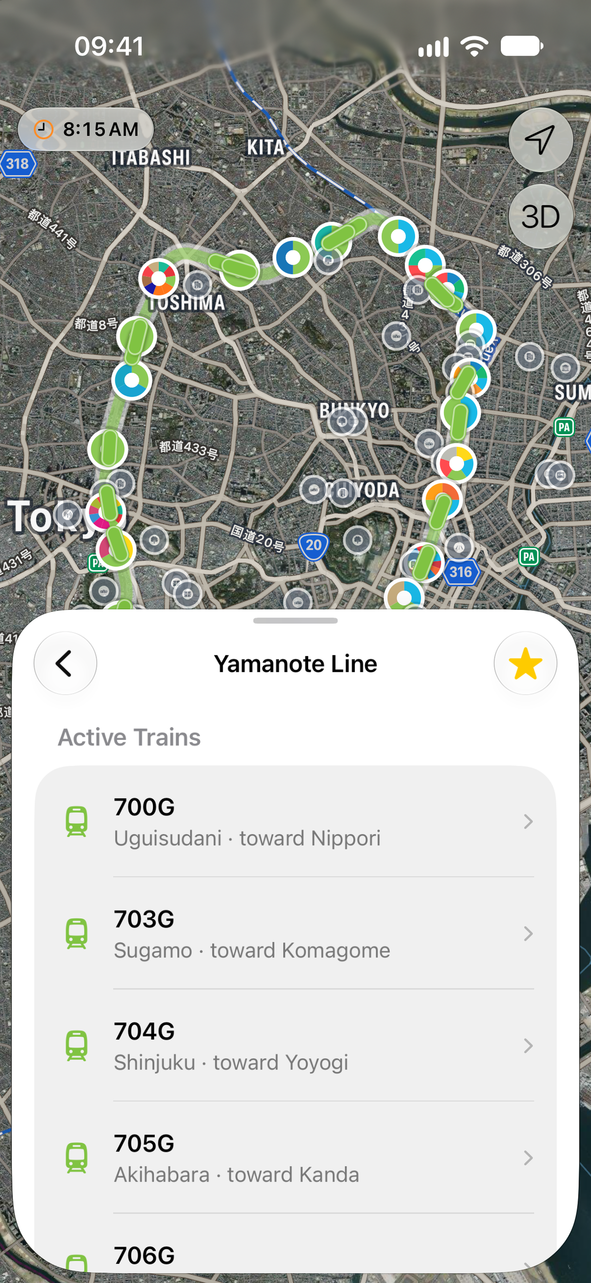
- Every train on 179 lines from 46 operators, plus Toei buses and flights at Haneda and Narita
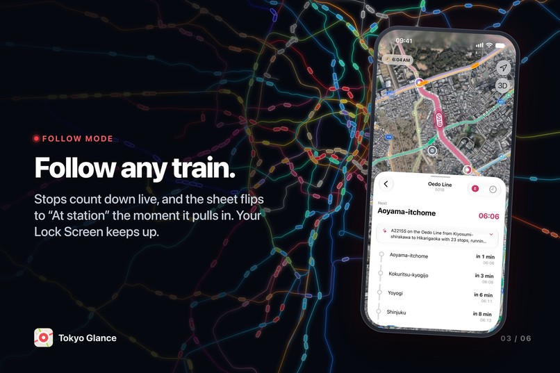
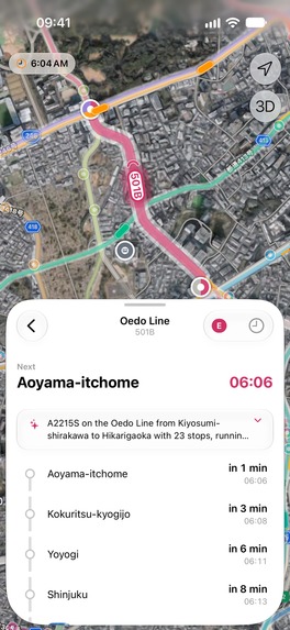
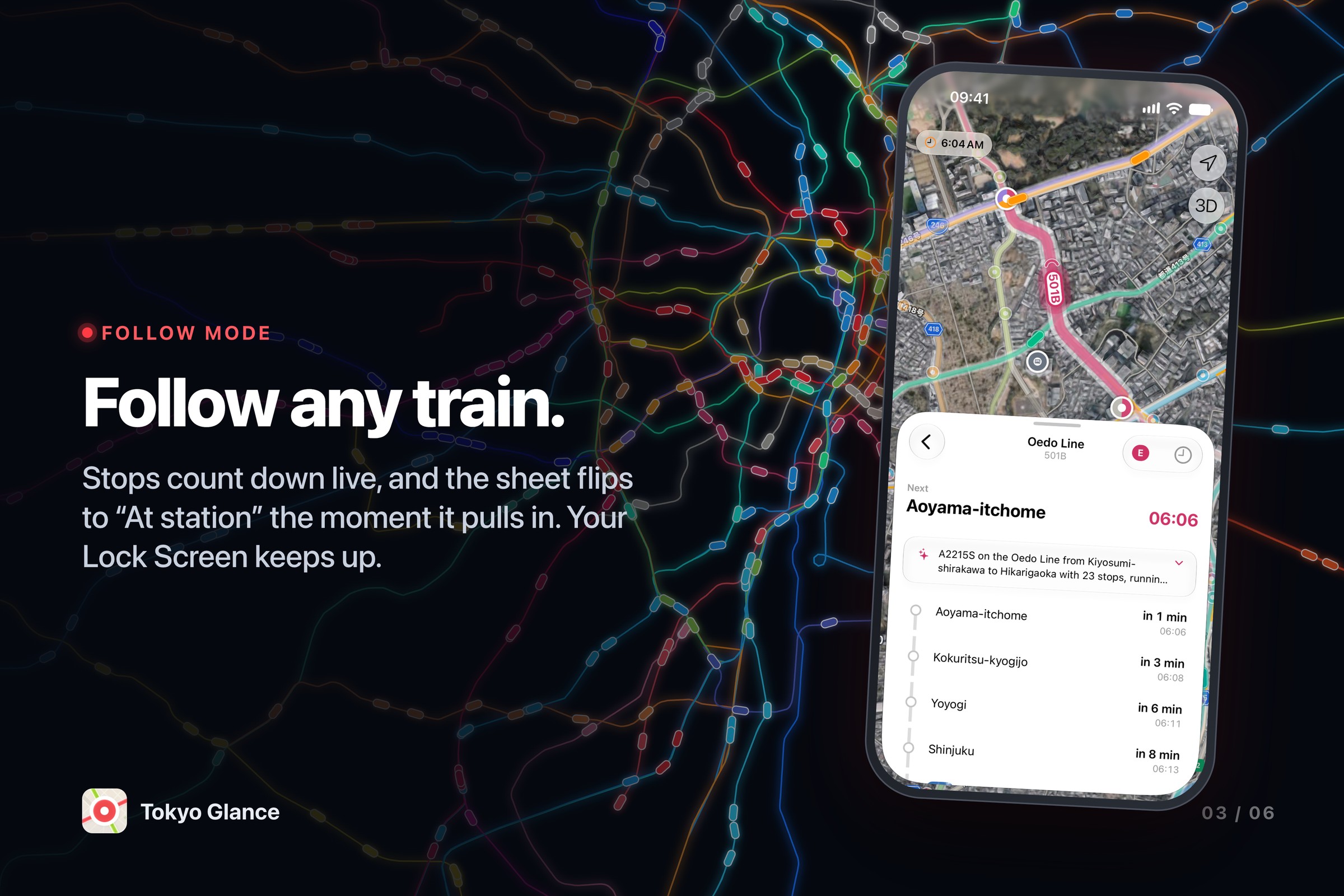
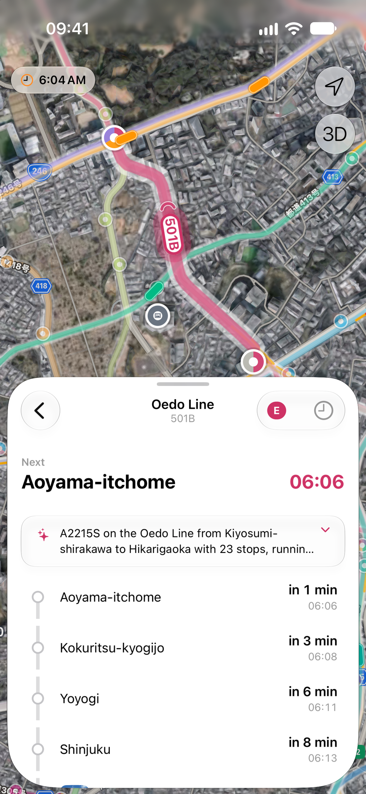
- Tap any train to follow it: its stops count down, and it stays on your Lock Screen as a Live Activity
- Every vehicle shows whether it's live or running on the timetable, and whether it's early, on time or late
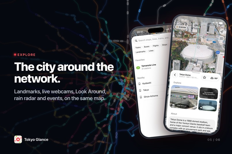
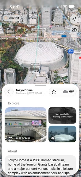
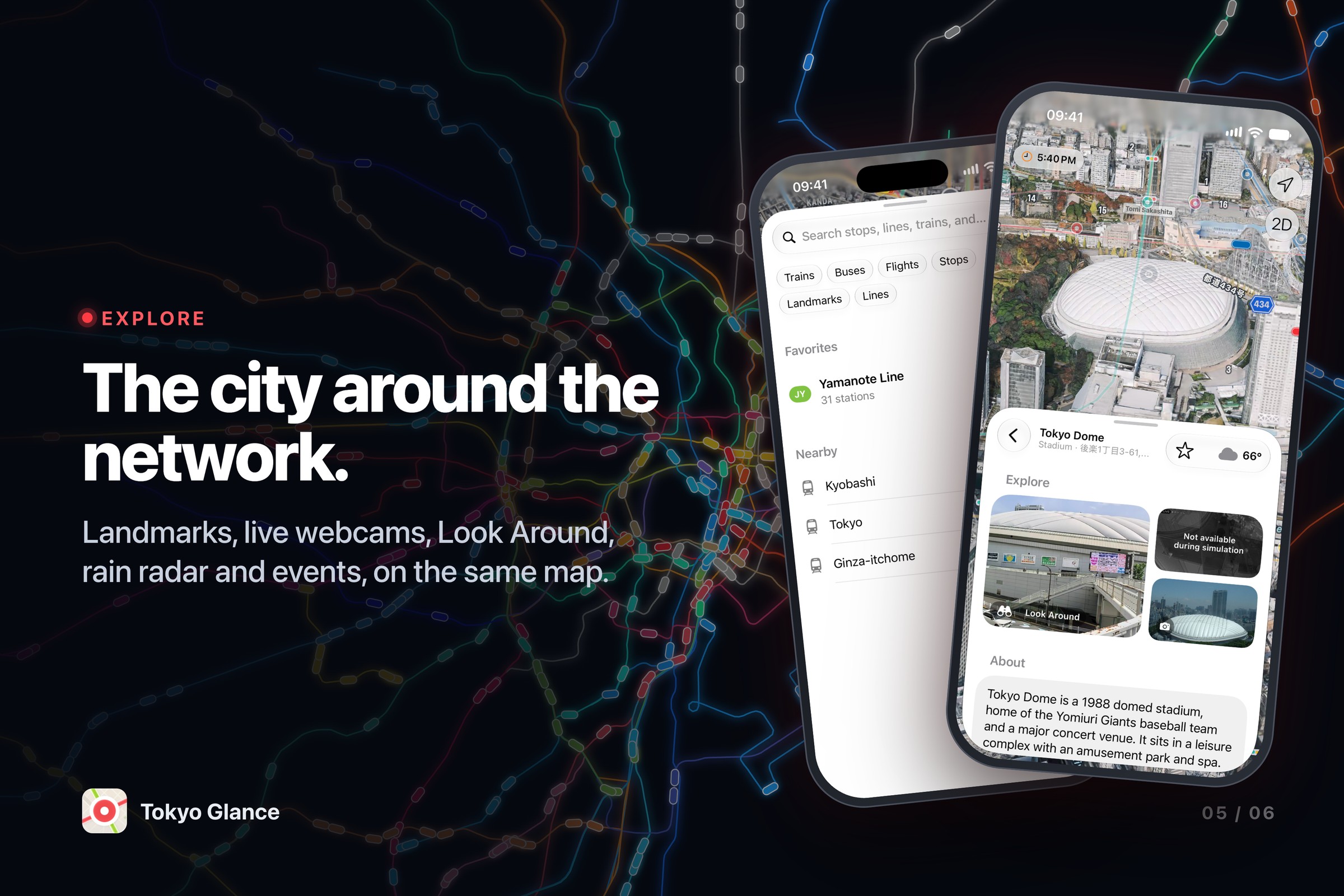
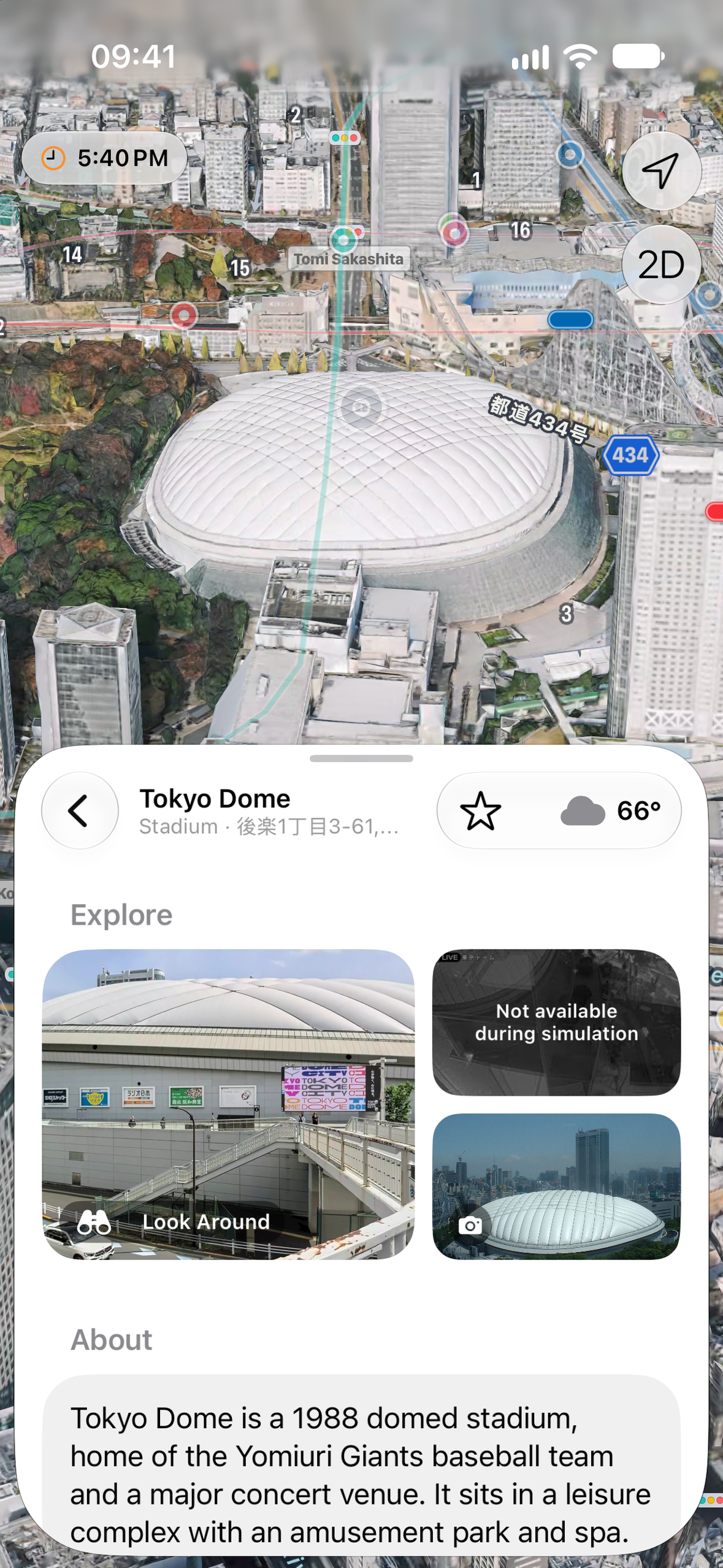
- Around it: rain radar, earthquake alerts, live street webcams, landmarks and events
- Time travel: replay the whole network at any hour
- A ride log that colours in every line you've ridden
- Home and Lock Screen widgets, in six languages
How it makes money
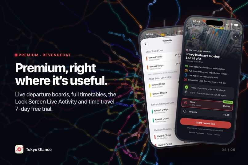
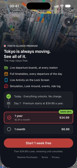
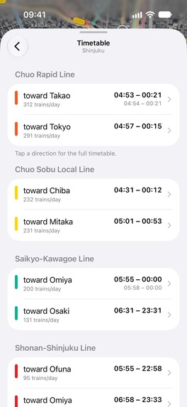
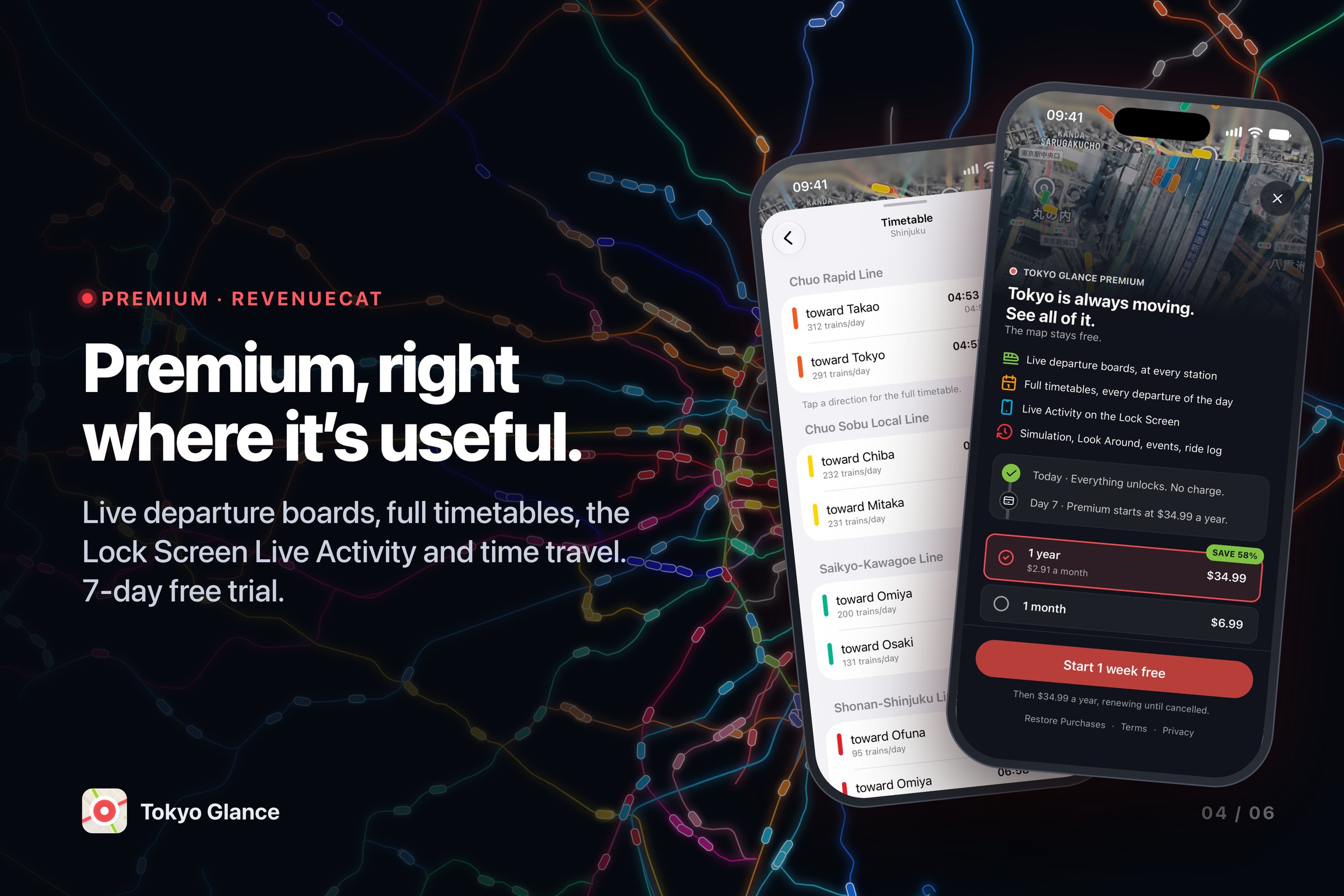
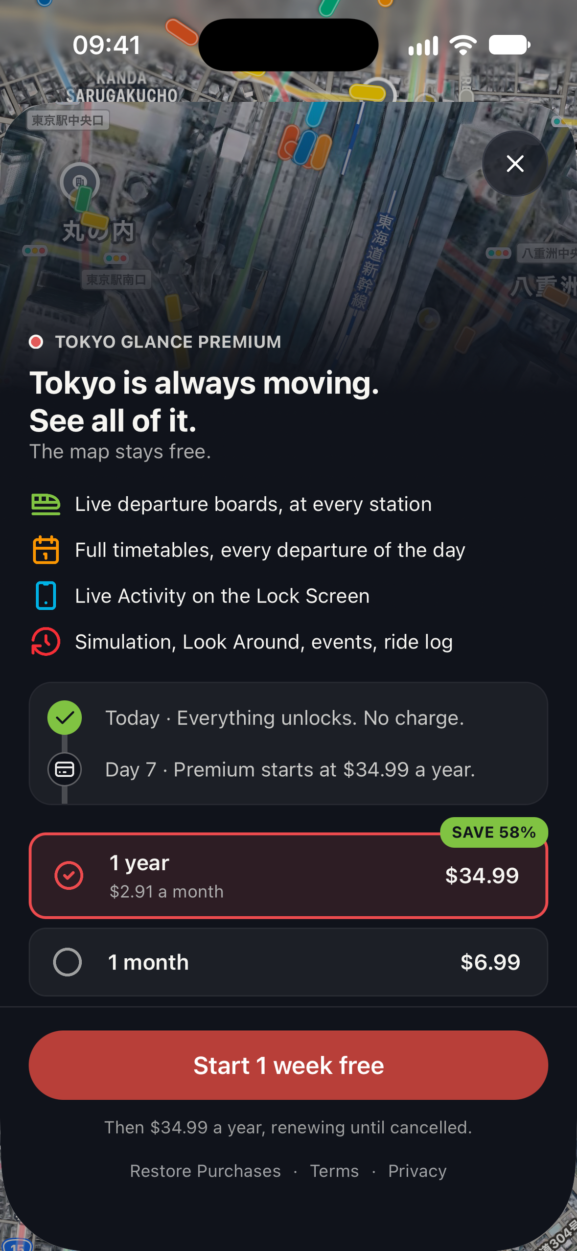
The map is free, with no ads and no account. Premium costs $6.99 a month or $34.99 a year, and the yearly plan has a 7-day free trial. It adds live departure boards, full timetables, the Live Activity, time travel and the ride-log extras.
RevenueCat handles all of it: one entitlement, and a RevenueCatUI paywall I edit from the dashboard without shipping an update. Premium shows up where it's useful, like a blurred live board inside the station view, instead of a pop-up on launch.
How I built it
The app is built with SwiftUI and MapKit for iOS 26, using ActivityKit, WidgetKit, WeatherKit and RevenueCat. Behind it is a small backend that reads Japan's public transit data, cleans it up, and serves it ready to draw, so the app stays fast and light.
Challenges
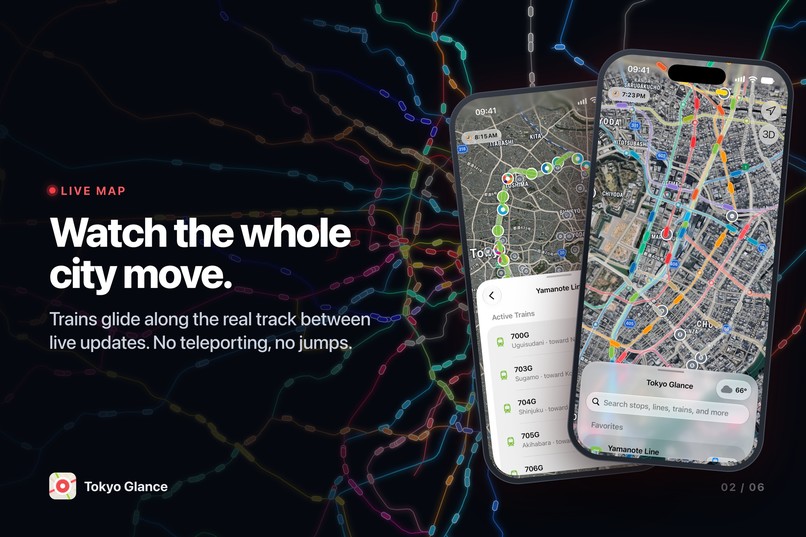
Train positions only update about once a minute, so drawn as-is, trains jump from station to station. Instead, the app moves every train along the real track, pulling out of one station and slowing into the next, and keeps it moving between updates. It feels like a live model of the city, not a screen of dots.
Tokyo's trains also switch line and operator mid-journey. Following one train through that switch without losing it took work all the way from the data to the map.
What I learned
About 1 in 60 people who saw the paywall bought Premium. Doubling that would matter less than doubling the number of people who find the app, so I spent most of the event getting found: press in Japan and France, a Japanese developer blog, a website with a page for every line and station, and a bot that posts live Tokyo service updates in Japanese.
What's next
More bus operators, so the whole city moves on the map, not just the railways.
Built With
- activitykit
- bun
- hono
- mapkit
- revenuecat
- swift
- swiftui
- typescript
- weatherkit
- widgetkit

Log in or sign up for Devpost to join the conversation.