-
-

Demo of adding a layer and autmaticaly choosing a style.
-

Some information on the prompt and a example of adding many layers with this method
-
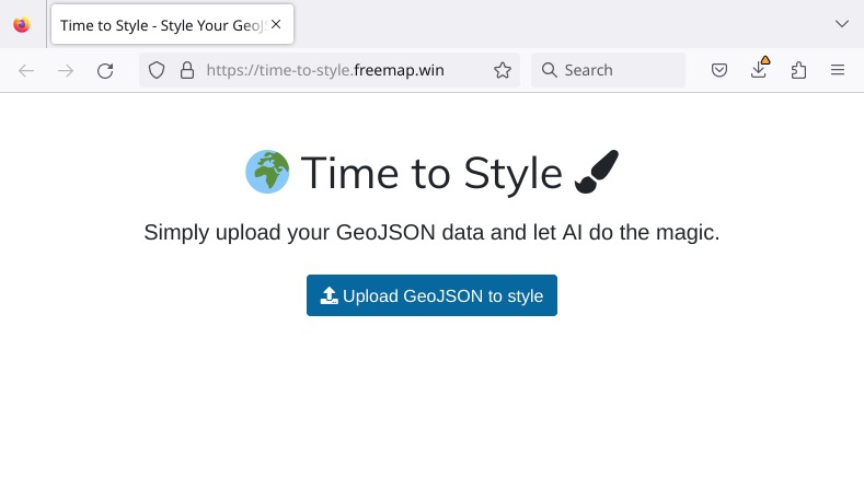
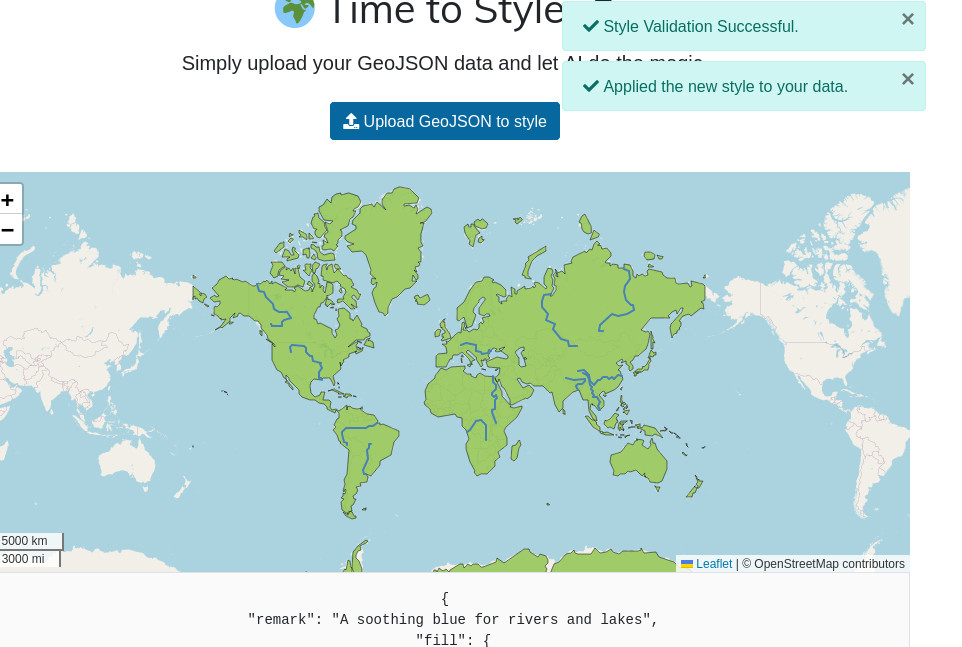
Screenshot of the front page with upload button
-
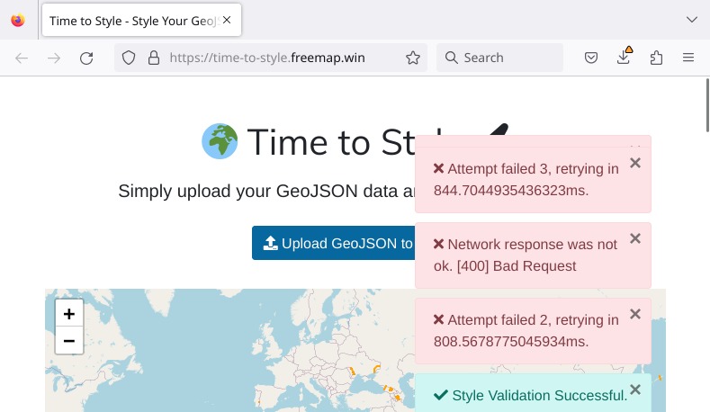
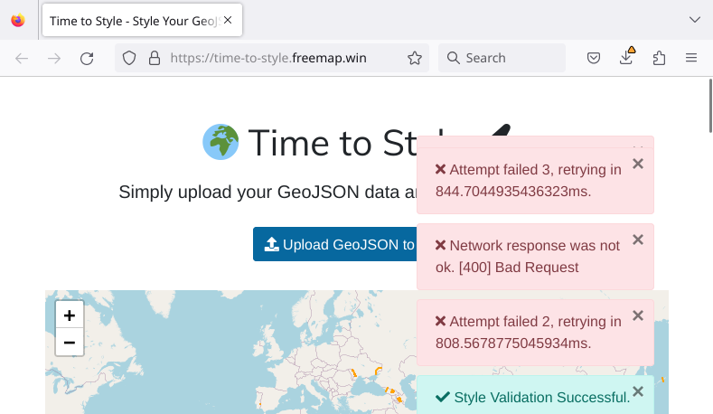
Screenshot showing progress of LLM styling process
-
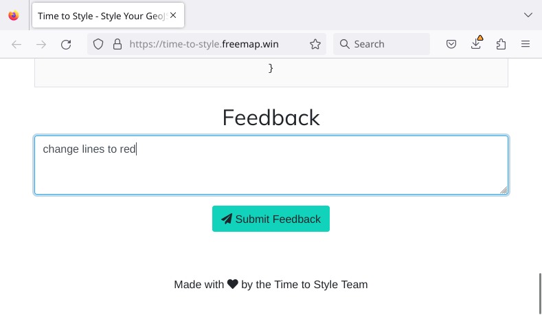
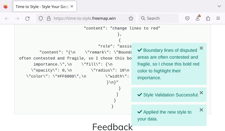
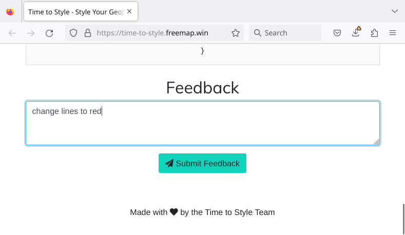
Screenshot showing typed feedback to change the style
-
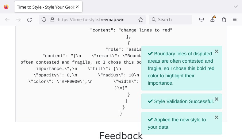
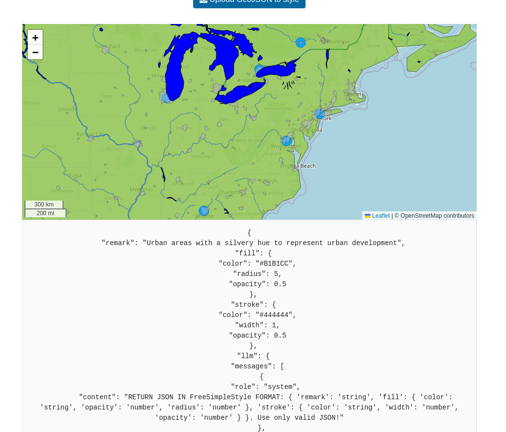
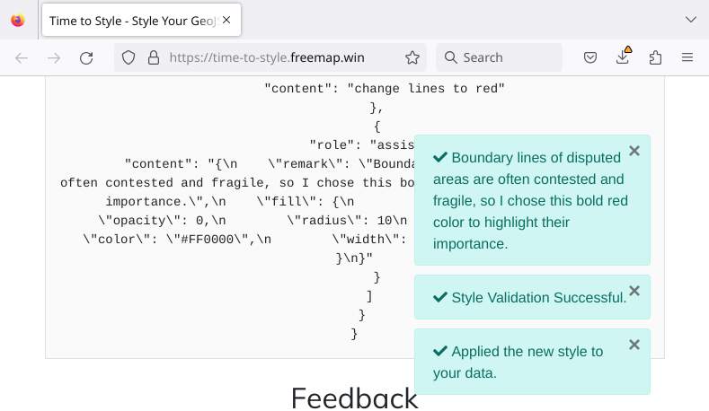
Screenshot showing messages as LLM processes the feedback
-
 GIF
GIF
Animated GIF showing above screenshots


Welcome to Time-To-Style
Unleash the possibilities of generative ai on the geopolitical industry. This project aims to show how recent innovations in LLM's can have an impact on the GIS industry. We had a hard time picking the category as we feel this is applicable to many industries. That said the manufacturing and energy industry contain many employees who use data all the time, they are mainly focused on the hard part of finding and cleaning the data. By allowing ANYONE to take the next step and create a story with that data is an extremely valuable feature that we believe will have widespread impacts on the world. This is why we want to advance this technology and create tools that make the complicated stuff simple.
Run it yourself
Test it out you can find sample data bellow as the 110m.zip file or go to ne.freemap.online select any file and click save. Then simply upload the geojson to the demo app and play wit the style.
Inspiration: As geospatial professionals, we've all experienced the frustration of manually styling data in ArcMap and QGIS. The tedious process of untangling data and attributes, only to end up with a map that's more art than science. We knew there had to be a better way to streamline this process.
What it does: TimeToStyle is a revolutionary solution that automates the styling process for geospatial data in ArcMap and QGIS. No more manual styling, no more trial-and-error. Our solution simplifies data exploration and styling, freeing up professionals to focus on higher-level tasks.
How we built it: We leveraged cutting-edge machine learning algorithms and natural language processing to develop a solution that can understand the nuances of geospatial data. Our solution integrates with existing workflows, requiring minimal training and zero coding expertise.
Challenges we ran into: One of the biggest challenges was developing a solution that could accurately interpret the complex relationships between data attributes and styling choices. We overcame this by creating a graph-based representation of data relationships, allowing our solution to learn from patterns and biases in the data.
Accomplishments that we're proud of: TimeToStyle reduces styling time by an average of 75% compared to traditional methods. Our solution has been used to style up to 10,000 datasets, resulting in improved data visualization and decision-making.
What we learned: Through this project, we learned the importance of collaboration between developers, geospatial experts, and data scientists. We also learned the value of simplifying complex problems and focusing on the user experience.
What's next for TimeToStyle: We're excited to expand our solution to support more data formats and integration with other geospatial tools. We're also exploring the potential for integrating TimeToStyle with emerging technologies like deep learning and edge computing. Stay tuned!
Built With
- cloudflare
- groc
- html5
- javascript
- maping
- style


Log in or sign up for Devpost to join the conversation.