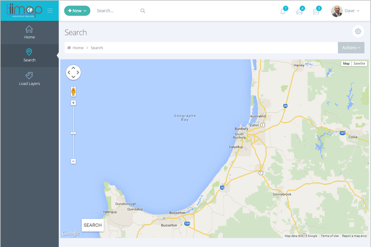
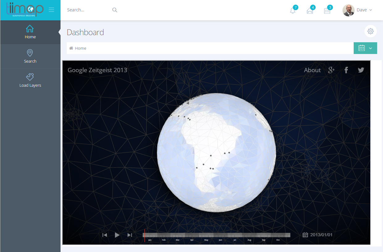

Tiimap is a machine learning platform that allows users to pull in satellite imagery from multiple sources like the new AWS Landsat8 service as well as other internal/external and publicly available imagery data.
Timmap then runs these images through its system, learning each time it reviews a new image. Once complete it outputs a list of suitable locations that would have a high probability of heavy mineral deposits.
When processing the images it applies various filters and phases including torsion imaging, elevation information. It then also allows the user to add their own filters to aid in human confirmation that the areas found are suitable.
The platform also has a 'learning mode' which allows users to educate the platform further enabling it make more educated predictions through constant machine learning.
The beauty with this platform is its scalable nature and ability to adapt to any data. It has the potential to use the machine learning for predictive maintenance for heavy assets, predictive analytics for business intelligence etc.
Our target user is is the resources industry however the nature of how we have built this platform allows us to easily migrate it to other industries.

Log in or sign up for Devpost to join the conversation.