-
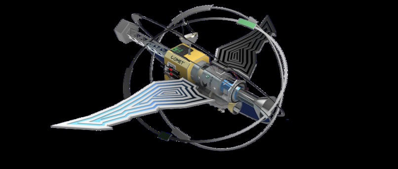
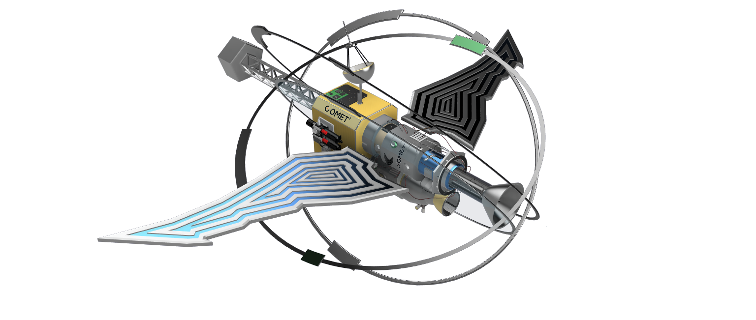
THE SATELLITE!!
-
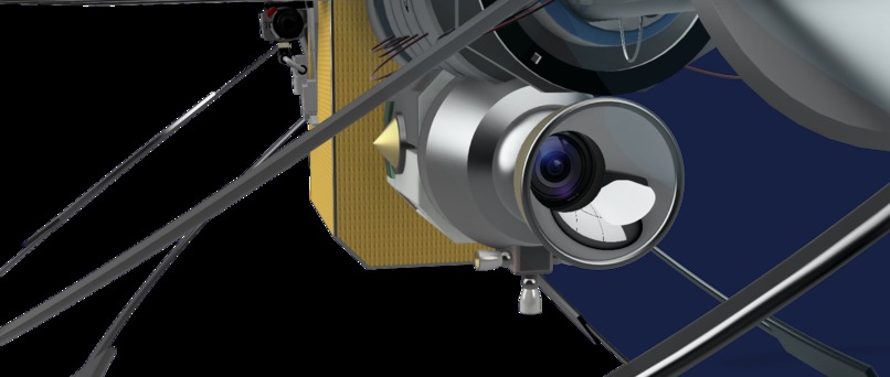
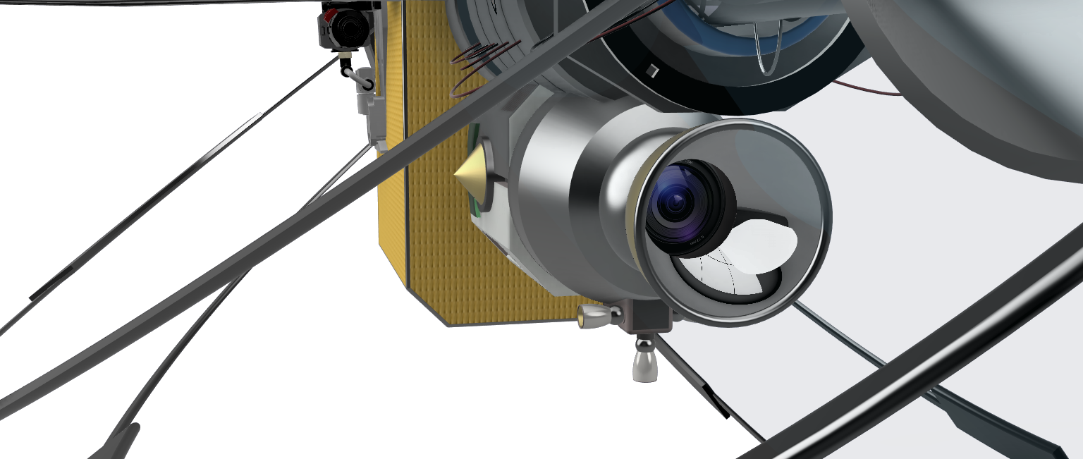
Infrared Camera
-
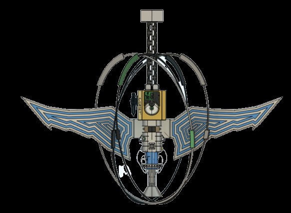
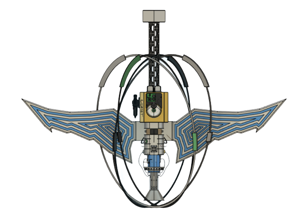
Birds Eye View >:)
-
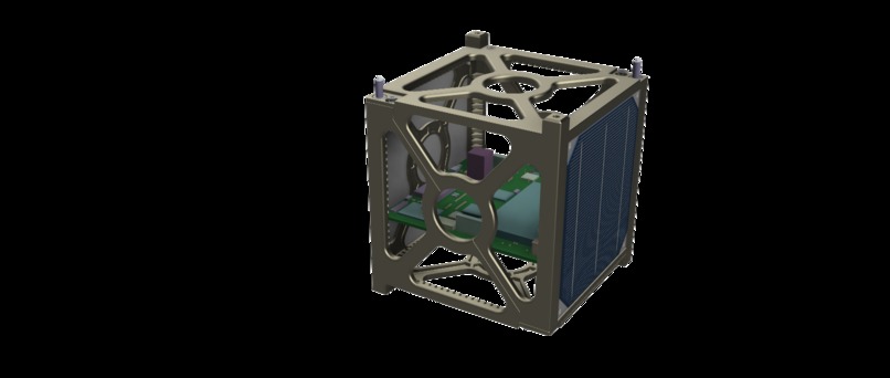
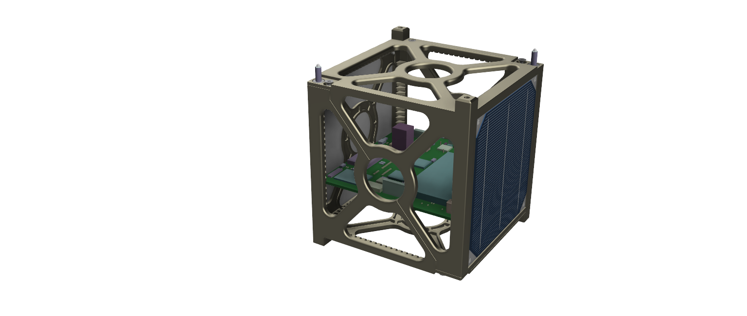
The Power House :0
Inspiration
The WIIST was created through observing the growing number of wildfires and the casualties that come with them. Comet Squared wanted to help in any way possible no matter how big or small.. so we went HUGE!!
What it does
The WIIST is able to take infrared image scanning that detects growing wildfires and the topographical location around its vicinity and translates its data to emergency services for immediate response times and lessen the effects of wildfires.
How we built it
The Satellite was constructing using Autodesk Fusion360 and CFD Computational Programming, the math to ensure the success of the satellite was done using gravitational field equations, the programs to translate heat level data was created using matplotlib on python3.
Challenges we ran into
Creating the heat level maps was one of the largest struggles we faced, to translate accurate data into the program to then be observed by a responder required a lot of math, programming and hard WORK.
Accomplishments that we're proud of
Everything But in specific we are very happy with how the CAD model turned out having been backed by accurate physics equations and also looking so aesthetically pleasing!
What we learned
Learned several new technologies and techniques that have been newly introduced and innovated into the future of space exploration. We also learned more about the significant effects of wildfires and its effects on people, animals and climate change overall, making us more aware and advocates for change. We also programmed using Matplotlib for the first time during this event, having to learn whilst also implementing into our design under the time constraint.
What's next for The Wildfire Infrared Image Satellite Transmitter
Incorporating further sensors such as a thermal camera to further depict wildlife endangered nearby the wildfire vicinity & to alert nearby citizens.
Built With
- autodesk
- autodesk-c-fluid-dynamics
- autodesk-fusion-360
- matplotlib
- python


Log in or sign up for Devpost to join the conversation.