-
-
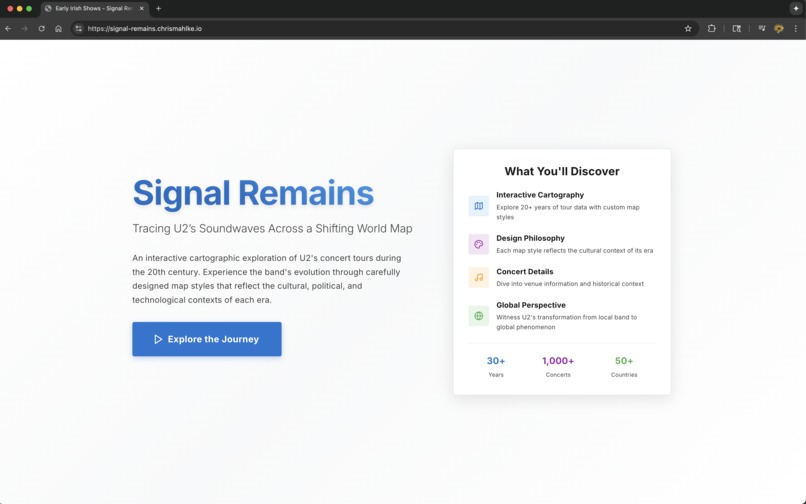
Homepage
-
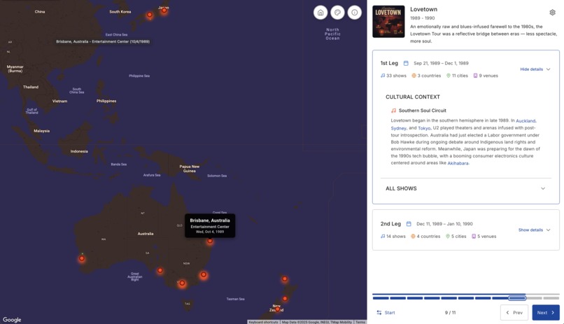
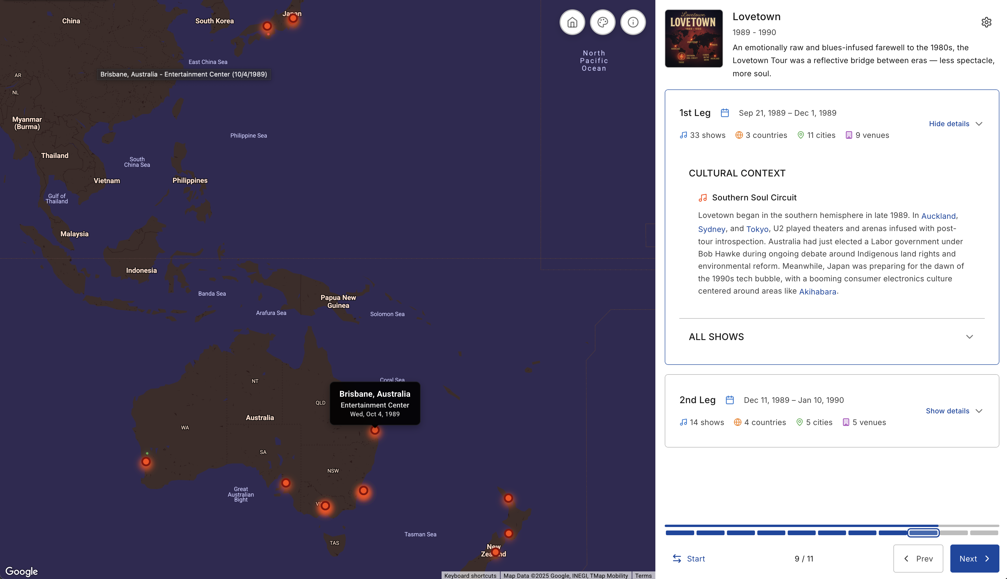
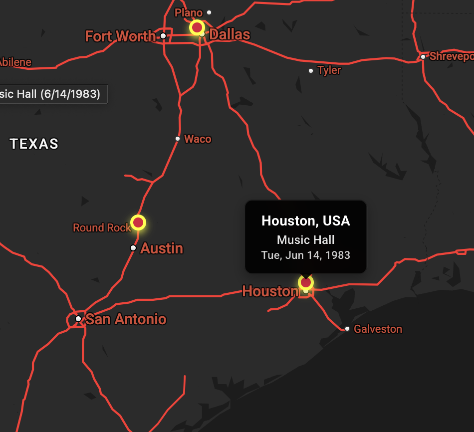
Markers have custom tooltips
-
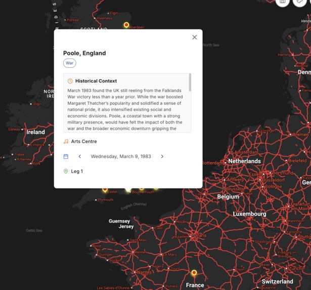
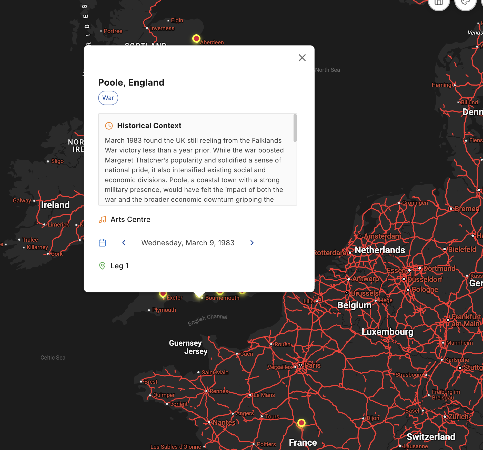
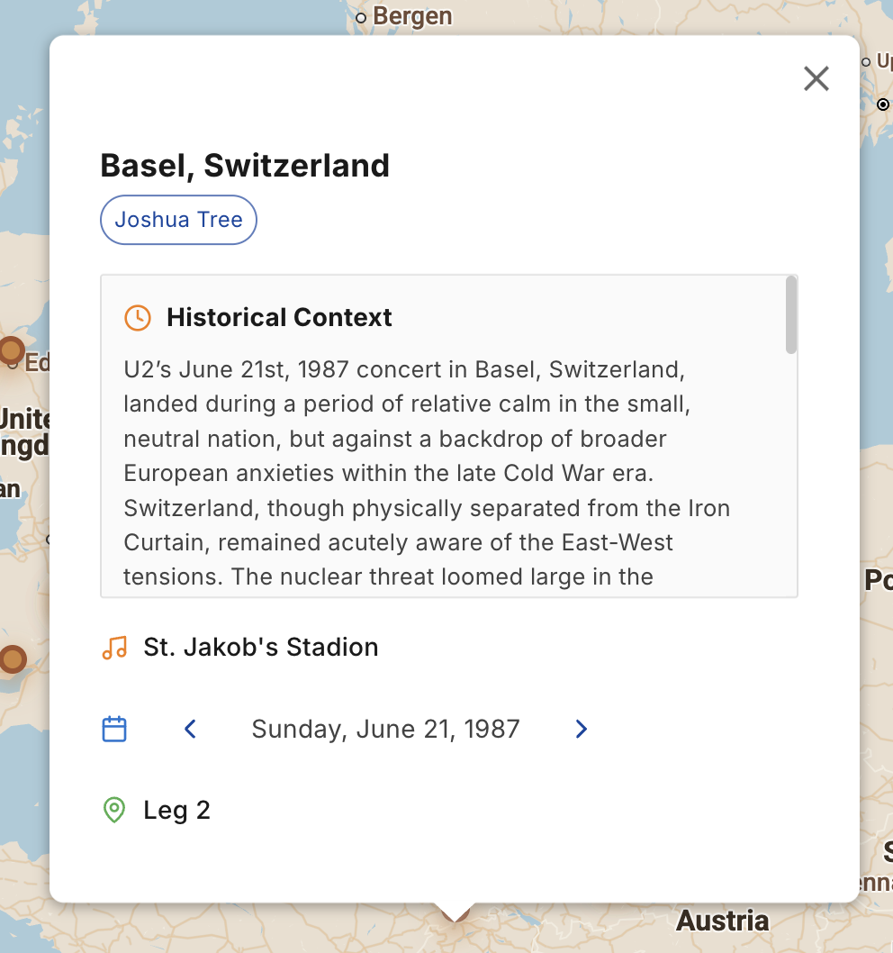
AI-powered Info Windows using Gemini 1.5
-
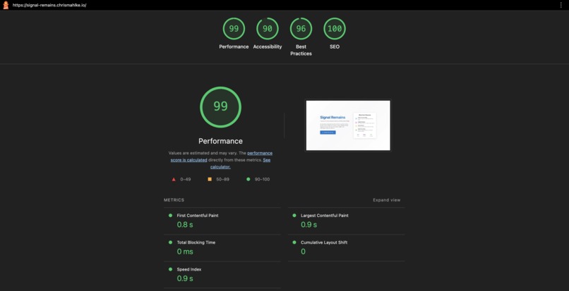
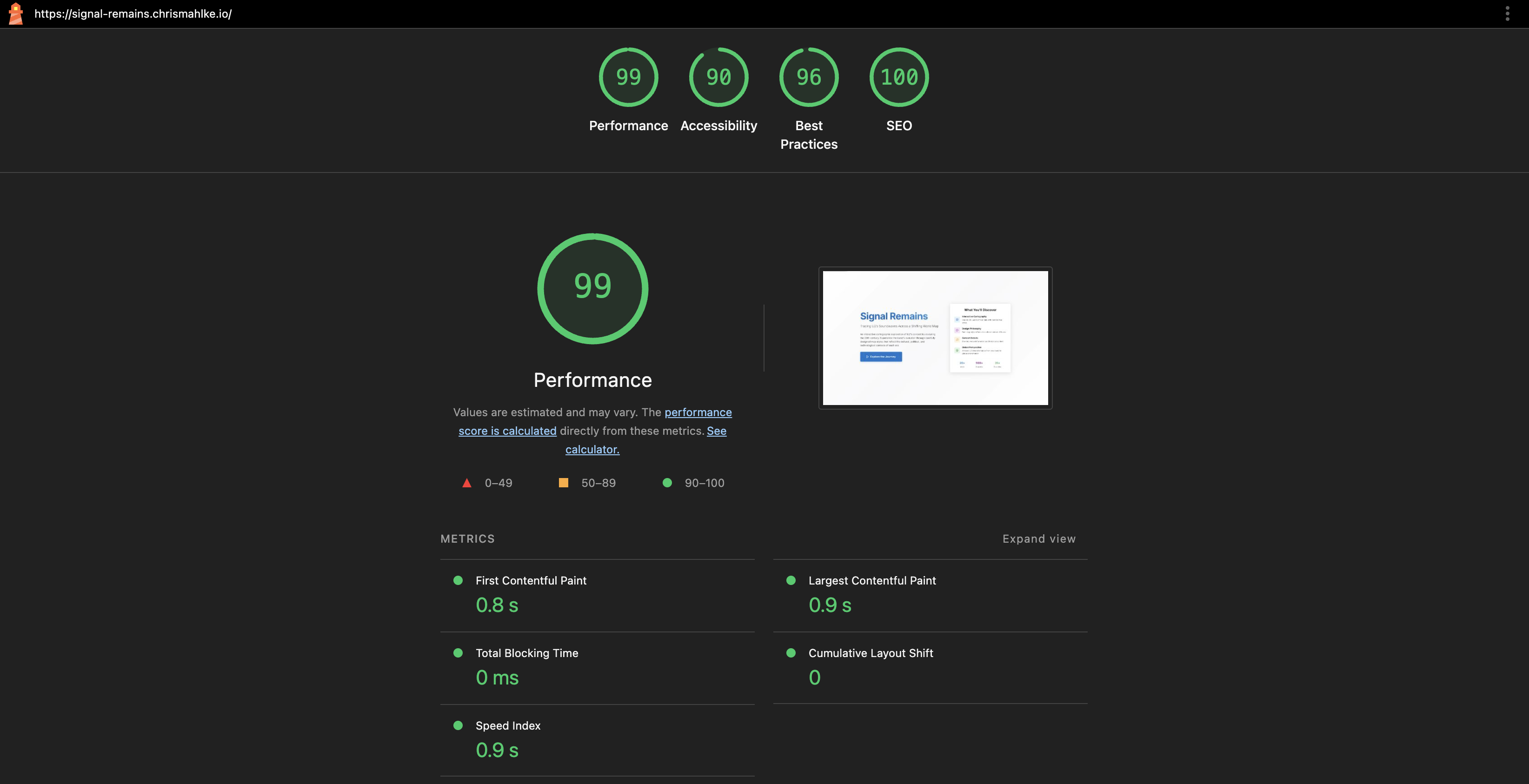
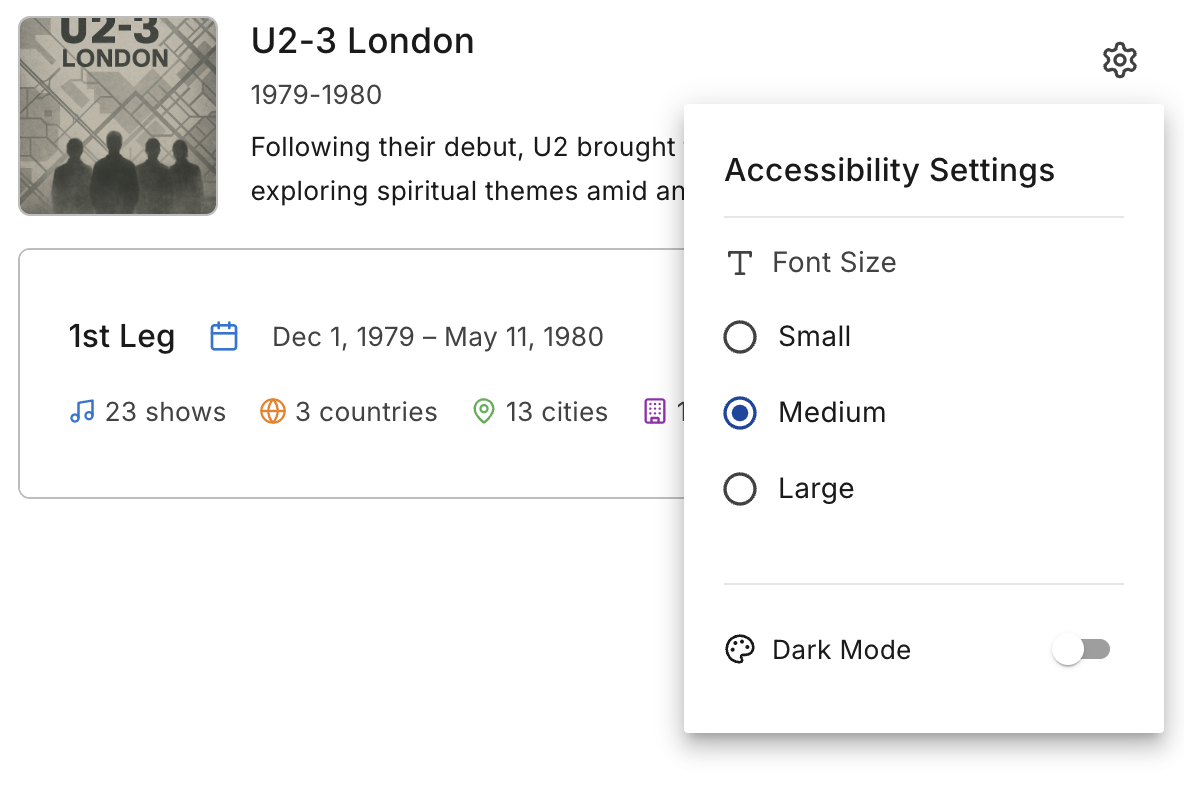
Web accessibility (Google Lighthouse)
-
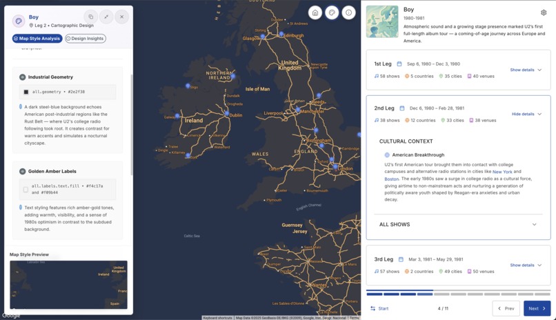
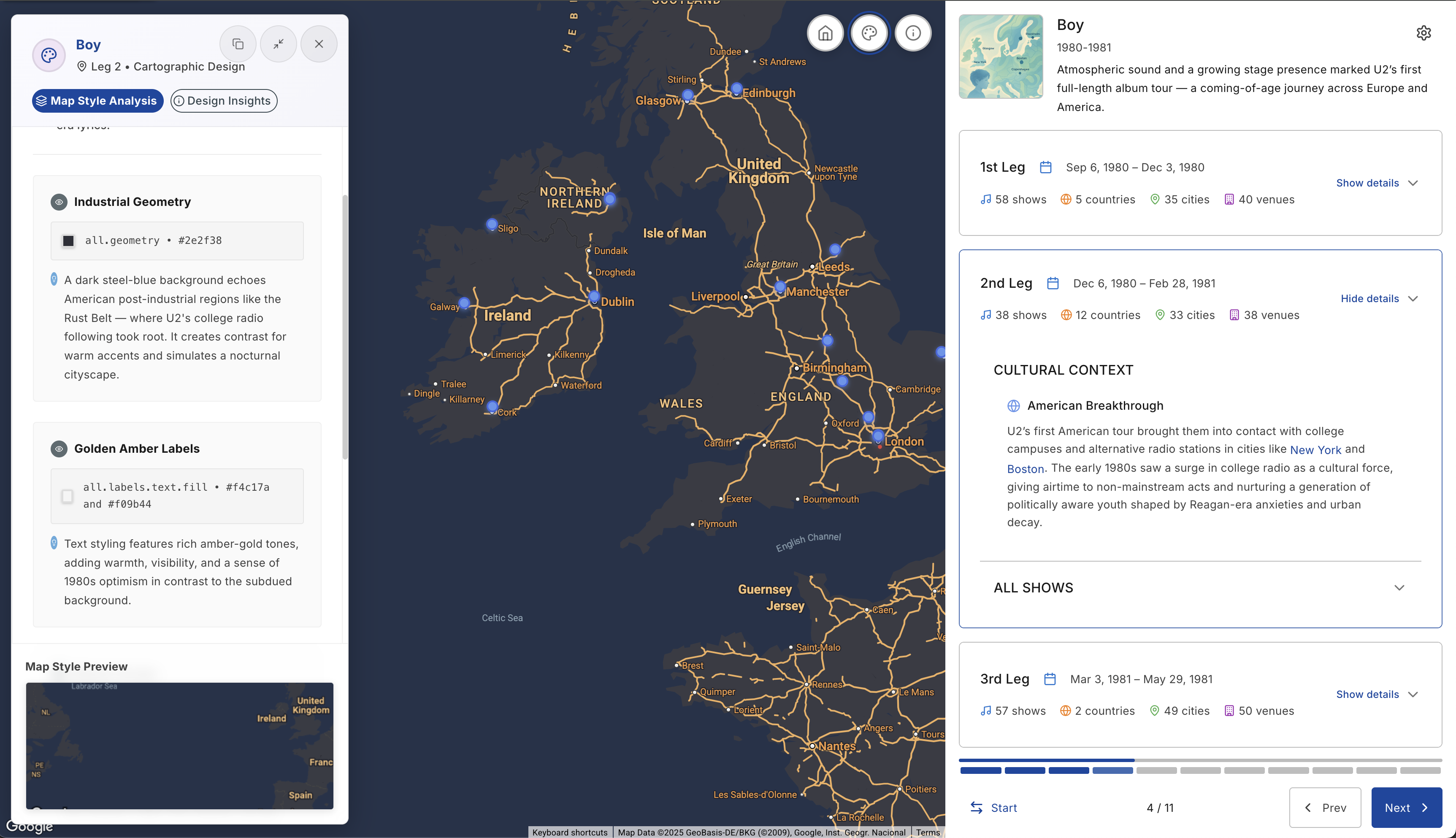
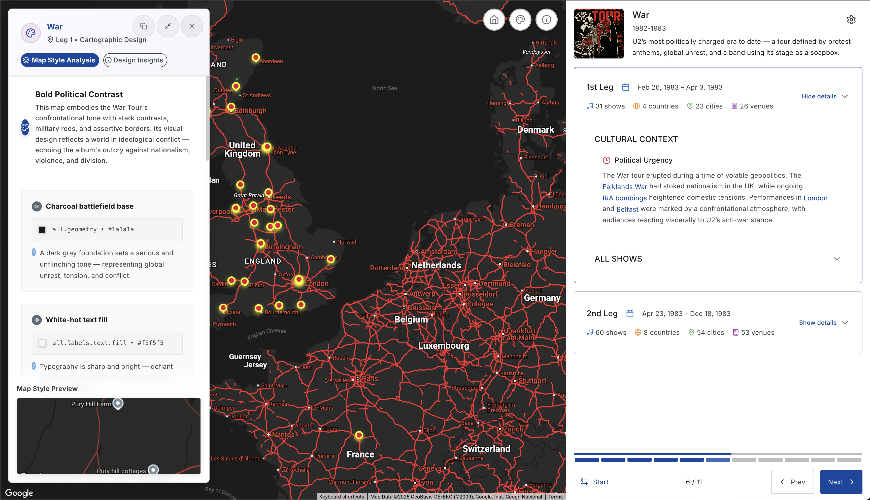
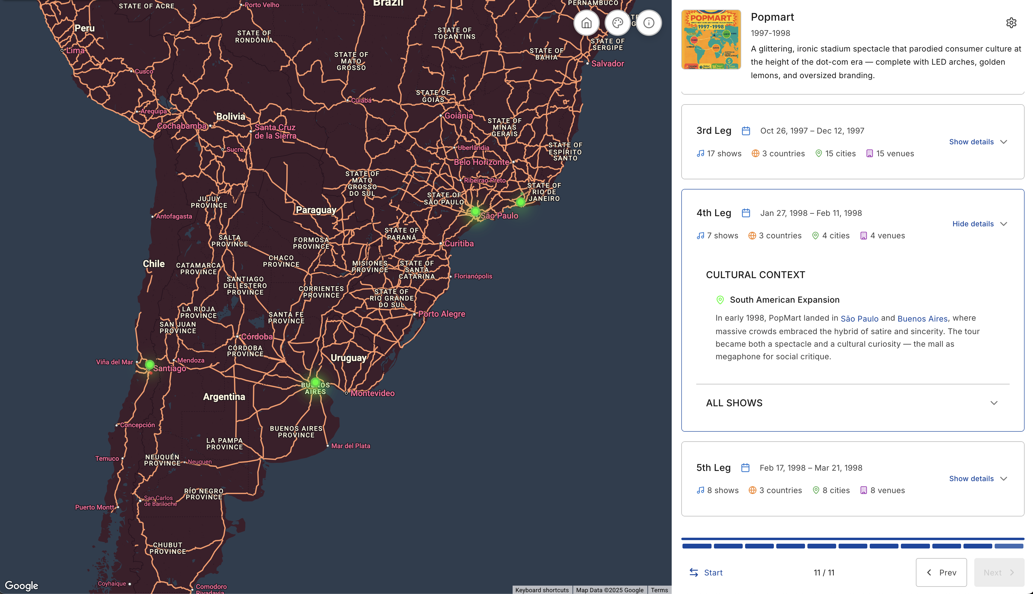
Each leg of every tour has a separate cartographic design stored as a map style in GCP.
-
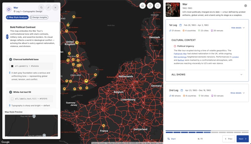
War Tour - 1983
-
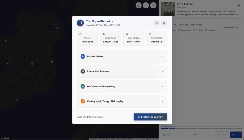
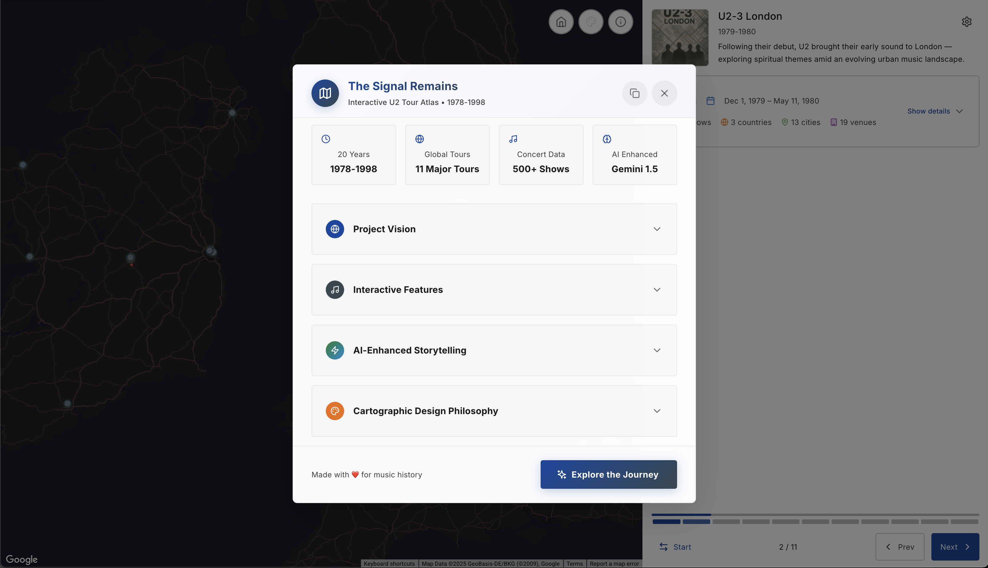
More about the project
-
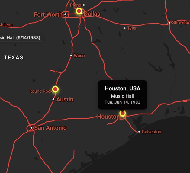
War Tour
-
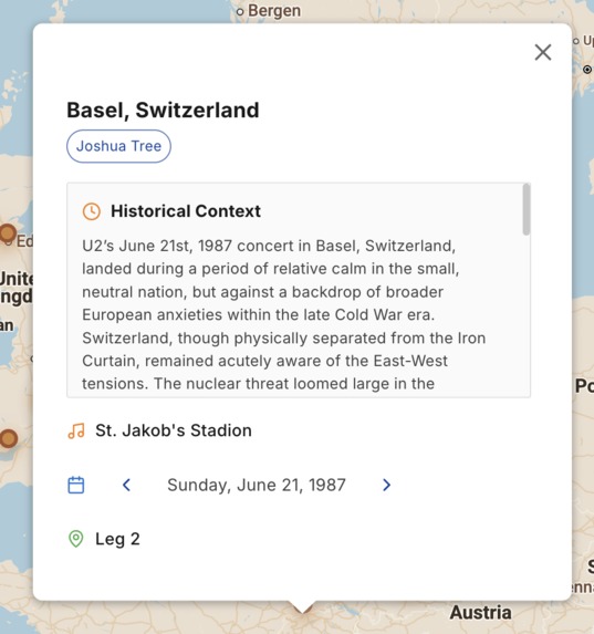
Gemini-powered InfoWindowss. Every concert contains content generated on-the-fly from Gemini.
-
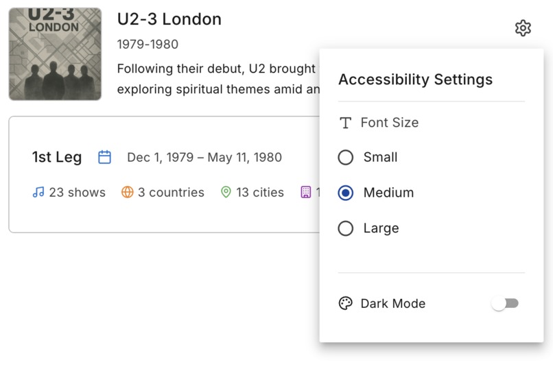
Web accessibilty
-
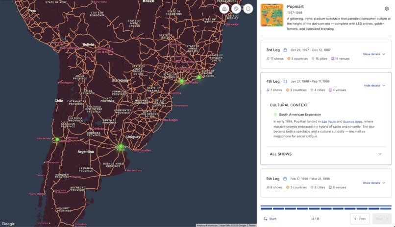
Popmart
Inspiration
I was inspired by the idea that world tours are shaped as much by history and politics as by music — each one a reflection of its moment in time.
Each map in this project is uniquely styled to reflect the cultural and political atmosphere surrounding that specific leg or tour. I approached each one not just as a visual record, but as a historical artifact shaped by the era it represents.
This project visualizes that dynamic: how global conditions shaped the band’s path — and how U2, in turn, reshaped cultural space. The design of each map responds to that feedback loop.
What it does
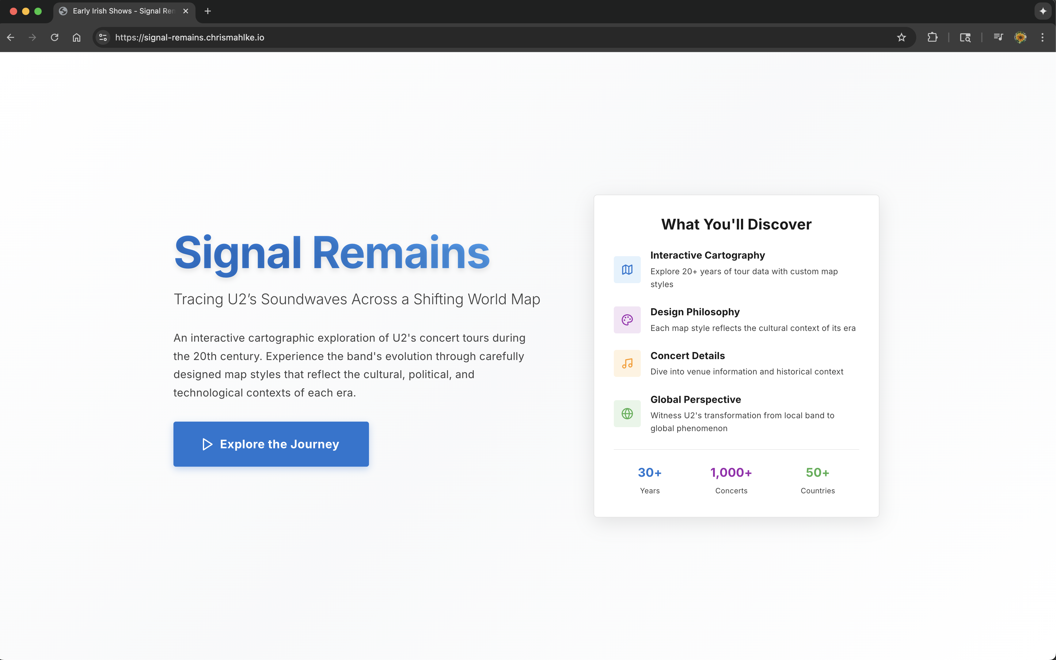
The Signal Remains is a navigation-driven, styled, cloud-hosted atlas that remaps U2’s major 20th-century tours as a narrative of movement, tension, and memory.
Each leg of each tour in different eras uses a custom-styled Google Map to express regional and historical tone.
Tour stops are rendered as interactive markers, and when selected, each one calls Gemini 1.5 to dynamically generate contextual insights — including cultural, historical, or political background relevant to that show’s time and place.
This is a map-driven story about global music as geopolitical artifact — enhanced with real-time AI and expressive cartography.
How we built it
This is a modern, full-stack web application that combines cartography, music history, and AI to create an interactive exploration of U2's concert tours from 1978-1998, deployed on Google Cloud Platform with automated CI/CD.
External APIs
- Google Maps JavaScript API - Interactive maps
- Google Maps Static API - Static map images
- Google Gemini 1.5 Pro API - AI-generated content to hydrate marker InfoWindow content based on a predefined prompt including tour name, date, city, and global context
- Site images also generated by Gemini
CI/CD Pipeline
- Google Cloud Build - Automated build and deployment pipeline
- Docker - Containerization for consistent deployments
- Artifact Registry - Container image storage
- Secret Manager - Secure API key management for Gemini API
Google Cloud Platform (GCP)
- Cloud Run - Serverless container deployment
- Cloud Build - CI/CD automation
- Multi-step build process
- Secrets injection at runtime
- Automatic deployment on commit
- Secret Manager - Secure credential storage for API keys
- Artifact Registry - Container image repository
- Image tagging with commit SHA
- Versioned deployments
Frontend
- @vis.gl/react-google-maps 1.5.4 - Google Maps React components
- React 18.3.1 - Main UI framework
- TypeScript 5.5.3 - Type safety and development experience
- Vite 5.4.2 - Build tool and development server
- Material-UI (MUI) 7.2.0 - React component library that implements Google's Material Design
@mui/material- Core components@mui/icons-material- Icon components@emotion/react&@emotion/styled- Styling engine
- Redux Toolkit 2.8.2 - State management
- React Redux 9.2.0 - React bindings for Redux
- Lucide React 0.344.0 - Icon library
Backend
- Node.js - Runtime environment
- Express 5.1.0 - Web framework
- CORS 2.8.5 - Cross-origin resource sharing
- dotenv 17.2.0 - Environment variable management
Styling & Design
- @fontsource/inter 5.2.6 - Google Fonts integration
- Tailwind CSS 3.4.1 - Utility-first CSS framework
- PostCSS 8.4.35 - CSS processing
- Autoprefixer 10.4.18 - CSS vendor prefixing
Development Tools
- ESLint 9.9.1 - Code linting
- TypeScript ESLint 8.3.0 - TypeScript-specific linting
- Nodemon 3.1.10 - Development server with auto-restart
- Concurrently 8.2.2 - Run multiple commands simultaneously
Key Features
- Web Accessibility (AAA) with ARIA labels and keyboard navigation
- Interactive cartographic visualization of U2 tour data
- AI-enhanced storytelling with Gemini API integration
- Custom map styling with Google Maps Map IDs
- Responsive design with Material-UI and Tailwind
- Real-time data processing of concert information
- Cultural context integration with historical narratives
- Automated deployment with zero-downtime updates
- Secure API key management through GCP Secret Manager
Challenges we ran into
- Styling multiple Google Maps with meaningful variation — without losing visual clarity
- Managing WebGL contexts and navigation-driven map instance creation for different tour legs
- Structuring Gemini prompts to return insightful, accurate, and readable content — without hallucination or redundancy
- Ensuring InfoWindows stayed visible and readable across mobile and desktop breakpoints
Accomplishments that we're proud of
- Created a modular, web accessible, navigation-driven narrative UI powered by custom styled Google Maps
- Built a multi-map architecture that supports dynamic creation/destruction per tour leg
- Used Gemini 1.5 to generate high-quality cultural and political context for over 240 concerts — making each marker a living story
- Designed map styles that feel emotionally aligned with the era, region, and tone of each tour
What we learned
- How to build expressive, stylized maps using Google Maps Platform at a fine level of control
- How to use Gemini 1.5 effectively for live, structured content generation at scale
- How to design navigation-driven layouts that stay performant even as map logic gets more complex
- How to combine storytelling, geography, and AI without compromising design integrity
What's next for The Signal Remains
- Expand to include additional cultural events, overlays, and artist movements across decades
- Use Gemini 1.5 to generate summaries of entire tour legs or regions — not just individual shows
- Integrate timelines, archival visuals, or radio broadcasts as layers of story
- Make the codebase open-source to help others map art, memory, and movement with Google Maps and AI
Built With
- countup.js
- google-cloud-run
- google-gemini-1.5-api
- google-maps-javascript-api
- json
- lucide-icons
- react
- styled-map-ids
- tailwind-css
- typescript
- vite


Log in or sign up for Devpost to join the conversation.