📝 Project Overview
Problem Statement
Official economic statistics often fail to capture the full scale of productivity in emerging markets, where informal trade and agriculture dominate. This "data blindness" creates Banking Deserts regions where significant economic activity exists but formal financial infrastructure (ATMs, bank branches) is absent, stifling growth and financial inclusion.
Approach
We developed a geospatial intelligence framework that treats satellite nighttime luminosity as a proxy for "unseen" economic energy. By comparing this physical signal against official World Bank GDP data, we can pinpoint precisely where the global financial system is failing to keep pace with ground-level productivity.
Methodology
The project utilizes a modular Python pipeline within Hex to integrate three distinct layers:
- Macroeconomic Ingestion: Automated fetching of GDP and financial access indicators (ATMs/Branches) via the World Bank API.
- Geospatial Feature Engineering: Calculation of the Shadow Productivity Index (SPI), luminosity density relative to official GDP and the Financial Density Score (FDS).
- Gap Analysis & Simulation: Deriving the Banking Desert Gap ($SPI - FDS$) and utilizing a linear regression model to simulate how infrastructure investment could formalize shadow productivity.
Findings
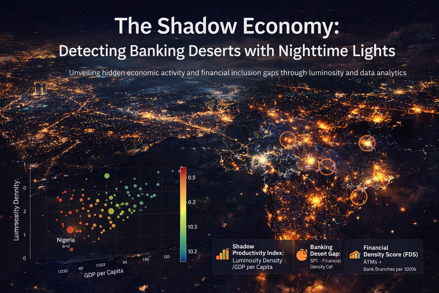
Our analysis revealed significant "Economic Inconsistencies" in several emerging economies, where high light intensity persists despite low official GDP and sparse financial infrastructure. We identified specific hotspots where the Banking Desert Gap is highest, suggesting these are the most viable regions for Fintech expansion and mobile money disruption. The model demonstrates that even modest increases in financial density could yield measurable impacts on formal economic reporting.
🌍 Inspiration
Economic activity doesn’t disappear just because it isn’t reported. In emerging markets, informal trade, agriculture, and small-scale commerce power daily life, yet remain largely invisible to official statistics. At the same time, satellites capture a truth that governments often miss: light. We were inspired by a simple question: What if nighttime lights could reveal where real economic energy exists, but formal banking does not? We set out to map that gap, the space between "invisible" productivity and financial inclusion.
🔎 What it does
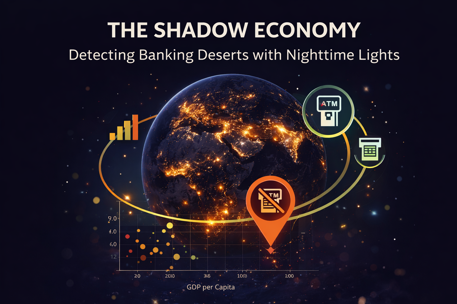
"The Shadow Economy" is a geospatial intelligence framework designed to detect Banking Deserts. It identifies regions with high economic signals (inferred from nighttime luminosity) that lack proportional financial infrastructure.
The application integrates three primary data layers to compute our proprietary metrics:
- Shadow Productivity Index (SPI): Measures luminosity density relative to official GDP per capita. A high SPI reveals where "light exists where official money doesn't".
- Financial Density Score (FDS): A composite index of ATM and commercial bank branch availability per 100k adults.
- Banking Desert Gap: Calculated as $SPI - FDS$, this metric surfaces hotspots where economic activity is visible from space, but formal financial access is missing.
Users can interact with a Policy Simulation Layer, using a "What-If" slider to model how infrastructure investment might bridge the gap and drive formal economic growth.
🛠️ How we built it
We leveraged the full power of the Hex platform to build a modular, end-to-end Python pipeline:
- Data Ingestion: Automated fetching of macroeconomic and financial indicators via the World Bank API with robust error handling for sparse datasets.
- Geospatial Processing: Developed a framework for zonal statistics to compute luminosity density per geographic boundary, designed to support real NASA VIIRS/Black Marble raster inputs.
- Feature Engineering: Normalized indices (SPI, FDS) using Min-Max scaling and 95th percentile clipping for outlier robustness.
- Interactive Modeling: Built an interpretable linear regression model within Hex to estimate the historical relationship between financial access and GDP outcomes.
- App Experience: Transformed a technical notebook into a polished, multi-tab analytical app using Hex’s UI components and shared global filters.
⚠️ Challenges we ran into
- Data Sparsity: Many informal economy indicators are sparsely reported. We engineered graceful fallbacks and "Informal Proxies" to maintain analytical continuity.
- Interpretation Risks: Nighttime lights correlate with activity but are influenced by gas flaring, electrification rates, and urban concentration. We addressed this by documenting explicit "Limitations & Caveats".
- Model Realism: Balancing complexity with interpretability. While $R^2$ values (0.084) reflect the multi-faceted nature of GDP growth, we chose a simple linear baseline to prioritize transparency for policy simulations.
🏆 Accomplishments that we're proud of
- Vibe Data Science With Engineering Rigor : Hex allowed us to use natural language to build a modular pipeline that treats satellite data as a first-class economic citizen.
- Proprietary Metrics: Moved beyond simple visualization to create the "Banking Desert Gap", a metric with immediate utility for Fintechs and NGOs.
- Transparency: We didn't hide the noise; we built a "Model Assumptions" section to explain the $R^2$ and omitted variables, increasing the project's credibility.
- Complete analysis: Achieving a seamless transition from raw API calls to 3D scatter plots and interactive geospatial heatmaps.
📚 What we learned
- Informal Traces: Informal economies leave physical footprints that can be quantified through remote sensing.
- Spatial Exclusion: Financial exclusion is as much a geographic problem as a demographic one.
- The Power of "What-If": Interactive simulations are far more effective at "baiting" stakeholders than static charts; they invite the user to participate in the solution.
🚀 What's next for The Shadow Economy
- High-Fidelity Integration: Replace simulated placeholders with real-time HDF5 files from NASA’s Black Marble.
- Subnational Granularity: Move from country-level to district-level analysis using administrative boundary shapefiles.
- Mobile Money Mapping: Integrate GSMA/CGAP mobile money metrics to capture the "digital" informal economy.
- Ground-Truth Validation: Cross-reference high-gap regions with field survey data to validate the "Banking Desert" signal.
Built With
- hex
- python

Log in or sign up for Devpost to join the conversation.